Cinghialtracks
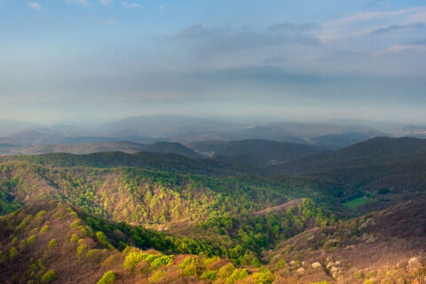
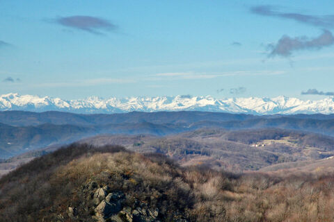
The route starts from the evocative Ferrania abbey and runs within the Adelasia Regional Reserve: an area covered with beech and chestnut trees, also rich in karst zones, caves and springs. The route leads...
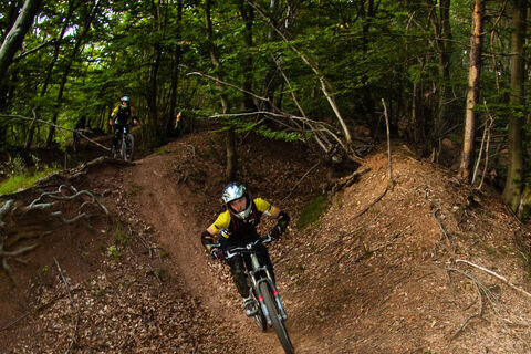
The route starts from the evocative Ferrania abbey and runs within the Adelasia Regional Reserve: an area covered with beech and chestnut trees, also rich in karst zones, caves and springs. The route leads you to the discovery of a few valleys: places steeped in history, such as the Napoleonic battle of Montenotte in April 1796. Pass through the courtyard and park of the Marquis De Mari's Villa, continue in the direction of Montenotte, pass Vasche and reach the hill of Ciliege Nere; then climb to the top of Cima del Cruv. Go into the beechwood and start descending: pass the spring area, the village of Traversine, the entrance of the Natural Reserve and the refuge Cascina Miera. Climb a few dozen metres and enter the beechwood of Bric del Tesoro, theatre of charcoal burners' activity and Napoleonic battles. Heading downhill again, pass Bric Curlin and reach Prati Dell’Amore; continuing to descend you will soon be back in the bottom of the valley of Rio Ferranietta, where your loop ends. From there, you can head uphill again following the directions Cinghialtracks and then descend once more into the valley.

Access by car: Exit the motorway at the tollbooth of Altare, then continue on the Provincial road 29 in the direction of Ferrania. info: Associazione Cinghialtracks - info@cinghialtracks.it
Shuttle service: not available
Ferrania (SV), Borgo San Pietro abbey
Classification: XC Difficulty: moderate Distance: 30 km Elevation gain/loss: 1300 m Rideability +/- : 99% Time: 3h 30m Water Points: 3 Shuttle service: not available Local Knowledge: www.cinghialtracks.it/ Best Period: March to June and September to October Route rating: Physical demand: 5 (out of 6) Technicality: 4 (out of 6) Adventure: 3 (out of 6) Views: 5 (out of 6)
Priljubljeni izleti v okolici
Ne zamudite ponudb in navdiha za naslednje počitnice
Vaš e-poštni naslov je bil dodan na poštni seznam.


