


Fil da Rueun: A ski route between Ilanz and Brigels
Stopnja težavnosti: PD


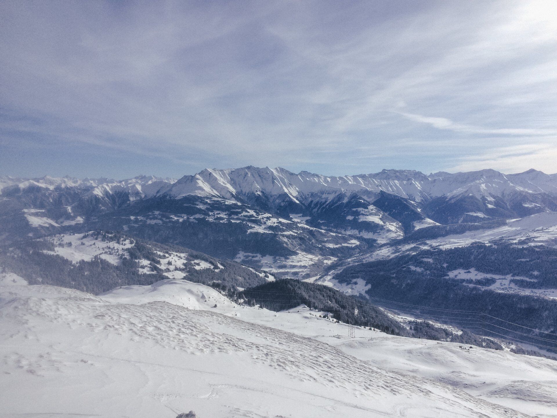
The route starts on the road between Rueun and Pigniu, at the chapel Sogn Francestg. Ideal for warming up are the slopes above alpine meadows up to Alp Miez. At the latest here, probably the first longer...
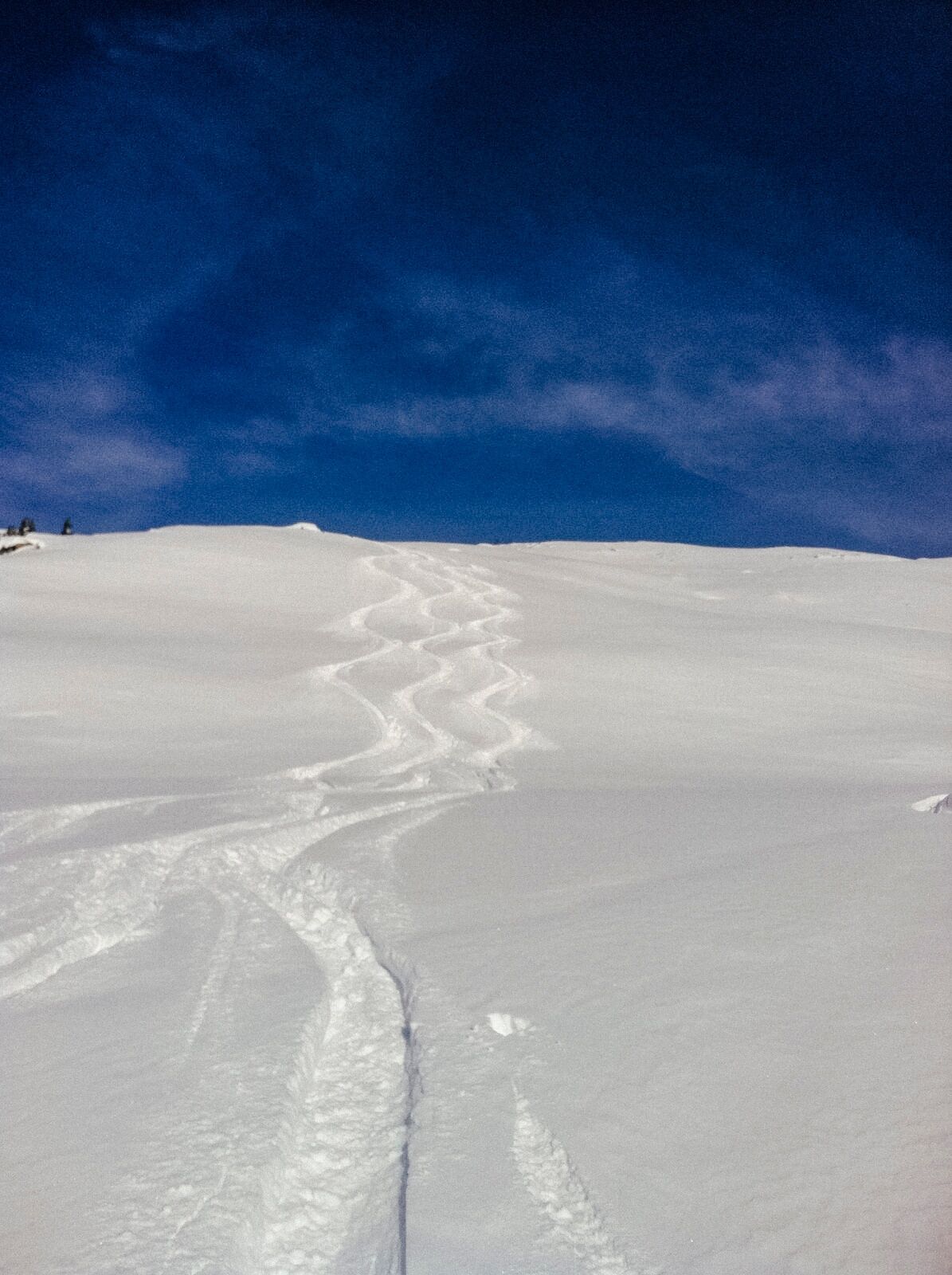
The route starts on the road between Rueun and Pigniu, at the chapel Sogn Francestg. Ideal for warming up are the slopes above alpine meadows up to Alp Miez. At the latest here, probably the first longer break is due. The extensive slopes of Alp da Rueun repeatedly feature short and steeper slopes the higher you get. Under difficult conditions, these should not be underestimated. The word "Fil" comes from the Romance language and means something like ridge or crest. In this case, the ridge is long stretched and could almost be walked endlessly. We describe the route up to point 2344. One could also receive the summit kiss already at point 2350 - depending on the...!
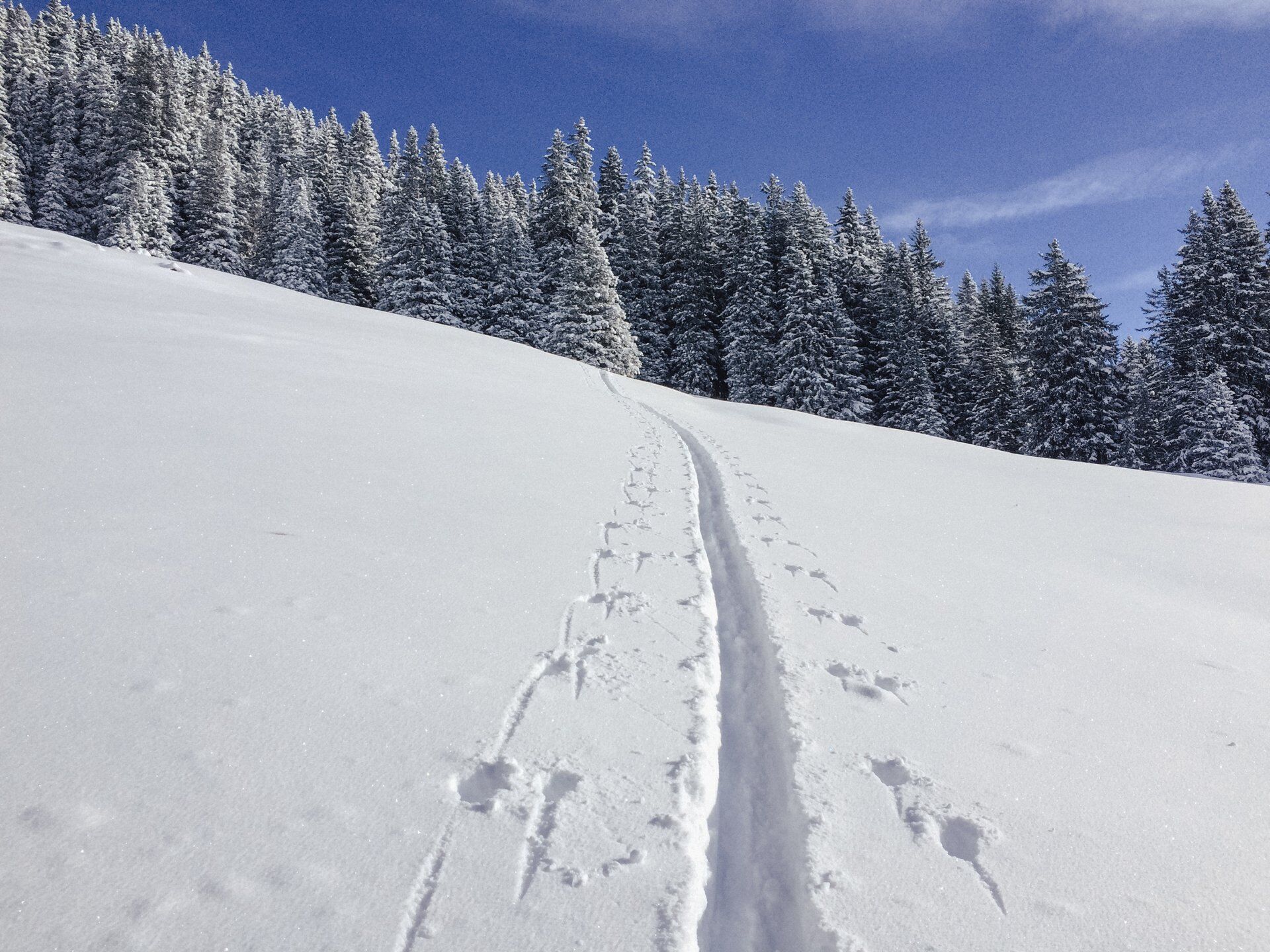
The descent basically takes place on the ascent route. It allows some room for minor variations. Those who want can also descend from Alp Stiarls to the mountain village of Siat.

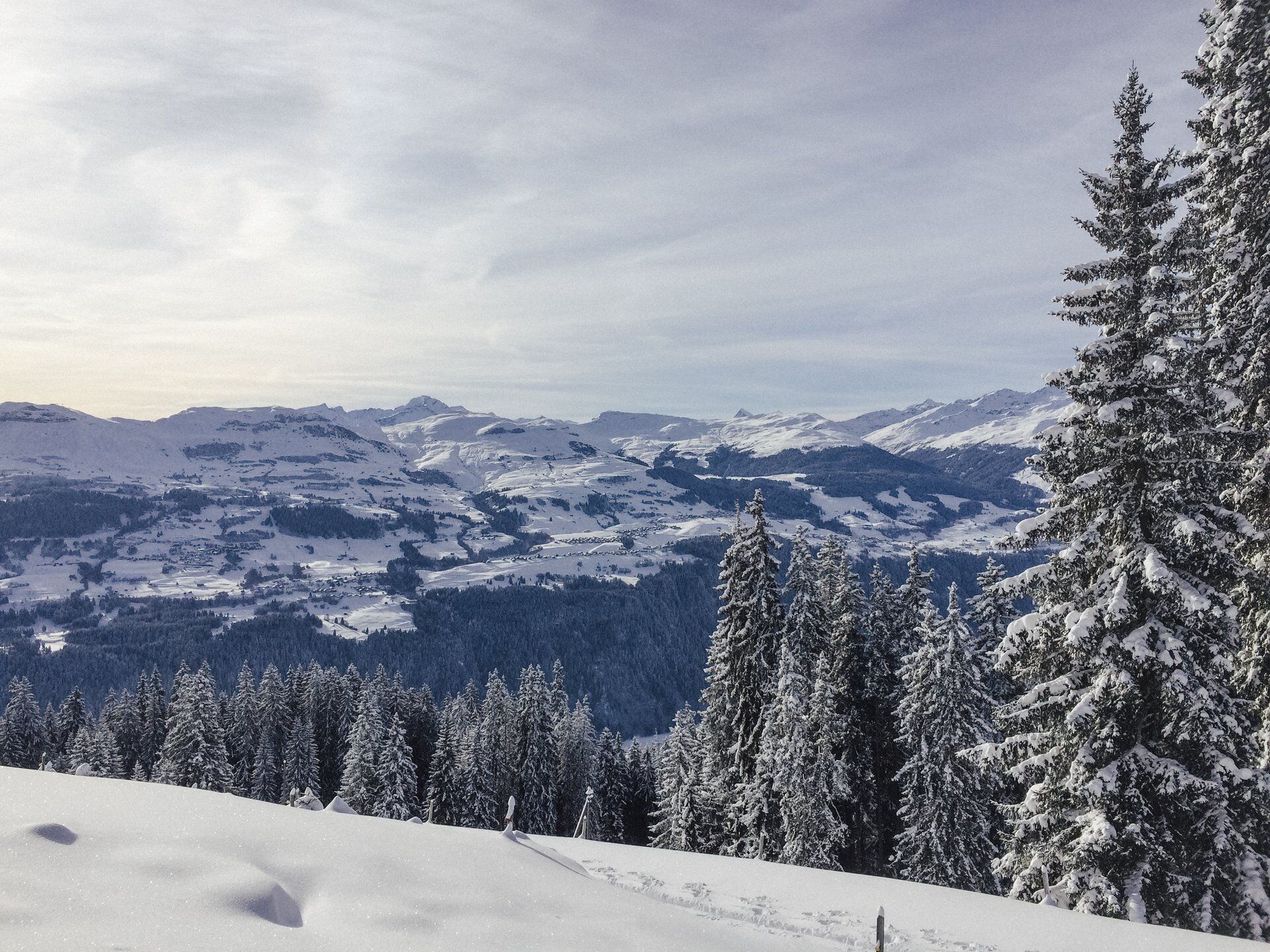
Sogn Francestg-Alp Miez-Alp da Rueu-Fil da Rueun-descent on the ascent route
Da
Da
See safety instructions
Ski and snowshoe routes in unsecured terrain require good knowledge in avalanche risk assessment and route planning. Furthermore, a full safety gear must always be carried – regardless of the current avalanche risk.
For preparation and planning of the route, we recommend the app and website of WhiteRisk.
For carefree enjoyment, we recommend our mountain guides and snowshoe hiking leaders of the Surselva.
Sogn Francestg: The same approach to Rueun. Now take the turnoff behind the village towards Pigniu.
Rather sparse connections.
From Ilanz to Rueun, S. Francestg
Sogn Francestg: At the chapel there are a few parking spots along the road. Please park "considerately."
PD
Please be sure to observe the wildlife quiet zones located around Cuolms da Rueun and at Val da Siat. More information can be found here.
The route is also ideal as a round route with snowshoes. Here is the route.
Spletne kamere s turneje
Priljubljeni izleti v okolici
-
4.5
4-lake hike
srednjaPohodništvo 12.8 km -
4.7
The riverside trail: Trutg dil Flem
srednjaTematska pot 13.5 km -
4.7
Rhine Gorge Hike: Senda Ruinaulta (659)
svetlobaPohodništvo 9.39 km -
4.8
Rheinschlucht: From Ilanz to Versam into the heart of the Rheinschlucht
srednjaPohodništvo 11.4 km -
5.0
High valley Val Frisal
srednjaPohodništvo 11.3 km -
4.3
Round trip hike Falera - Curnius - Alp Dadens - Falera
srednjaPohodništvo 11.4 km -
5.0
Staderas - Conn - Rhein Gorge Ruinaulta-Staderas
srednjaPohodništvo 19.8 km -
5.0
Rhine Gorge Circular Hike
srednjaPohodništvo 11.4 km -
5.0
Hiking route Suspension Bridge Val da Tersnaus
srednjaPohodništvo 3.24 km -
Rhine Gorge/Ruinaulta: Ilanz - Reichenau
srednjaPohodništvo 21.2 km
Pohodništvo in sledenje


Ne zamudite ponudb in navdiha za naslednje počitnice
Vaš e-poštni naslov je bil dodan na poštni seznam.