


HIKING - LA TÊTE DE NAYEMONT - A6


A chalet and an orientation table top the summit. LA TÊTE DE NAYEMONT (967 m): The particularity of the Tête de Nayemont is being made of granite at its base and sandstone at its summit. Thus, the ascent...
A chalet and an orientation table top the summit. LA TÊTE DE NAYEMONT (967 m): The particularity of the Tête de Nayemont is being made of granite at its base and sandstone at its summit. Thus, the ascent starts with a gentle slope, which becomes steeper near the sandstone summit.
It is recommended to wear good hiking shoes, also plan to bring a drink in a backpack, keep your dog on a leash and respect the paths. By car: At the roundabout, take the direction of Granges/Vologne via rue de l'Hôtel de Ville, then left onto the D 31 towards Arrentès de Corcieux (alt 684 m). At the Arrentès de Corcieux pass, turn left towards Le Clair Sapin (3 km). Continue straight on the main road to the Clair Sapin vacation center (alt 790 m) where you can park. On foot: 1/ Take the wide dirt road towards Gérardmer (red triangle). After 600 m, continue straight towards Lenvergoutte (red triangle). 1 km later, leave the left path (red triangle) and continue straight for about 250 m (green circle). 2/ Then take the left path towards Martimpré (green circle) and pass the calvary (missing cross). At the Derrière Nayemont meadow, the path continues through the forest to the Lenvergoutte crossroads (850 m). 3/ Then turn sharply left (yellow triangle). Walk 400 m to reach Ronchamps crossroads (alt 846 m). Leave the Derrière Nayemont forest road on your left and take straight ahead towards Arrentès (yellow triangle) and the Tête de Nayemont (blue cross). 4/ At 170 m from the crossroads, don't miss the small barely visible left path that climbs to the Tête de Nayemont (blue cross). 5/ At the summit (alt 967 m), after a rather long climb, you enjoy a 360° panoramic view of the Vosges peaks (notably the Hohneck*, recognizable by its chalet) and surrounding massifs. Looking north, time has sculpted trapezoid-shaped sandstone mountains with steep slopes and flat summits. To the south, granite erosion has formed the characteristic Vosges ball-shaped hills. The Tête de Nayemont* lies at the boundary between sandstone and granite Vosges. Cross this rocky chaos and take the marked path on the opposite side (blue cross) which joins the path you took on the way up. Descend this path to reach the wide dirt road at point 4/. Turn left (yellow triangle). This path will take you back to the starting point located 1.7 km away. 6/ Beautiful views of the village of Gerbépand and the Saint-Dié basin in the distance. To see: LE HOHNECK (1363 m): It is the 3rd highest Vosges peak. It overlooks the ridge that separates Alsace from Lorraine. You can enjoy a superb panorama of the Vosges massifs, the Alsace plain, the Black Forest, and the Alps in clear weather. A chalet and an orientation table top the summit. LA TÊTE DE NAYEMONT (967 m): The particularity of the Tête de Nayemont is being made of granite at its base and sandstone at its summit. Thus, the ascent starts with a gentle slope, which becomes steeper near the sandstone summit.
Da
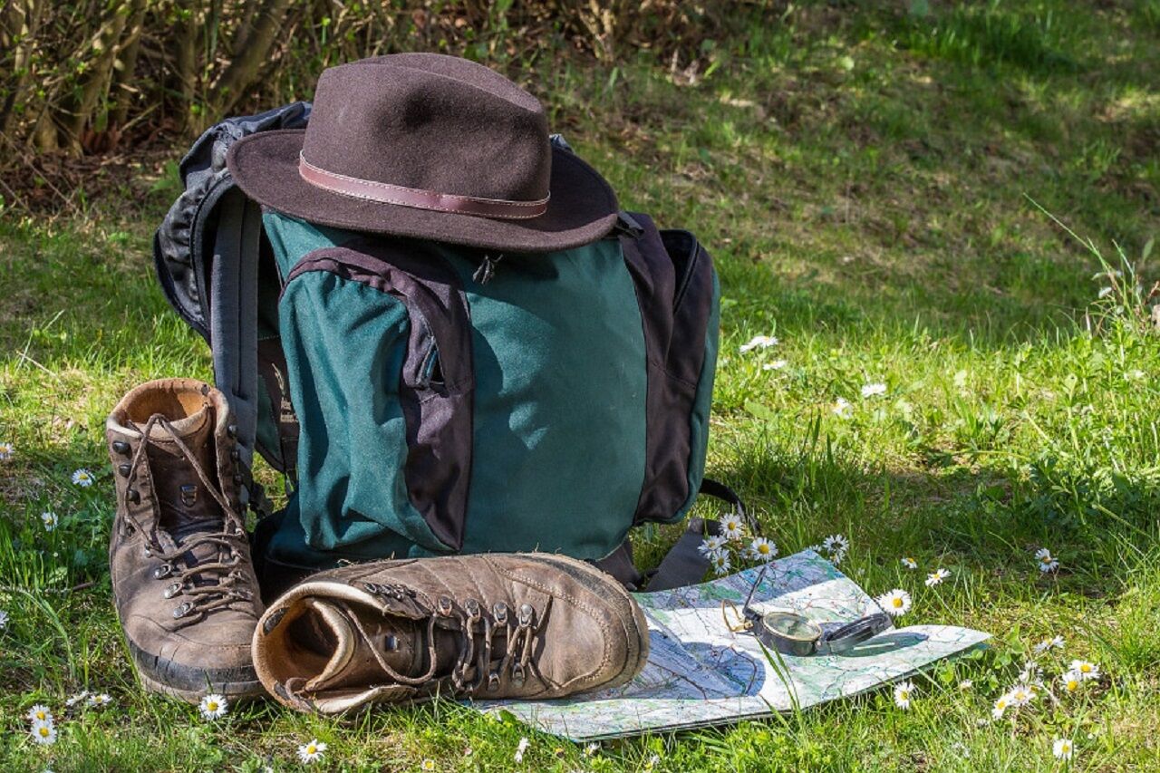
Clothing suitable for the season and conditions (cold, hot, humid…)
Hiking shoes suitable for the terrain (even for children!)
Hiking poles (useful for stability and relieving joints)
Mobile phone and spare battery
Before leaving:
Check the general and local weather, ensuring no precipitation
Inform yourself about the approach walk, height of the route, duration, possible escape routes (IGN map, GPS, guidebook, etc.)
Assess possible risks by consulting mountain professionals, refuges, lodgings
Inform a close person of your objective and contact them in case of changes: departure and return times, number of participants with each phone number, vehicle(s), parking
Avoid going alone, use equipment suitable for the activity, adjusted and in good condition, headlamp, complete first aid kit, survival blanket, etc.
In case of emergency, call 112 (European emergency number)
Clairsapin
www.fluo.eu
Free parking on site
TOURIST OFFICE OF CORCIEUX
9 rue Henry
88430 CORCIEUX
03 29 50 73 29
Priljubljeni izleti v okolici
Tour de l'Altenweiher et Rainkopf, Mittlach, France
srednjaPohodništvo12,6 kmWald, Moor und Panorama
srednjaPohodništvo9,56 km- 4,0
Circuit rando - le tour des 3 lacs
srednjaPohodništvo12,7 km Walk Farmhouse-Inn Gaschney - A feast for the eyes
srednjaPohodništvo4,05 kmWalk Forlet Farm-Inn - Walk facing the most beautiful glacial cirque of the Vosges
srednjaPohodništvo3,97 kmA la conquête des sommets vosgiens !
težkoPohodništvo v daljavo41,6 kmLe sentier des ducs
srednjaPohodništvo v daljavo340,7 kmLa Mexel Farmhouse-Inn walk - Along the levées de pierres
srednjaPohodništvo4,43 km- 4,5
Tour du Lac du Gérardmer
srednjaPohodništvo5,49 km Boucle entre lacs et crête; gazon du Faing et lac des truites, Orbey, France
srednjaPohodništvo11,5 km
Pohodništvo in sledenje


Ne zamudite ponudb in navdiha za naslednje počitnice
Vaš e-poštni naslov je bil dodan na poštni seznam.