


Regional loop Alsace à Vélo BR38: the Piste des Forts
Stopnja težavnosti: 3


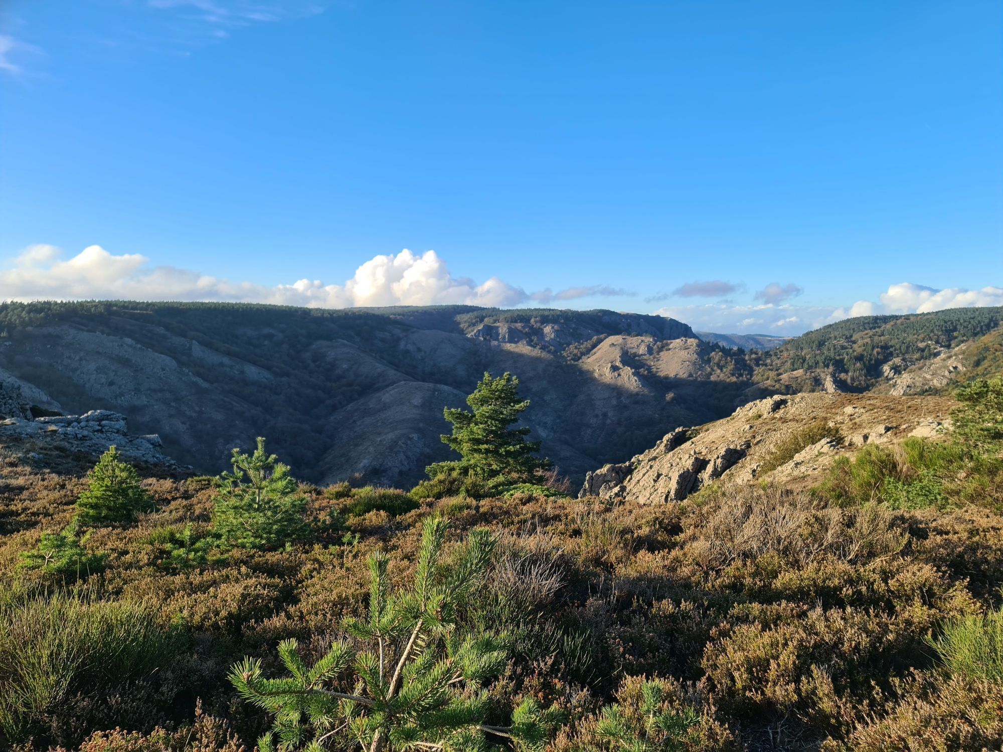
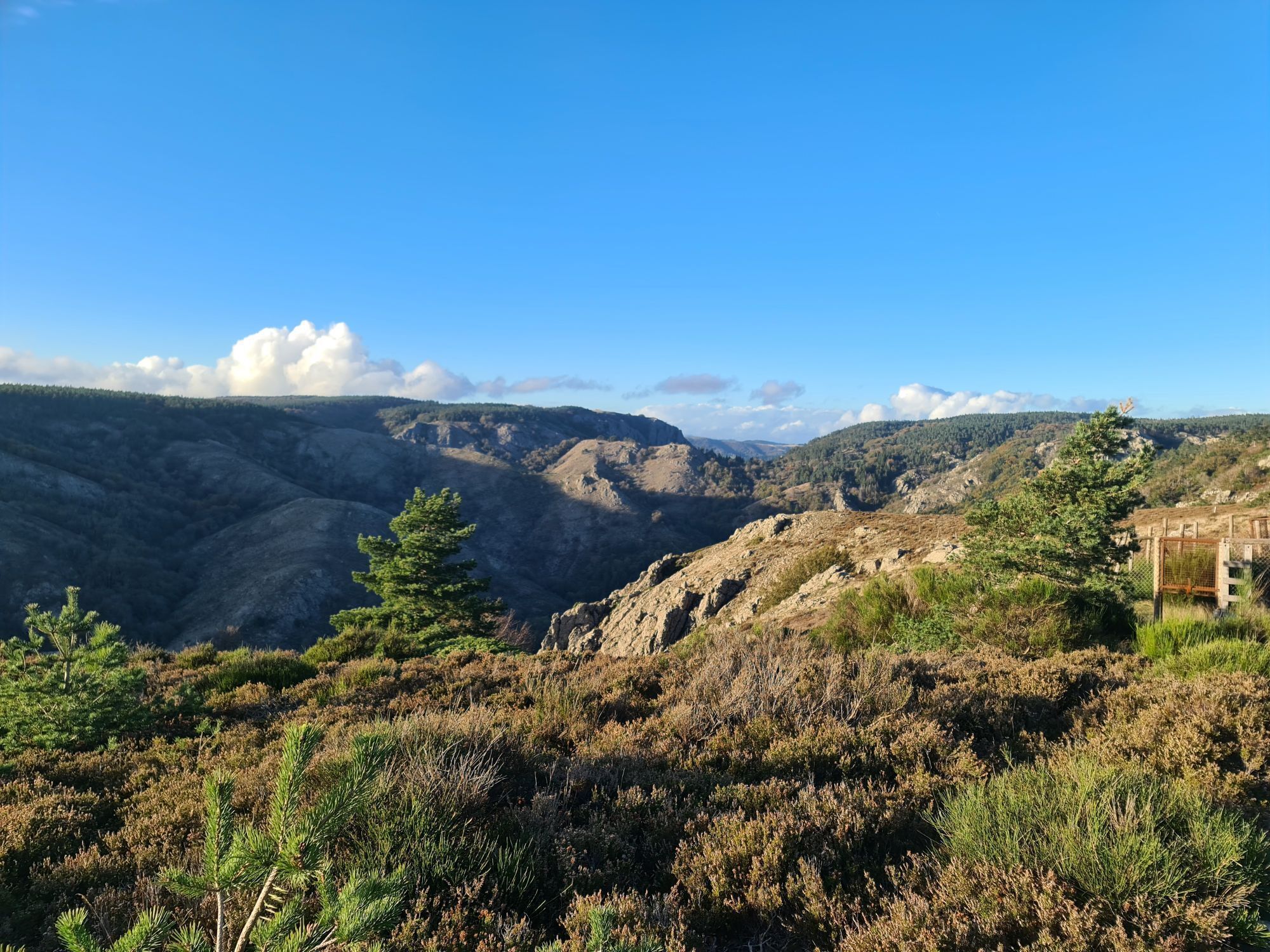
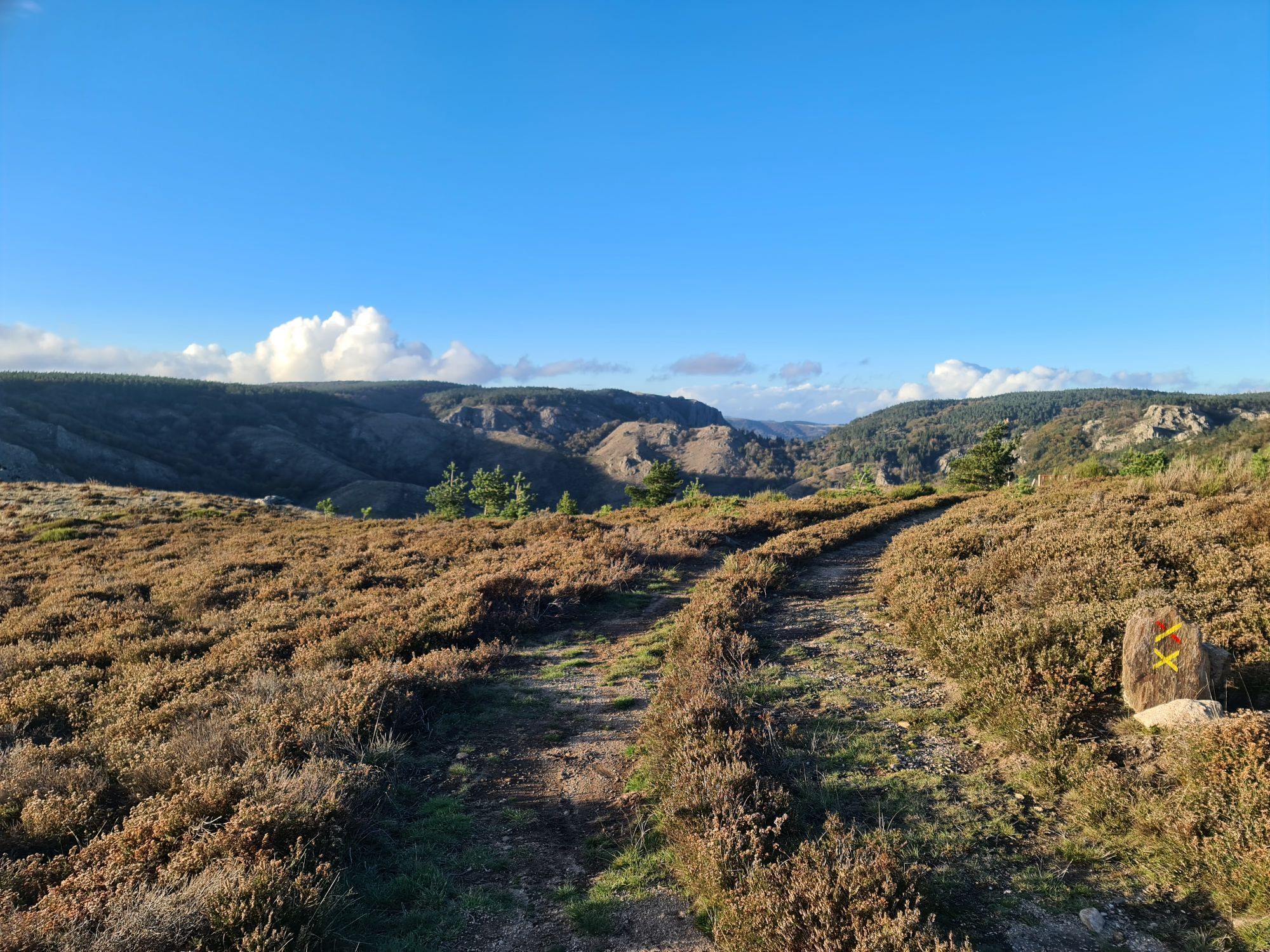
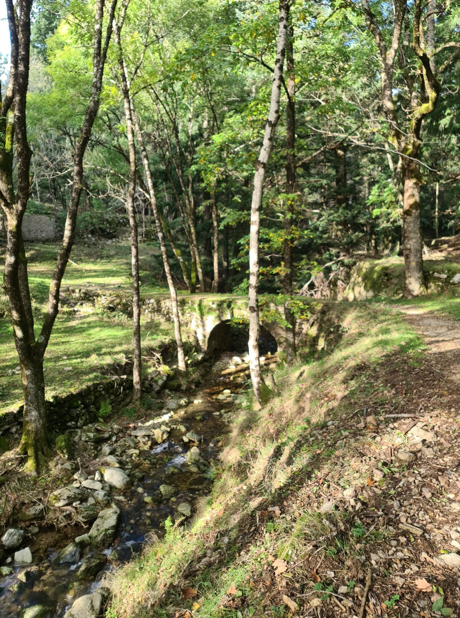
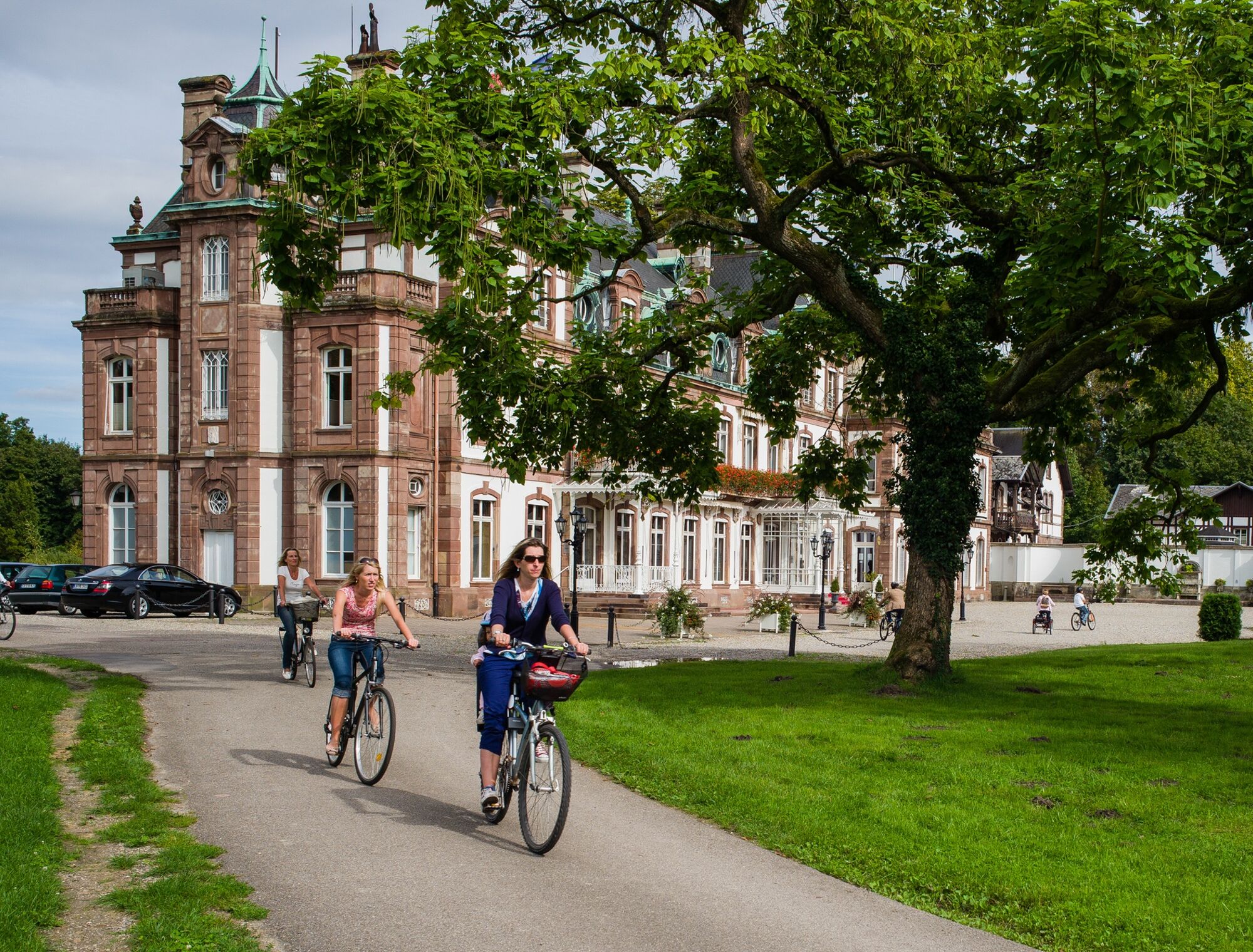
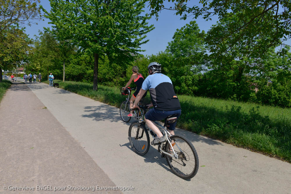
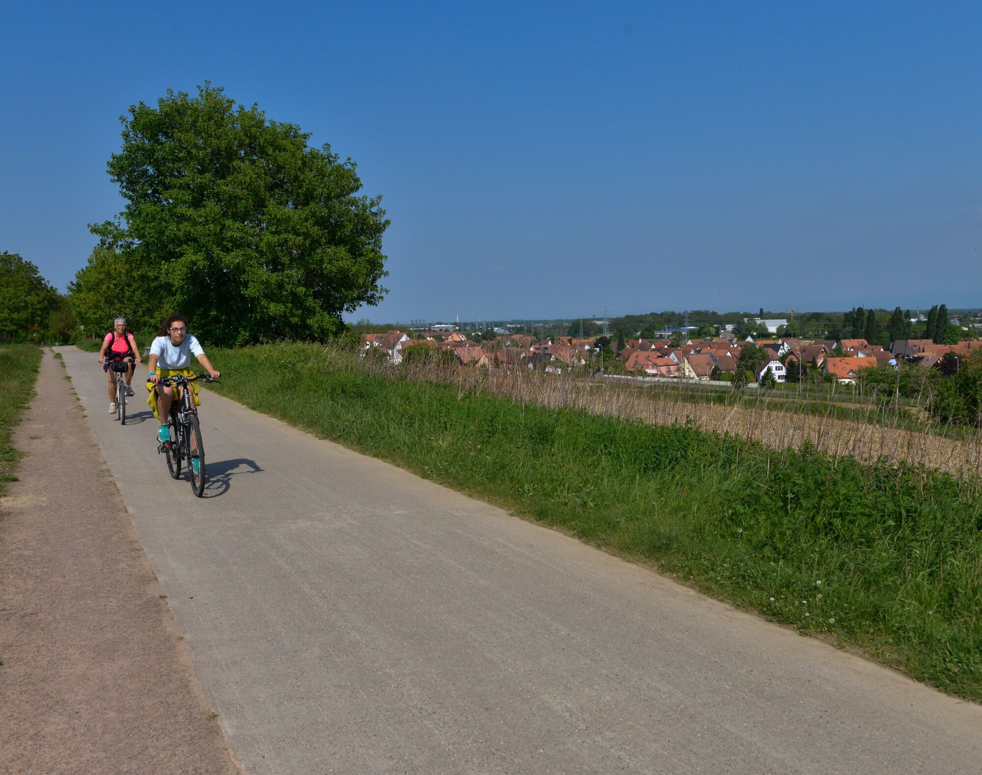
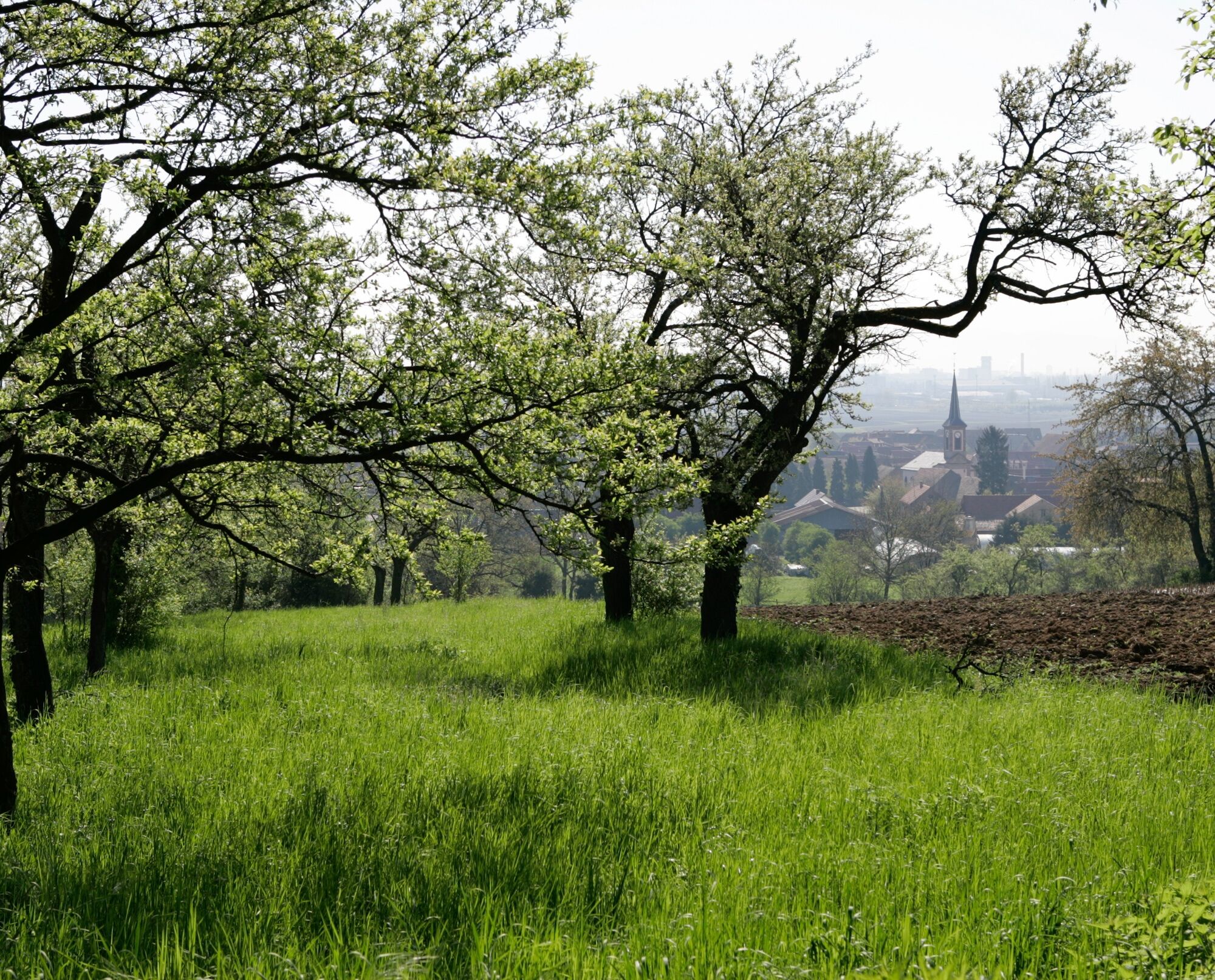
The Piste des Forts is a Franco-German cycling route that combines heritage and nature at the gates of Strasbourg. It offers a route of 85 km on both sides of the Rhine and takes you from the slopes of...
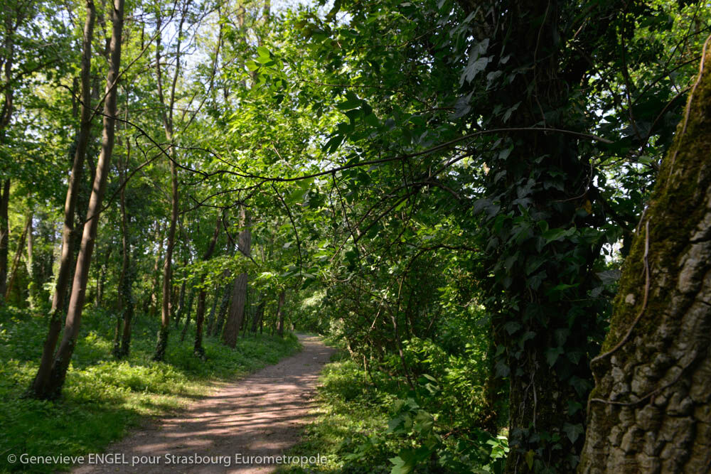
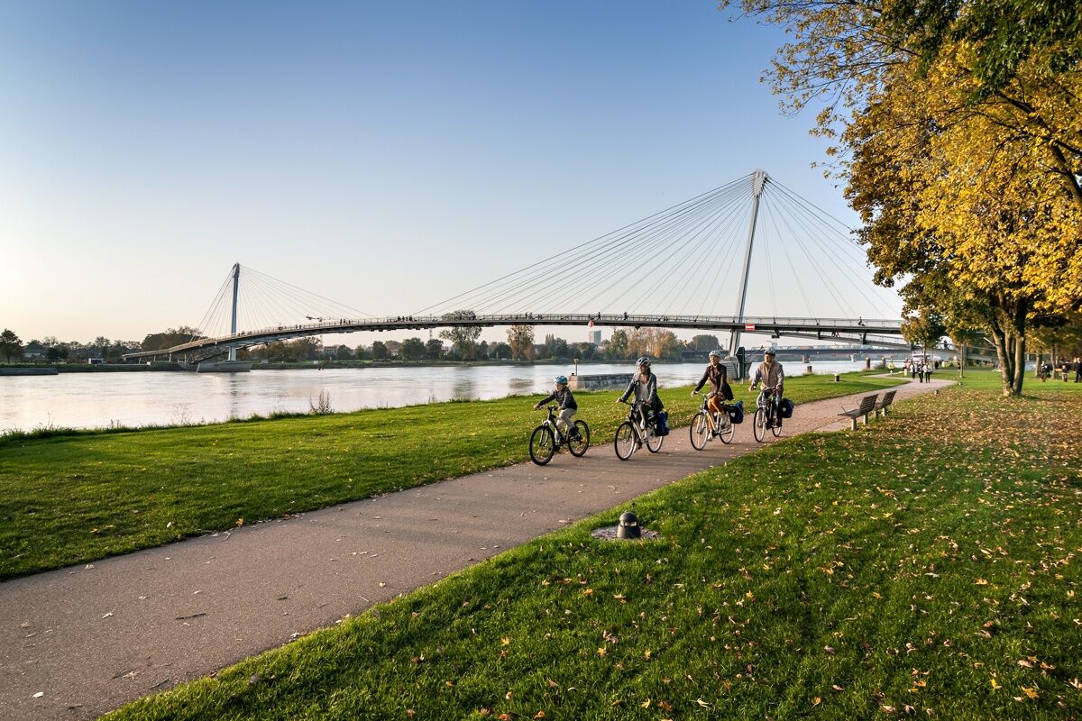
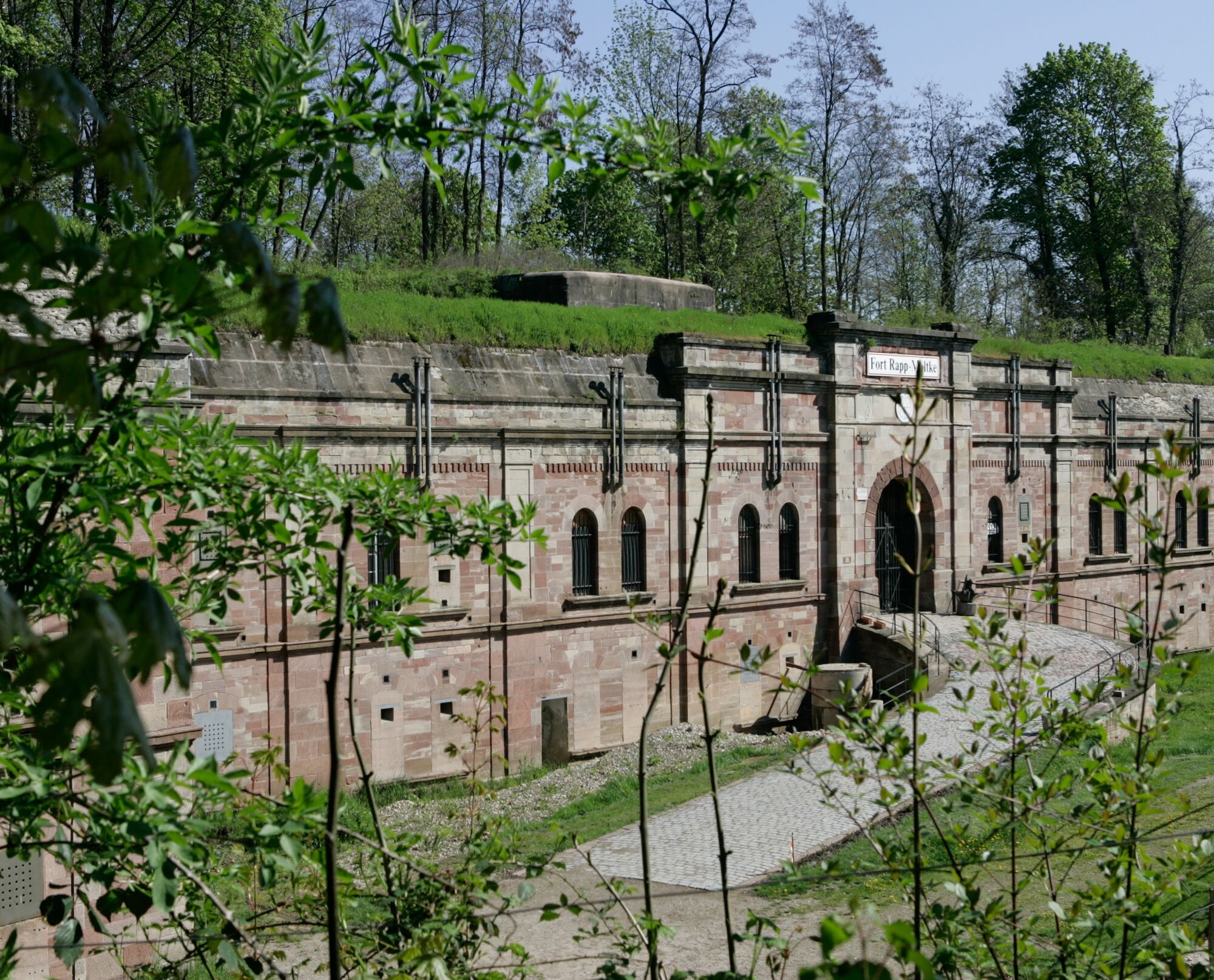
The Piste des Forts is a Franco-German cycling route that combines heritage and nature at the gates of Strasbourg. It offers a route of 85 km on both sides of the Rhine and takes you from the slopes of Hausbergen to the countryside of Ortenau, from the Rhenish forests of Illkirch-Graffenstaden to those of Wantzenau, discovering the 19 works of the “Fort Belt”.

Da
Before you set off:
Make sure the bike is in perfect mechanical condition, including tires and brakes Ensure the bike is properly adjusted to your body Wearing a helmet is strongly recommended Bring a repair kit Remember that traffic laws apply to cyclists at all times Never ride more than two abreast and form a single file when traffic conditions require it Respect other users as you would want them to respect you Choose a route suitable for your physical capabilities Inform those around you of your route Check the weather conditions A first aid kit is not essential but can be very useful Inform yourself and keep emergency numbers handy Respect the environment by not throwing food wrappers on the roadside If you need to return at nightfall, make sure you can see and be seen
Emergency number: 112
Priljubljeni izleti v okolici
Renchtal Radtour 8 - Zur Europastadt Straßburg
srednjaKolesarjenje64,2 km- 4,0
Cross-border bike route: Offenburg (DE) - Molsheim
srednjaKolesarjenje53,9 km "Strasbourg - Rosheim - Obernai" cylce tour
srednjaKolesarjenje72,4 kmStrasbourg au fil de l'eau
svetlobaKolesarjenje26,4 kmAu fil de l'eau à Strasbourg
srednjaCestno kolo21,8 kmRadweg zu den Forts (oder Piste des Forts)
srednjaKolesarjenje85,7 kmAu fil de l'eau : itinéraire vélo "Strasbourg liquide"
Pohodništvo18,6 km- 5,0
Kehl - St. Nepomuk - Markusgemeinde Goldscheuer - Evangelische Kirche
srednjaKolesarjenje34,0 km Friedenskirche - St. Nepomuk - Evangelische Kirche - Kehl
srednjaKolesarjenje40,7 kmKehl - Neumühl - Kronenhof - Insel
svetlobaPohodništvo16,6 km
Pohodništvo in sledenje


Ne zamudite ponudb in navdiha za naslednje počitnice
Vaš e-poštni naslov je bil dodan na poštni seznam.