


Winter hike from Söllereck to Riezlern
Stopnja težavnosti: 2


Fotografije naših uporabnikov
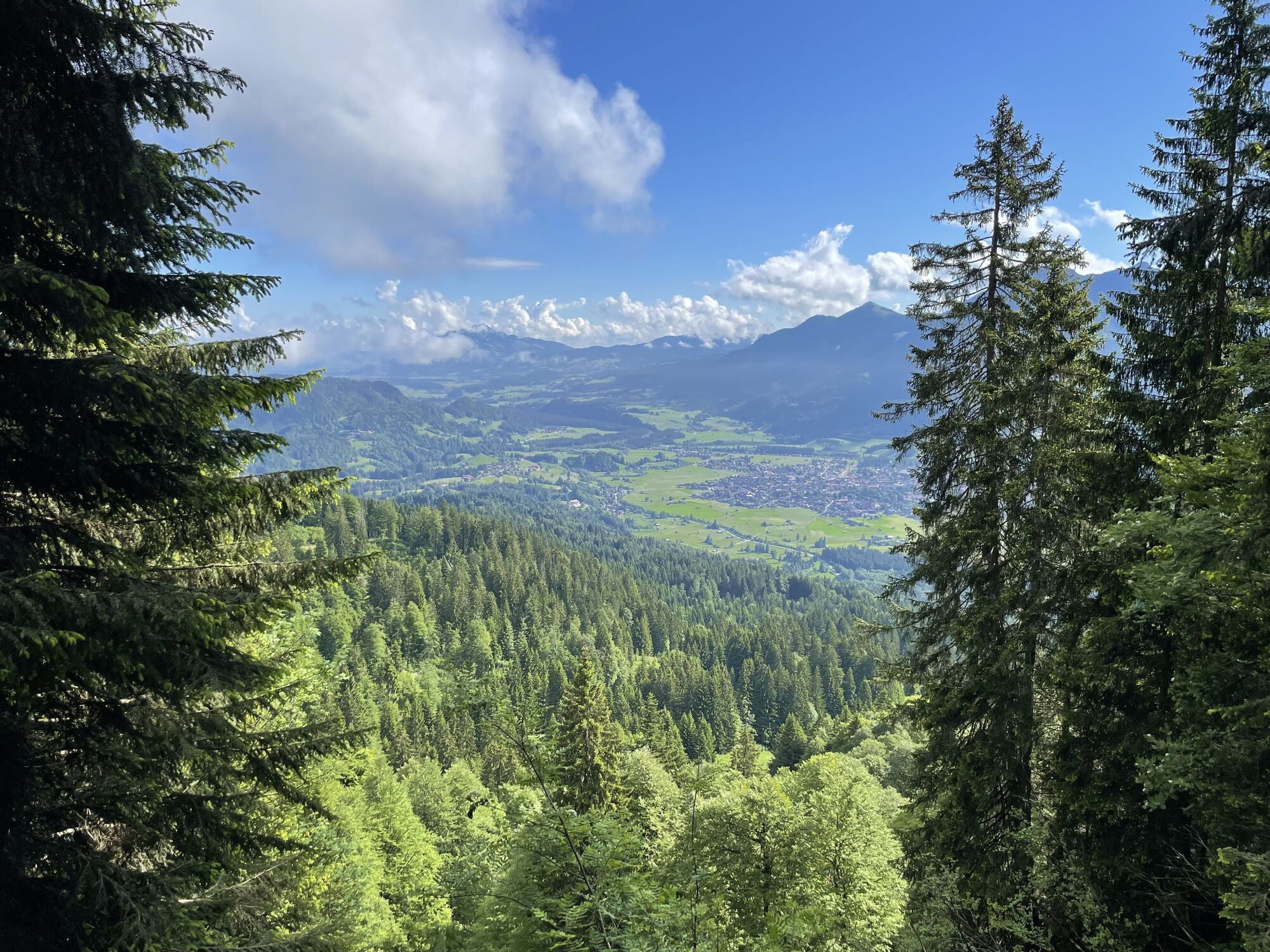
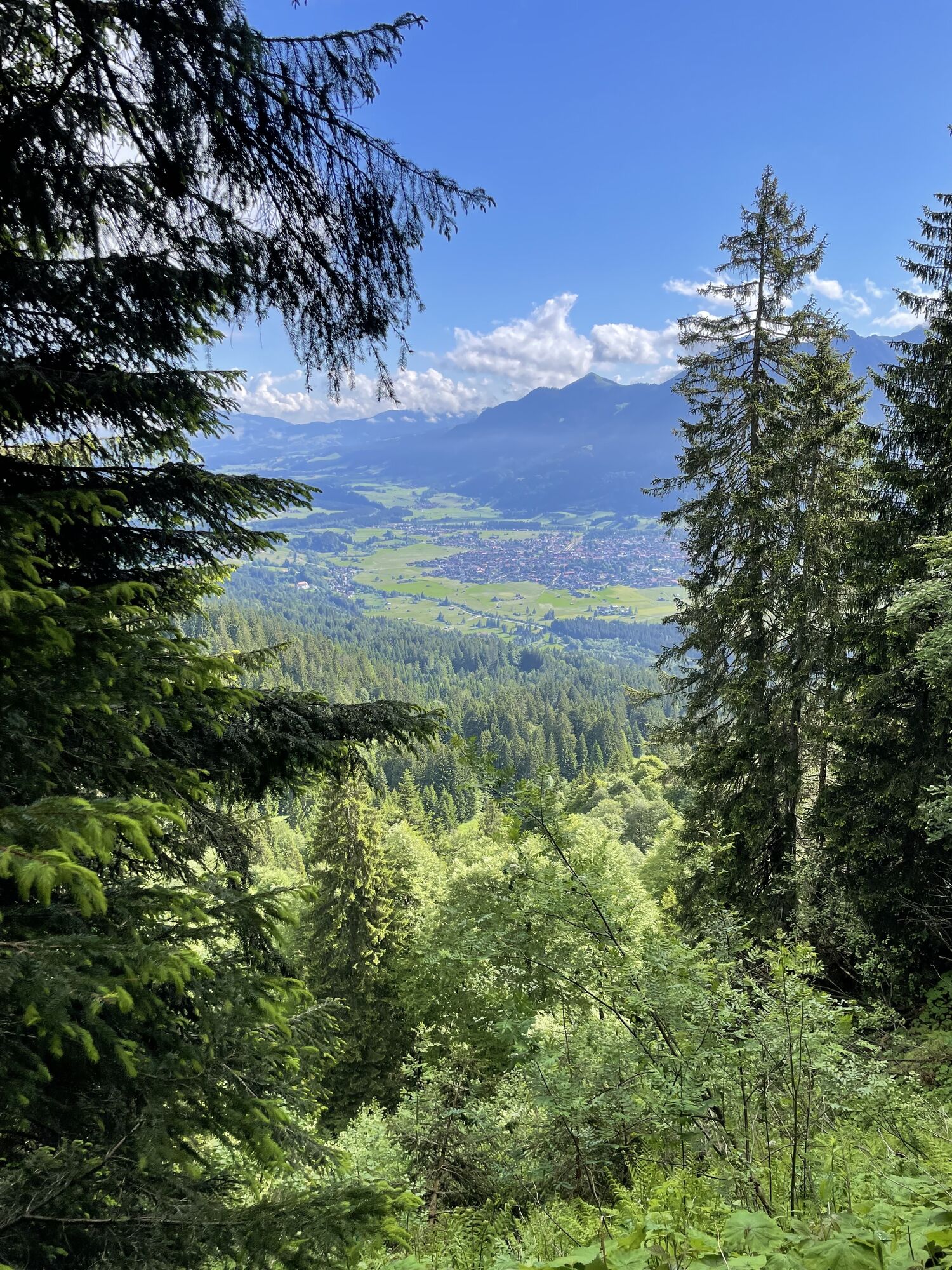
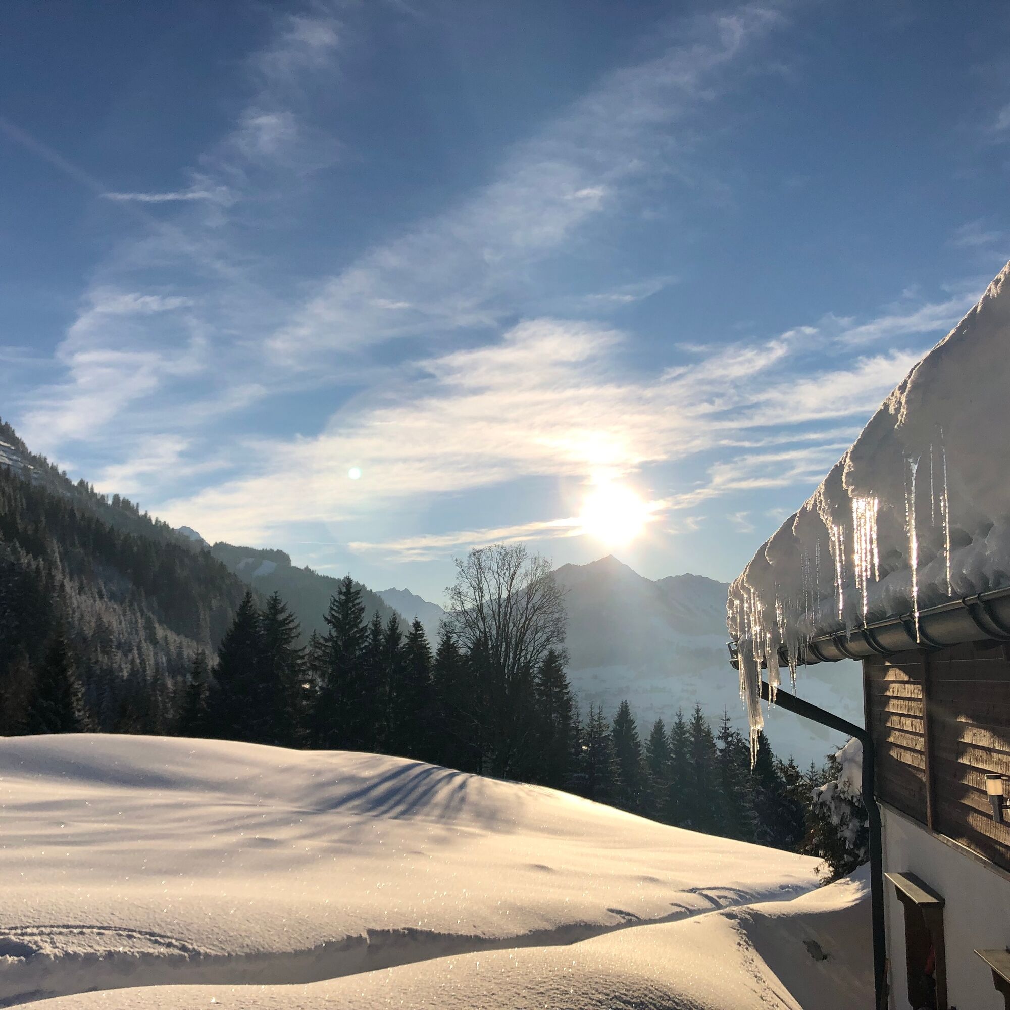
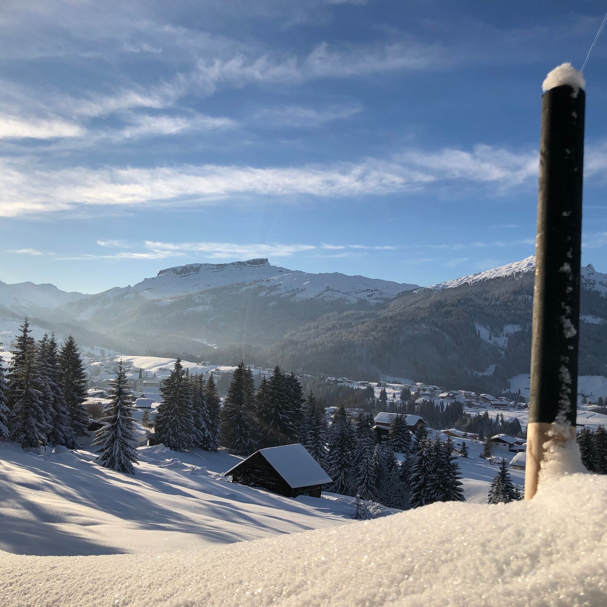
From the summit station Söllereck, the winter hiking trail gently ascends past the Alpe Schrattenwang, which is operated in winter, to the highest point of the hike. From there, the scenic, groomed winter...
From the summit station Söllereck, the winter hiking trail gently ascends past the Alpe Schrattenwang, which is operated in winter, to the highest point of the hike. From there, the scenic, groomed winter hiking trail descends and crosses the border. Always in view is the summit of the Hoher Ifen and the Gottesacker plateau. Passing the Mittelalp and the Bergstüble mountain hut operated in winter, the route crosses the Westeggtobel and descends directly into the village center of Riezlern.
Summit station Söllereck - Alpe Schrattenwang (operated in winter) - Mittelalp - Bergstüble - Westeggtobel - Riezlern Post
Da
Sturdy footwear and weather-appropriate clothing. Hiking poles recommended for steeper sections.
EMERGENCY CALL:
144 Alpine emergencies Vorarlberg
112 European emergency number (works with any mobile phone/network)
Most routes from Germany converge in Ulm and continue on the A7. At the Allgäu motorway junction via a section of the A980 to the Waltenhofen exit and on the four-lane B19 via Sonthofen and Oberstdorf into the Kleinwalsertal. From Austria (Vorarlberg) and Switzerland you reach Kleinwalsertal via the Bregenz Forest (Hittisau) – Riedberg Pass – Fischen – Oberstdorf. Coming from Tirol the fastest route is via the A7 to Kempten and further on the B19 towards Oberstdorf. No motorway vignette is required for the drive into the valley.
Starting point of the route: Walserbus, line 1 - Söllereck bus stop
End point of the route: Return trip with Walserbus line 1 - Riezlern Post bus stop
Paid parking spaces at the Söllereck valley station.
2
Of course, the route can also be done starting in Riezlern uphill and using the Söllereckbahn as an aid for the descent.
The route is recommended from early afternoon with pleasant sunshine.
Spletne kamere s turneje
Bergstation Kanzelwandbahn Riezlern
Fellhornbahn Station Schlappoldsee
Fellhornbahn Gipfelstation
Fellhorn/Oberstdorf Kleinwalsertal
Hirschegg - Naturhotel Chesa Valisa
Zaferna Bergstation
Oberstdorf Schanze
Riezlern - Kinderland
Wildentalhütte
Riezlern Unterwestegg - Gästehaus Almenrausch
Hirschegg - Hotel Walserhof
Hirschegg - Hotel Birkenhöhe
Hirschegg - Hotel Sonnenberg
Mittelberg Bödmen - Hotel Alte Krone
Möserbahn Berg
Möserbahn Berg
Möserbahn Berg
Möserbahn Berg
Möserbahn Berg
Söllereck / Oberstdorf
Oberstdorf Langlaufstadion
Oberstdorf
Oberstdorf
Oberstdorf
Oberstdorf Skiflugschanze
Oberstdorf Tiefenbach
Kornau / Oberstdorf - Ringhotel Nebelhornblick
Oberstdorf - Hotel Mohren
Kanzelwand / Fellhorn
Hirschegg/Kleinwalsertal
Hirschegg/Kleinwalsertal
Naturbad Freibergsee
Heini-Klopfer-Skiflugschanze
Fellhorn
Oberstdorf - Scheibenhaus
Mittelberg - Gästehaus Otto Fritz
Hochleite - Stillachtal
Hochleite
Bannholzhof
Söllereck / Schrattenwang
Priljubljeni izleti v okolici
- 4,4
Mountain tour over the Fellhorn ridge
srednjaPohodništvo8,24 km - 4,6
Rubihorn
srednjaPohodništvo9,06 km - 3,4
Mountain tour over the Hoher Ifen
težkoPohodništvo13,9 km - 4,7
Kanzelwand nach Söllereck
srednjaPohodništvo8,58 km - 4,7
Widderstein Runde von Baad
srednjaPohodništvo15,7 km - 4,2
Kanzelwand- Fellhorn- Kanzelwand
svetlobaPohodništvo7,60 km - 4,8
Hindelanger Klettersteig ab Edmund-Probst-Haus + Rückweg
srednjaVia ferrata10,7 km - 4,9
E5 - 1. Etappe: Oberstdorf - Kemptner Hütte
svetlobaPohodništvo v daljavo7,80 km - 4,6
Entschenkopf
težkoPohodništvo12,3 km - 4,7
Unterer Gaisalpsee
srednjaVisokogorska tura8,64 km
Pohodništvo in sledenje


Ne zamudite ponudb in navdiha za naslednje počitnice
Vaš e-poštni naslov je bil dodan na poštni seznam.