


From Hochgrat via Rindalphorn


Fotografije naših uporabnikov
 © Max WiedemannUstvarjeno na 18.09.2023
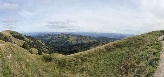
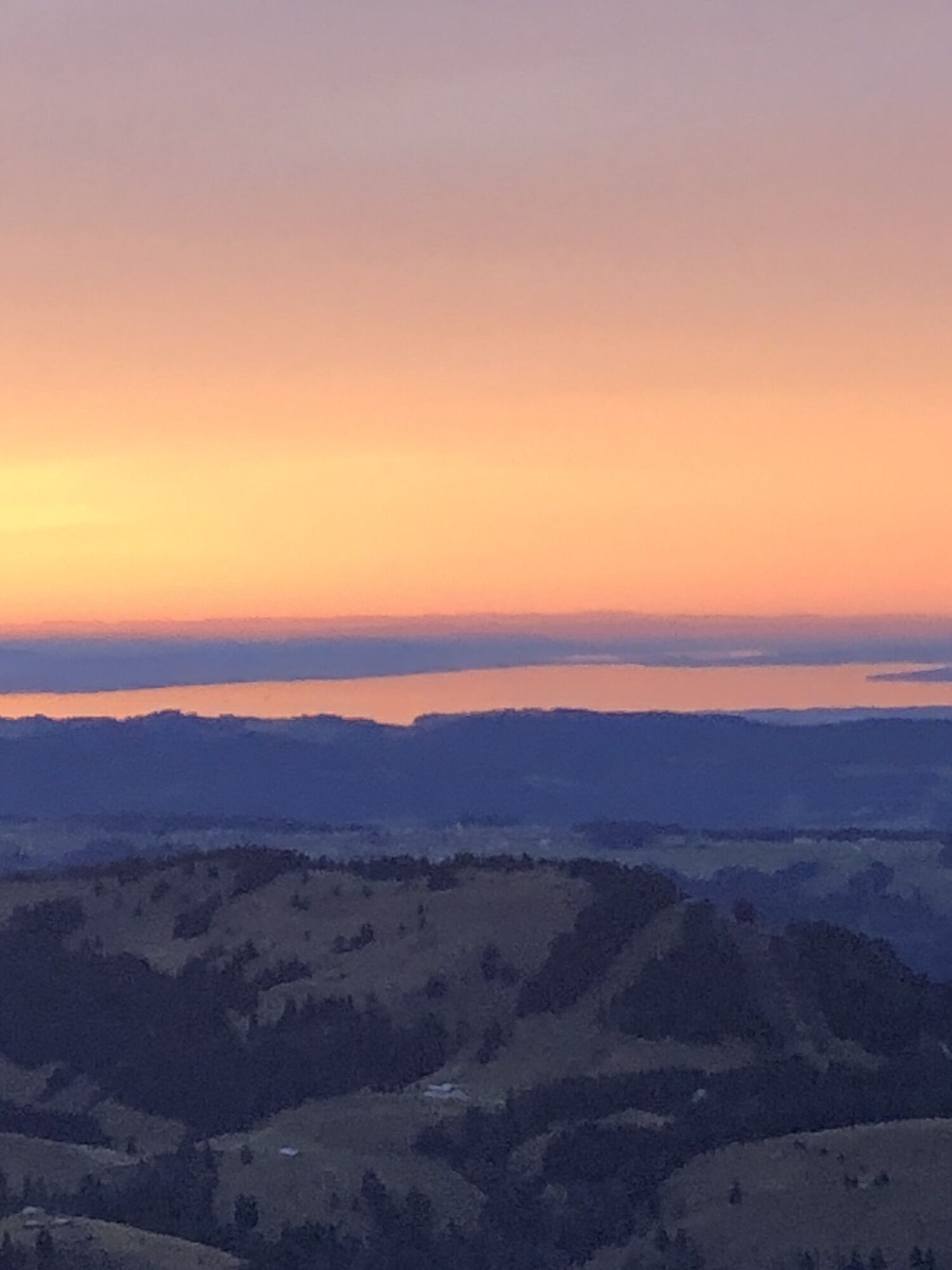
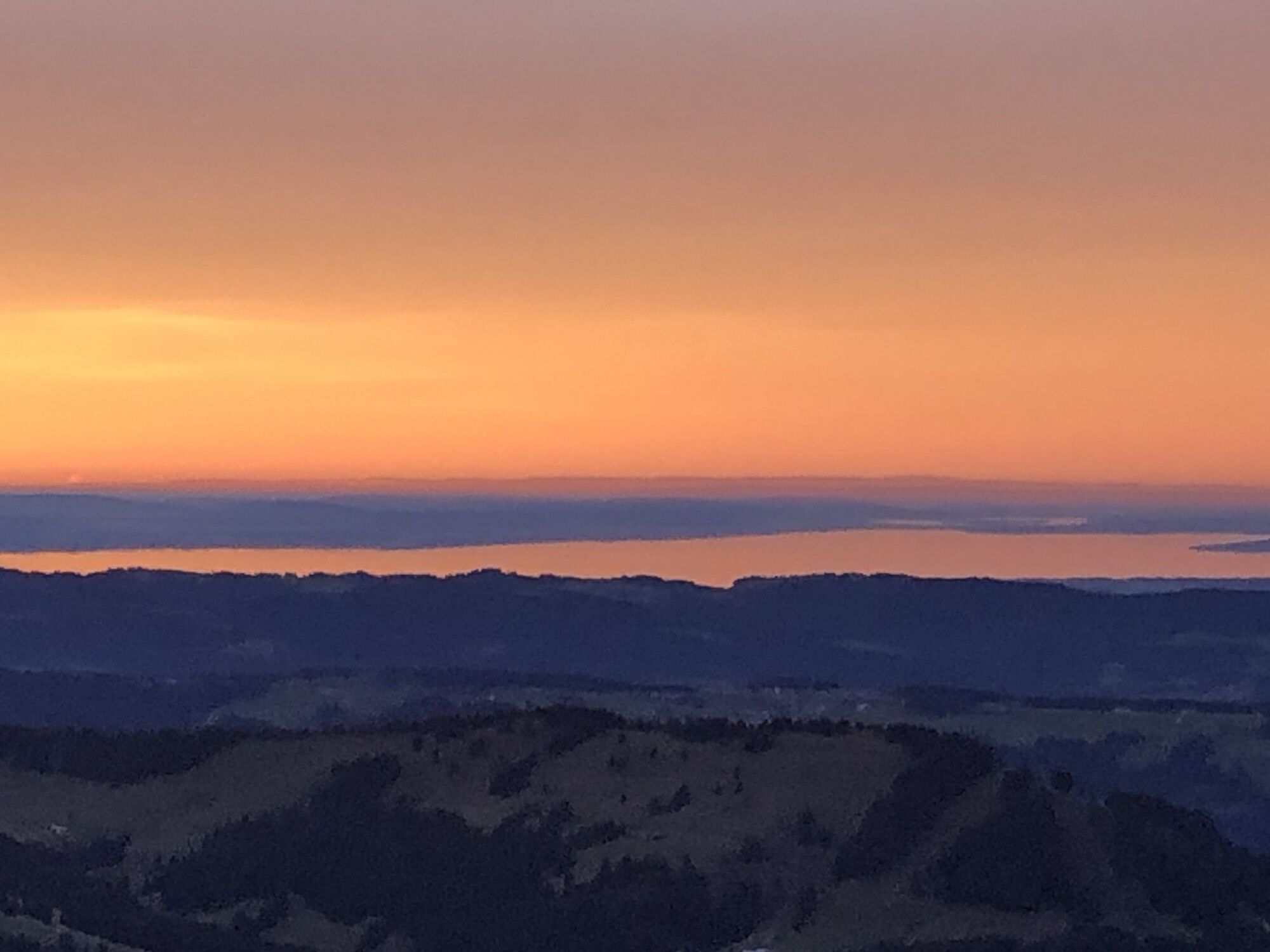
 © Norbert HerbigUstvarjeno na 13.09.2025
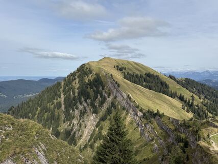 © Norbert HerbigUstvarjeno na 13.09.2025
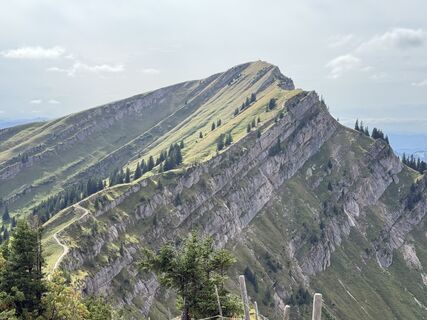 © Norbert HerbigUstvarjeno na 13.09.2025
 © Norbert HerbigUstvarjeno na 13.09.2025
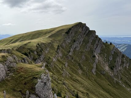 © Norbert HerbigUstvarjeno na 13.09.2025
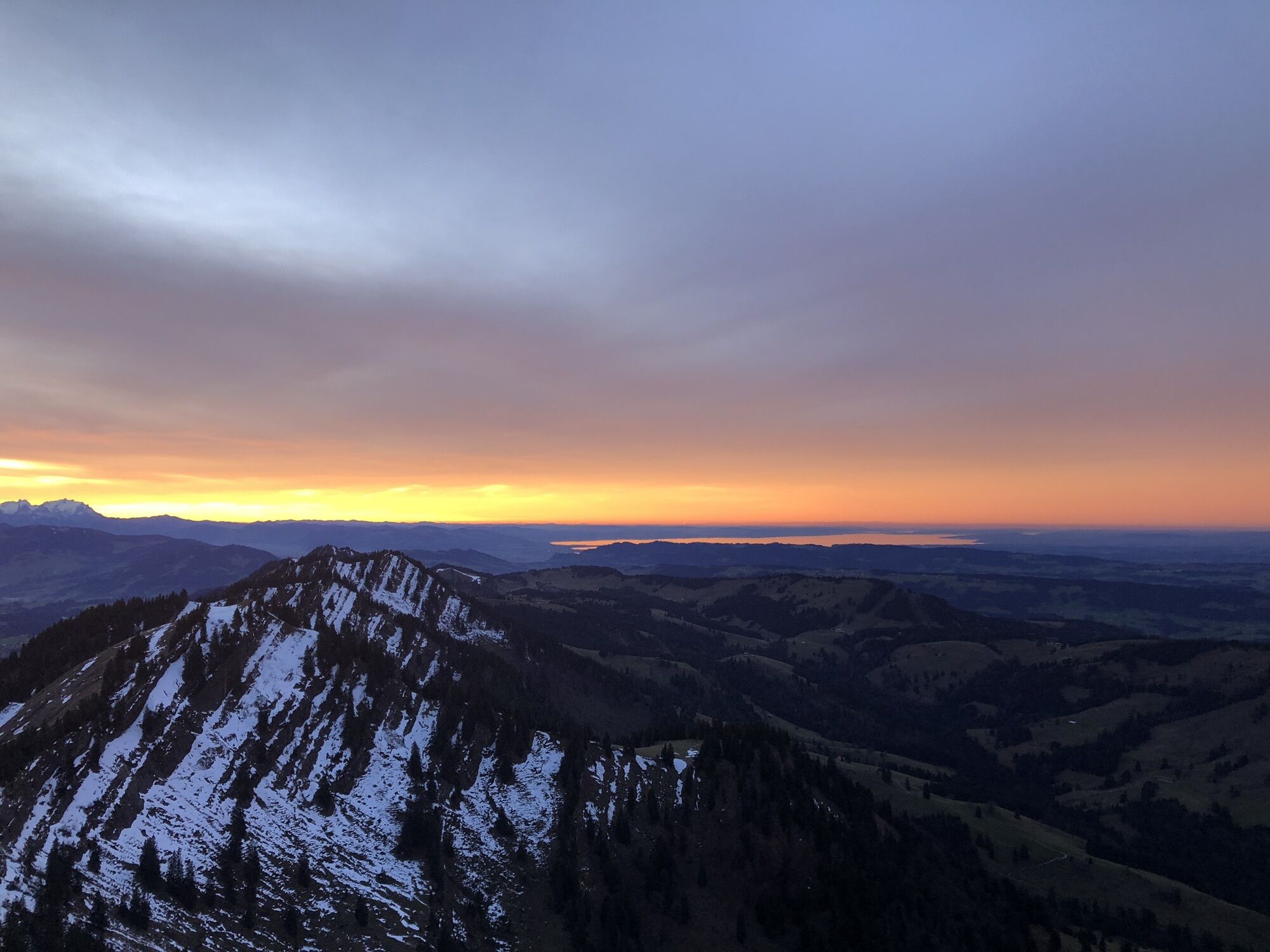
 © Werner FeltenUstvarjeno na 16.08.2025
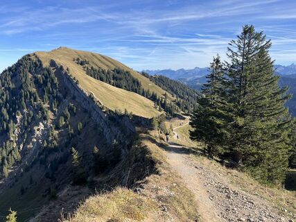
 © Daniel HerzUstvarjeno na 01.11.2024
 © Daniel HerzUstvarjeno na 01.11.2024
 © Daniel HerzUstvarjeno na 01.11.2024
 © Daniel HerzUstvarjeno na 01.11.2024
 © Daniel HerzUstvarjeno na 01.11.2024
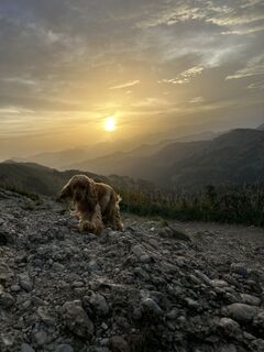 © Max WiedemannUstvarjeno na 18.09.2023
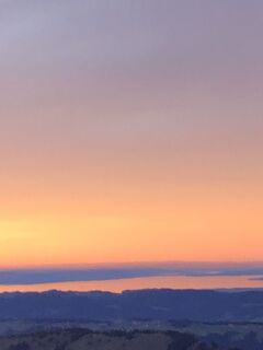
 © Eva AlbertsmeierUstvarjeno na 31.12.2022
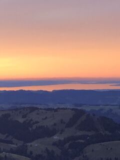 © Eva AlbertsmeierUstvarjeno na 31.12.2022
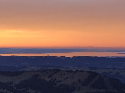 © Eva AlbertsmeierUstvarjeno na 31.12.2022
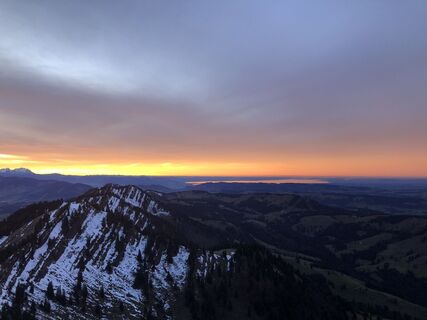 © Eva AlbertsmeierUstvarjeno na 31.12.2022
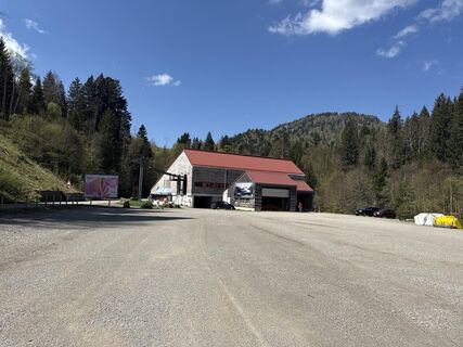
 © SimilaunUstvarjeno na 29.04.2025
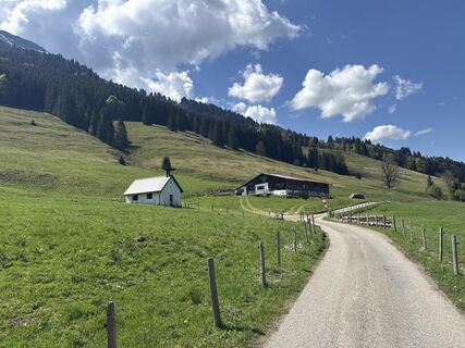 © SimilaunUstvarjeno na 29.04.2025
 © SimilaunUstvarjeno na 29.04.2025
 © Erich Graf 2Ustvarjeno na 19.01.2025
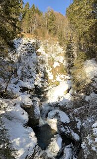 © Erich Graf 2Ustvarjeno na 19.01.2025
 © Erich Graf 2Ustvarjeno na 19.01.2025
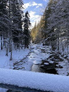 © Erich Graf 2Ustvarjeno na 19.01.2025


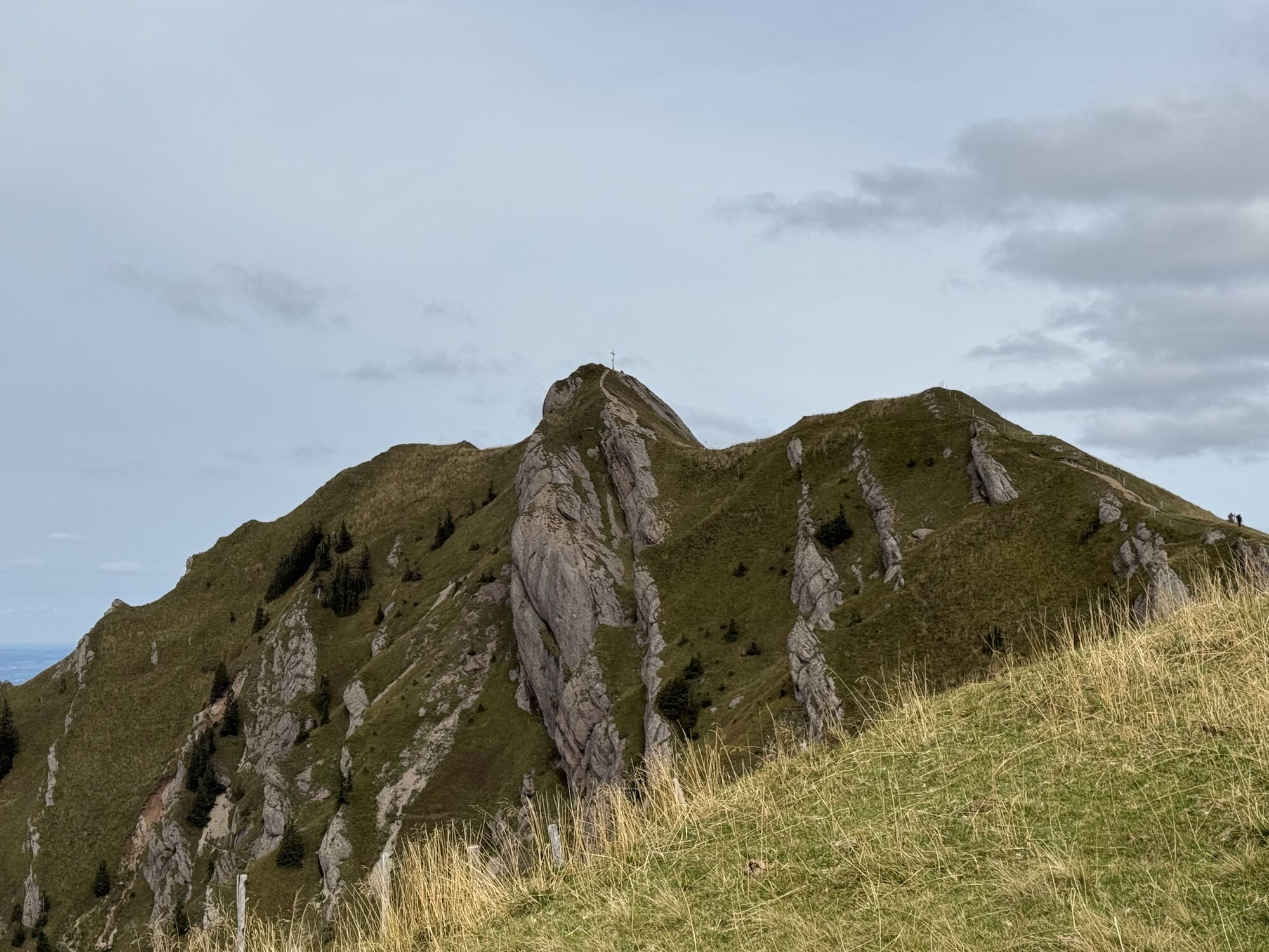
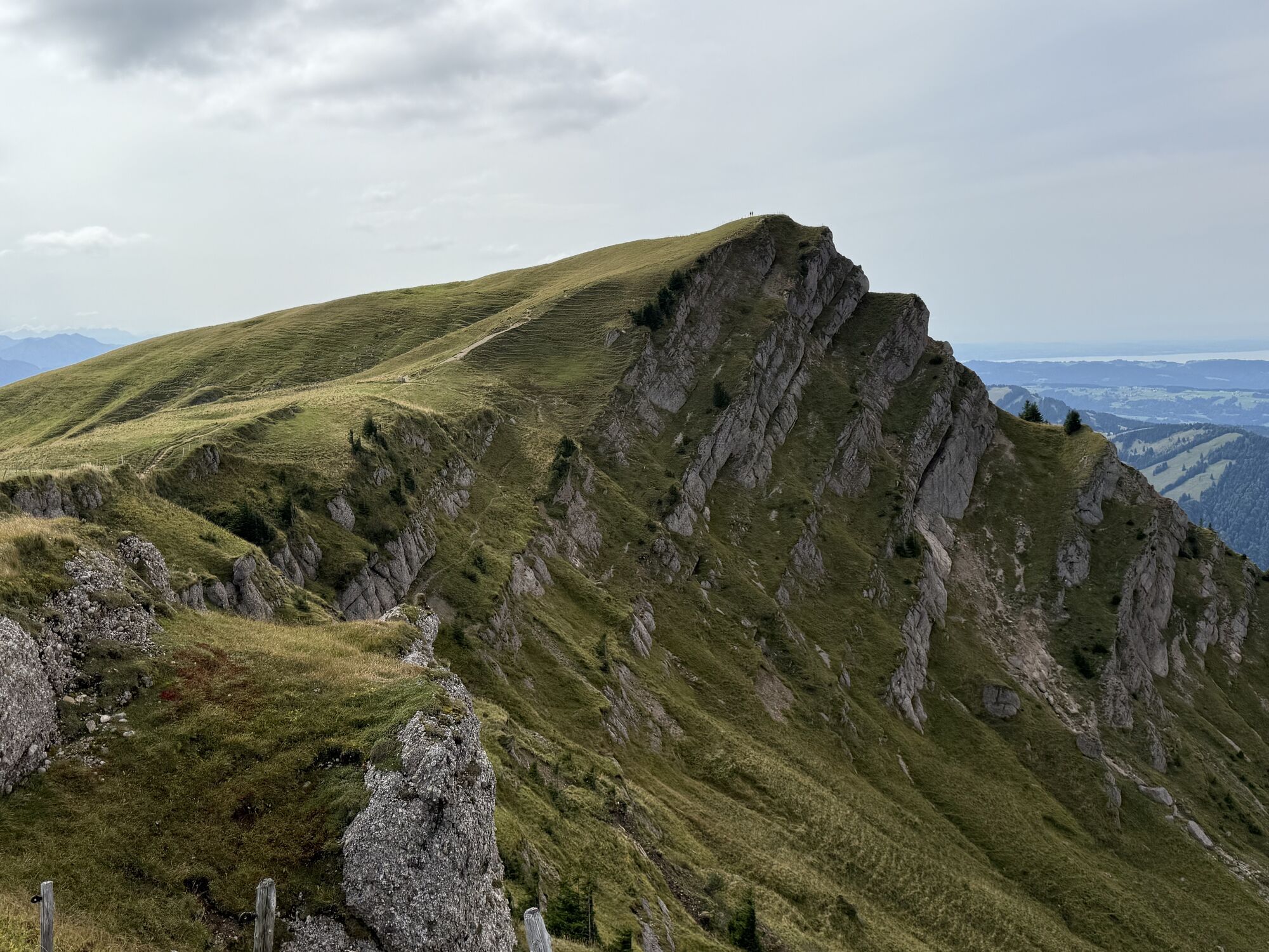


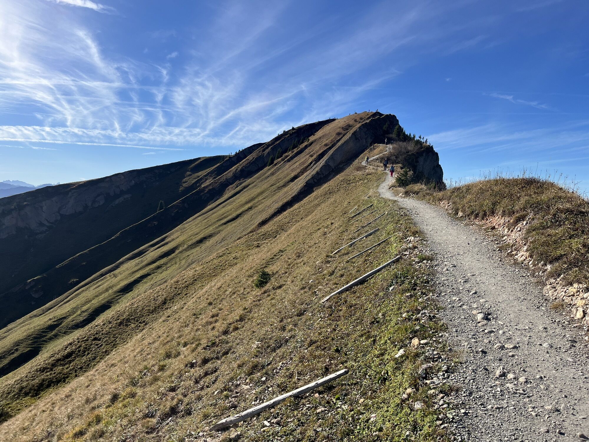
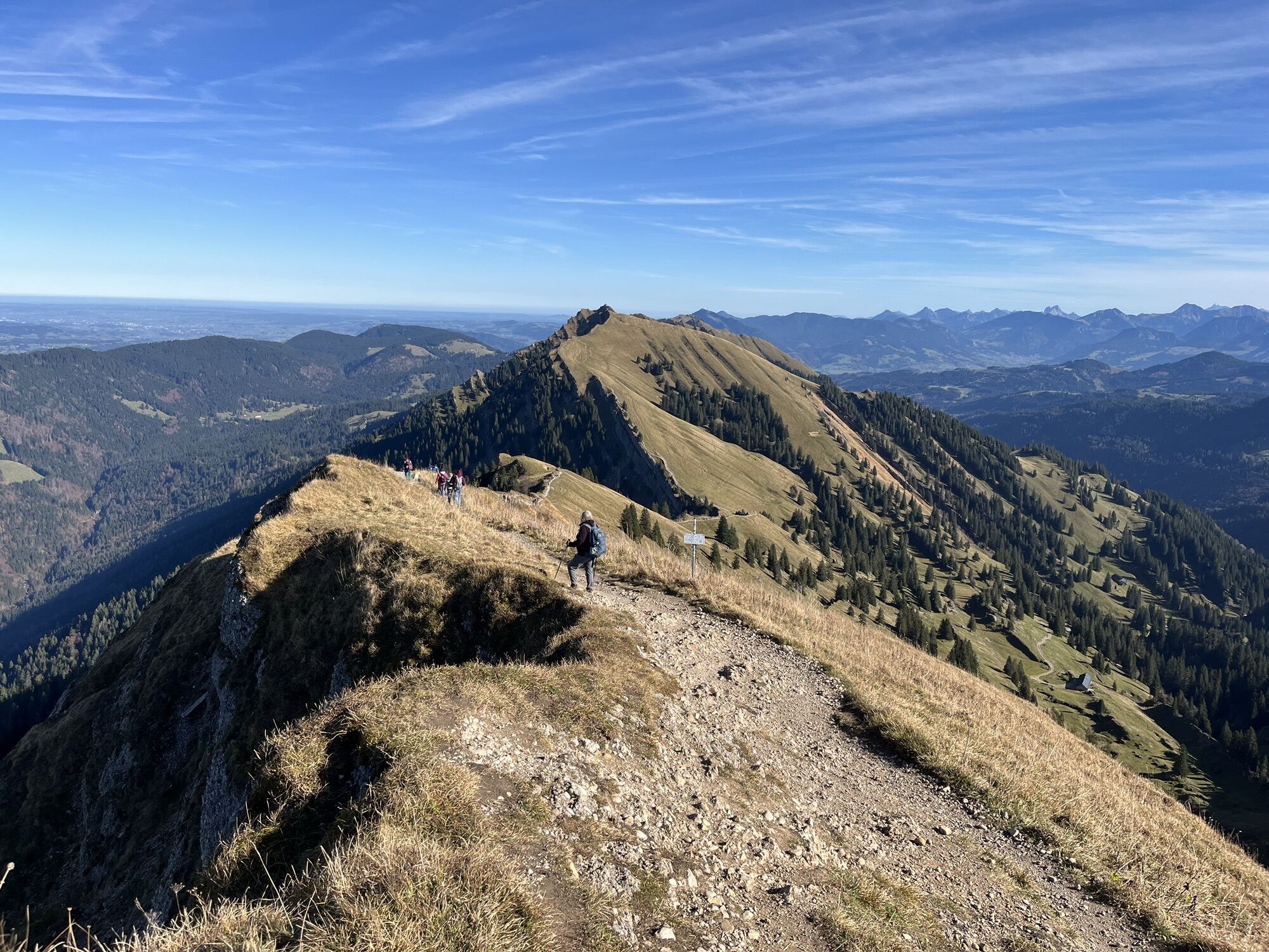
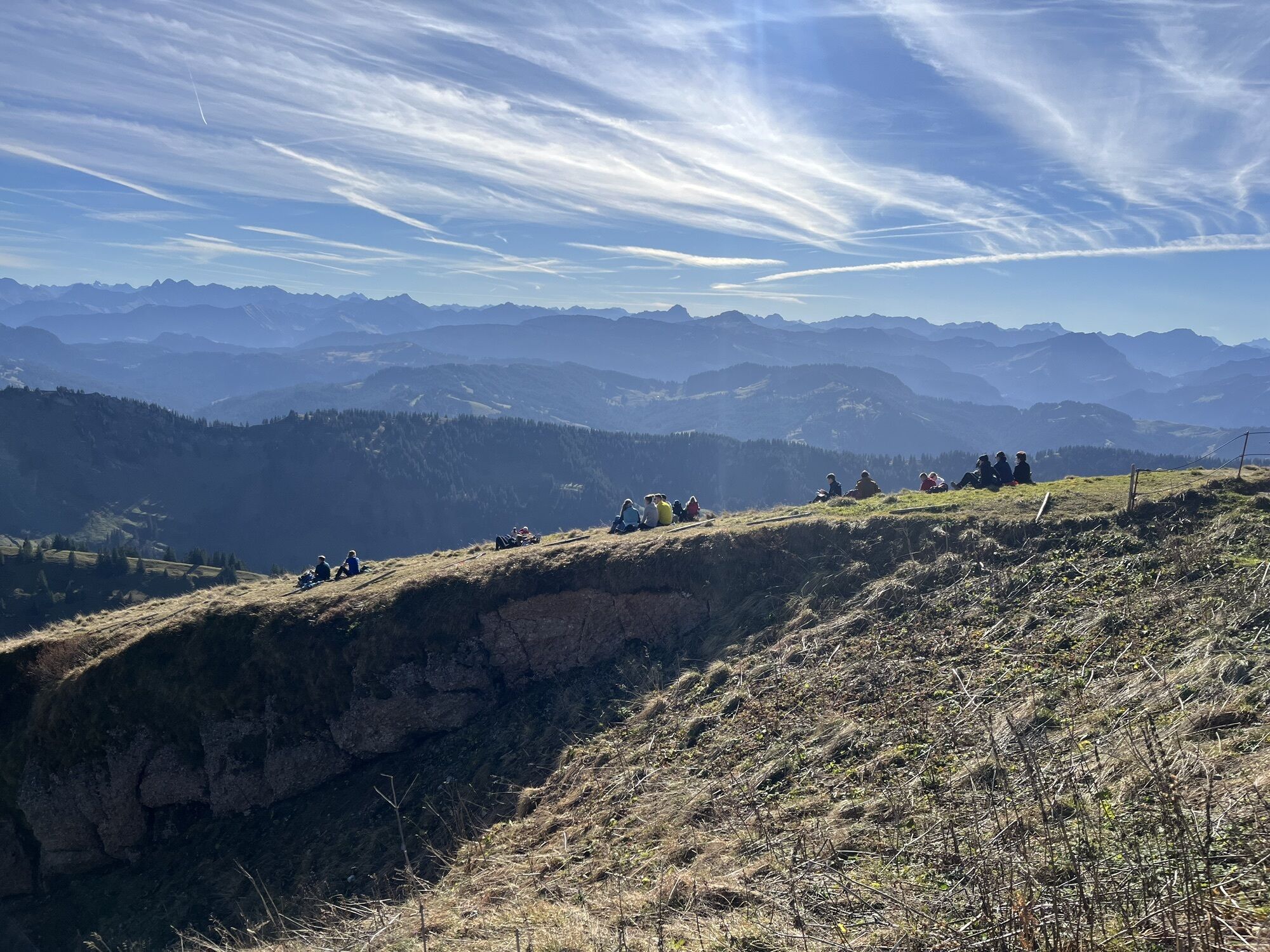
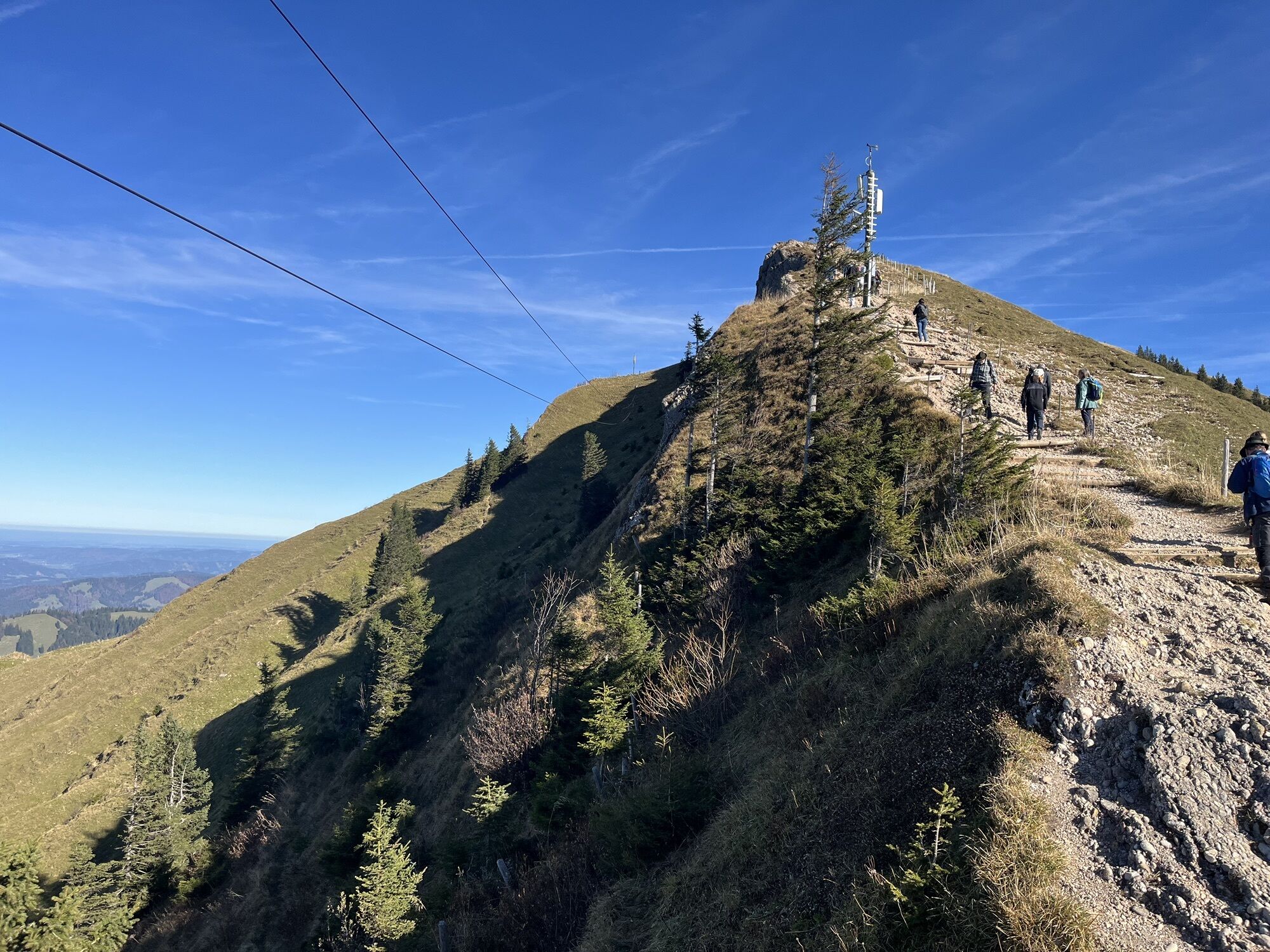
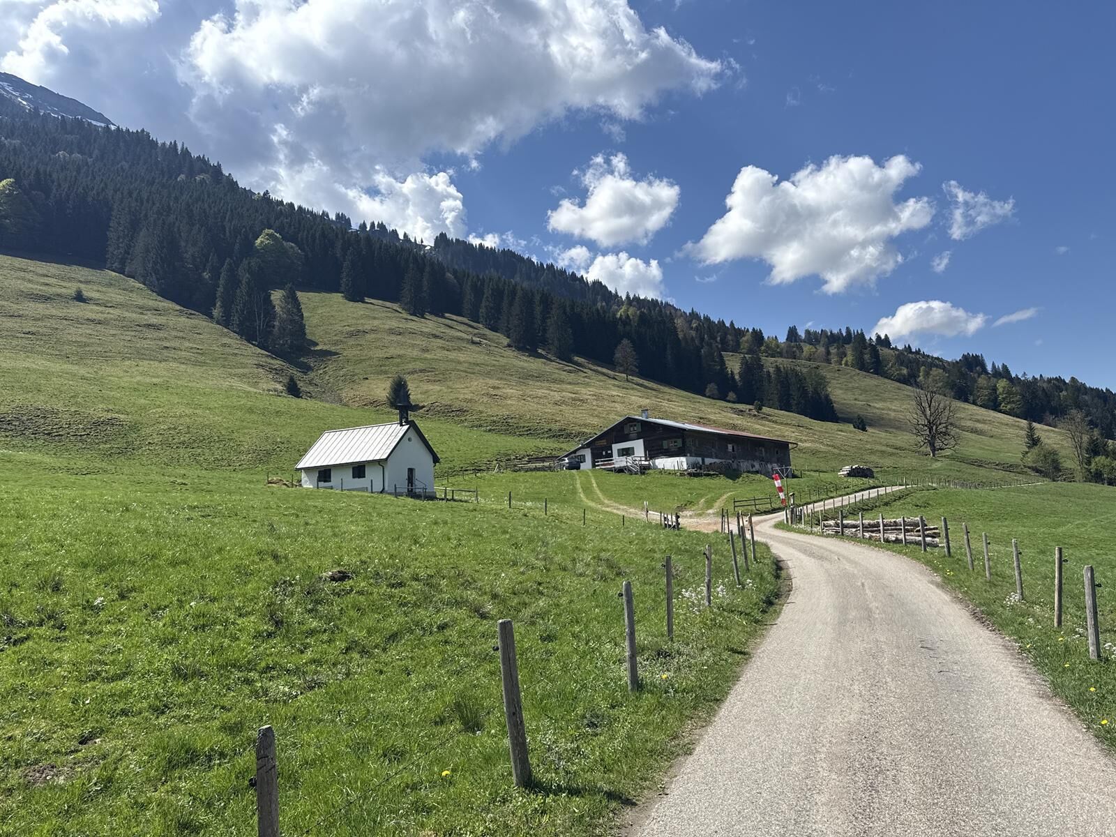


Ascent by cable car. From the Hochgratbahn mountain station, the route initially follows the ridge over the summit of Hochgrat down to the Brunnenauscharte. Further over the Gelchenwanger ridge to the...
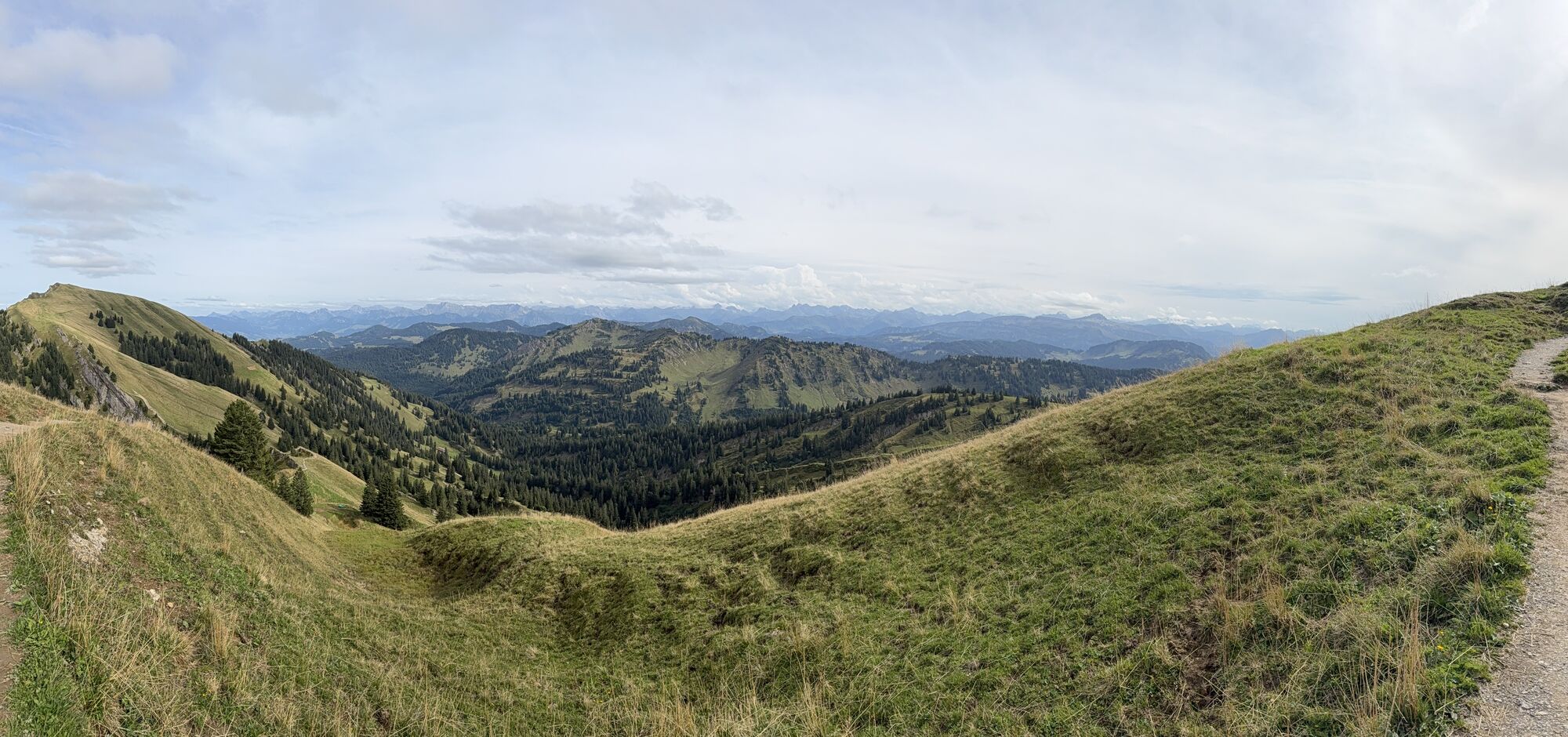
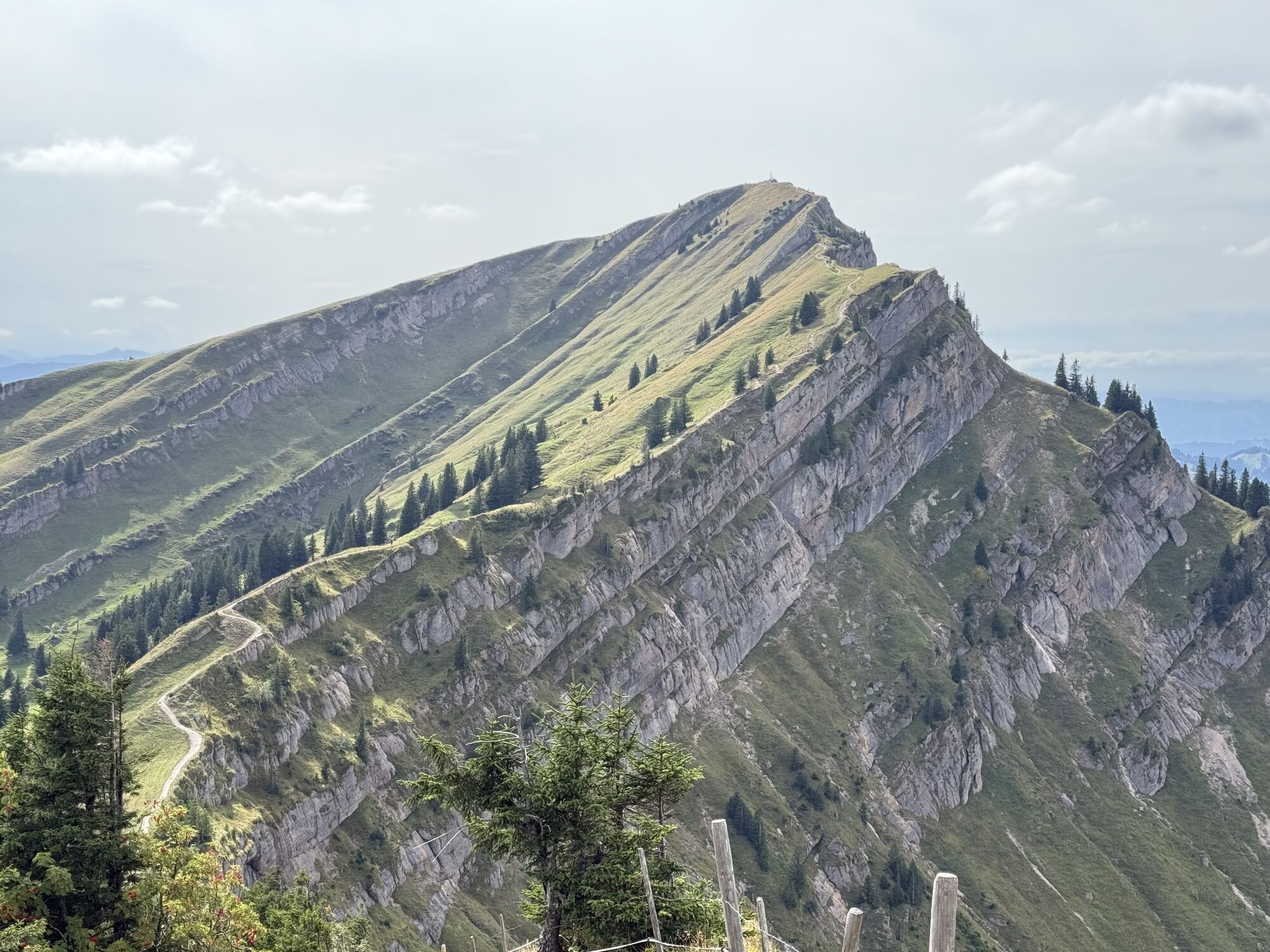
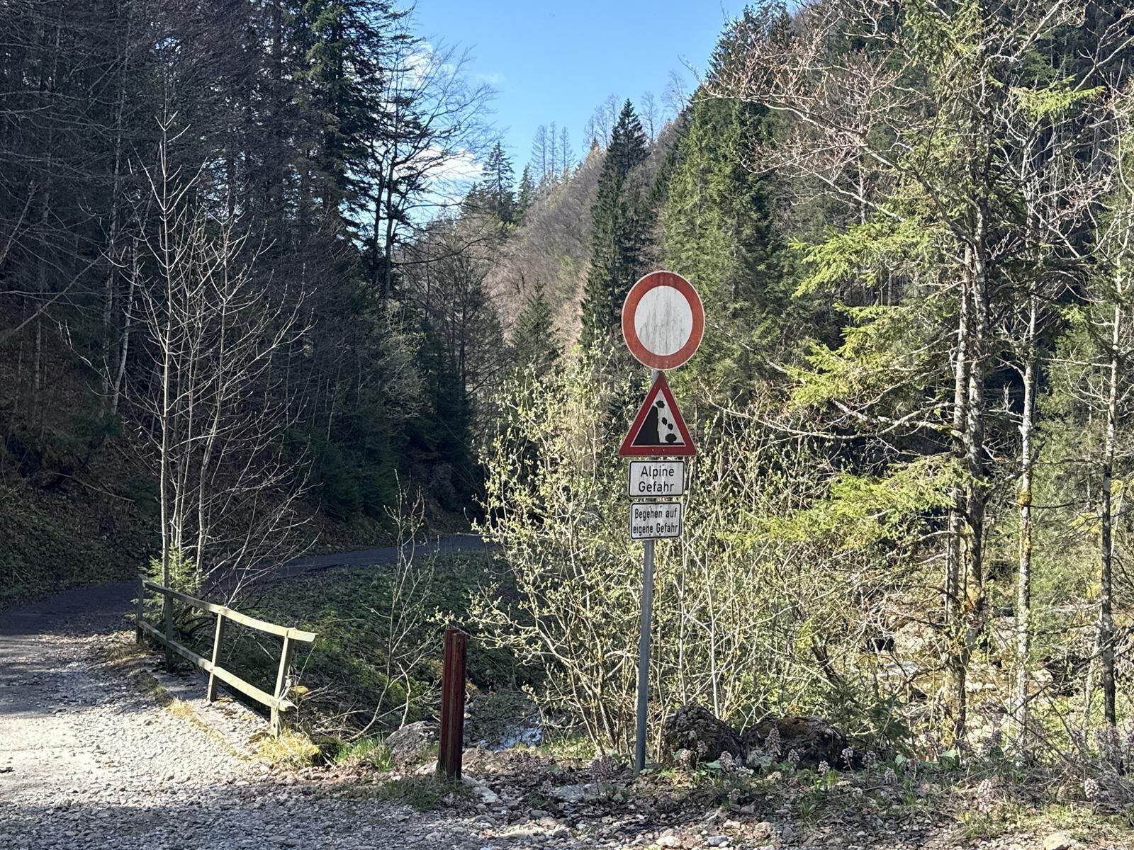
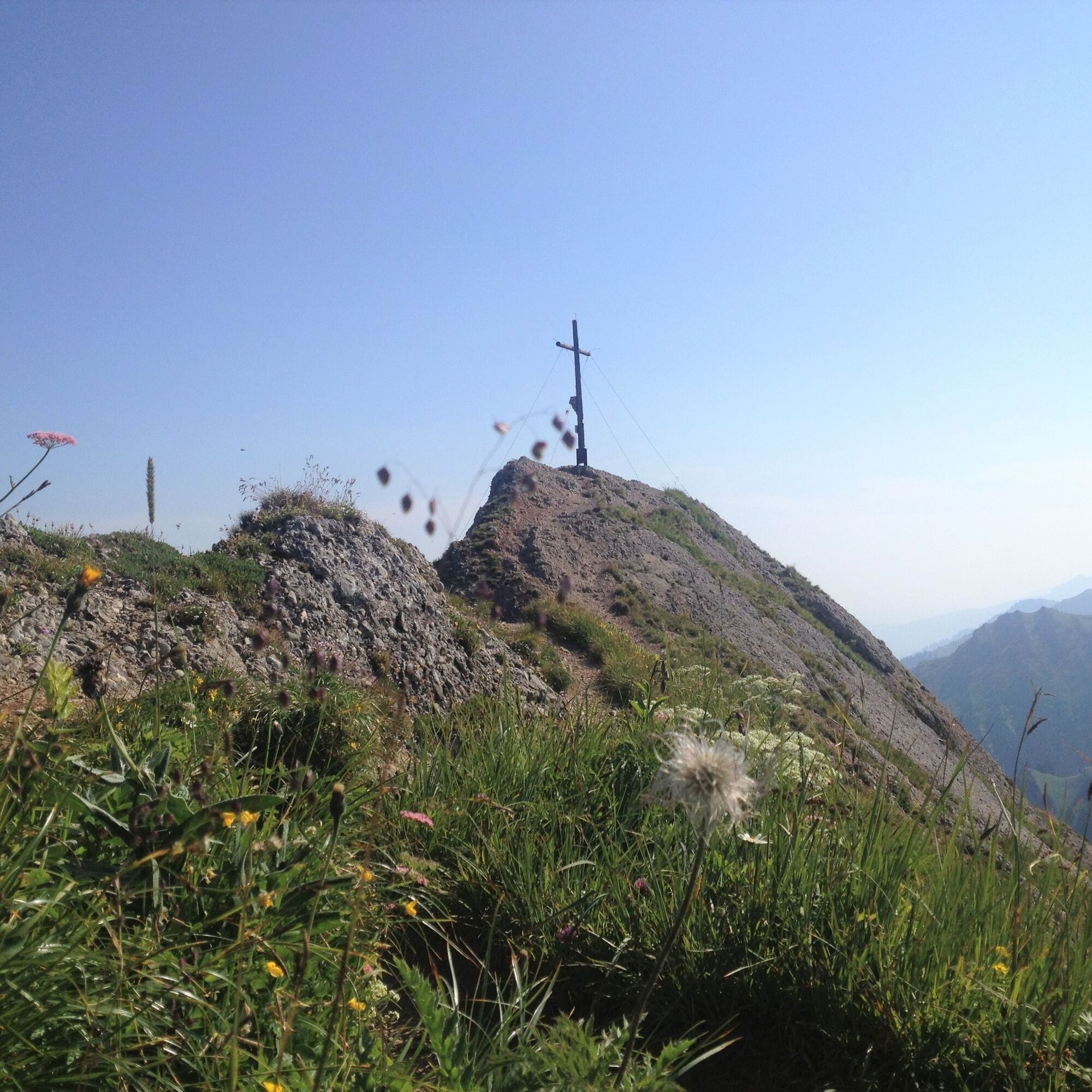
Ascent by cable car. From the Hochgratbahn mountain station, the route initially follows the ridge over the summit of Hochgrat down to the Brunnenauscharte. Further over the Gelchenwanger ridge to the distinctive summit formation of the Rindalphorn. From here you can enjoy fantastic views in all directions. At the Gündlesscharte, we leave the ridge path and descend northwards down to the Ehrenschwanger Valley via the Sennalpe Rindalp. From there back to the Hochgrat valley station.
Variants:
1. Start at the Hochgratbahn valley station and first climb to the mountain station
2. Ascent via the Brunnenau to the ridge and directly further to the Rindalphorn

Hochgratbahn mountain station - Hochgrat - towards Brunnenauscharte - Gelchenwanger ridge - Rindalphorn - Gündlesscharte - Rindalpe - Ehrenschwanger Valley - Hochgratbahn valley station
Da
Da
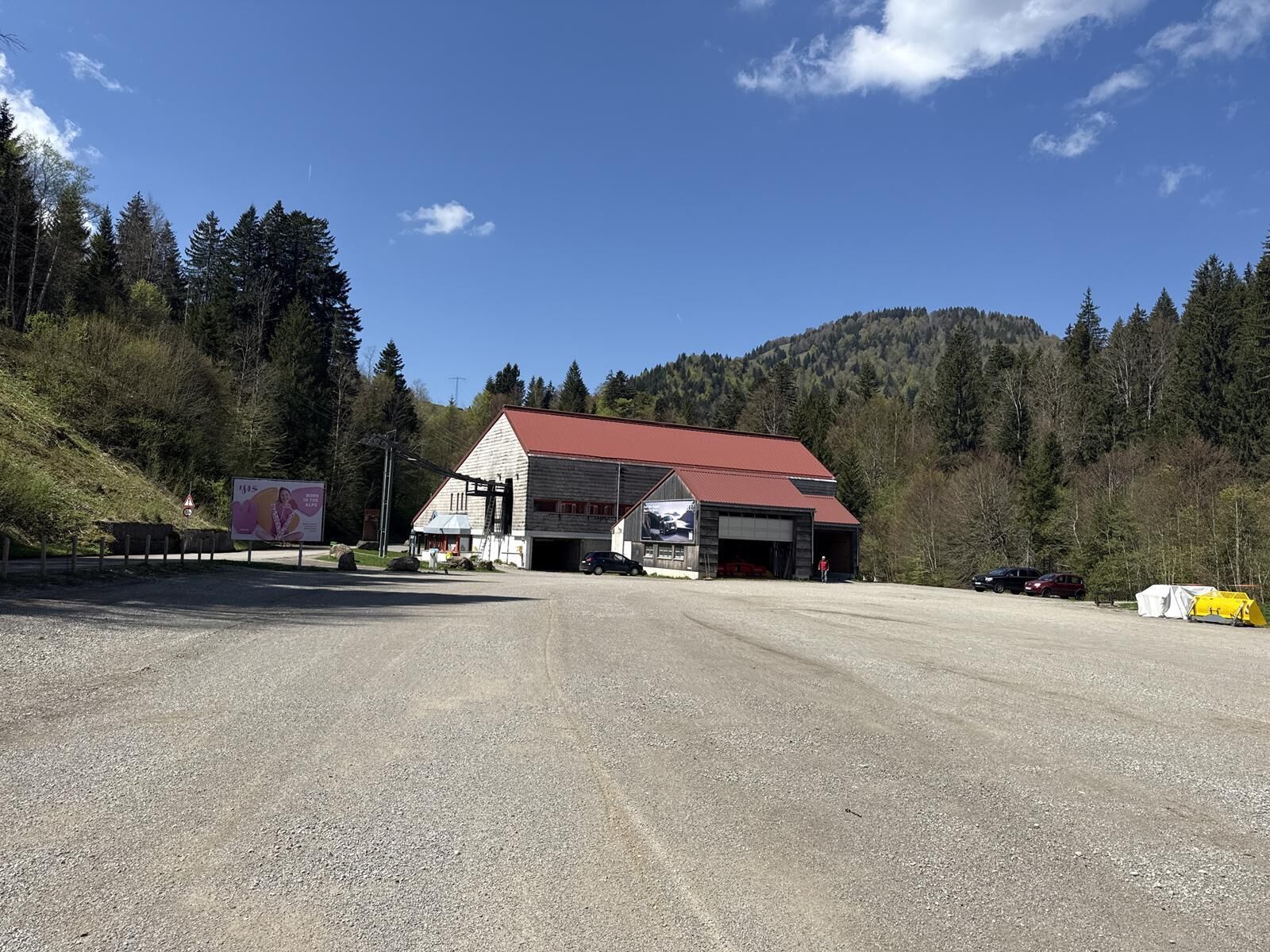
Via the B 308 to Oberstaufen and then via Steibis to the valley station of the Hochgratbahn.
Take the train to Oberstaufen and then the bus (line 95) from Oberstaufen station to the Hochgratbahn.
Travel by bus and train in and around Oberstaufen?
Information, bus timetables, and an overview map at oberstaufen.de/bus-parken
Paid parking spaces at the Hochgratbahn.
Spletne kamere s turneje
Hochgratbahn Bergstation
Gschwendlift 1 Bergstation
Balderschwang - Schelpenbahn
Balderschwang
Fluhexpress Berg
Fluhexpress Berg
Fluhexpress Berg
Fluhexpress Berg
Alpe Hohenschwand
Alpe Birkach
Fluhexpress Bergstation
Hündlebahn Bergstation
Imberghaus
Balderschwang - Siplinger Suites
Alpsee Bergwelt
Alpsee Bergwelt
Alpsee Bergwelt - Bärenfalle
Alpe Birkach - Nagelfluh
Priljubljeni izleti v okolici
- 4,5
Rindalphorn und Hochgrat
srednjaPohodništvo15,6 km - 4,5
Hittisau | Wasserwanderweg
svetlobaTematska pot7 km - 4,9
Hittisau | Über Brücken und durch die Schlucht
svetlobaPohodništvo7,12 km - 4,0
Hochgrat
težkoPohodništvo12,2 km - 5,0
HörnerPanoramaTour
svetlobaPohodništvo5,34 km - 5,0
Hochgrat round via the Brunnenau
težkoPohodništvo12,2 km - 4,0
Nagelfluh-Überschreitung
težkoPohodništvo22,7 km - 4,7
Hittisau Wasserwanderweg (die richtige Reihenfolge)
svetlobaPohodništvo7,06 km - 4,6
Steibis - Buchenegger Waterfalls
srednjaPohodništvo6,47 km Hochgrat
srednjaPohodništvo15,0 km
Pohodništvo in sledenje


Ne zamudite ponudb in navdiha za naslednje počitnice
Vaš e-poštni naslov je bil dodan na poštni seznam.