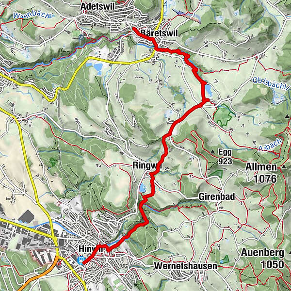
Hinwil – Bäretswil: «Kulturhistorisches Zürcher Oberland»

Pohodništvo


- Kratek opis
-
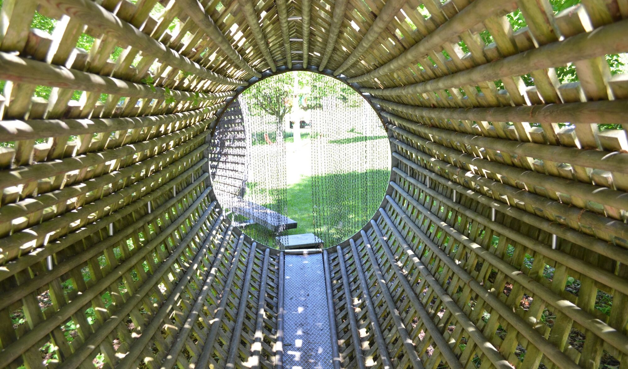
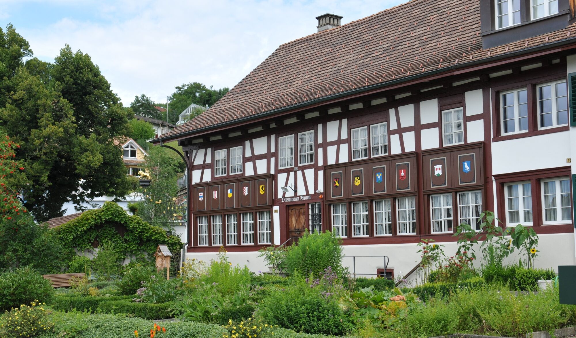
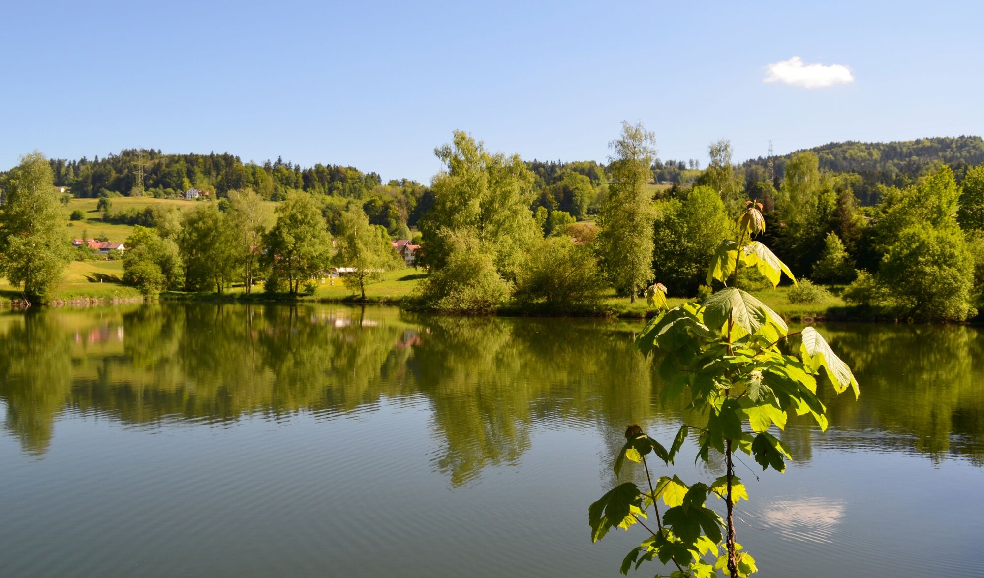
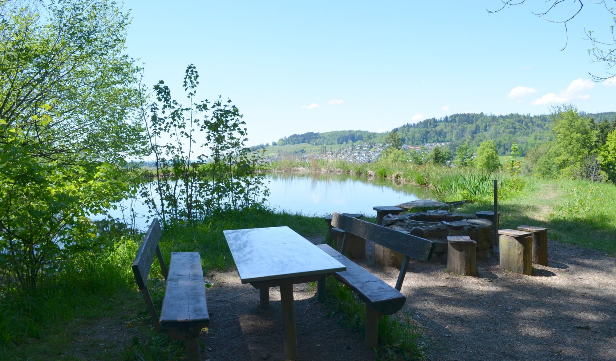
Eine Wanderung durch wilde Tobel und entlang alter Kulturgüter.
- Težavnost
-
enostavno
- Ocenjevanje
-
- Pot
-
Hinwil0,3 kmChrischona-Gemeinde0,3 kmRingwilerbach-Wasserfall1,9 kmRingwil2,6 kmNübruch3,1 kmTisenwaltsberg3,7 kmHaldengut5,6 kmRastplatz Hulliger5,9 kmOberdorf6,4 kmBäretswil (705 m)6,6 km
- Najboljša sezona
-
janfebmaraprmajjunjulavgsepoktnovdec
- Najvišja točka
- 815 m
- Destinacija
-
Bäretswil, Oberdorf
- Profil nadmorske višine
-
 © outdooractive.com
-

-
AvtorTurneja Hinwil – Bäretswil: «Kulturhistorisches Zürcher Oberland» uporablja outdooractive.com na spletni strani ..
GPS Downloads


Splošne informacije
Kulturni/Zgodovinski
Obetavno
Več izletov v regijah
-
Schwyz
1742
-
Zürcher Oberland
596
-
Bäretswil
209