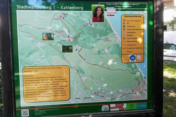
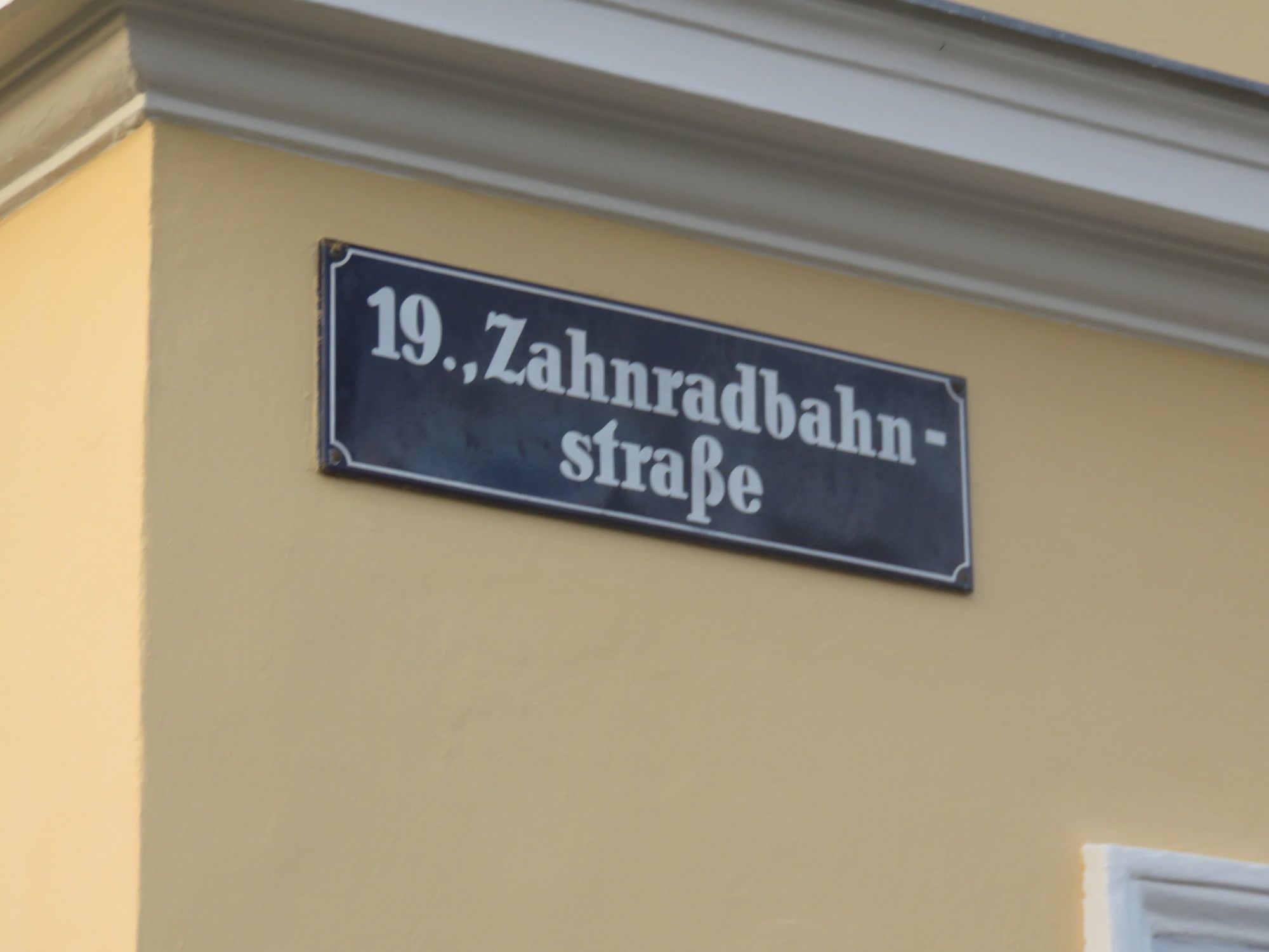
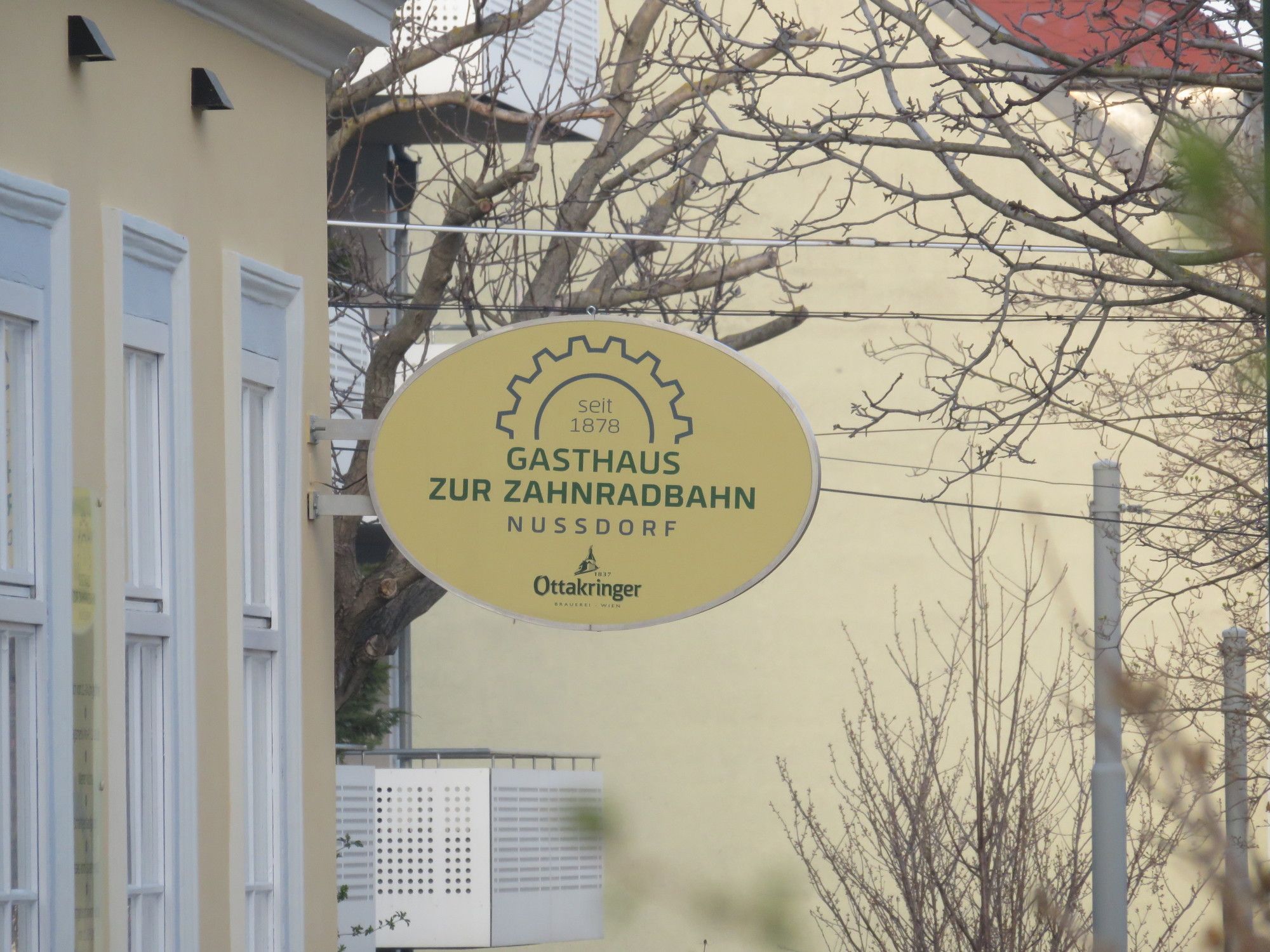
Auf den Spuren der Zahnradbahn auf den Kahlenberg

Pohodništvo


Datumi turnej
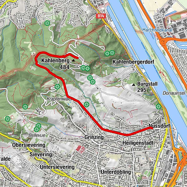
5,52km
179
- 470m
249hm
4hm
01:30h
- Kratek opis
-
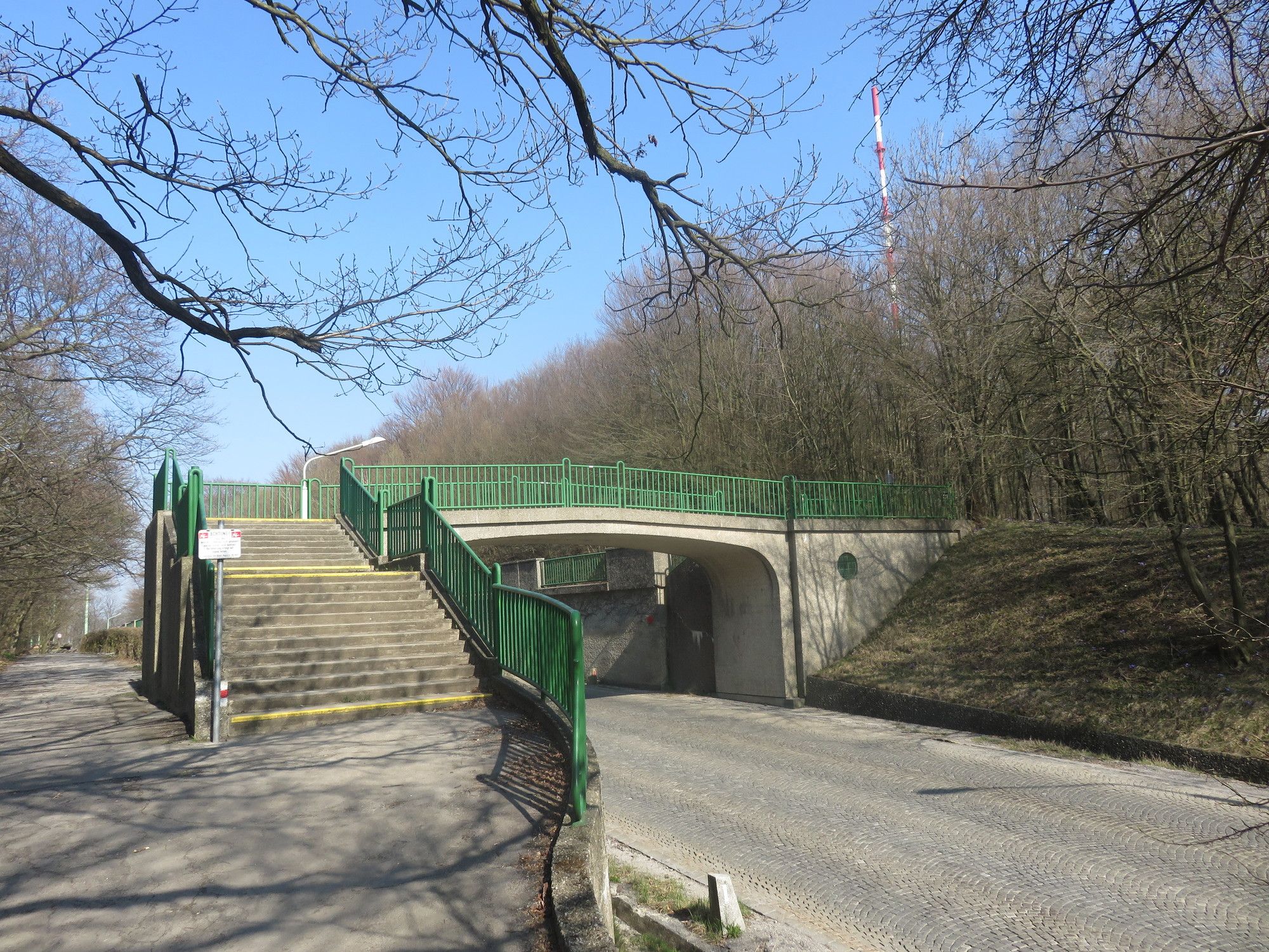
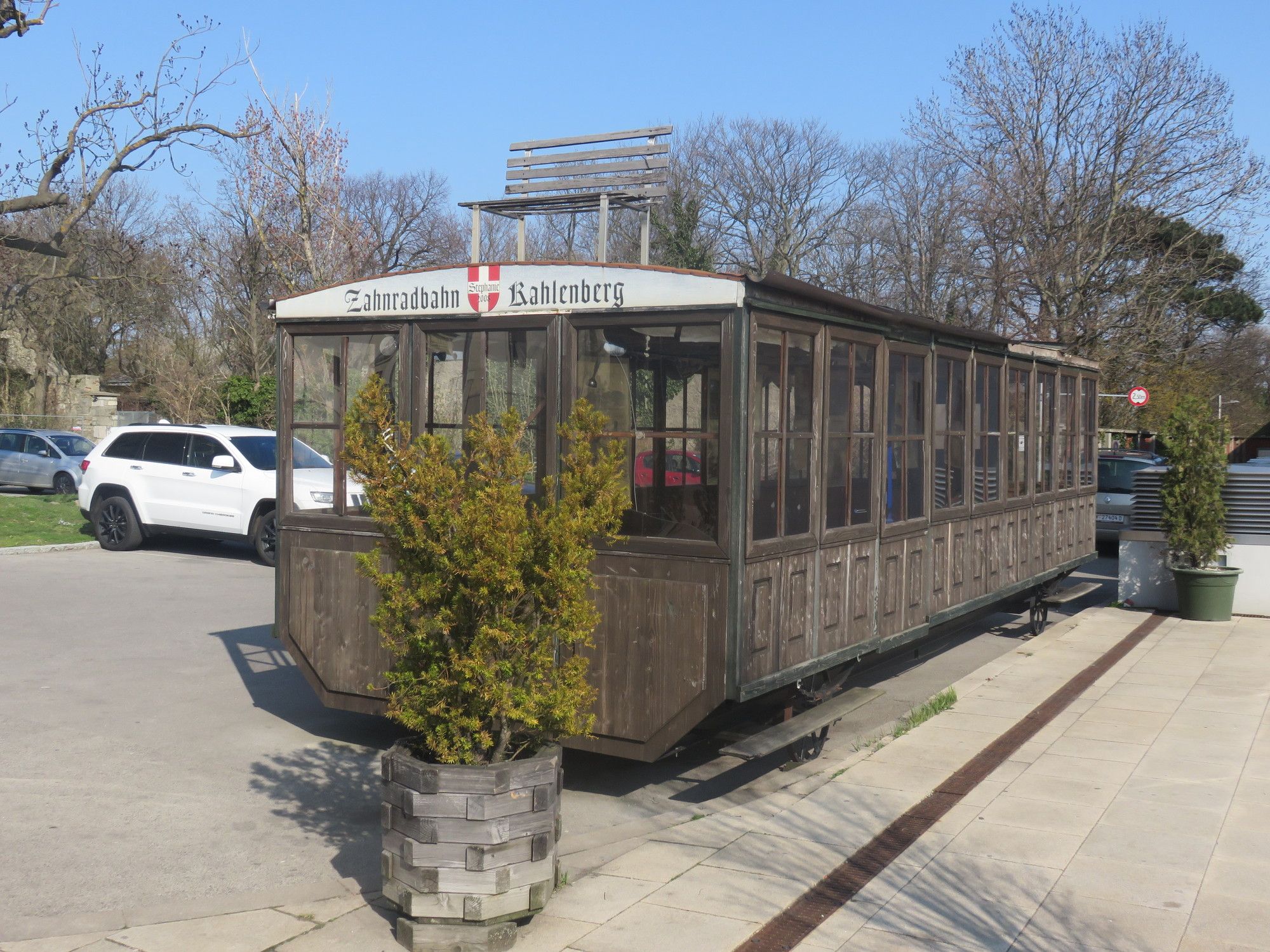
Im Jahr 1874 wurde die Zahnradbahn auf den Kahlenberg eröffnet. 1925 wurde sie abgebaut. Wenn man genau schaut, findet man auch heute noch Spuren dieser Bahn.
- Težavnost
-
enostavno
- Ocenjevanje
-
- Izhodiščna točka
-
Linie D Straßenbahn-Endhaltestelle Nussdorf
- Pot
-
NussdorfVienna (542 m)0,6 kmKahlenberg (484 m)5,4 kmJosefsdorf5,5 km
- Najboljša sezona
-
janfebmaraprmajjunjulavgsepoktnovdec
- Najvišja točka
- Kahlenberg (470 m)
- Destinacija
-
Kahlenberg
- Počitek/Umik
-
Heurige in Nussdorf, Cafe am Kahlenberg
GPS Downloads


Razmere na poti
Asfalt
(20)
Gramoz
(40)
Meadow
Forest
(40)
Rock
Razkrita stran
Več izletov v regijah
-
Wienerwald
4215
-
Wien und Umgebung
2480
-
Klosterneuburg
1038