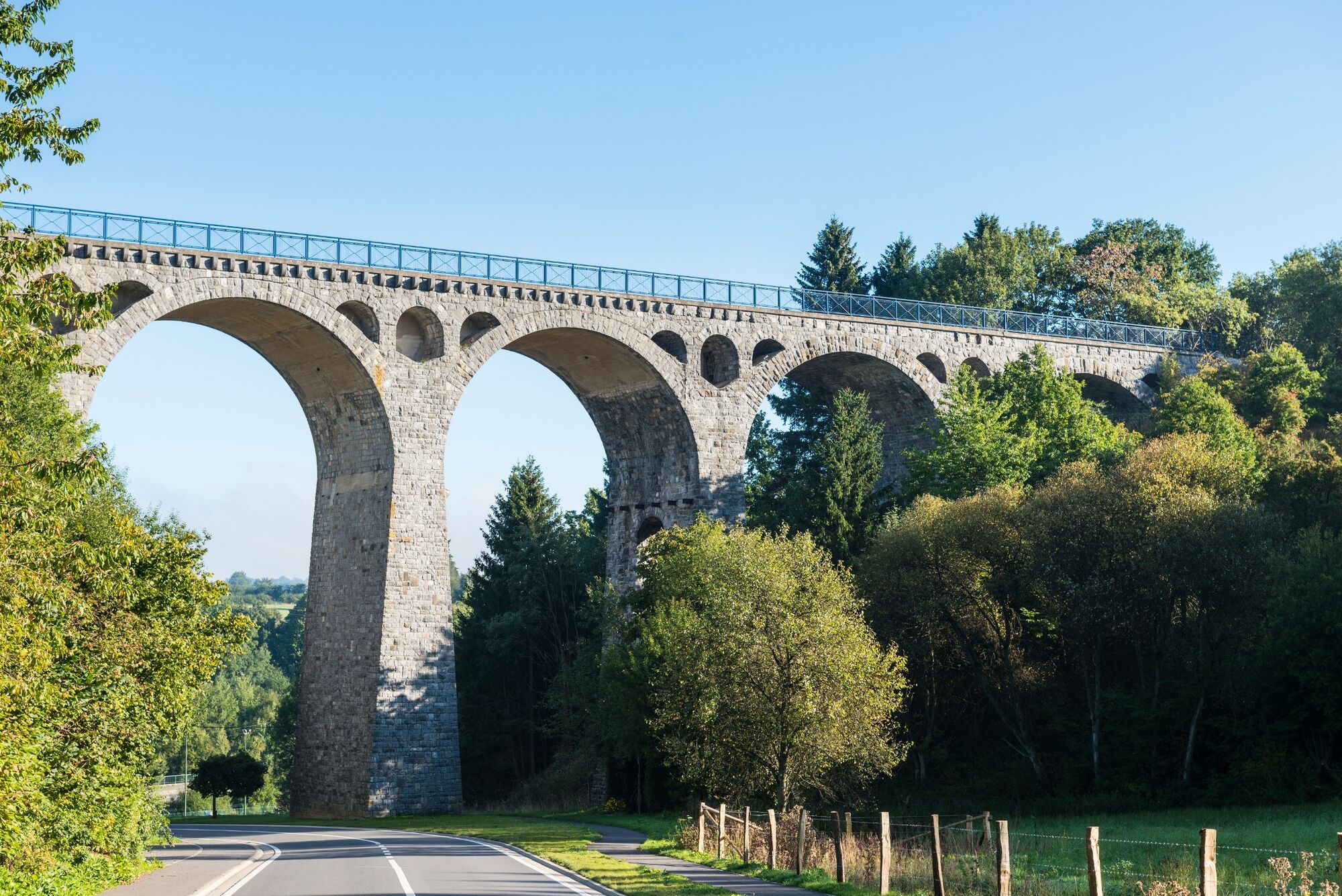
© Tourismusagentur Ostbelgien - Dominik Ketz

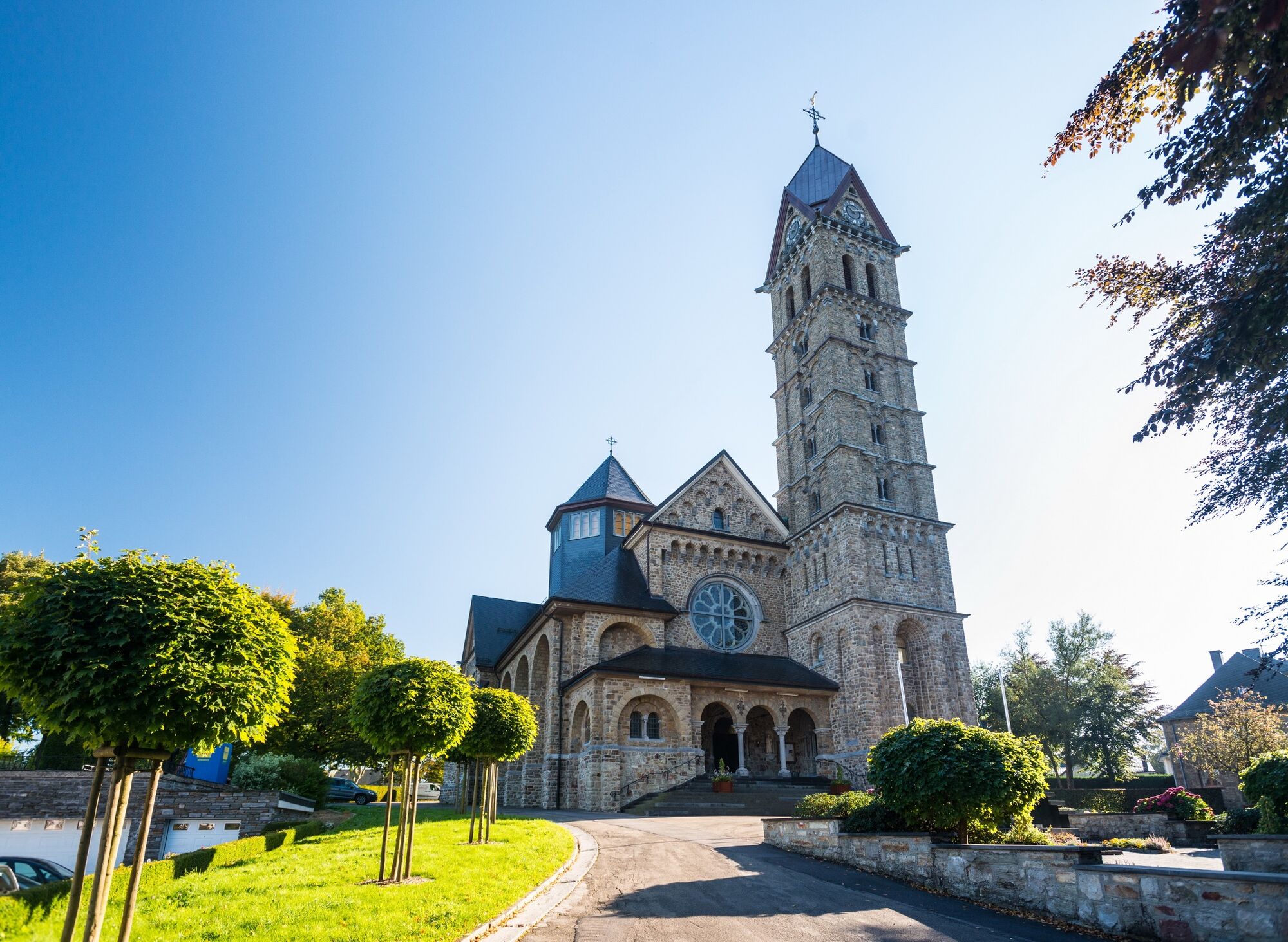
© Tourismusagentur Ostbelgien - Dominik Ketz

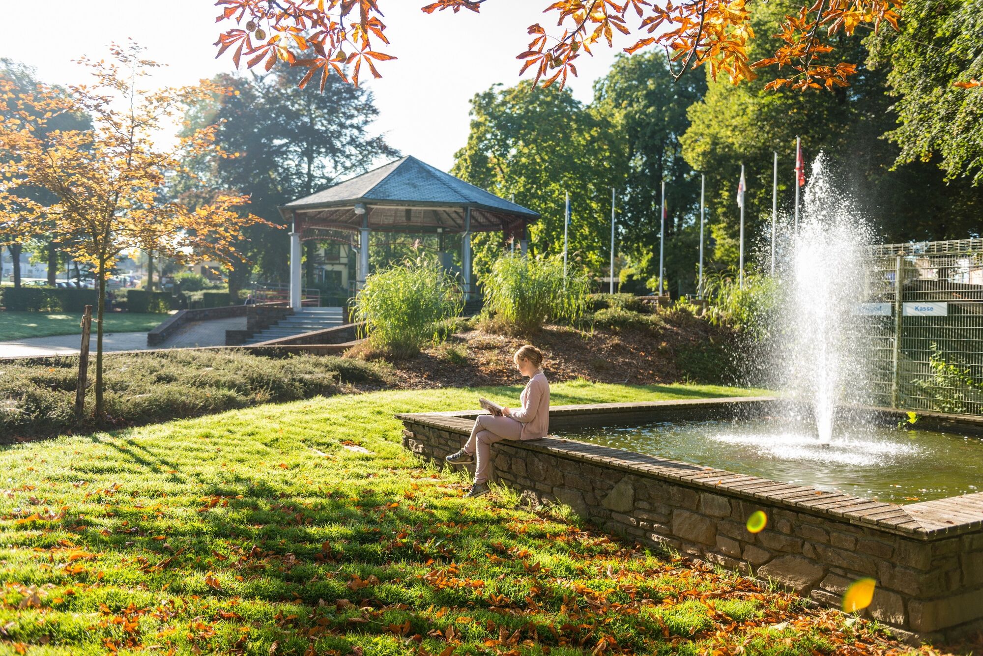
© Tourismusagentur Ostbelgien - Dominik Ketz

© Tourismusagentur Ostbelgien - Dominik Ketz

© Tourismusagentur Ostbelgien - Markus Balkow

© Tourismusagentur Ostbelgien - Dominik Ketz

© Tourismusagentur Ostbelgien - Dominik Ketz

© Tourismusagentur Ostbelgien - Guy Raskin

© Tourismusagentur Ostbelgien - ostbelgien.eu

© Tourismusagentur Ostbelgien - Guy Raskin

- Kratek opis
-
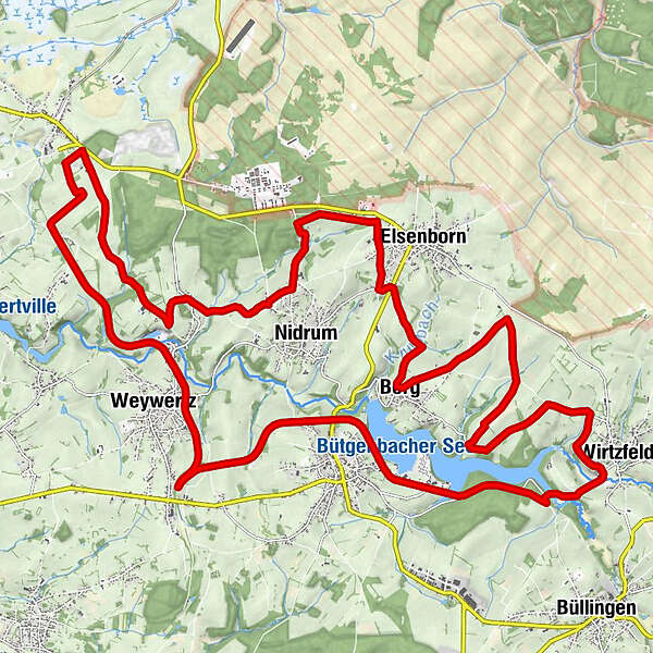
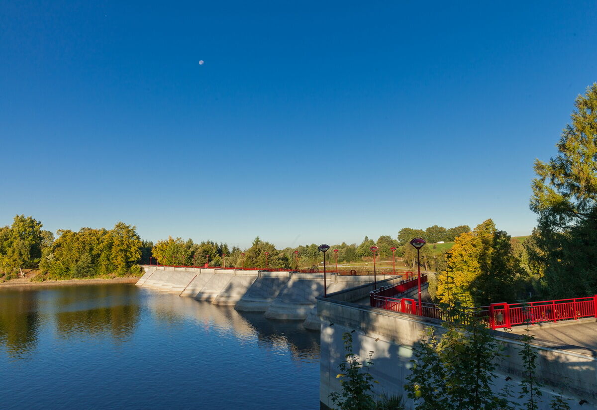
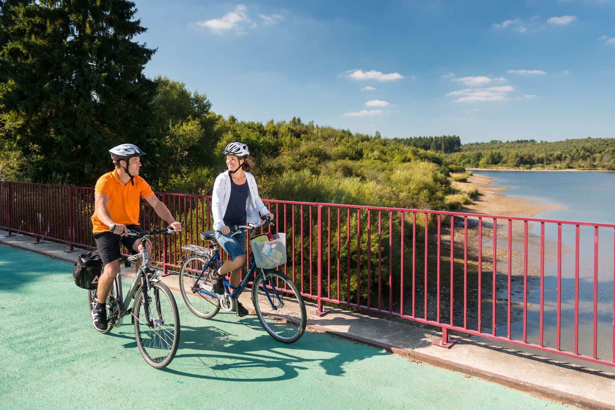
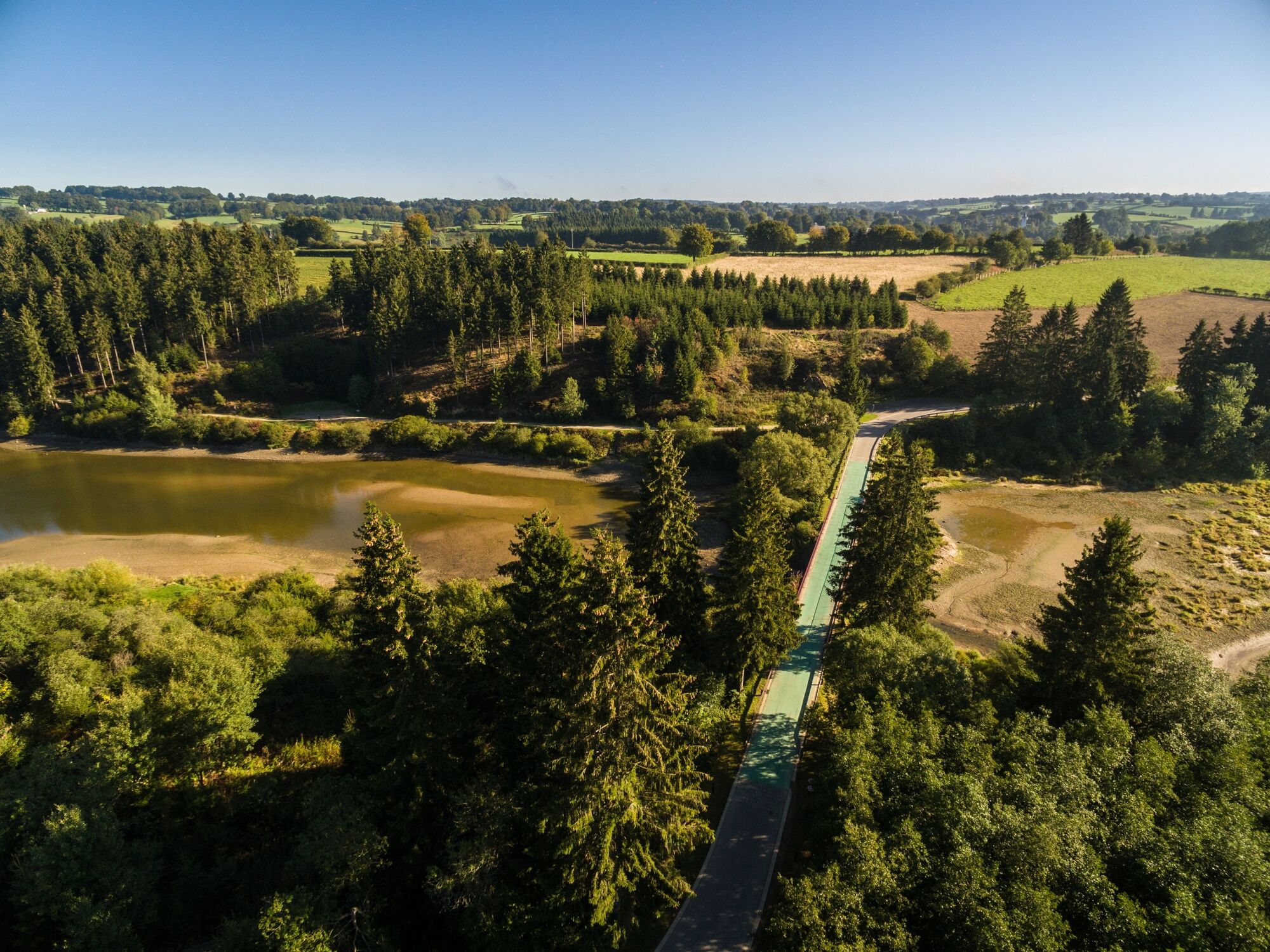
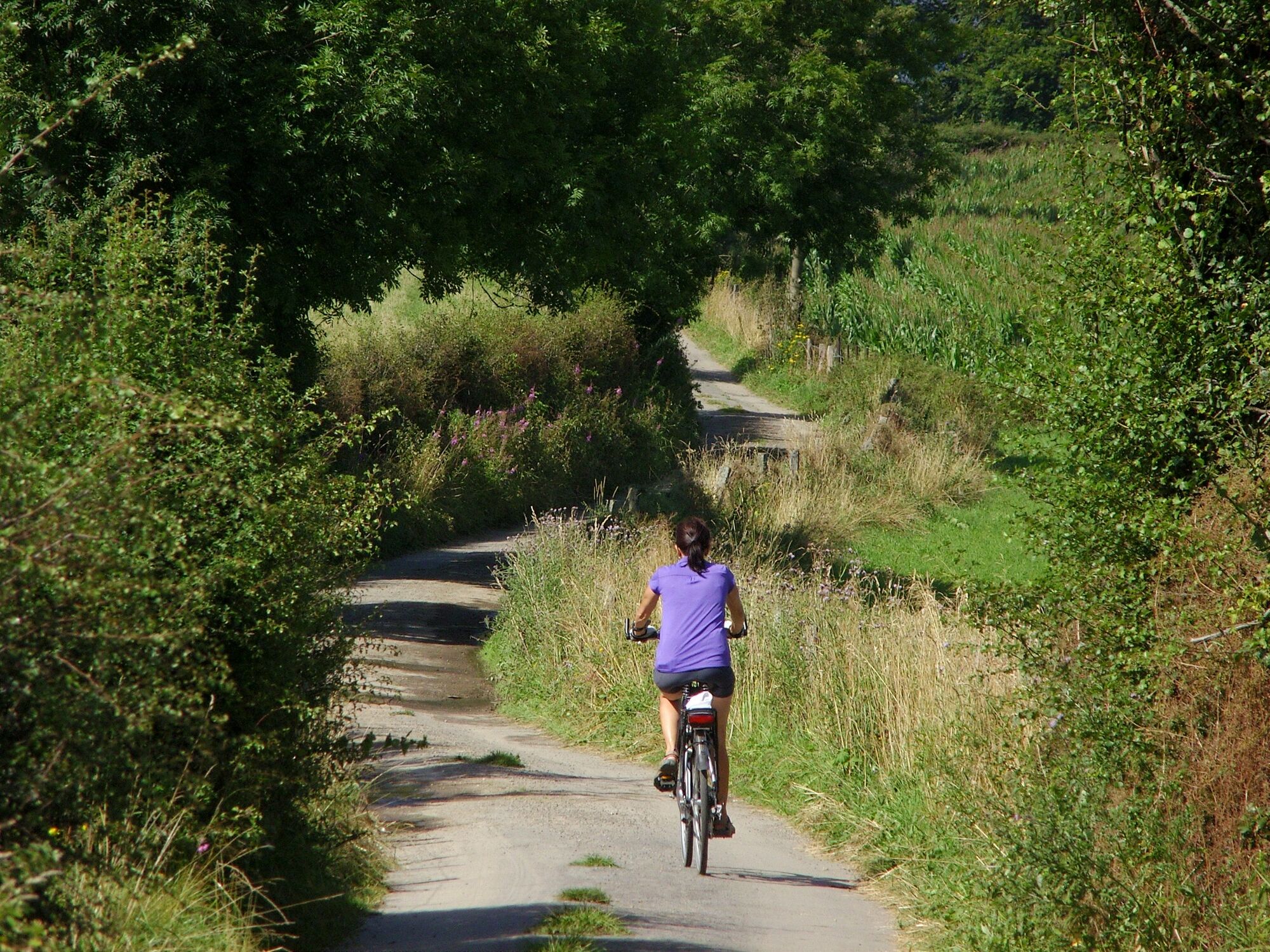
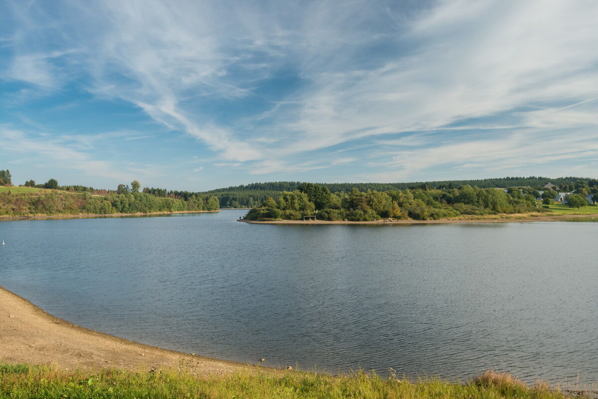
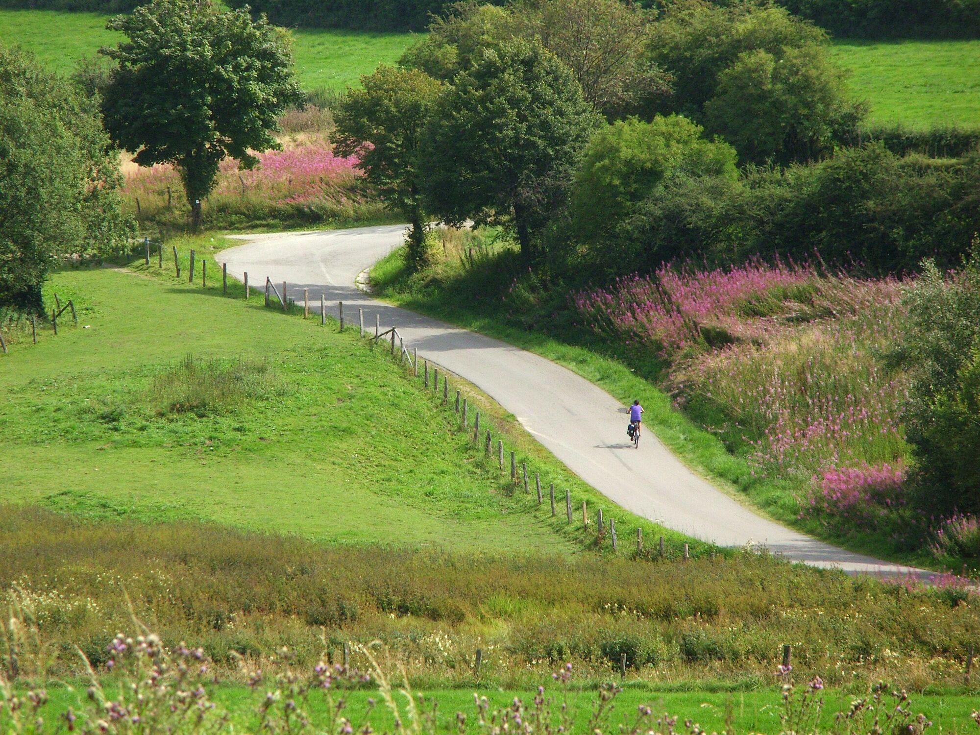
Taking the Ravel L45a, we head towards Weywertz to the Vennbahn, which leads us to a landscape of fields and meadows further to the north. Following the curve of the path, past Nidrum and Elsenborn, we catch sight of the lake in Berg. We reach Wirtzfeld along deserted paths. There, the journey back to Bütgenbach starts.
- Težavnost
-
srednja
- Ocenjevanje
-
- Pot
-
Bütgenbach0,2 kmWévercé5,0 kmNoirthier8,6 kmBerg21,8 kmWirtzfeld29,2 kmBütgenbach33,3 km
- Najboljša sezona
-
janfebmaraprmajjunjulavgsepoktnovdec
- Najvišja točka
- 629 m
- Destinacija
-
Bütgenbach, at the former railway station, at the end of the Seestrasse in Bütgenbach
- Profil nadmorske višine
-
 © outdooractive.com

- Avtor
-
Turneja Ovelo - Around Bütgenbach Lake uporablja outdooractive.com na spletni strani ..
GPS Downloads


Splošne informacije
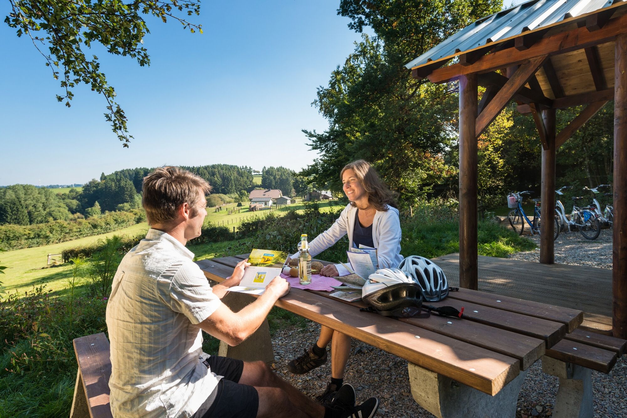
Postanek za osvežitev
Obetavno
Več izletov v regijah
-
Eifel/ Rheinland-Pfalz
82
-
Hohes Venn
36
-
Bütgenbach
12