© Unbekannt - Zermatt Tourismus
© © matterhorn.ultraks.com /C. Bussat - Zermatt Tourismus
© Fabienne Schaller - Zermatt Tourismus
© Unbekannt - Zermatt Tourismus
© Matterhorn Ultraks - Zermatt Tourismus


- Kratek opis
-
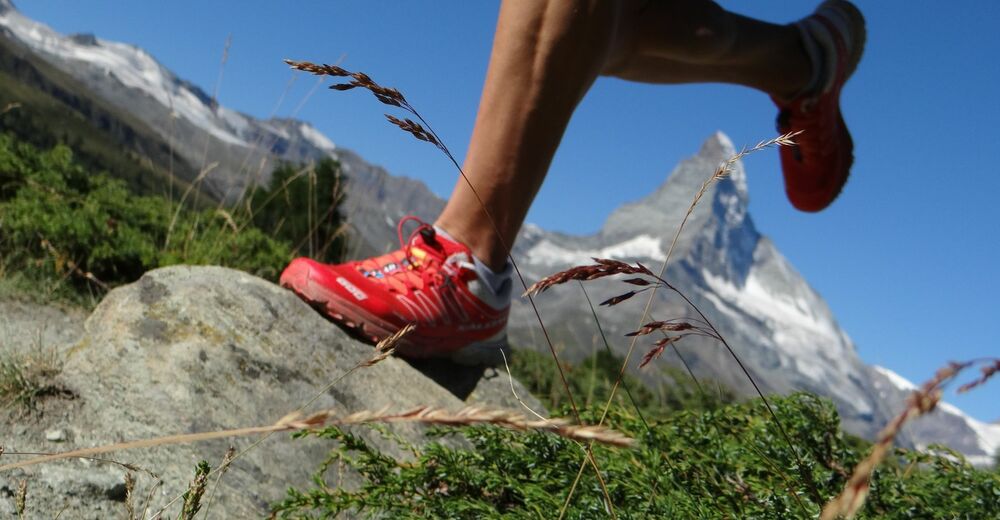
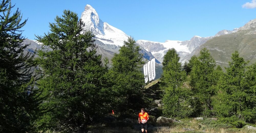
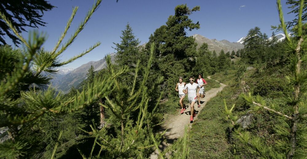
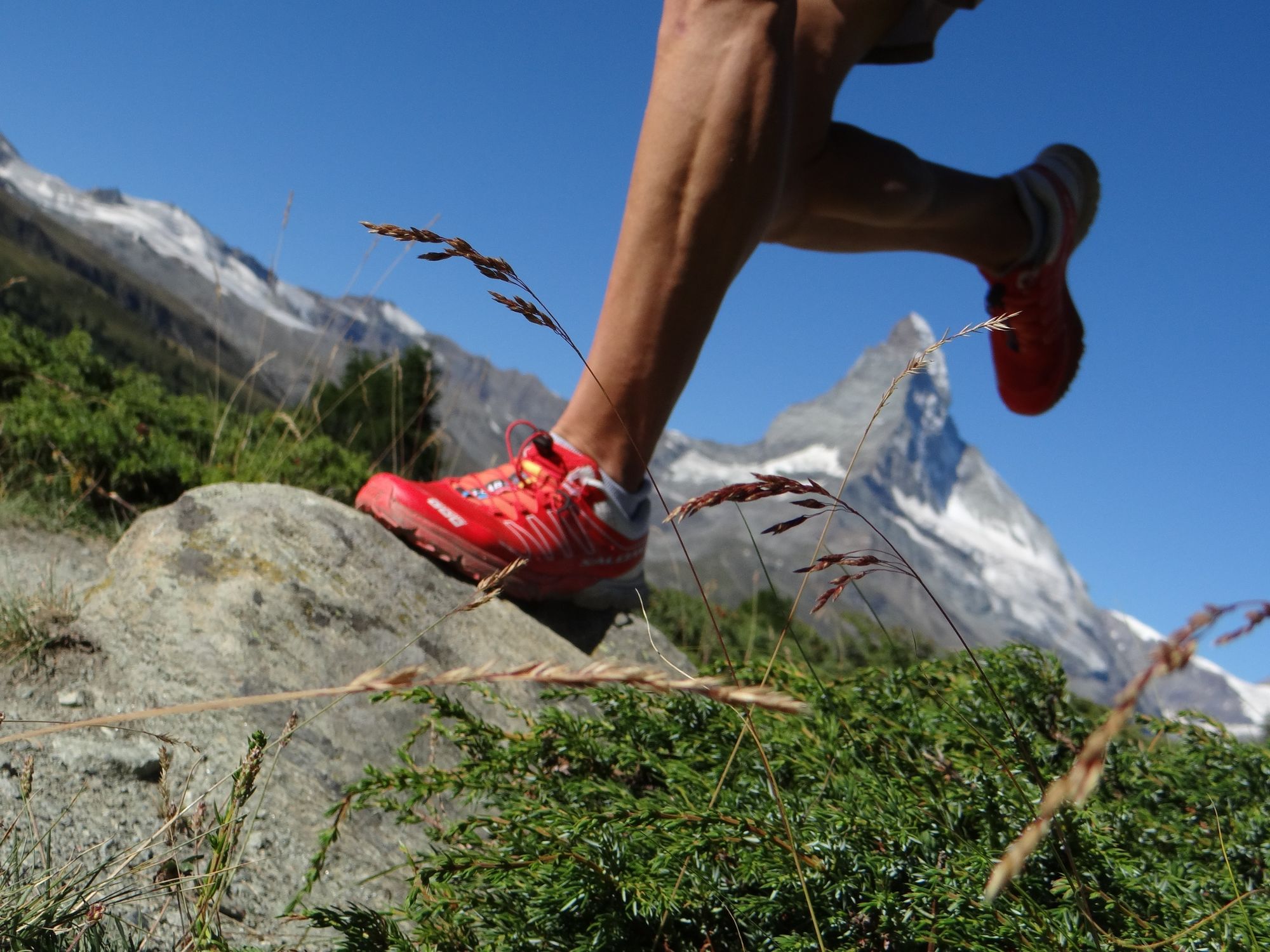
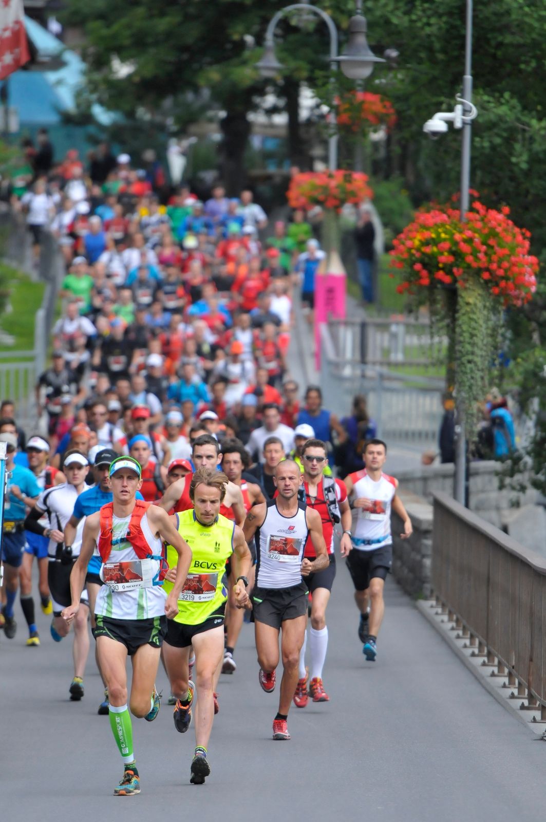
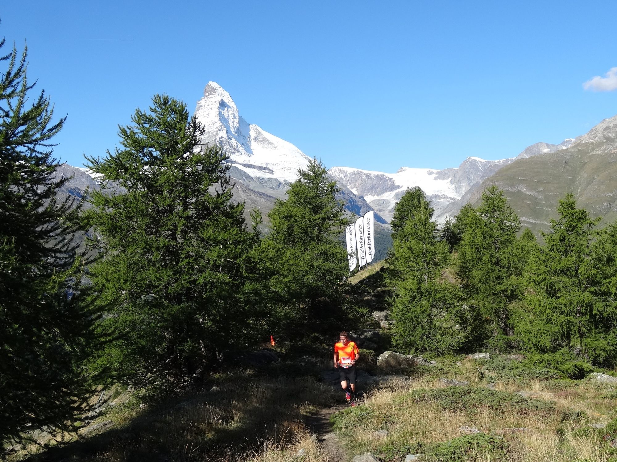
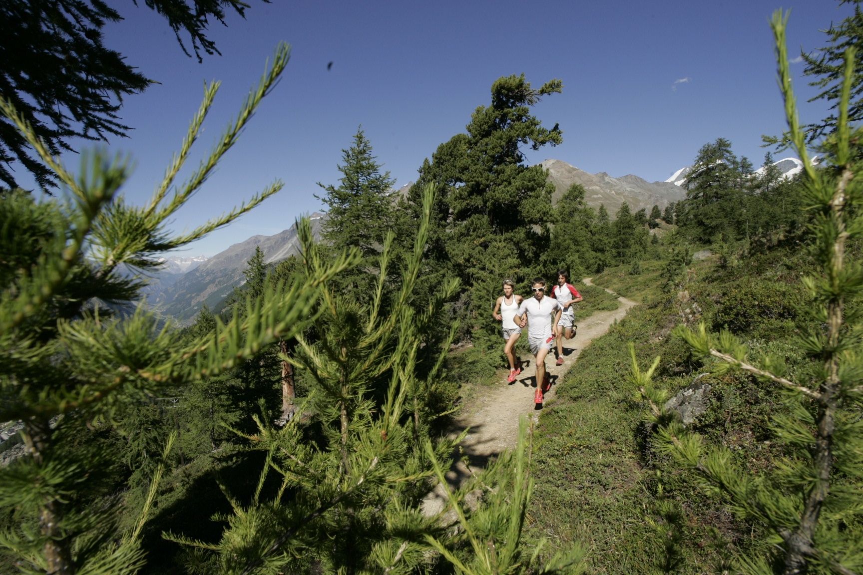
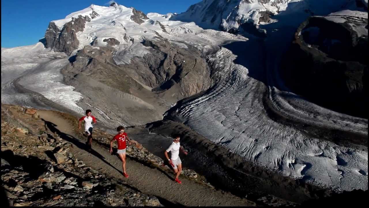
This course makes a good introduction to mountain running: 19 km long, with 1,150 vertical metres of ascent and descent. The route leads through the mountains west of Zermatt, over the slopes of the Sunnegga and Gornergrat.
- Težavnost
-
enostavno
- Ocenjevanje
-
- Pot
-
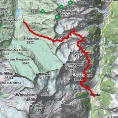
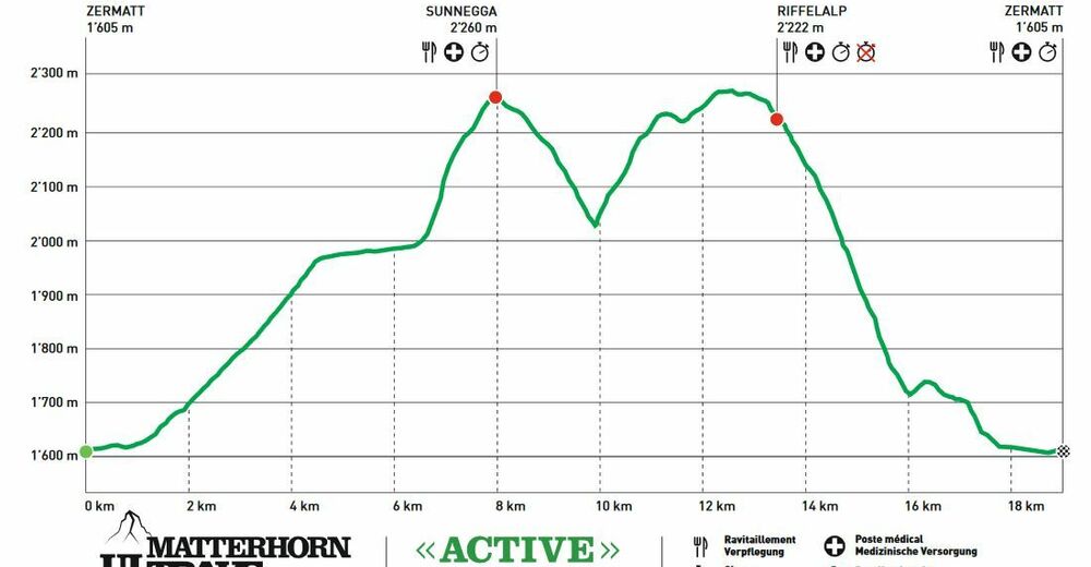
Zermatt (1.608 m)0,1 kmKirche St. Mauritius0,5 kmZermatt (1.605 m)1,7 kmOthmar’s Skihütte4,5 kmSunegga (2.277 m)8,8 kmEggen (2.177 m)9,9 kmZe Gassen (2.051 m)10,6 kmRiffelalp (2.222 m)14,5 kmAl Bosco14,6 kmUntere Riffelalp15,1 kmChämi-Hitta15,1 kmBlatten17,5 kmZermatt (1.608 m)19,8 km
- Najboljša sezona
-
janfebmaraprmajjunjulavgsepoktnovdec
- Najvišja točka
- 2.272 m
- Destinacija
-
Zermatt (1,620 m)
- Profil nadmorske višine
-
 © outdooractive.com

- Avtor
-
Turneja Matterhorn Ultraks Trail "Active" uporablja outdooractive.com na spletni strani ..
GPS Downloads


Splošne informacije
Postanek za osvežitev
Flora
Favna
Obetavno
Več izletov v regijah
-
Oberwallis
121
-
Mattertal
34
-
Zermatt
14