

© Lech Zürs Tourismus GmbH - Lech Zuers Tourismus GmbH
© Lech Zürs Tourismus GmbH - Lech Zuers Tourismus GmbH
© Lech Zürs Tourismus GmbH - Lech Zuers Tourismus GmbH
- Kratek opis
-
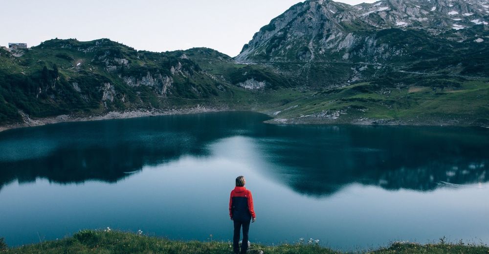
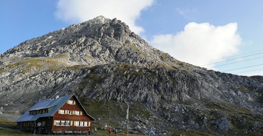
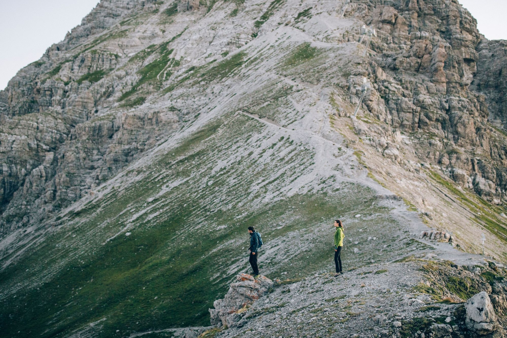
This long and difficult tour should be done early in the morning and only in good weather. Wonderful views and cosy refreshment stops await you.
- Težavnost
-
težko
- Ocenjevanje
-
- Pot
-
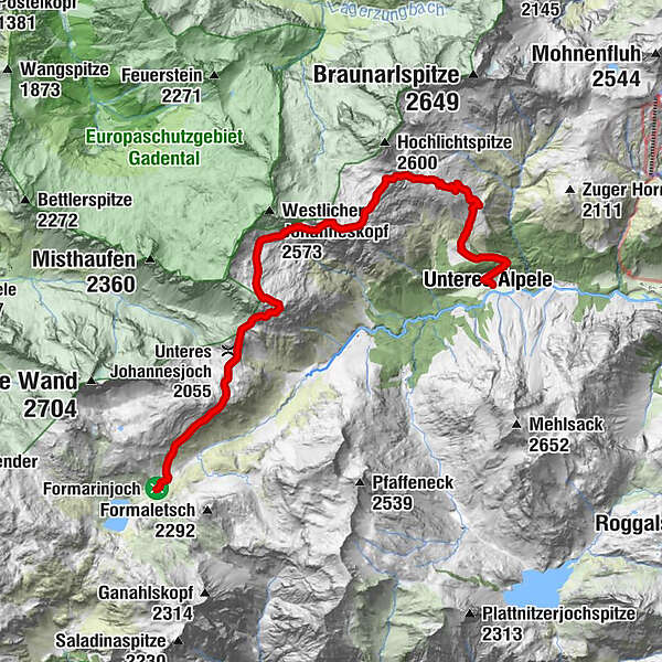
Formarinalpe0,2 kmGöppinger Hütte8,0 km
- Najboljša sezona
-
janfebmaraprmajjunjulavgsepoktnovdec
- Najvišja točka
- 2.411 m
- Destinacija
-
Gasthof Älpele
- Profil nadmorske višine
-


-

-
AvtorTurneja Over the Steinmayerweg to the Göppingen hut uporablja outdooractive.com na spletni strani ..
GPS Downloads


Splošne informacije
Postanek za osvežitev
Notranji nasvet
Obetavno
Več izletov v regijah
-
Klostertal
1789
-
Warth - Schröcken am Arlberg
612


