
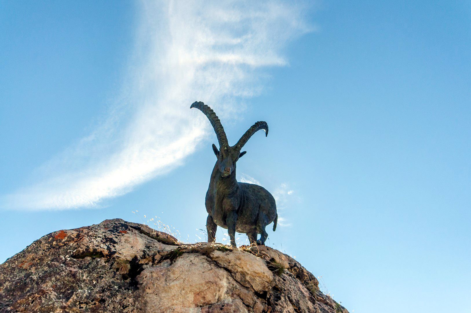
© Lech Zürs Tourismus GmbH - Lech Zuers Tourismus GmbH
© Lech Zürs Tourismus GmbH - Lech Zuers Tourismus GmbH
© Lech Zürs Tourismus GmbH - Lech Zuers Tourismus GmbH
© Lech Zürs Tourismus GmbH - Lech Zuers Tourismus GmbH
© Lech Zürs Tourismus GmbH - Lech Zuers Tourismus GmbH
- Kratek opis
-
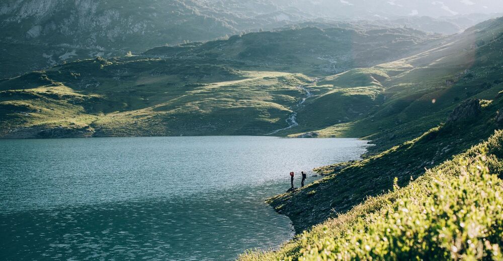
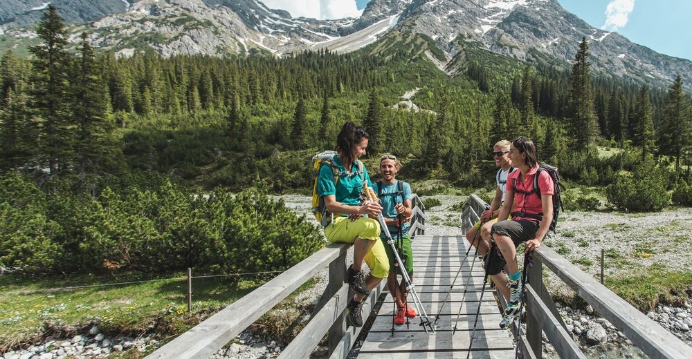
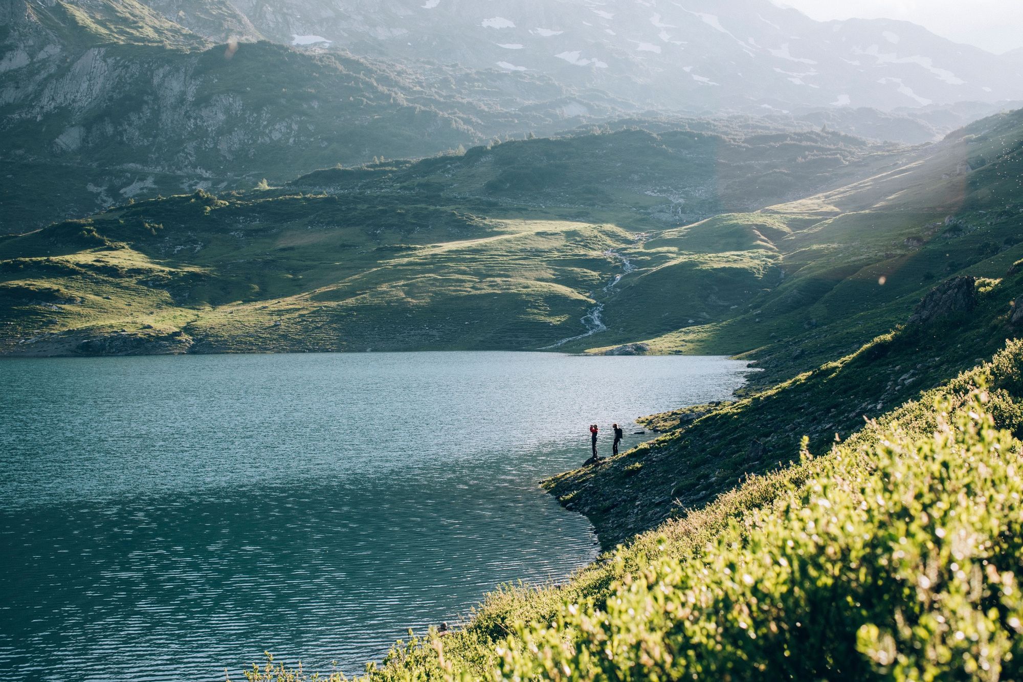
The long-distance hiking trail describes the route from the source of the river Lech to the fall in Füssen. It is definitely worthwhile to hike the first stage in a different direction. This leads from the centre of Lech to Lechquelle on the Formarinlake. The most beautiful place in Austria 2015 is therefore the goal of this hike.
- Težavnost
-
srednja
- Ocenjevanje
-
- Pot
-
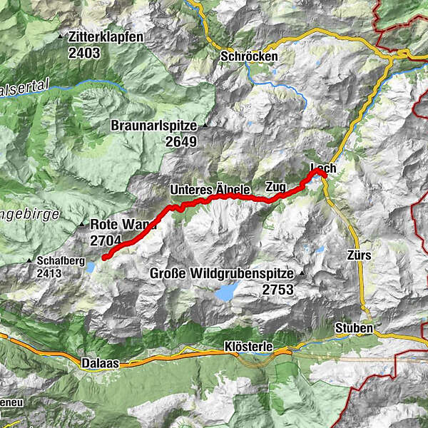
Lech (1.444 m)0,1 kmZug3,1 kmFormarinalpe13,7 km
- Najboljša sezona
-
janfebmaraprmajjunjulavgsepoktnovdec
- Najvišja točka
- 1.868 m
- Destinacija
-
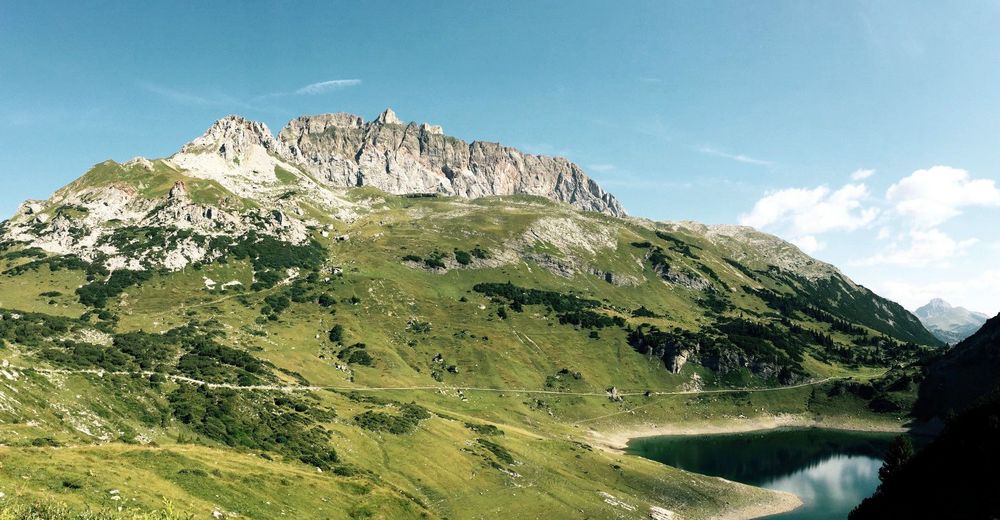
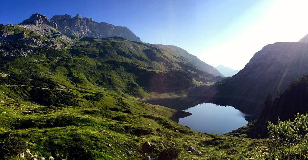
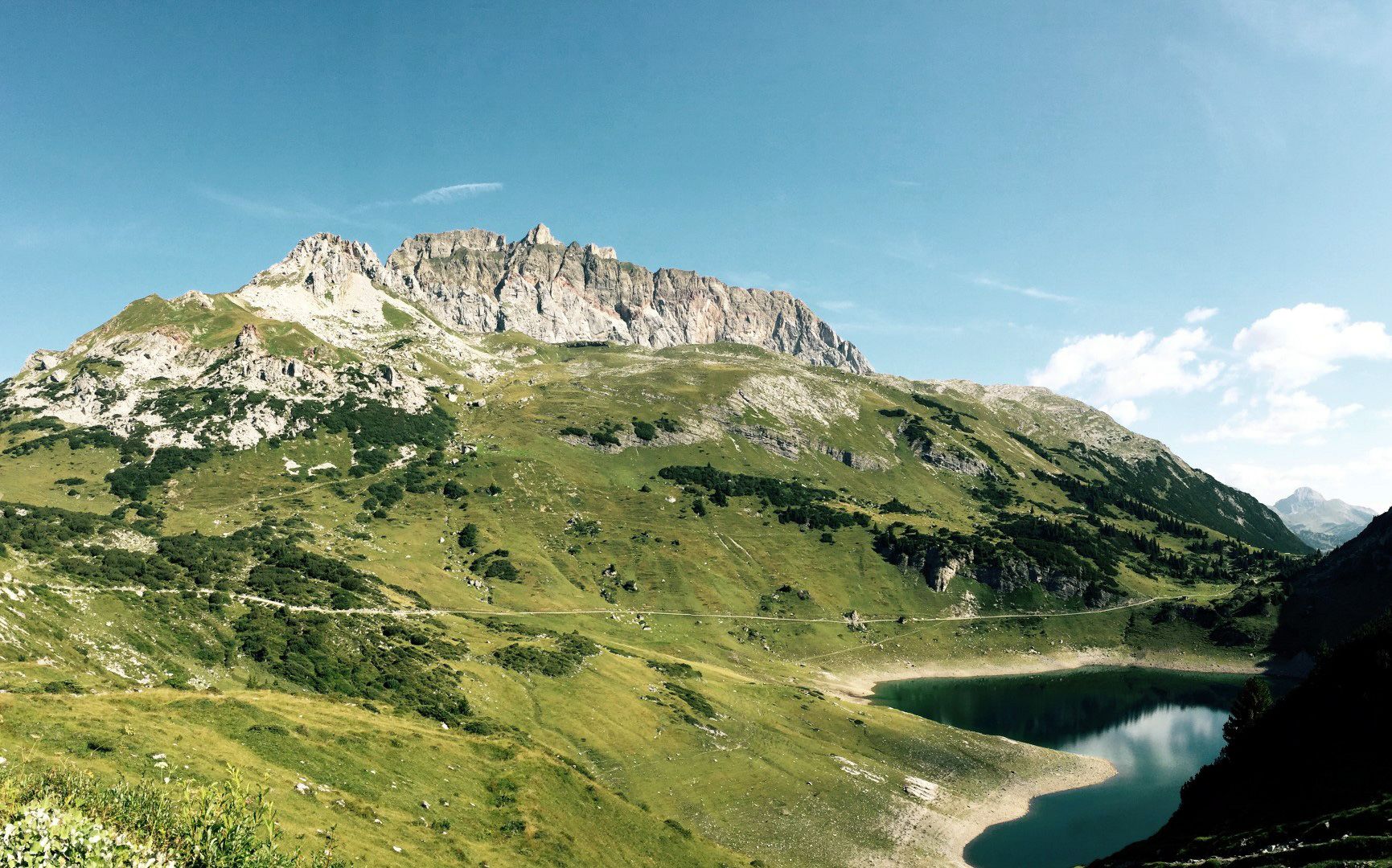
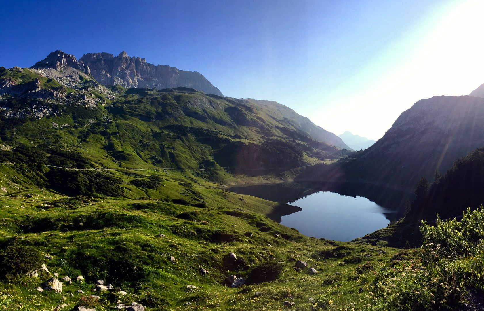
Formarinsee
- Profil nadmorske višine
-


-

-
AvtorTurneja From Lech to the Formarinlake uporablja outdooractive.com na spletni strani ..
GPS Downloads


Splošne informacije
Postanek za osvežitev
Obetavno
Več izletov v regijah
-
Klostertal
1791
-
Lech - Zürs am Arlberg
513


