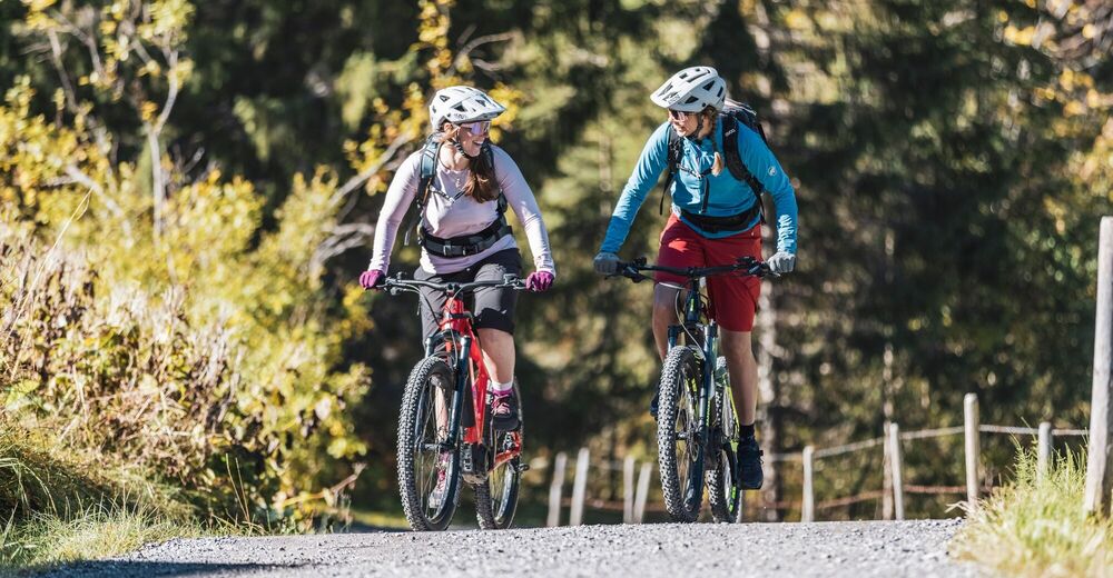
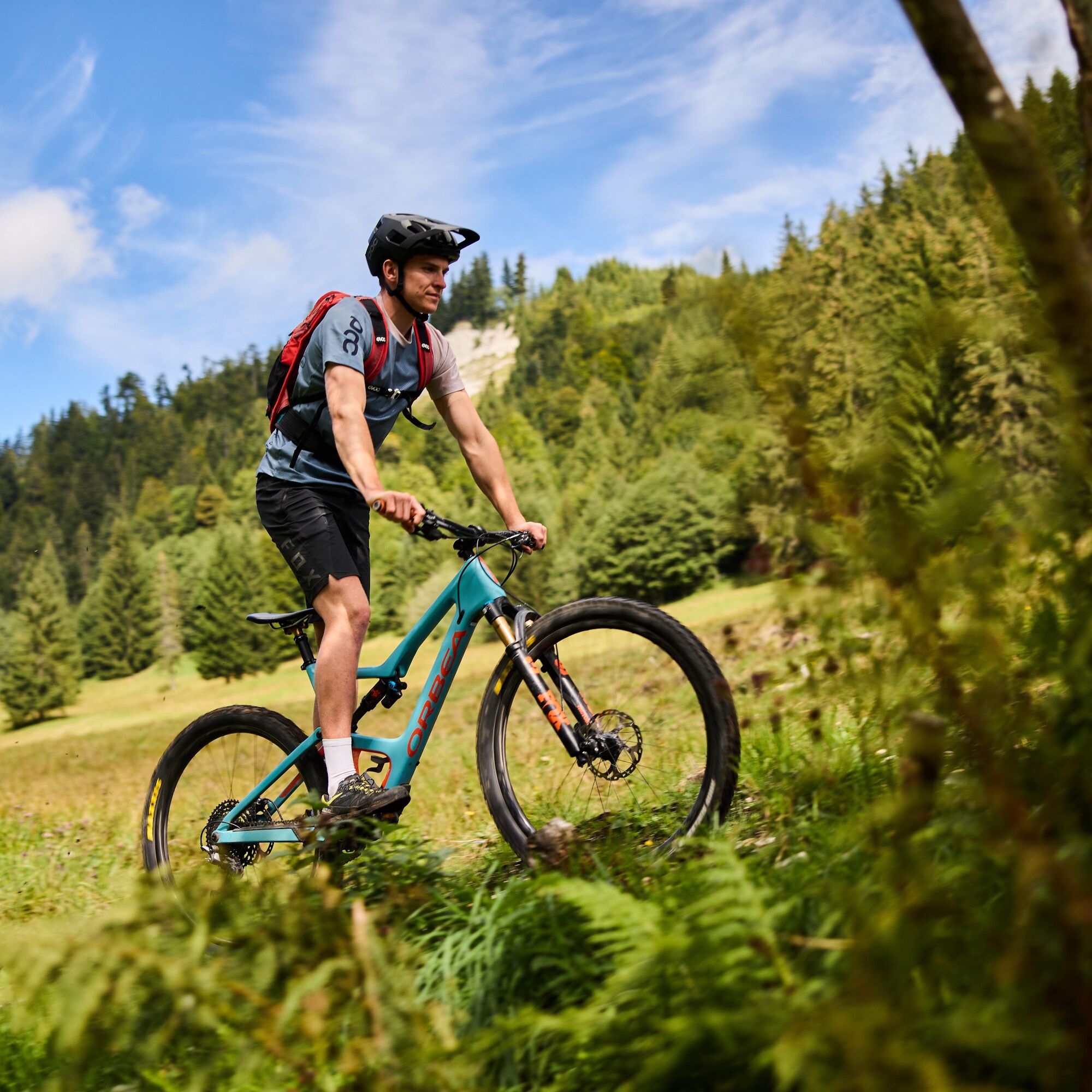
© Kleinwalsertal Tourismus eGen | @Fotograf: Bastian Morell

© Kleinwalsertal Tourismus - Oliver Farys

© Kleinwalsertal Tourismus eGen | @Fotograf: Bastian Morell

© Kleinwalsertal Tourismus eGen

© Kleinwalsertal Tourismus eGen

© Kleinwalsertal Tourismus eGen

© Kleinwalsertal Tourismus eGen

© Kleinwalsertal Tourismus eGen

© Kleinwalsertal Tourismus eGen

© Kleinwalsertal Tourismus eGen

- Kratek opis
-
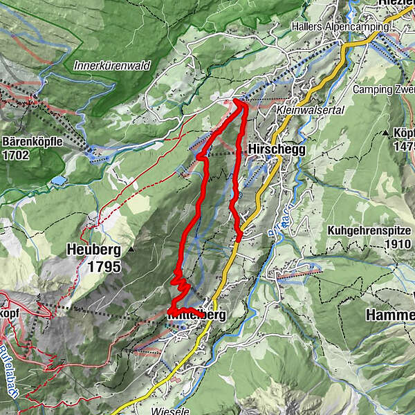
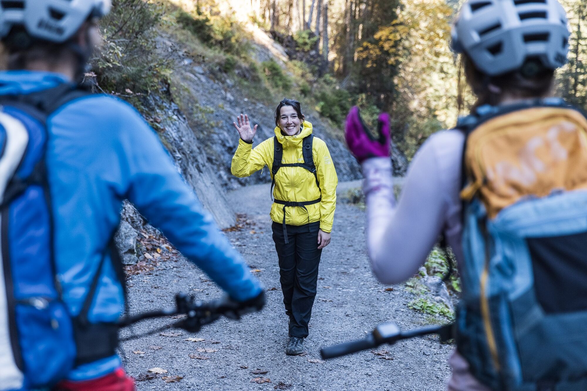
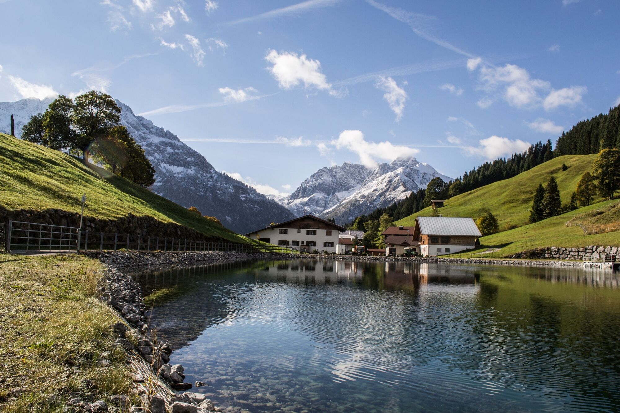
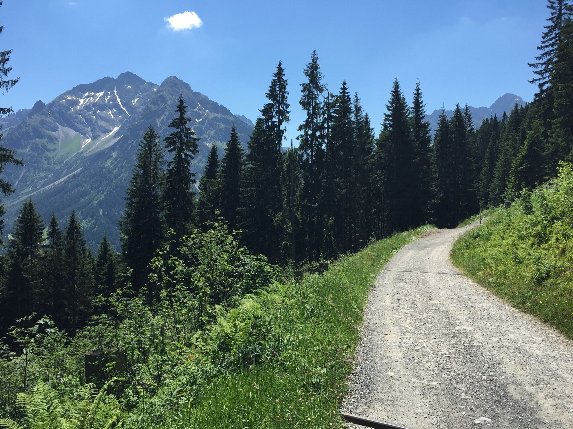
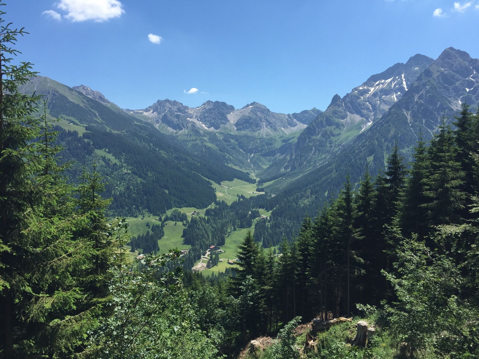
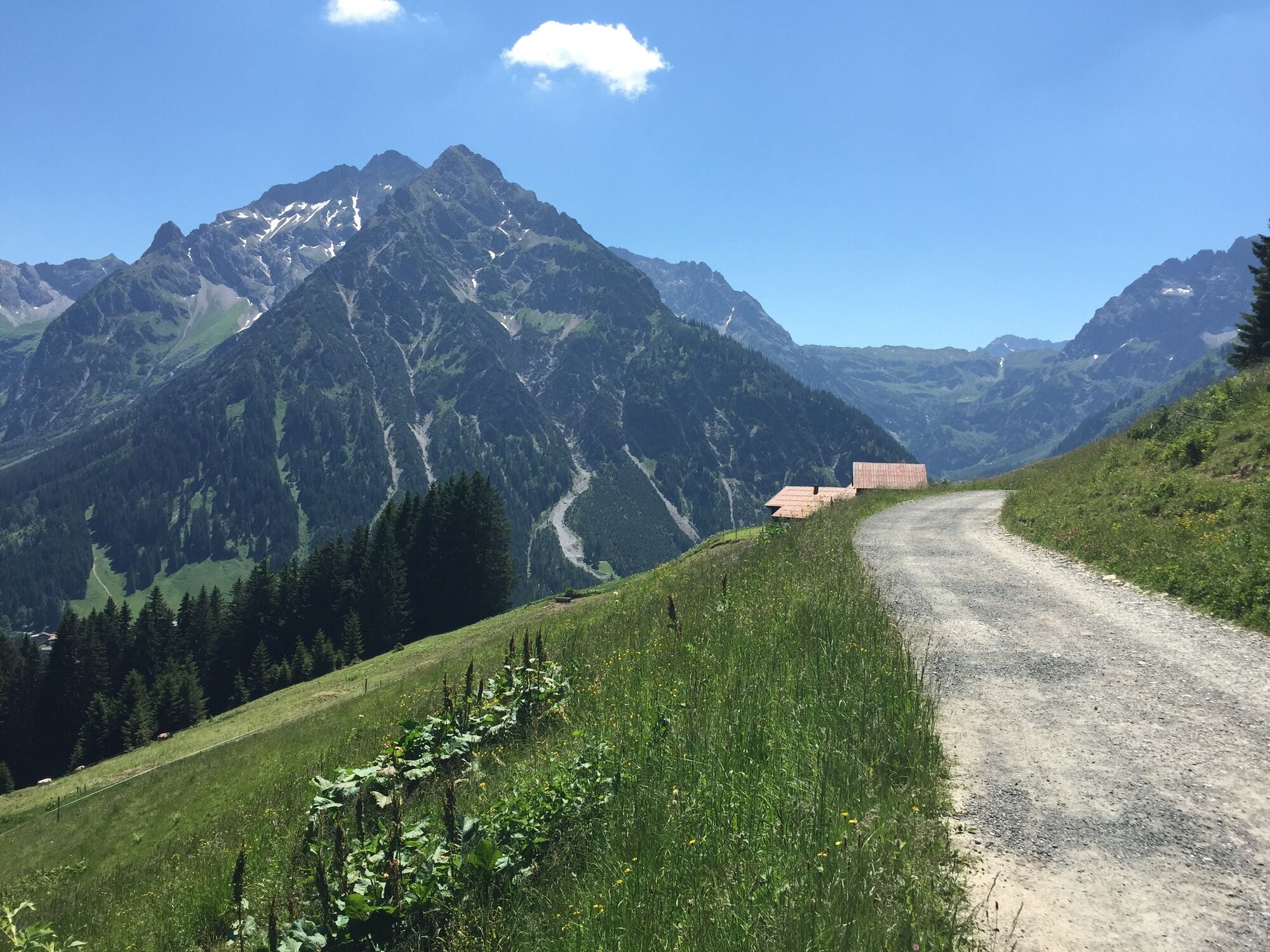
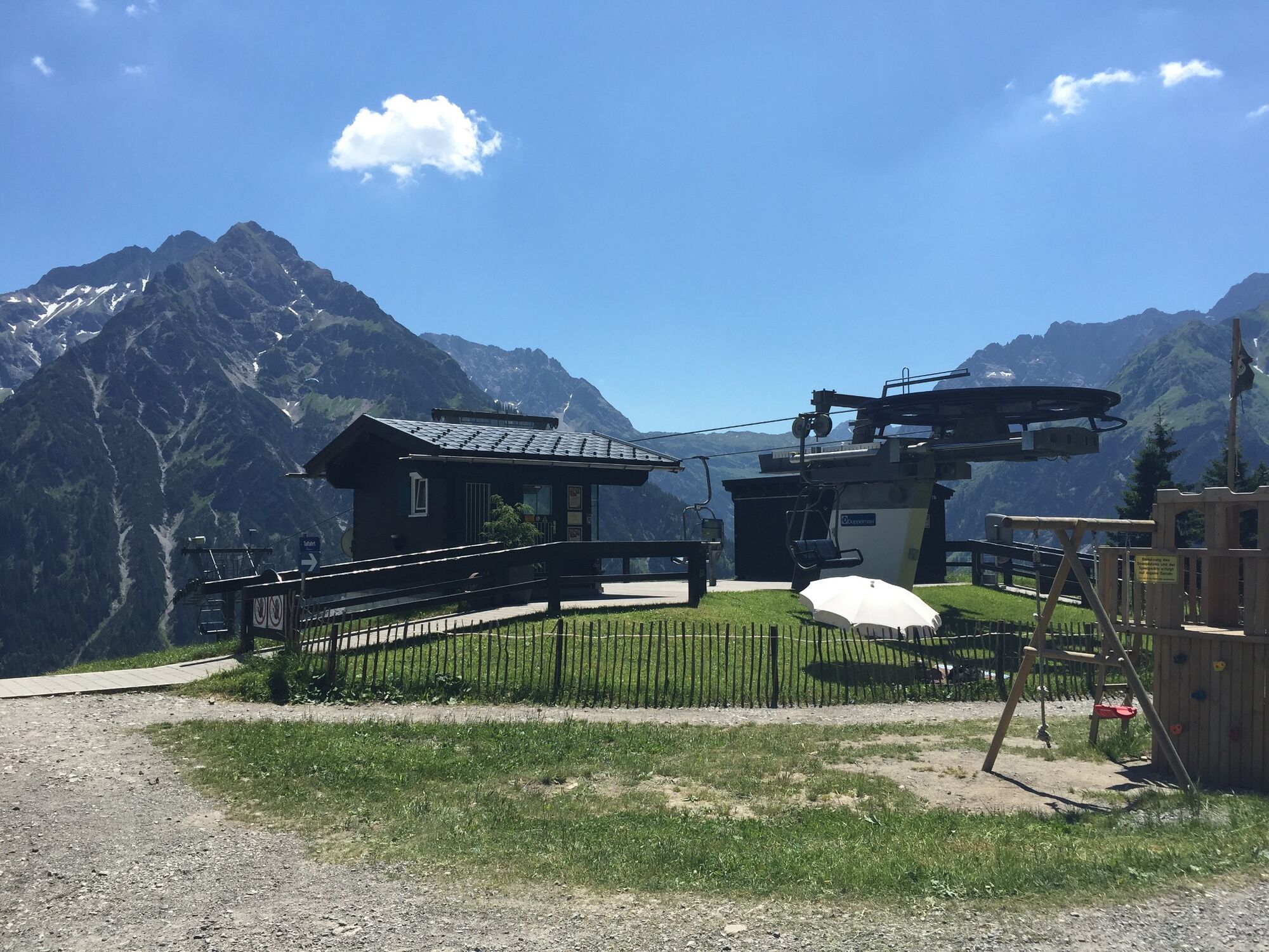
The Obere Höhenweg is a panorama path below the Walmendingerhorn with wonderful views of the mountains of the Kleinwalsertal. An easy hike with several places to rest and eat.
- Težavnost
-
enostavno
- Ocenjevanje
-
- Pot
-
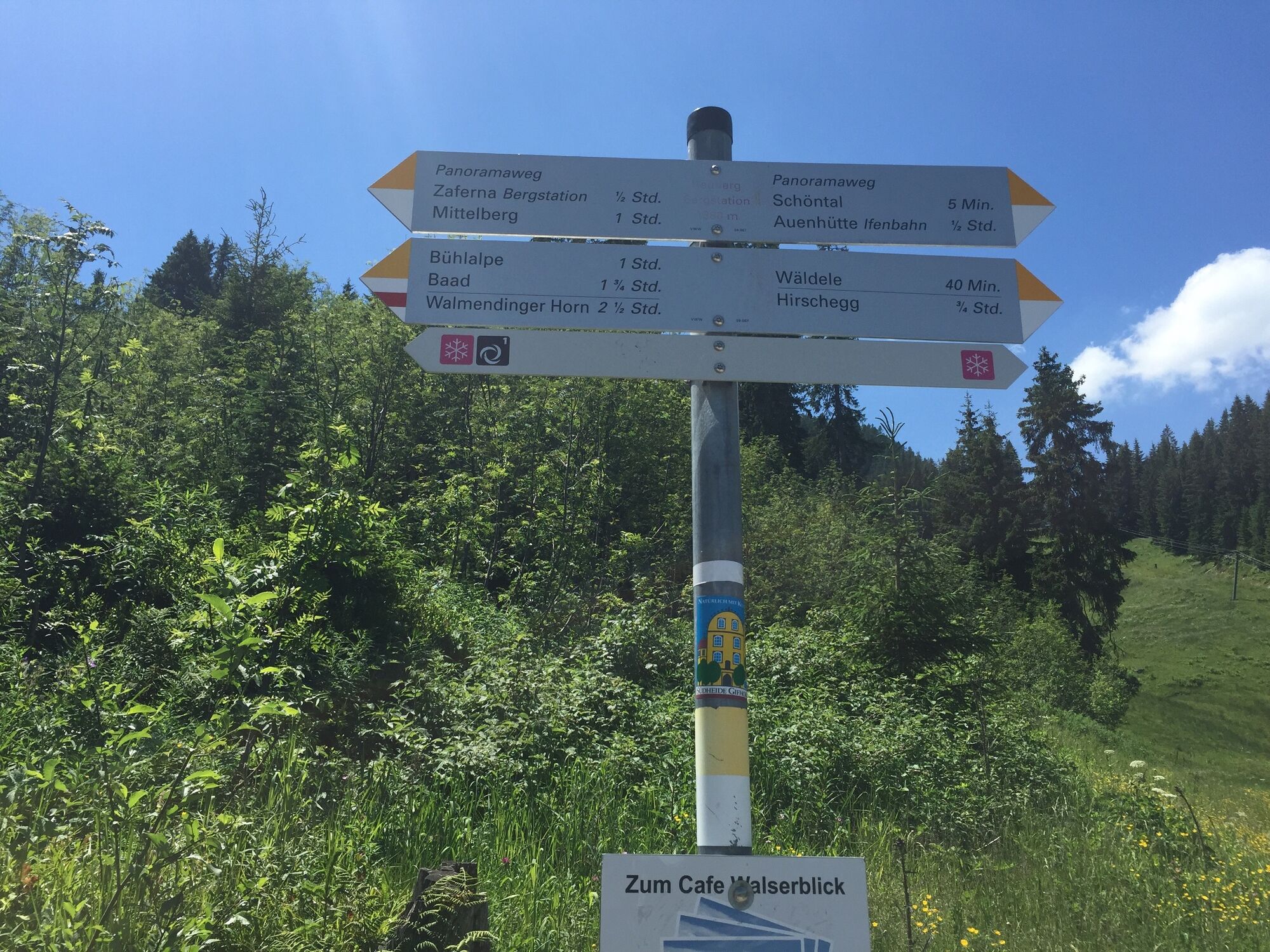
AhornRohr0,4 kmHirschegg (1.122 m)1,2 kmHeubergmuldenlift (1.360 m)2,5 kmSonna-Alp4,4 kmZafernabahn (1.420 m)4,5 kmZafernahütte4,5 kmMittelberg (1.215 m)6,0 km
- Najboljša sezona
-
janfebmaraprmajjunjulavgsepoktnovdec
- Najvišja točka
- 1.422 m
- Destinacija
-
Mittelberg
- Profil nadmorske višine
-


- Avtor
-
Turneja Easy bike tour on the oberen Höhenweg uporablja outdooractive.com na spletni strani ..
GPS Downloads


Splošne informacije
Postanek za osvežitev
Favna
Obetavno
Več izletov v regijah
-
Kleinwalsertal
199
-
Hirschegg
45


 Lech Zuers Tourismus by Hanno Mackowitz")