© APT Trento - E-Borghi

© APT Trento - E-Borghi

© APT Trento - E-Borghi

© APT Trento - E-Borghi

© APT Trento - E-Borghi

© APT Trento - E-Borghi

© APT Trento - E-Borghi

- Kratek opis
-
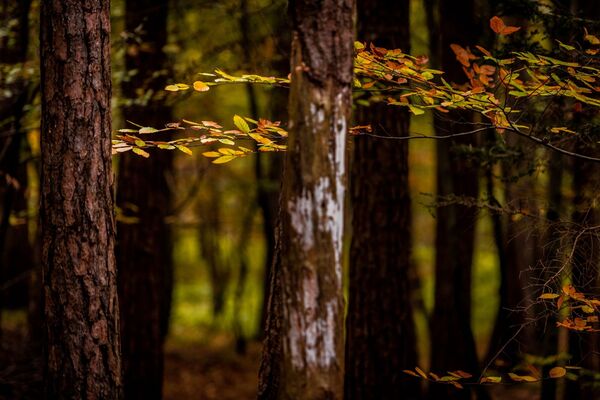
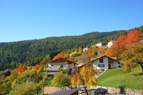
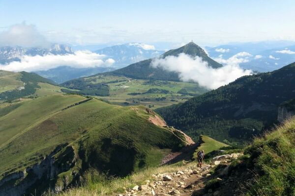
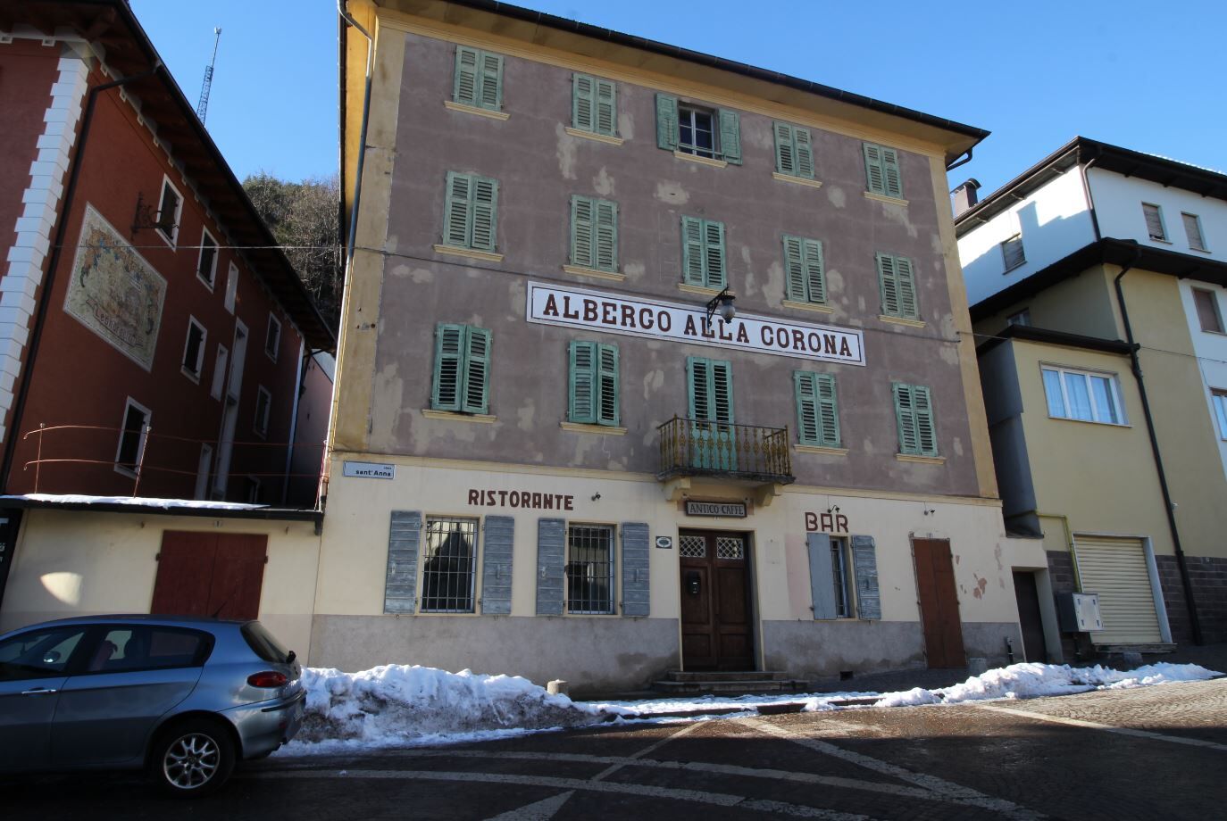
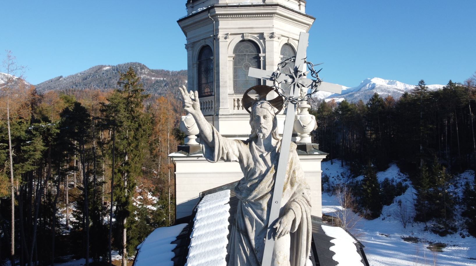
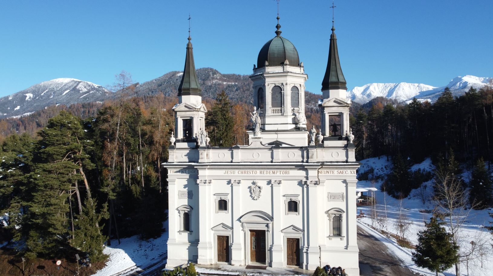
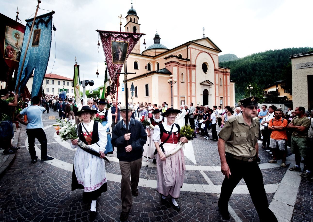
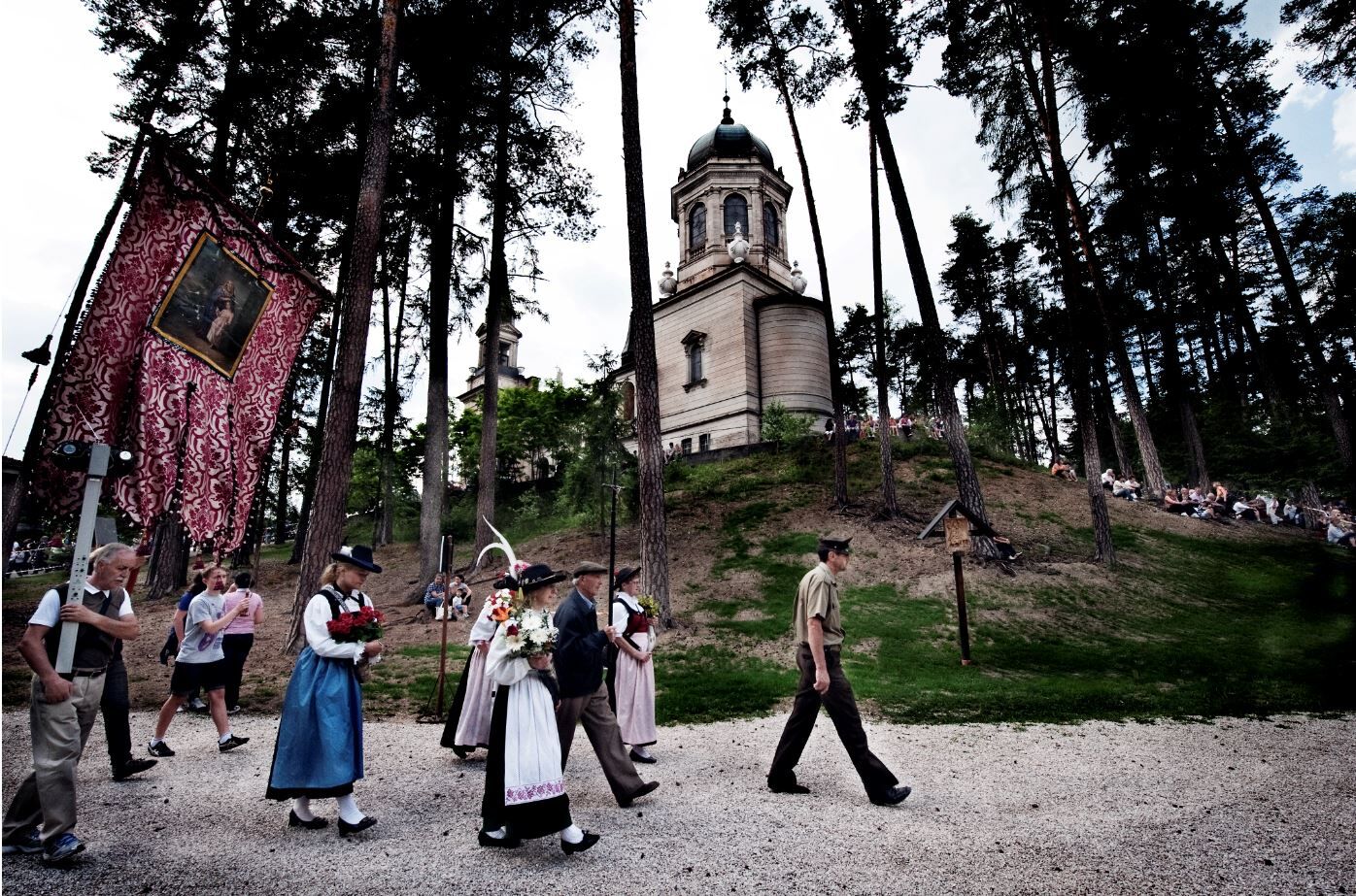
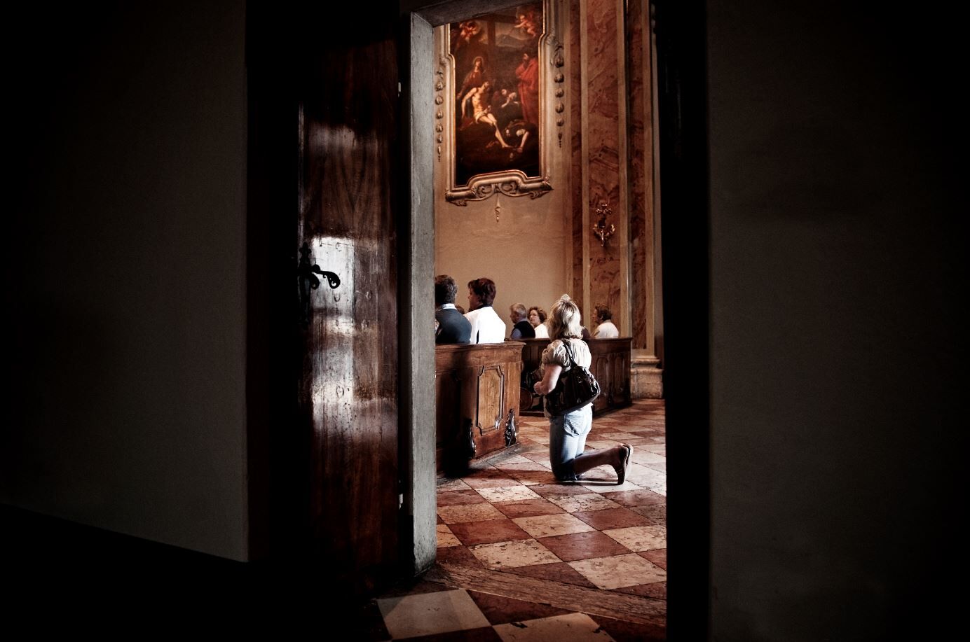
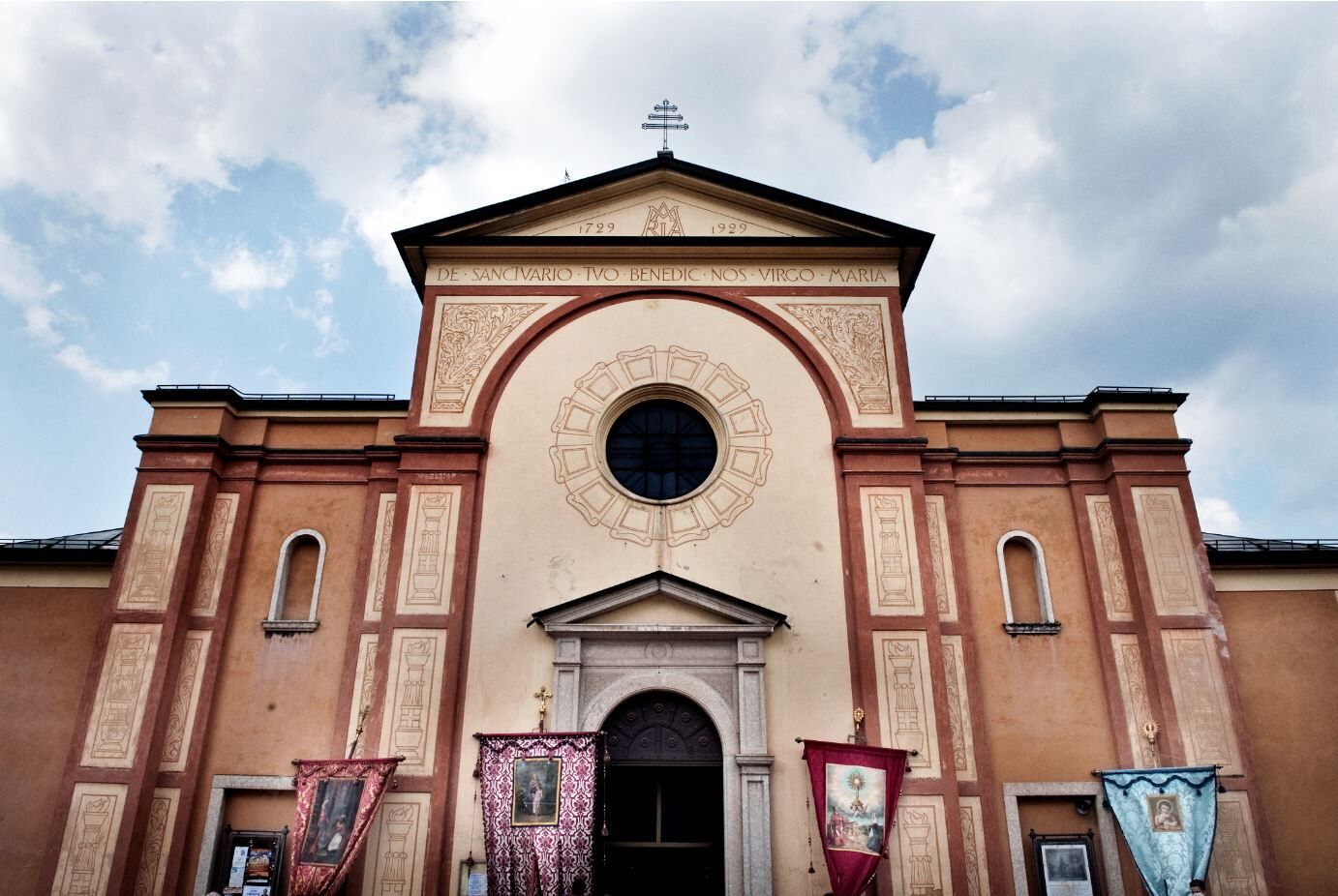
A short walk that allows two sanctuaries to be united in a single route, while at the same time allowing you to explore the most historic street in the village of Montagnaga, and then enjoy a breathtaking panorama at the Sanctuary of the Redeemer.
- Težavnost
-
enostavno
- Ocenjevanje
-
- Pot
-
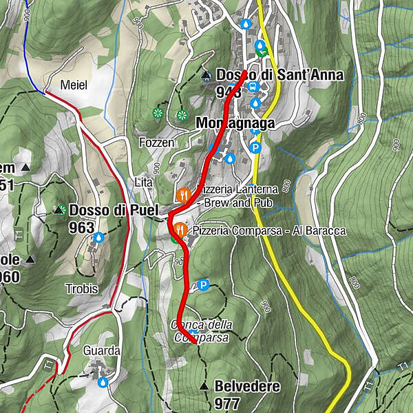
Erspan0,0 kmMontagnaga (882 m)0,2 kmFregolotti0,2 kmPizzeria Lanterna - Brew and Pub0,4 kmPizzeria Comparsa - Al Baracca0,6 kmMonumento al Redentore0,9 kmCa'dei Boci2,0 km
- Najboljša sezona
-
janfebmaraprmajjunjulavgsepoktnovdec
- Najvišja točka
- 930 m
- Destinacija
-
Santuario del Redentore - Montagnaga
- Profil nadmorske višine
-
 © outdooractive.com
- Avtor
-
Turneja From S. Anna to the Redentore uporablja outdooractive.com na spletni strani ..
GPS Downloads


Splošne informacije
Postanek za osvežitev
Zdravilno podnebje
Notranji nasvet
Obetavno
Več izletov v regijah