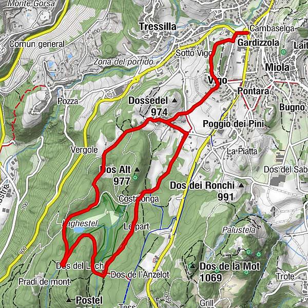
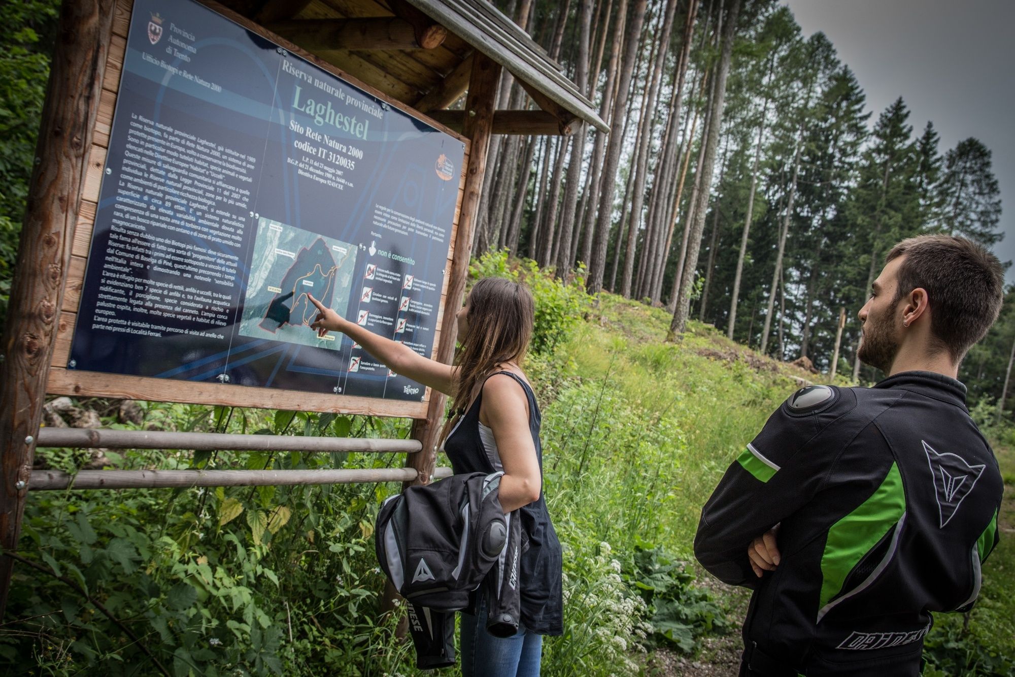
Ring route within the Laghestel Nature Reserve

Pohodništvo


- Kratek opis
-
Most of this ring route takes place within a protected wetland area called 'Laghestel'. There are no difficult sections on this route, and the differences in height are minor.
- Težavnost
-
enostavno
- Ocenjevanje
-
- Pot
-
Mühlen im PineidBaselga di PinéGardizzolaVigo0,7 kmFerrari1,3 kmPianaci3,7 kmLe part4,3 kmCostalonga4,6 kmFerrari5,5 km
- Najboljša sezona
-
janfebmaraprmajjunjulavgsepoktnovdec
- Najvišja točka
- 972 m
- Destinacija
-
Baselga di Piné
- Profil nadmorske višine
-
 © outdooractive.com
- Avtor
-
Turneja Ring route within the Laghestel Nature Reserve uporablja outdooractive.com na spletni strani ..
GPS Downloads


Splošne informacije
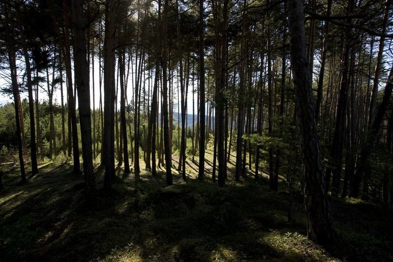
Flora
Favna
Obetavno
Več izletov v regijah