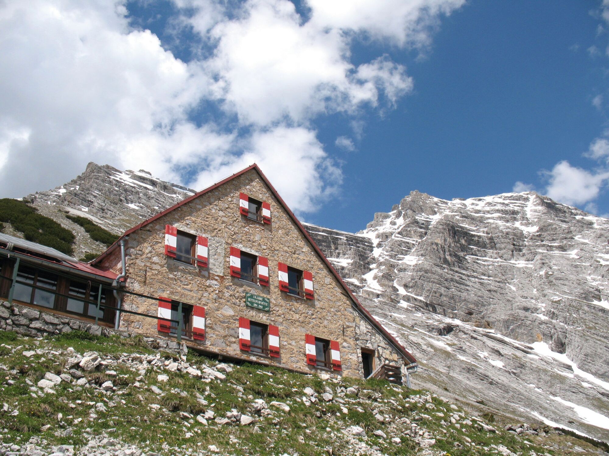
Through the Halltal to the peak of the Bettelwurf

Pohodništvo

© Tourismusverband Region Hall-Wattens - Hall Wattens

- Kratek opis
-
The Bettelwurf - no other mountain dominates the Hall-Wattens region so dramatically as the Bettelwurf massif.
- Težavnost
-
težko
- Ocenjevanje
-
- Pot
-
Bergerkapelle0,7 kmBettelwurfeck2,0 kmJakobibründlquelle2,1 kmKohlanger3,0 kmJausenstation St. Magdalena (1.287 m)3,3 kmErzherzogberg (1.424 m)4,7 kmHerrenhäuser (1.490 m)5,2 kmRuppertikapelle5,2 kmIssjöchl (1.668 m)6,4 kmKohlstatt (1.978 m)8,6 kmBettelwurfhütte (2.077 m)13,0 kmKleiner Bettelwurf (2.650 m)14,4 kmGroßer Bettelwurf (2.725 m)15,2 kmEisengattergrat16,1 kmBettelwurfhütte (2.077 m)17,2 kmBeim Juchezer18,5 kmGamsgufel20,0 kmUntere Bettelwurfreise20,2 kmBergerkapelle21,8 km
- Najboljša sezona
-
janfebmaraprmajjunjulavgsepoktnovdec
- Najvišja točka
- 2.700 m
- Destinacija
-
Bettelwurf
- Profil nadmorske višine
-

-

-
AvtorTurneja Through the Halltal to the peak of the Bettelwurf uporablja outdooractive.com na spletni strani ..
GPS Downloads


Splošne informacije
Postanek za osvežitev
Obetavno
Več izletov v regijah
-
Ferienregion Hall - Wattens
1491
-
Absam
347


