© Tourismusverband Seefeld - Region Seefeld

© Tourismusverband Seefeld - Region Seefeld

© Tourismusverband Seefeld - Region Seefeld

© Tourismusverband Seefeld - Region Seefeld

- Kratek opis
-
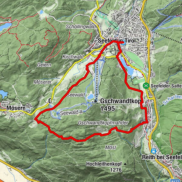
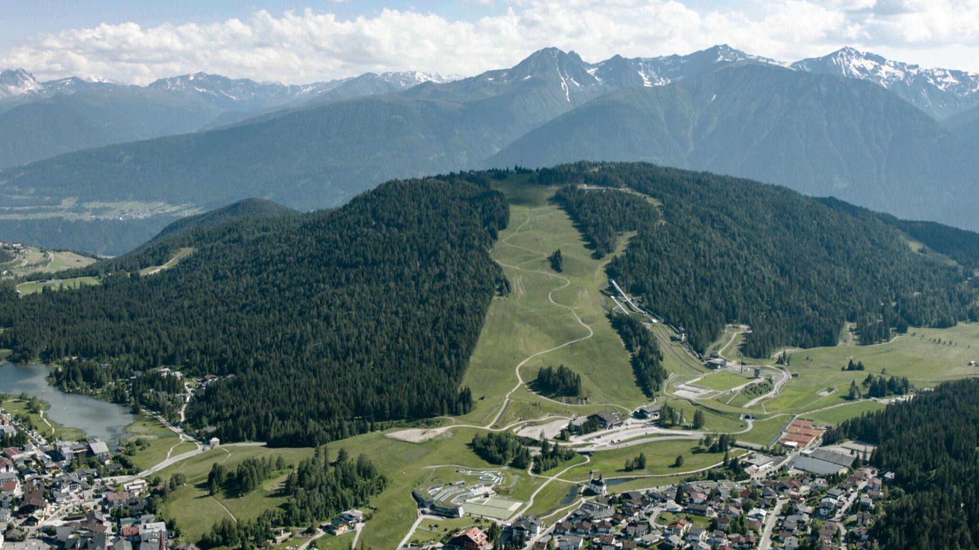
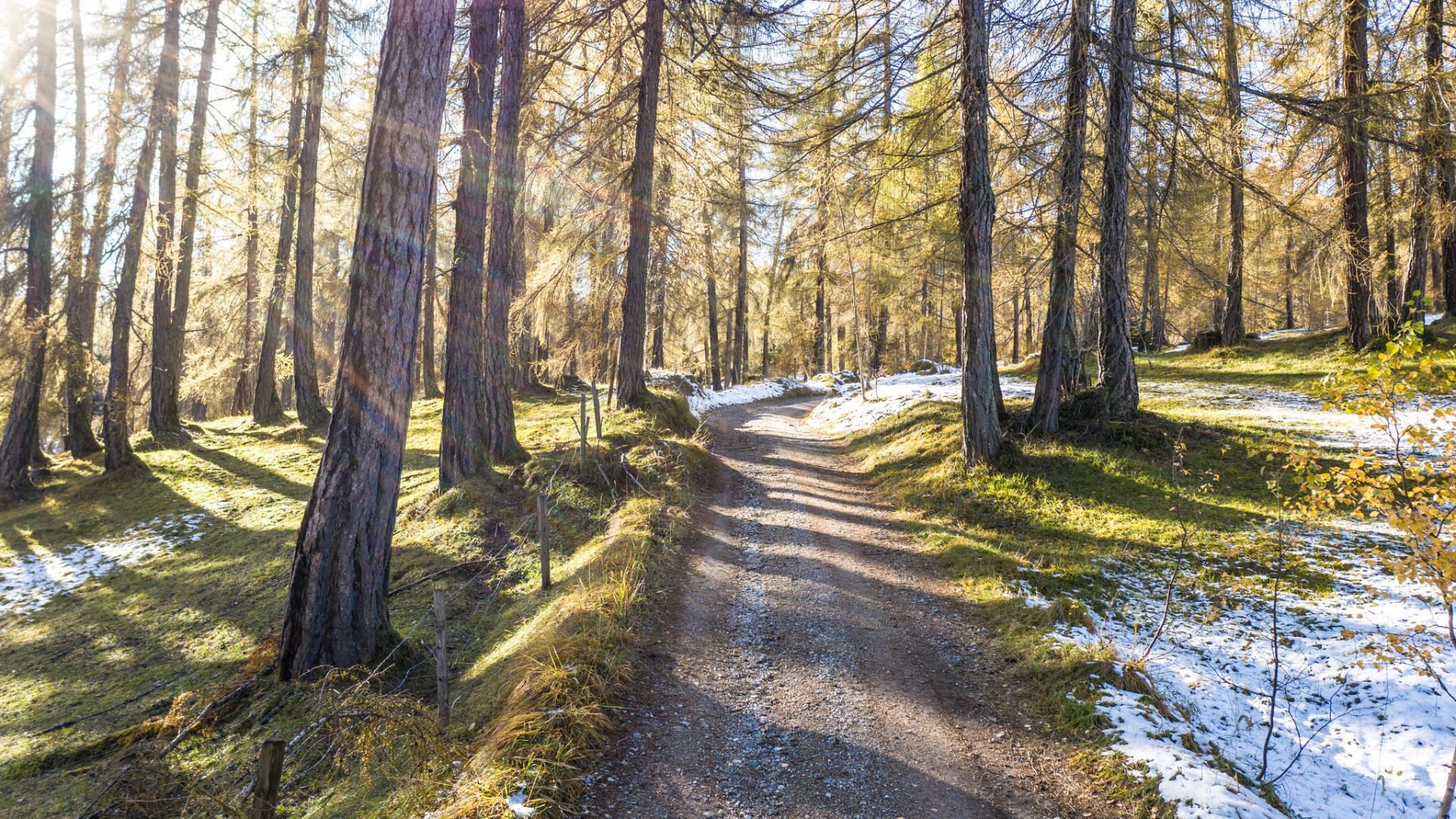
Landschafts- und panoramareiche Wanderrunde mit wunderschönen Rastmöglichkeiten.
- Pot
-
Seefeld in Tirol (1.182 m)Seefeld in Tirol (1.180 m)0,2 kmPfarrkirche St. Oswald0,2 kmEnzianhütte7,2 kmAuland7,7 kmEnglhof7,7 kmSeefeld in Tirol (1.180 m)10,3 kmSeefeld in Tirol (1.182 m)10,6 km
- Najvišja točka
- 1.339 m
- Destinacija
-
Seefeld Bahnhof
- Profil nadmorske višine
-


- Avtor
-
Turneja Rundwanderung um den Gschwandtkopf uporablja outdooractive.com na spletni strani ..
GPS Downloads


Več izletov v regijah