


Hike Tumpen - Umhausen
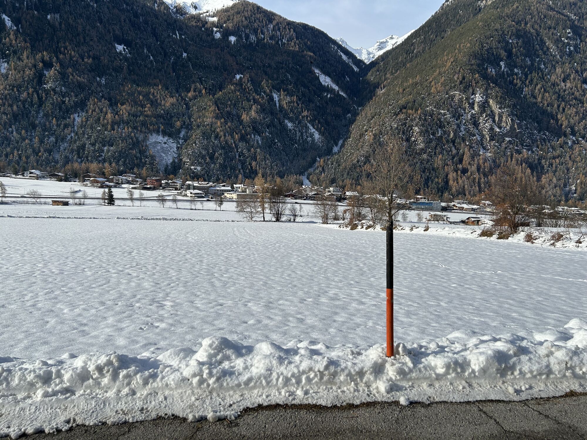
From the Mure parking lot in the village center of Umhausen, walk gently downhill along meadows and fields towards Farst. Shortly before the foot of the Engelswand, follow the right turn to the east on...
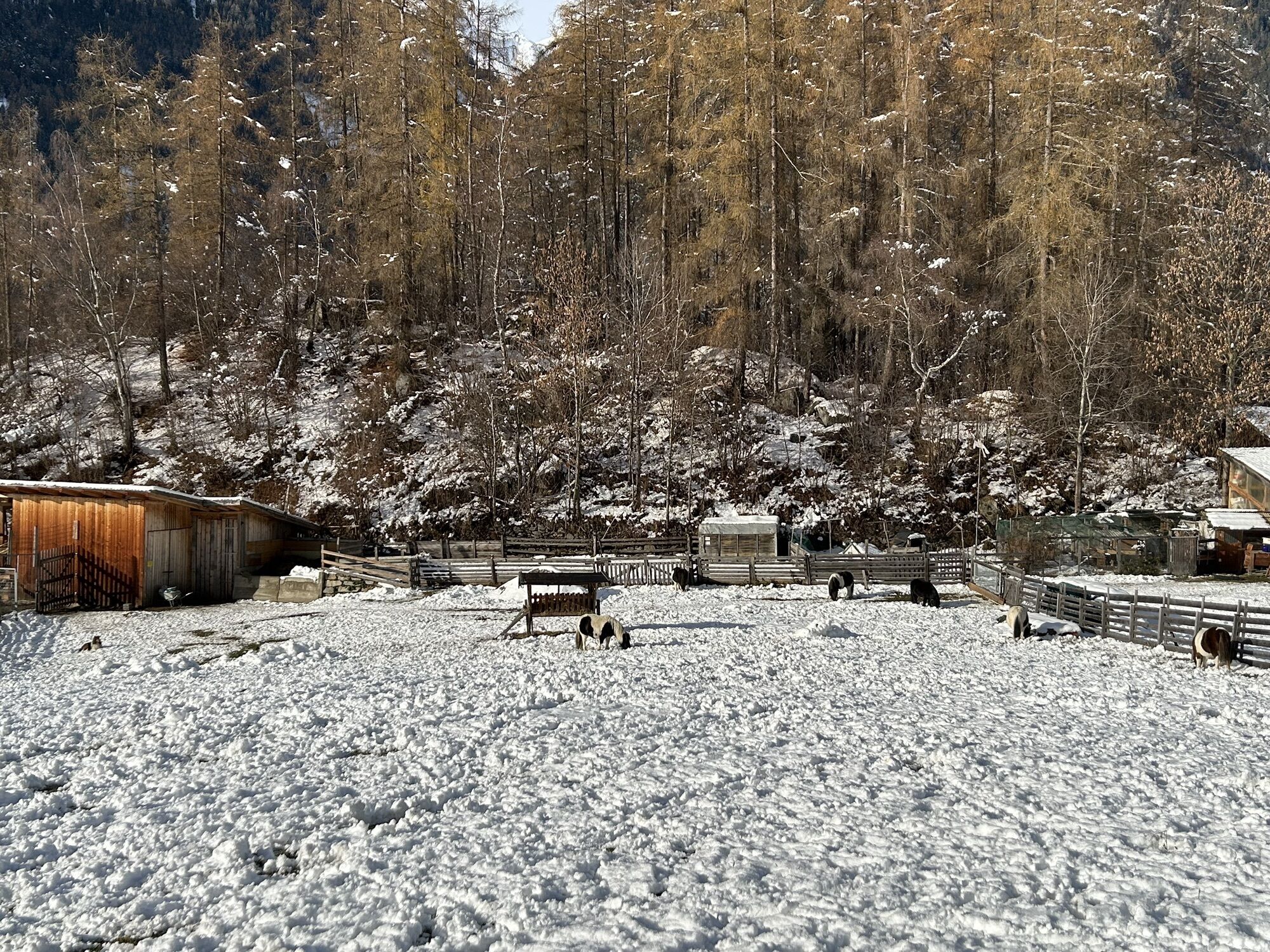
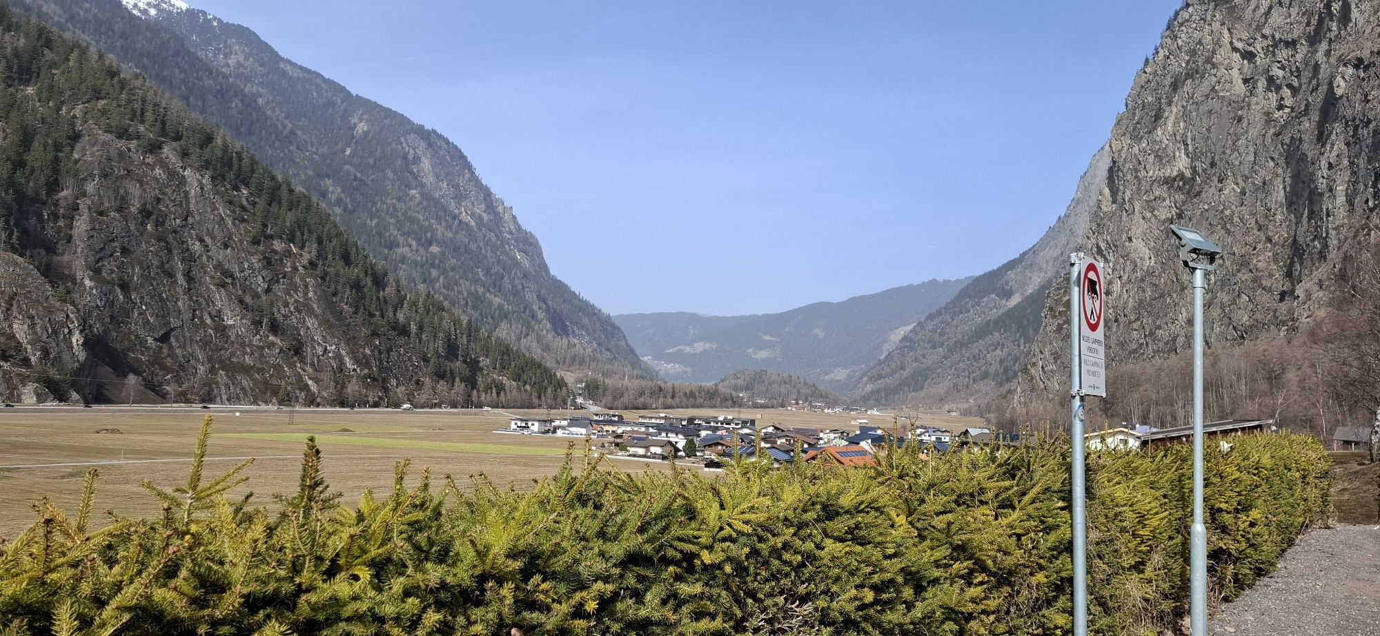
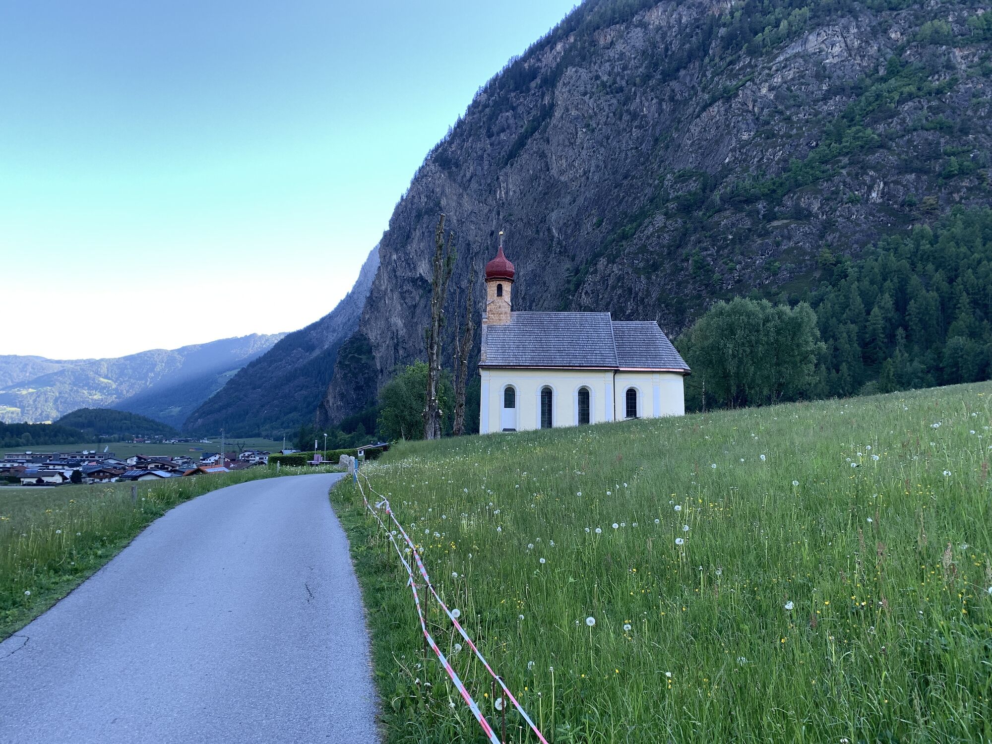
From the Mure parking lot in the village center of Umhausen, walk gently downhill along meadows and fields towards Farst. Shortly before the foot of the Engelswand, follow the right turn to the east on the promenade straight ahead to the chapel "Maria Schnee." From there, through the hamlet Lehn-Platzl and past the legendary "Engelswand" to Tumpen. Maria Schnee is a baroque building with magnificent rococo furnishings. On August 5th, snow is said to have fallen there. The population interpreted this as a sign for a church construction. Generously renovated for the 200-year celebration, Maria Schnee is now a much-visited pilgrimage and popular wedding church.

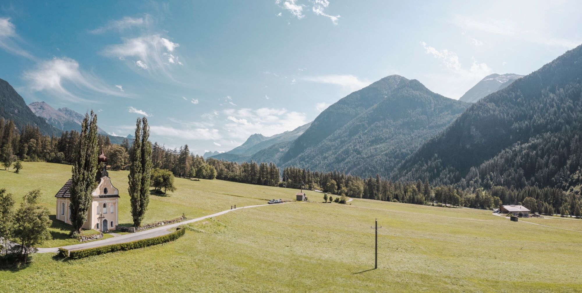
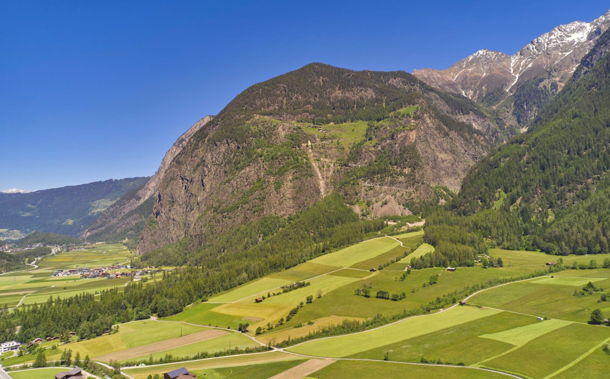
From the Mure parking lot in the village center of Umhausen, walk gently downhill along meadows and fields towards Farst. Shortly before the foot of the Engelswand, follow the right turn to the east on the promenade straight ahead to the chapel "Maria Schnee." From there, through the hamlet Lehn-Platzl and past the legendary "Engelswand" to Tumpen.
Da
Da
Da
Appropriate equipment such as breathable and weather-appropriate outdoor clothing, ankle-high hiking boots, wind, rain and sun protection, hat, and possibly gloves is required for all hikes and routes. It is necessary to carry a first aid kit, a mobile phone, and possibly a hiking map, as well as sufficient provisions on hikes without refreshment options.
The car journey to the ÖTZTAL. Located in Tyrol, the Ötztal branches southwards as the longest side valley of the Eastern Alps. The trip by car takes visitors through the Inn valley to the valley entrance and continues along the Ötztal. In addition to the toll motorway, country roads can also be used. Your trip can be planned quickly and conveniently with the route planner.
To the route planner: https://www.google.at/maps
Travel comfortably and safely by train to the Ötztal train station. The final stop or exit point is the ÖTZTAL station. Afterwards, travel conveniently and quickly by public transport or local taxis through the entire valley to your desired destination! The current bus schedule is available at: http://fahrplan.vvt.at
In Umhausen, the following parking options are available:
Mure parking lot | free of charge
Since the path is mostly flat, it is also suitable for wheelchair users and prams (asphalt and gravel path).
Spletne kamere s turneje
-
Hochoetz
-
Niederthai im Ötztal
-
Niederthai - Alpin Appart
-
Wetterkreuzbahn Talstation
-
Widiversum Hochoetz
-
Umhausen - Vivea Gesundheitshotel
-
Piburger See
-
Piburger See
-
Umhausen - der Veitenhof
-
Kids Park/Schwimmbad
-
Kids Park/Schwimmbad
-
Kids Park/Schwimmbad
-
Kids Park/Schwimmbad
-
Kids Park/Schwimmbad
-
Stuibenfall
-
Stuibenfall
-
Stuibenfall
-
Stuibenfall
-
Stuibenfall
-
Piburger See
-
Umhausen / Hotel Tauferberg
-
Umhausen / Hotel Tauferberg
-
Umhausen / Hotel Tauferberg
-
Umhausen / Hotel Tauferberg
-
Umhausen / Hotel Tauferberg
-
Niederthai - Delano
-
Niederthai - Delano
-
Umhausen / Hotel Tauferberg
Priljubljeni izleti v okolici
-
4.5
Winnebachsee Hut – Längenfeld/Gries
srednjaPohodništvo 4.74 km -
4.4
Stuibenfall Umhausen circular hike
svetlobaPohodništvo 9.32 km -
4.2
Hike Stuibenfall - Umhausen
svetlobaPohodništvo 2.95 km -
4.3
Lampsenspitze, Sellrain, Tirol
srednjaSmučarska tura 4.97 km -
4.5
Oetz - Piburger See - Oetz
srednjaPohodništvo 7.16 km -
4.4
Rundwanderung Hängebrück3
svetlobaPohodništvo 6.32 km -
4.7
Winter circular route Brandalm/Burgstein - Längenfeld 204
srednjaZimsko pohodništvo 5.44 km -
4.6
Umhausen - Stuibenfall - Umhausen
srednjaPohodništvo 7.94 km -
4.6
Summit route Faltegartenköpfl
srednjaPohodništvo 4.04 km -
4.7
Circular hike Bergmahderweg - Niederthai
svetlobaPohodništvo 7.60 km

Pohodništvo in sledenje


Ne zamudite ponudb in navdiha za naslednje počitnice
Vaš e-poštni naslov je bil dodan na poštni seznam.