Datumi turnej
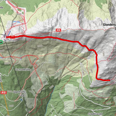
15,47km
2.317
- 2.721m
735hm
717hm
05:00h

- Kratek opis
-
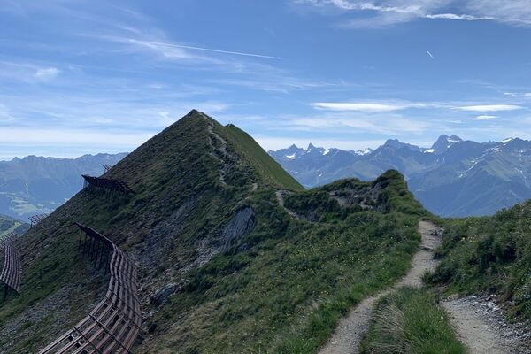
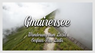
Aussichtsreiche Wanderung bei Serfaus-Fiss-Ladis, vom Lazid zum Gmairersee.
- Težavnost
-
srednja
- Ocenjevanje
-
- Izhodiščna točka
-
Lazid Bergstation Serfaus
- Pot
-
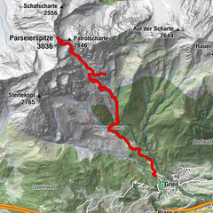
Lazidkopf (2.346 m)0,0 kmLazidschlepplift (2.383 m)0,5 kmBöderköpfe (2.415 m)0,7 kmScheid (2.429 m)1,1 kmArrezjoch (2.580 m)4,3 kmArrezjoch Kreuz4,3 kmHexenseehütte6,0 kmHexensattel (2.713 m)7,1 kmHexenseehütte9,2 kmArrezjoch Kreuz11,1 kmArrezjoch (2.580 m)11,1 kmScheid (2.429 m)14,0 kmBöderköpfe (2.415 m)14,4 kmLazidschlepplift (2.383 m)14,8 kmLazidkopf (2.346 m)15,3 kmLazidbahn (2.346 m)15,3 km
- Najboljša sezona
-
janfebmaraprmajjunjulavgsepoktnovdec
- Najvišja točka
- Hexensattel (2.721 m)
- Destinacija
-
Lazid Bergstation Serfaus
- Počitek/Umik
-
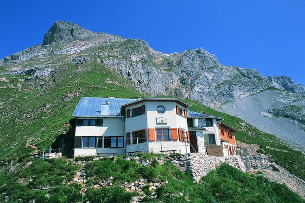
Hexenseehütte
- Literatura
-
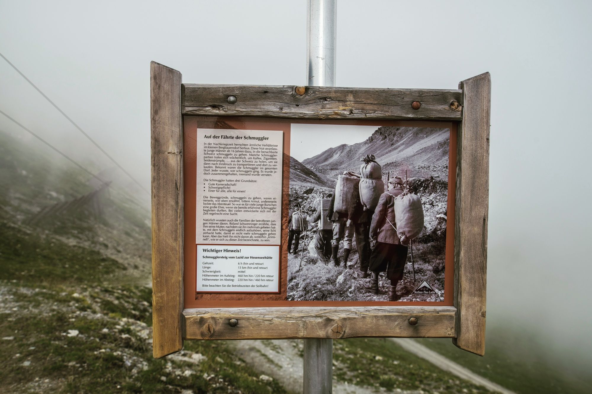
Ischgl, Serfaus, Paznauntal, Landeck, Nauders, Reschenpass, Samnaun: Nr. 04, Outdoorkarte Österreich, 1:35 000, Freemap on Smartphone included (Kümmerly+Frey Outdoorkarten Österreich)
- Gradivo za zemljevid
-
Wanderkarte Serfaus-Fiss-Ladis
- Videos
-
 02:13
02:13 02:016 years ago


- Ti
- Thorsten Günthert
GPS Downloads


Razmere na poti
Asfalt
Gramoz
Meadow
Forest
Rock
Razkrita stran
Več izletov v regijah
-
Serfaus - Fiss - Ladis
934
-
Pfunds
214