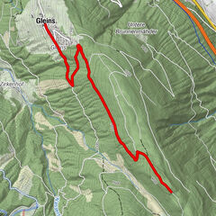
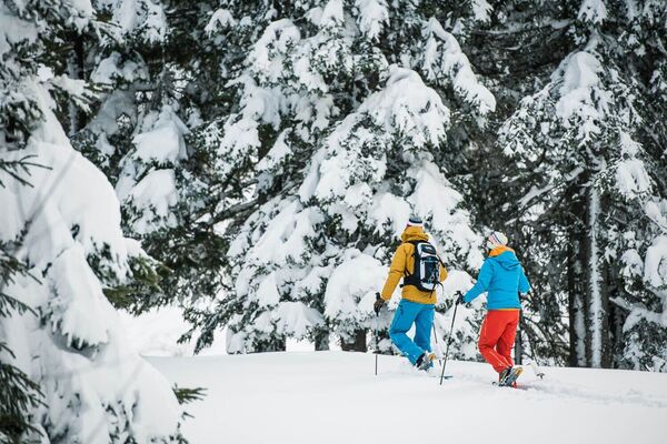
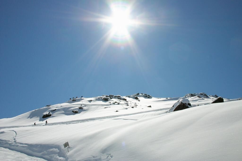
With snowshoes from the Glungezer to the Kreuzspitze

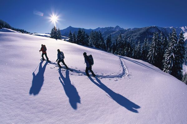
Snežni čevlji

© Tourismusverband Region Hall-Wattens - Hall Wattens
- Kratek opis
-
Hm ↑ 600; ↓ 600 Hm, Gz 4 Std.
- Težavnost
-
težko
- Ocenjevanje
-
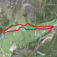
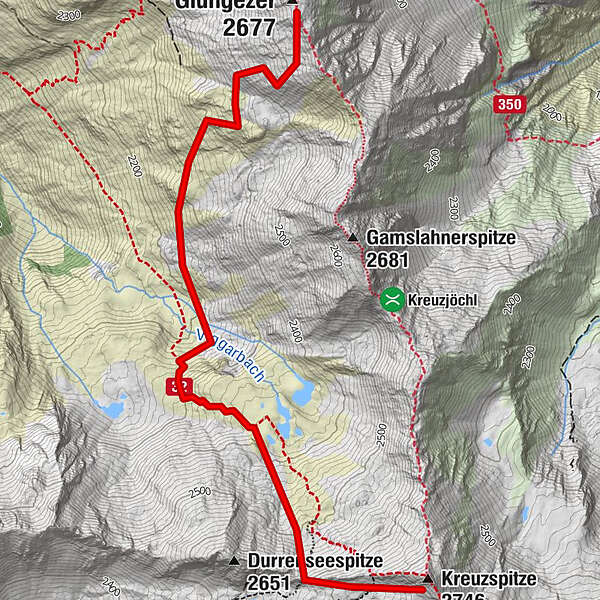
- Pot
-
Kreuzspitze (2.746 m)3,8 km
- Najboljša sezona
-
avgsepoktnovdecjanfebmaraprmajjunjul
- Najvišja točka
- 2.693 m
- Destinacija
-
Kreuzspitze
- Profil nadmorske višine
-

-

-
AvtorTurneja With snowshoes from the Glungezer to the Kreuzspitze uporablja outdooractive.com na spletni strani ..
GPS Downloads


Splošne informacije
Notranji nasvet
Obetavno
Več izletov v regijah