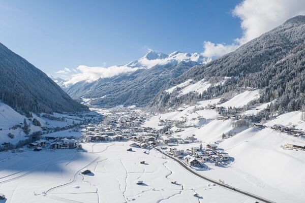
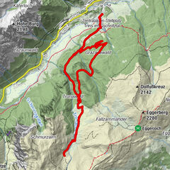
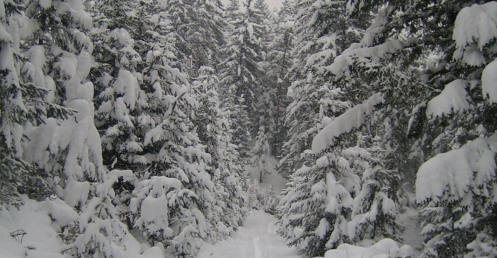
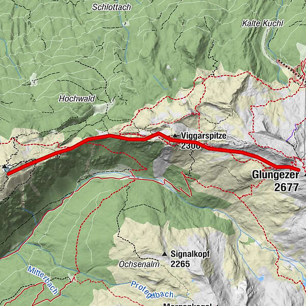
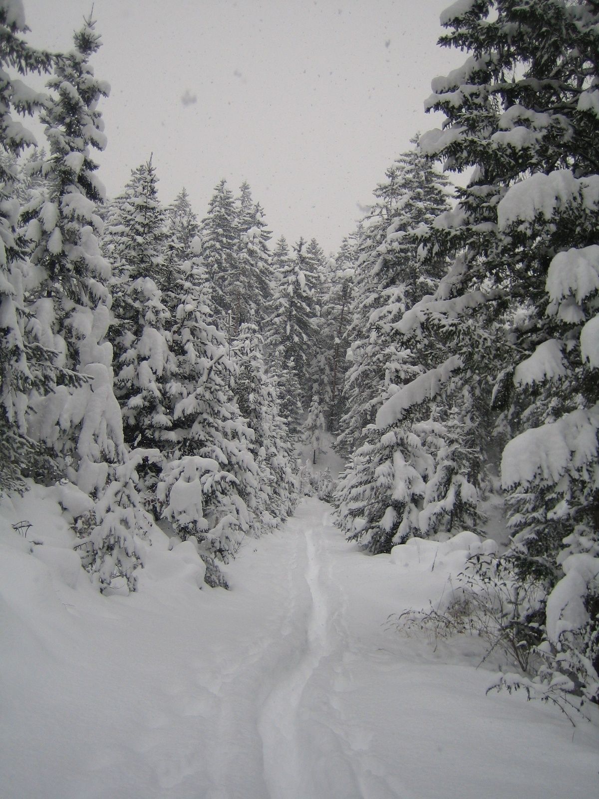
Snowshoe- Hike from the Glungezer to the Patscherkofel

Snežni čevlji
© Tourismusverband Region Hall-Wattens - Anne W.
- Kratek opis
-
Alpine tour that requires appropriate knowledge!
- Težavnost
-
težko
- Ocenjevanje
-
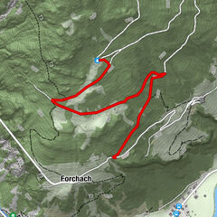
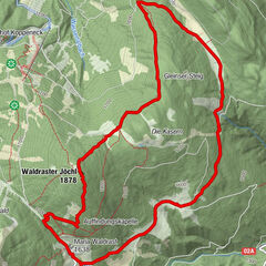
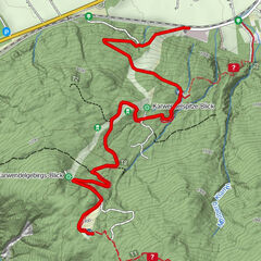
- Pot
-
Viggarspitze (2.306 m)2,0 kmBoscheben3,6 km
- Najboljša sezona
-
avgsepoktnovdecjanfebmaraprmajjunjul
- Najvišja točka
- 2.509 m
- Destinacija
-
Patscherkofel Igls
- Profil nadmorske višine
-

- Avtor
-
Turneja Snowshoe- Hike from the Glungezer to the Patscherkofel uporablja outdooractive.com na spletni strani ..
GPS Downloads


Splošne informacije
Postanek za osvežitev
Notranji nasvet
Obetavno
Več izletov v regijah