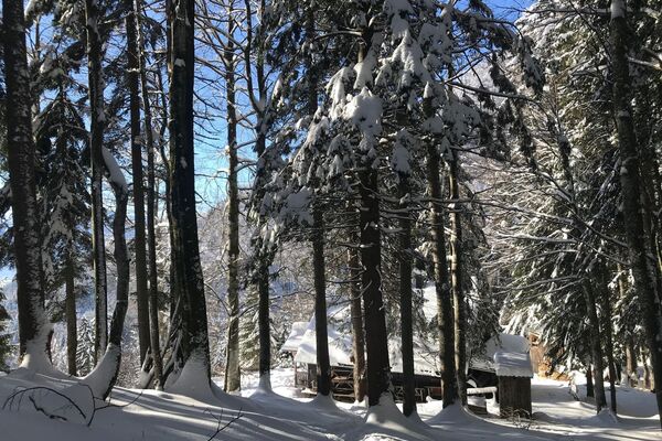
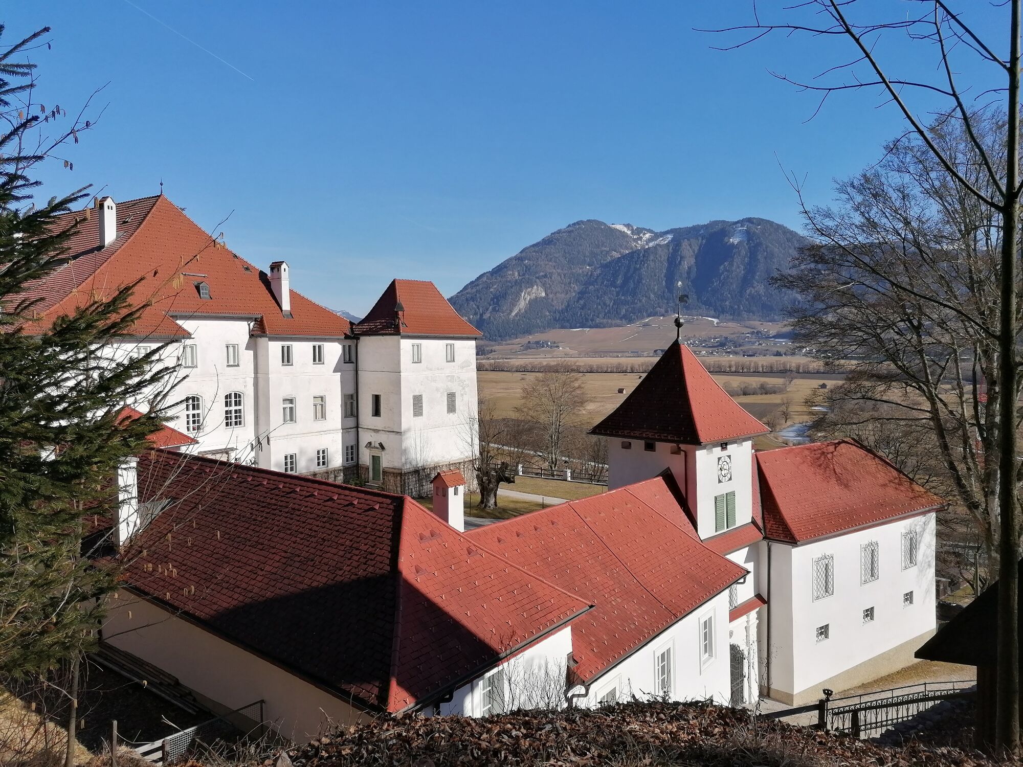
© Erlebnisregion Schladming-Dachstein - Barbara Luidold
- Kratek opis
-
A fine afternoon hike to enjoy the winter. Whether you take the same path back through the forest or the easier accompanying path to the main road is up to you.
- Težavnost
-
srednja
- Ocenjevanje
-
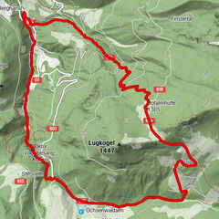
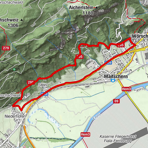
- Pot
-
WörschachGasthaus Weitgasser0,5 kmMaitschern0,6 kmRochus Kapelle2,9 kmNiederhofen3,2 kmStein3,6 kmMaitschern4,9 kmWörschach5,5 km
- Najboljša sezona
-
avgsepoktnovdecjanfebmaraprmajjunjul
- Najvišja točka
- 746 m
- Destinacija
-
At the starting point
- Profil nadmorske višine
-

- Avtor
-
Turneja Winter hike Fürstensteig uporablja outdooractive.com na spletni strani ..
GPS Downloads


Splošne informacije
Postanek za osvežitev
Več izletov v regijah