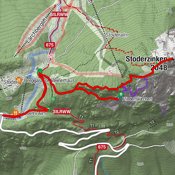
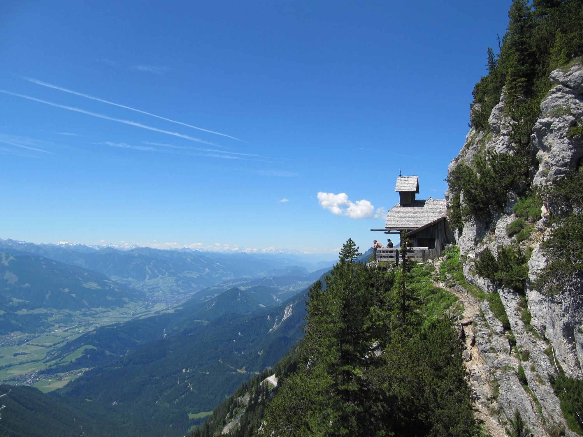
To the Friedenskircherl chapel and to Stoderzinken

Pohodništvo

© Erlebnisregion Schladming-Dachstein - Schladming Dachstein

© Erlebnisregion Schladming-Dachstein - Schladming Dachstein

© Erlebnisregion Schladming-Dachstein - Schladming Dachstein
- Kratek opis
-
Hike to the Friedenskirchlein in the footsteps of Peter Rosegger and to the summit of the Gröbminger and Aicher local mountains.
- Težavnost
-
srednja
- Ocenjevanje
-
- Pot
-
Rosemi Alm0,1 kmFriedenskircherl1,4 kmStoderzinken2,6 kmRosemi Alm4,5 km
- Najboljša sezona
-
janfebmaraprmajjunjulavgsepoktnovdec
- Najvišja točka
- 2.041 m
- Destinacija
-
Stoderzinken
- Profil nadmorske višine
-


-

-
AvtorTurneja To the Friedenskircherl chapel and to Stoderzinken uporablja outdooractive.com na spletni strani ..
GPS Downloads


Splošne informacije
Postanek za osvežitev
Flora
Favna
Obetavno
Več izletov v regijah
-
Schladming - Dachstein
3001
-
Haus - Aich
1364
-
Aich
275