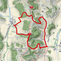
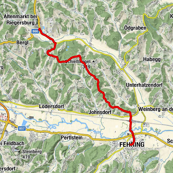
Stage 32 From Glacier to Wine North Route Riegersburg - Fehring


- Kratek opis
-
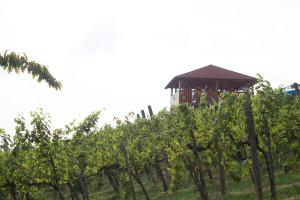
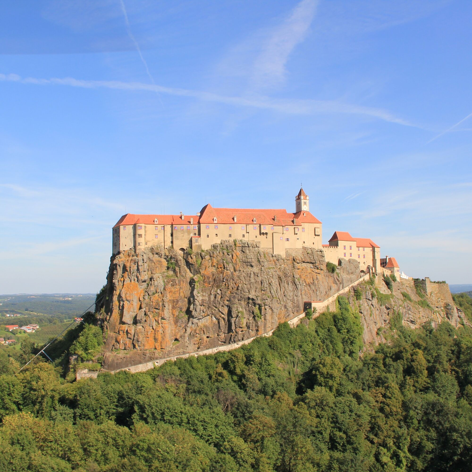
This stage of the hiking route "From Glacier to Wine" leads through forests, across meadows and past orchards from Riegersburg on the East Austrian Borderland Trail 07 southward into the Raab Valley, where the small town of Fehring awaits us. The meters in altitude as well as the kilometers to be covered are low, the landscape is lovely and in midsummer we are happy about the shady forests, which are always our companions on the way. Due to the shortness of the stage, we can take it easy and start with a visit to Riegersburg. Myths, adventures and eerie stories of times long past entwine around the castle, the impressive landmark of southeastern Styria. In all the centuries of its existence, the castle, situated on a mighty basalt cone with its now surrounding vineyards, could never be conquered.
- Težavnost
-
enostavno
- Ocenjevanje
-
- Pot
-
Riegersburg0,0 kmBuschenschank Christiner Hannes6,1 kmStückelberg6,7 kmRattenberg8,7 kmBrunn10,1 kmFehring12,1 km
- Najboljša sezona
-
janfebmaraprmajjunjulavgsepoktnovdec
- Najvišja točka
- 384 m
- Destinacija
-
Fehring
- Profil nadmorske višine
-


-

-
AvtorTurneja Stage 32 From Glacier to Wine North Route Riegersburg - Fehring uporablja outdooractive.com na spletni strani ..


Splošne informacije
-
Thermen- & Vulkanland
1324
-
Feldbach
408
-
Pertlstein
181