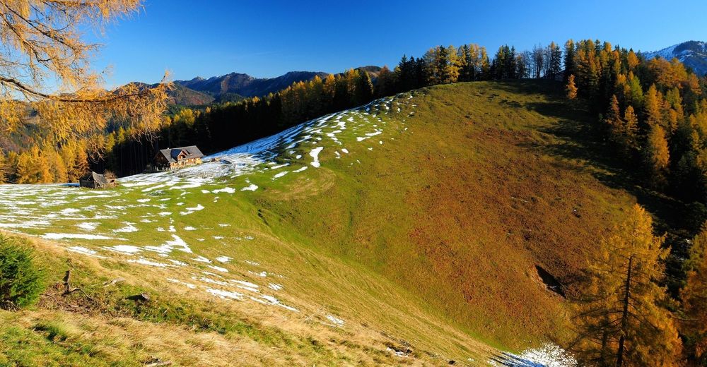
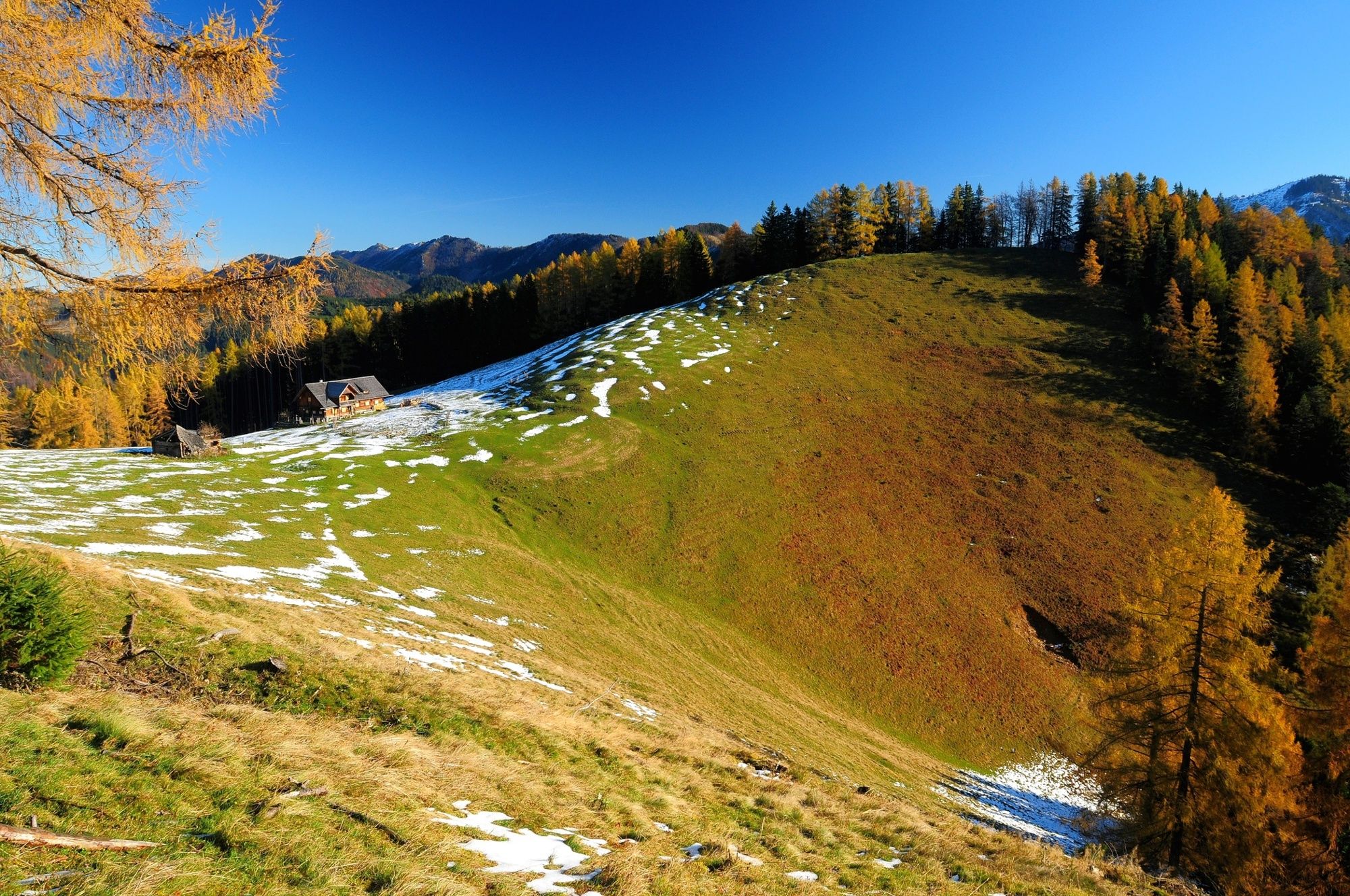
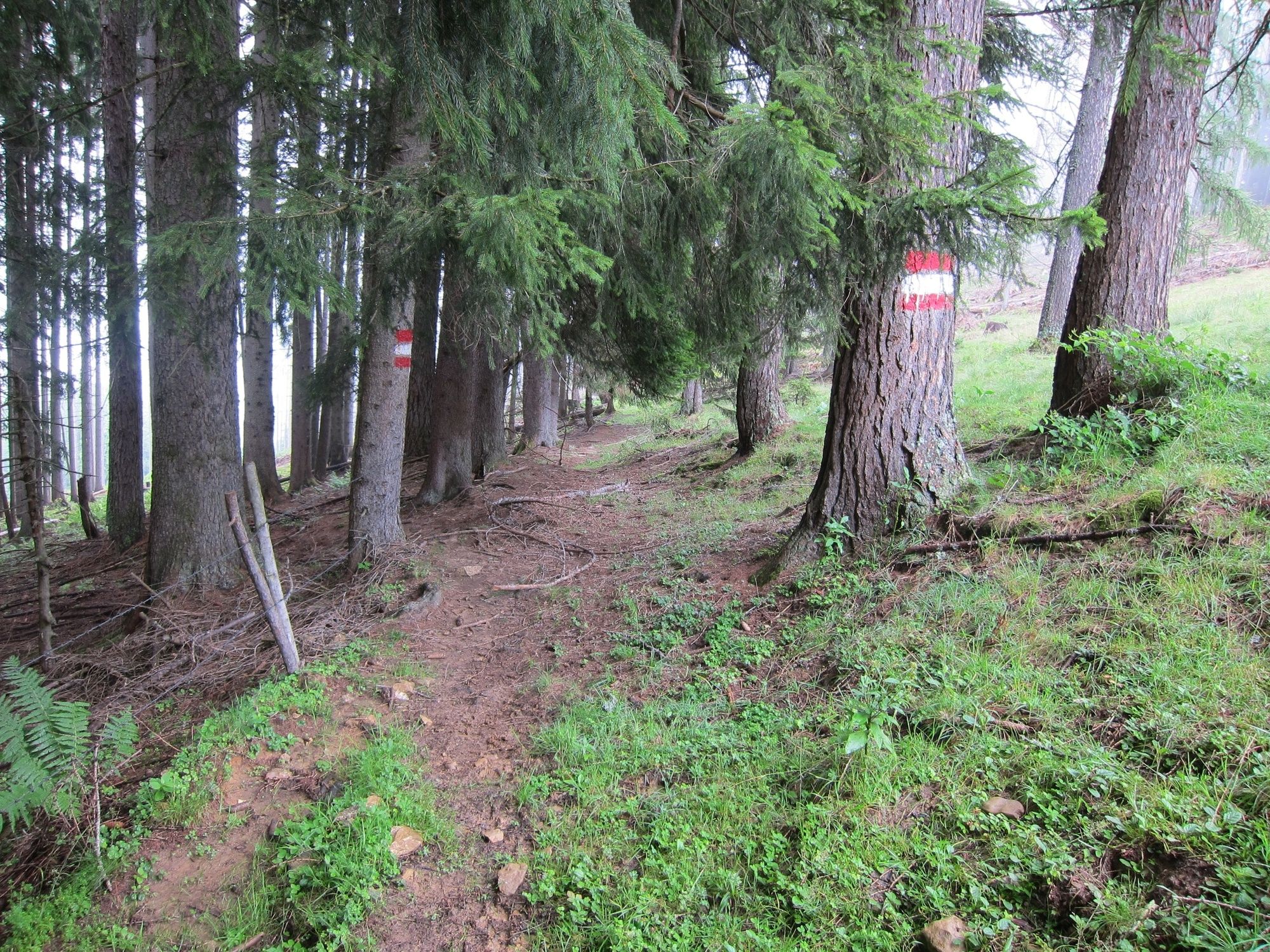
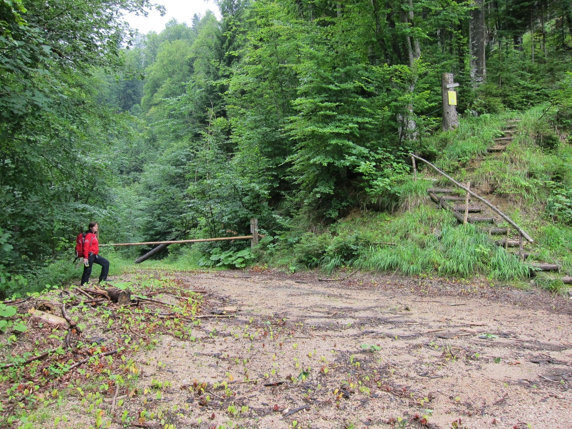
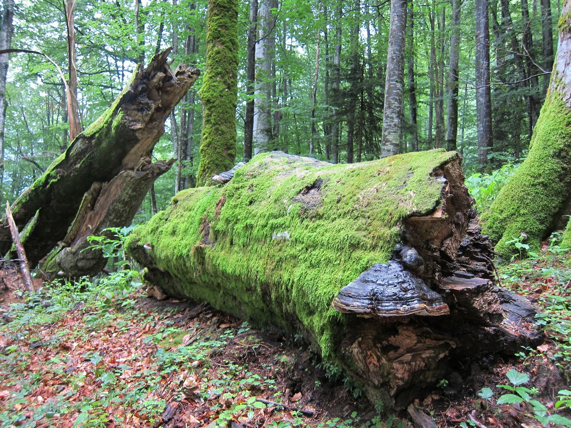
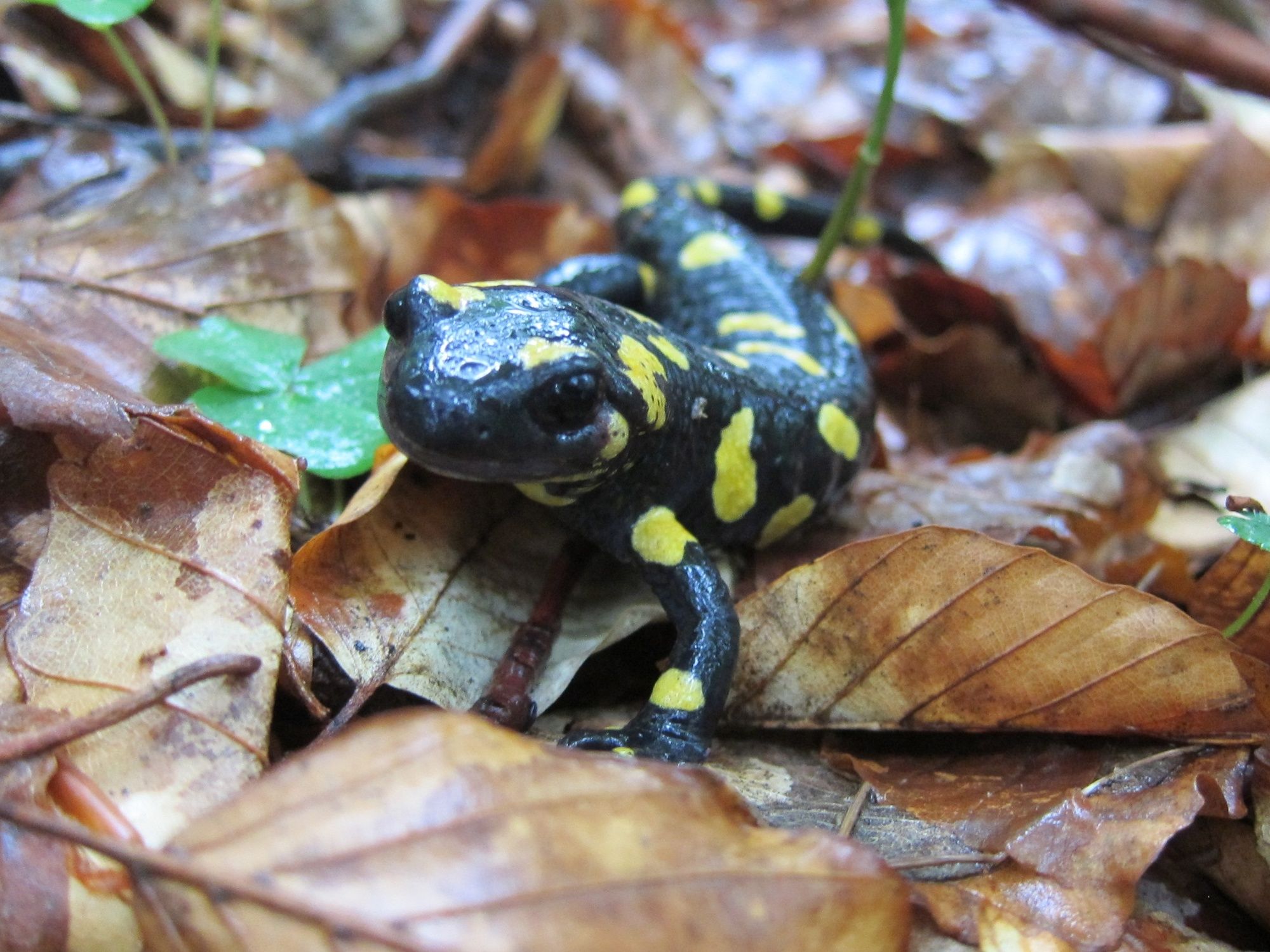
Blahbergalm ab Weißwasser, Reichraminger Hintergebirge

Pohodništvo
© Nationalpark Kalkalpen - <a href="http://www.kalkalpen.at">Nationalpark Kalkalpen</a>

© Nationalpark Kalkalpen - <a href="http://www.kalkalpen.at">Nationalpark Kalkalpen</a>

© Nationalpark Kalkalpen - <a href="http://www.kalkalpen.at">Nationalpark Kalkalpen</a>

© Nationalpark Kalkalpen - <a href="http://www.kalkalpen.at">Nationalpark Kalkalpen</a>

© Nationalpark Kalkalpen - <a href="http://www.kalkalpen.at">Nationalpark Kalkalpen</a>

© Nationalpark Kalkalpen - <a href="http://www.kalkalpen.at">Nationalpark Kalkalpen</a>

- Kratek opis
-
Weltnaturerbe erleben!
Wanderung von Weißwasser über Knappensteig zur Blahbergalm - Težavnost
-
srednja
- Ocenjevanje
-
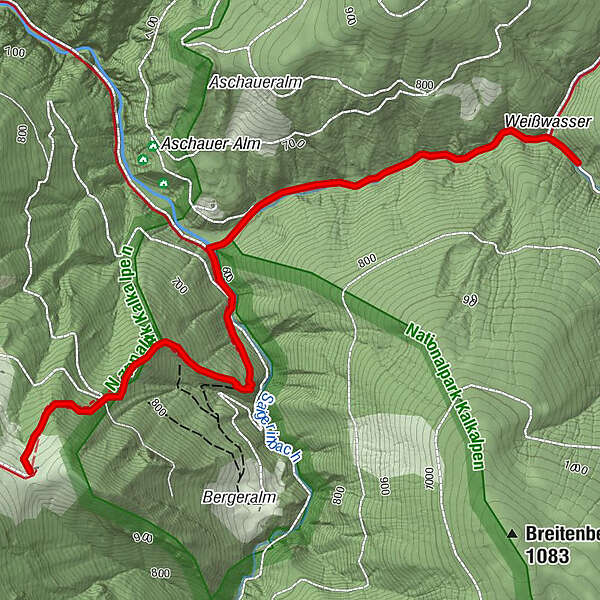
- Pot
-
Weißwasser0,1 kmWeißwasser2,0 kmBlahbergalm3,9 km
- Najboljša sezona
-
janfebmaraprmajjunjulavgsepoktnovdec
- Najvišja točka
- 1.037 m
- Destinacija
-
Blahbergalm
- Profil nadmorske višine
-

- Avtor
-
Turneja Blahbergalm ab Weißwasser, Reichraminger Hintergebirge uporablja outdooractive.com na spletni strani ..
GPS Downloads


Splošne informacije
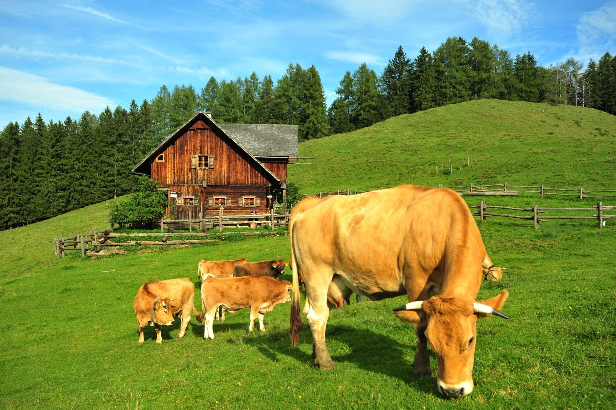
Postanek za osvežitev
Kulturni/Zgodovinski
Več izletov v regijah
-
Gesäuse
2223
-
Steyr und die Nationalpark Region
1371
-
St. Gallen
174


