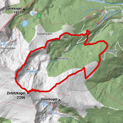
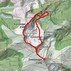
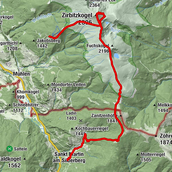
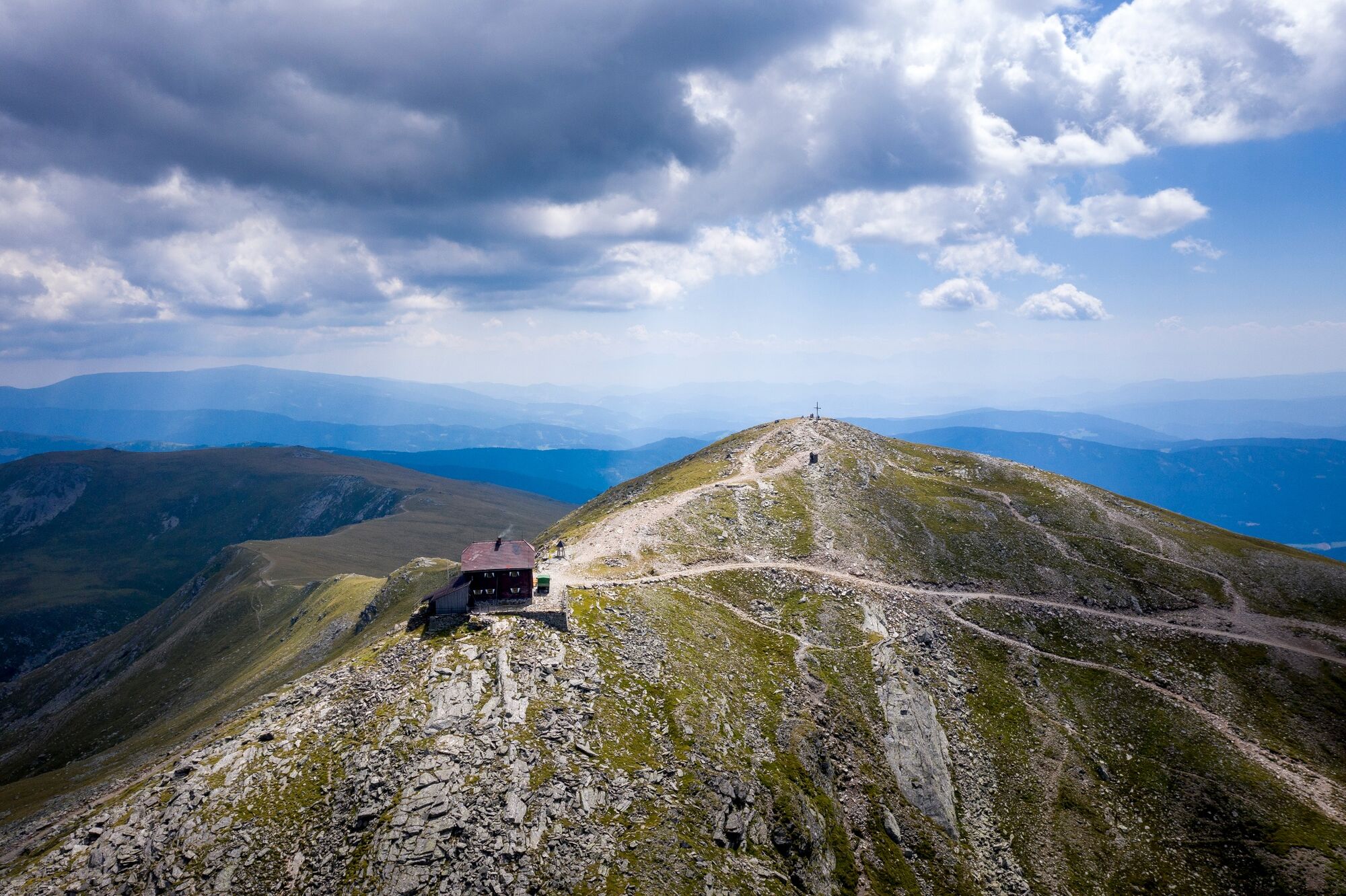
From the Tonnerhütte over the Zirbitzkogel to St. Martin am Silberberg

Pohodništvo

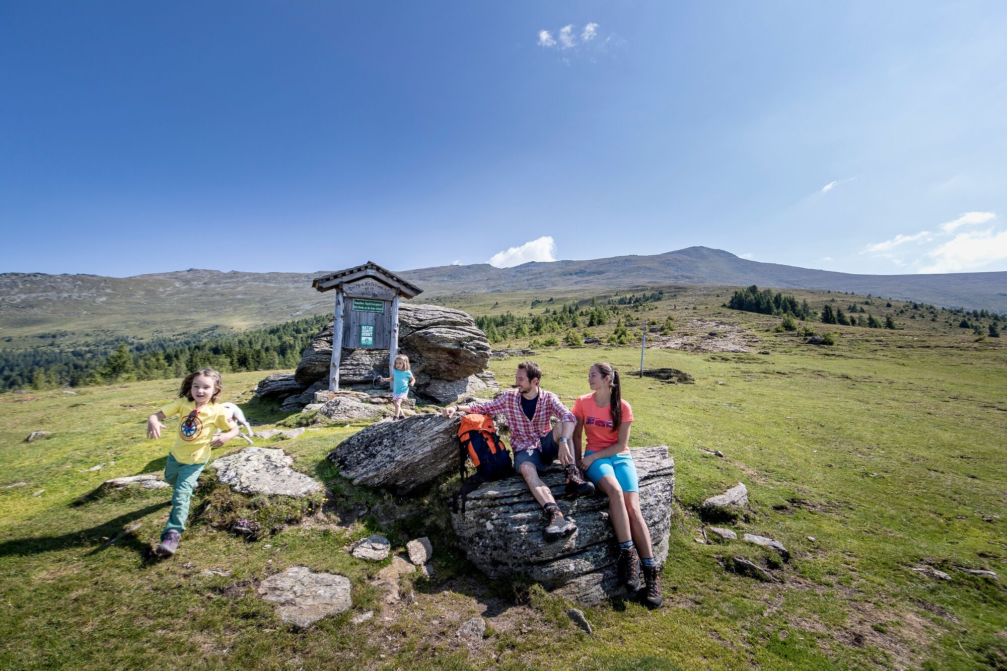
© Tourismusverband Region Murau - Tom Lamm

© Tourismusverband Region Murau - Tom Lamm

© Tonnerhütte - Katharina PIROLT

© Tonnerhütte - Katharina Pirolt

- Kratek opis
-
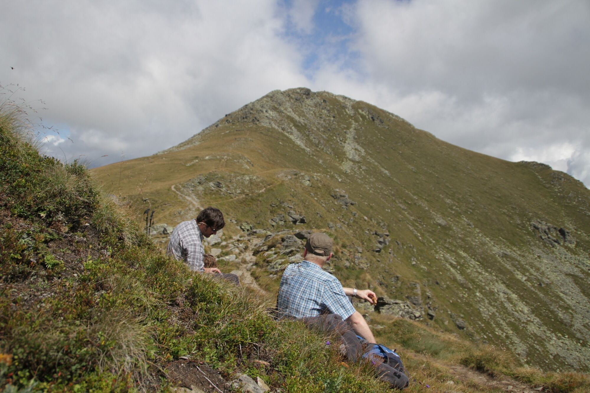
A wonderful hike with fantastic landscape backdrops and one or two places to linger.
- Težavnost
-
težko
- Ocenjevanje
-
- Pot
-
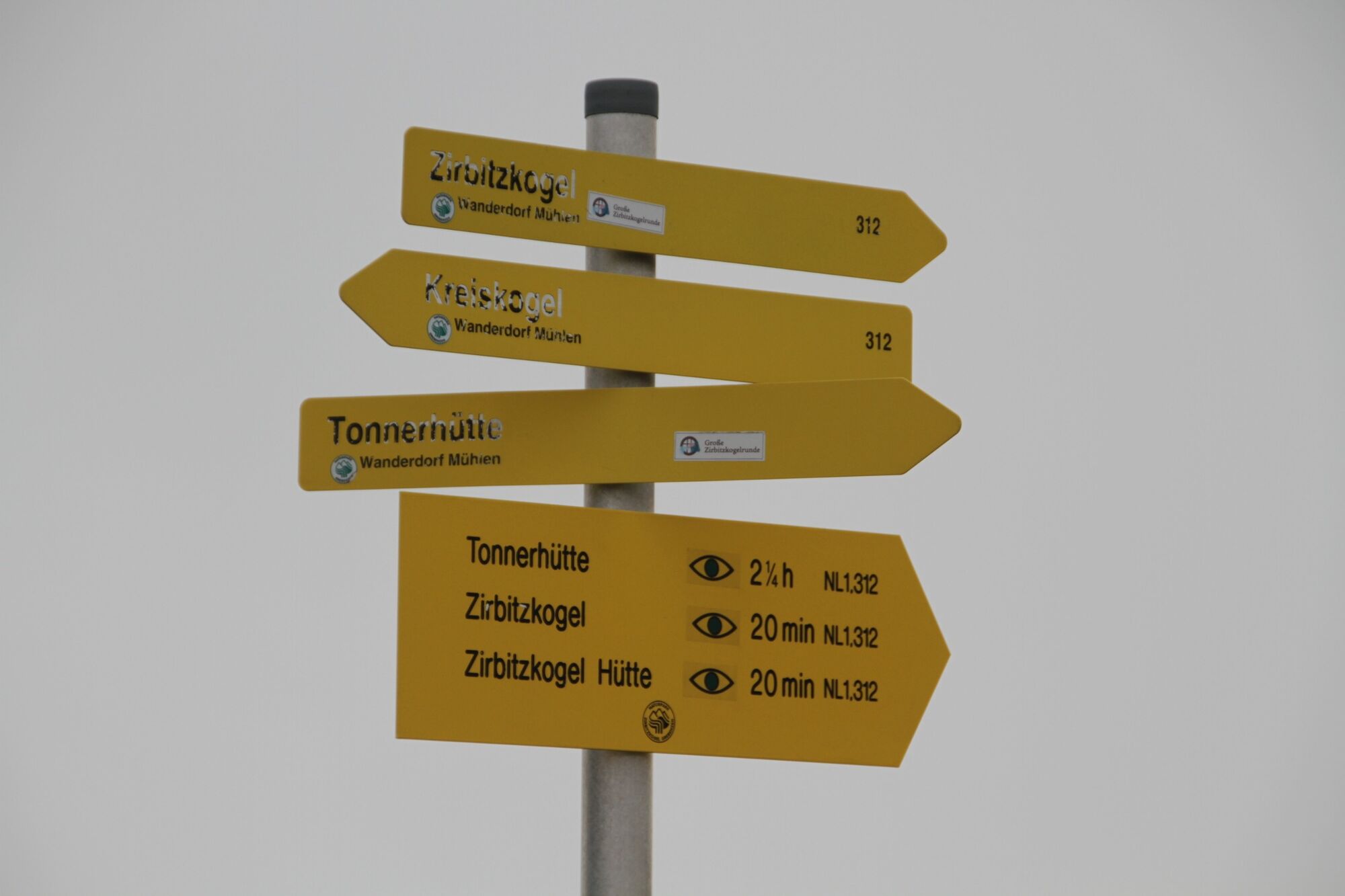
Tonnerhütte0,1 kmZirbitzkogel (2.396 m)4,3 kmZirbitzkogel Schutzhaus4,3 kmSt. Martiner Hütte13,0 kmHinterberg17,1 kmSankt Martin am Silberberg18,6 km
- Najboljša sezona
-
janfebmaraprmajjunjulavgsepoktnovdec
- Najvišja točka
- 2.356 m
- Destinacija
-
Town center of St. Martin am Silberberg
- Profil nadmorske višine
-

- Avtor
-
Turneja From the Tonnerhütte over the Zirbitzkogel to St. Martin am Silberberg uporablja outdooractive.com na spletni strani ..
GPS Downloads


Splošne informacije
Postanek za osvežitev
Obetavno
Več izletov v regijah