Krakauer Törl - hike at the foot of the Preber

Pohodništvo


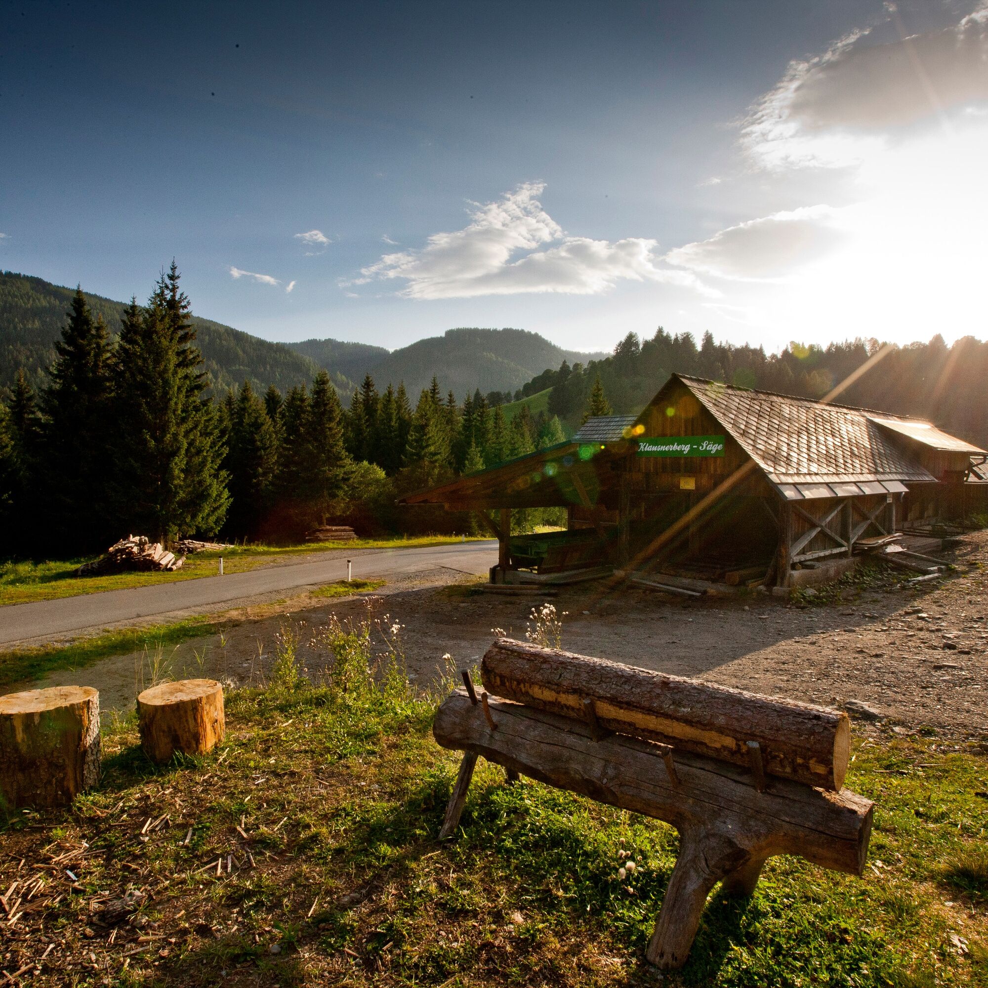
© Holzwelt Murau / Tom Lamm - Holzwelt Murau


- Kratek opis
-
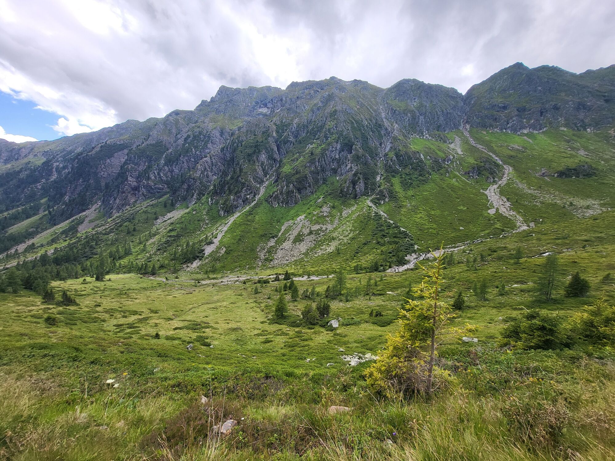
This hike includes rushing waterfalls, fascinating views of the North and... South side of the Schladminger Tauern, as well as crystal clear, sparkling mountain lakes.
- Težavnost
-
težko
- Ocenjevanje
-
- Pot
-
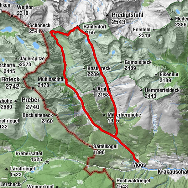
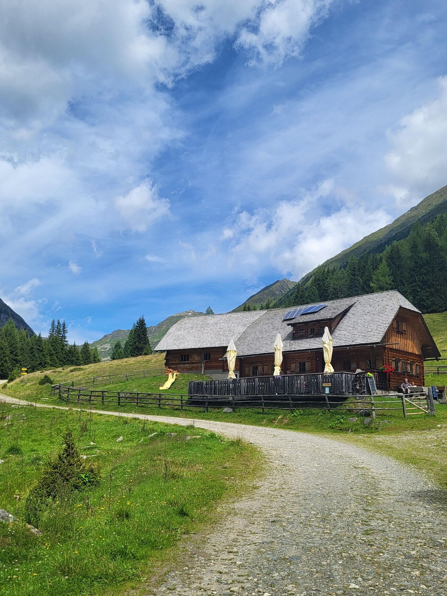
MoosBahnhof1,8 kmMoarhütte6,0 kmMöslhütte6,3 kmPrebertörl (2.194 m)9,5 kmRantentörl (2.166 m)11,2 kmEbenhandlhütte16,0 kmBahnhof18,2 kmMoos20,1 km
- Najboljša sezona
-
janfebmaraprmajjunjulavgsepoktnovdec
- Najvišja točka
- 2.277 m
- Destinacija
-
Klausnerberg-Säge, Krakauebene
- Profil nadmorske višine
-


- Avtor
-
Turneja Krakauer Törl - hike at the foot of the Preber uporablja outdooractive.com na spletni strani ..
GPS Downloads


Splošne informacije
Postanek za osvežitev
Obetavno
Več izletov v regijah


