


Mandling route (SW06)
Fotografije naših uporabnikov

 © Hans Peter KuenUstvarjeno na 12.06.2023
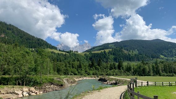 © Hans Peter KuenUstvarjeno na 12.06.2023
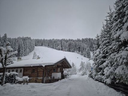
 © Eva SteffnerUstvarjeno na 07.12.2024
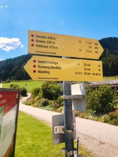
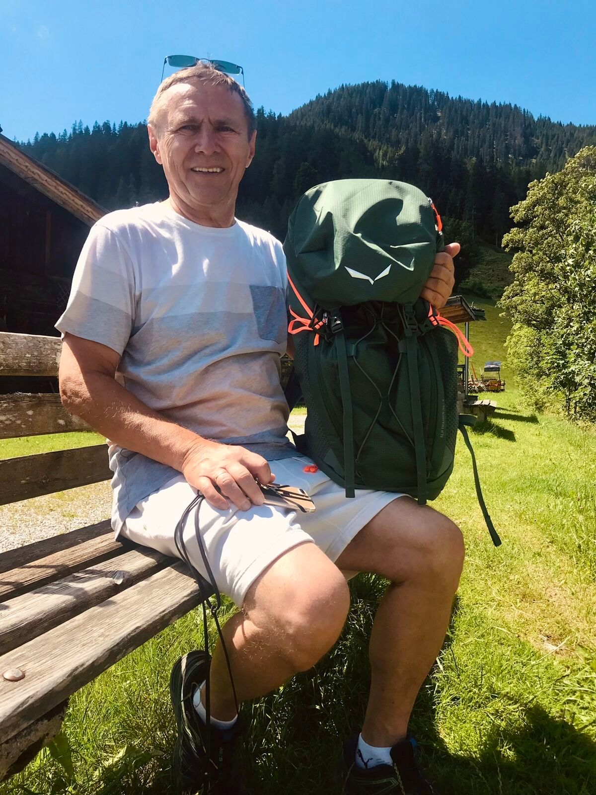
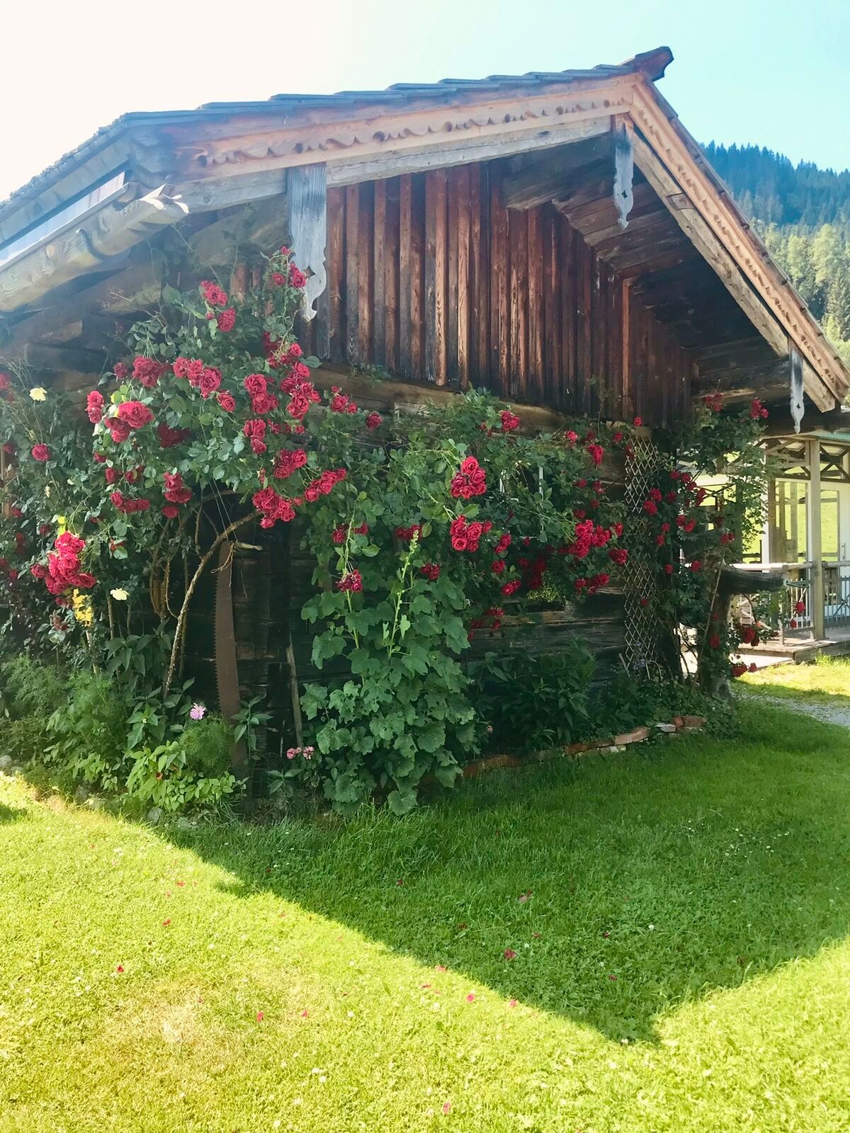
 © Kellner HeidiUstvarjeno na 03.07.2022
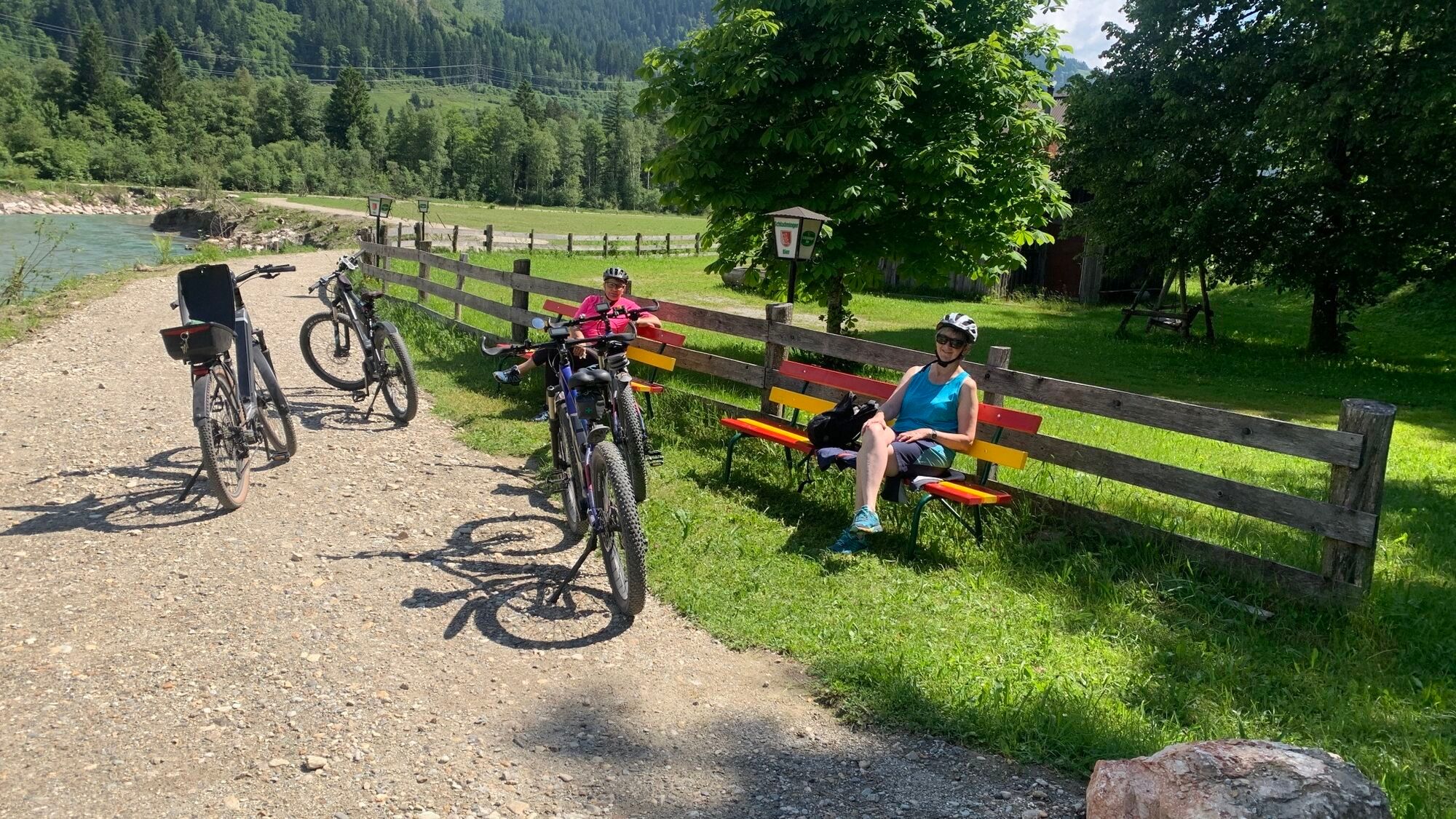
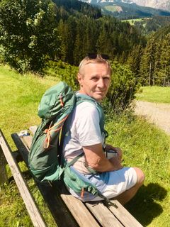 © Kellner HeidiUstvarjeno na 03.07.2022
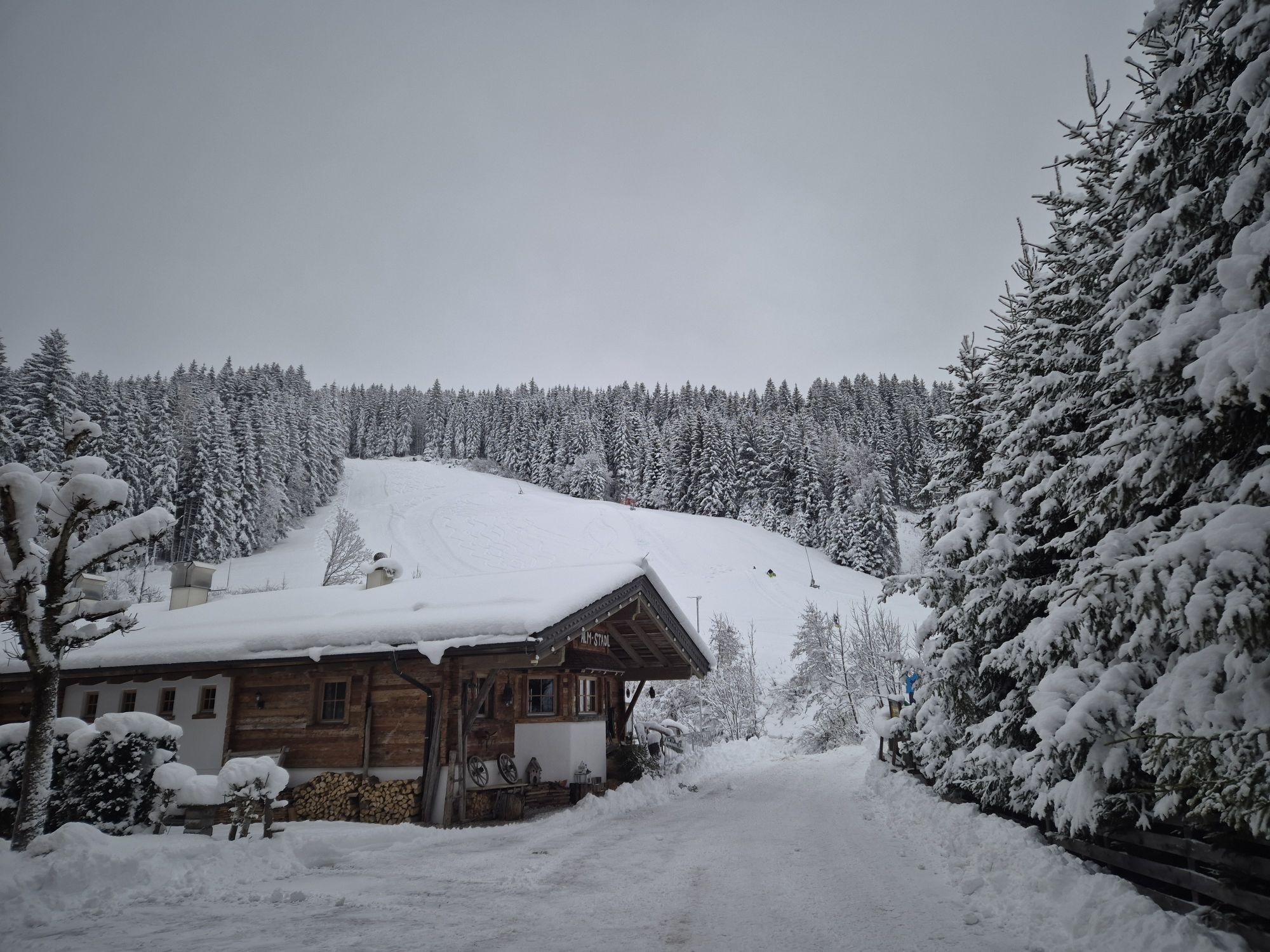
 © Kellner HeidiUstvarjeno na 03.07.2022
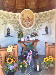 © Kellner HeidiUstvarjeno na 03.07.2022
 © Kellner HeidiUstvarjeno na 03.07.2022
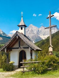 © Kellner HeidiUstvarjeno na 03.07.2022
 © Kellner HeidiUstvarjeno na 03.07.2022

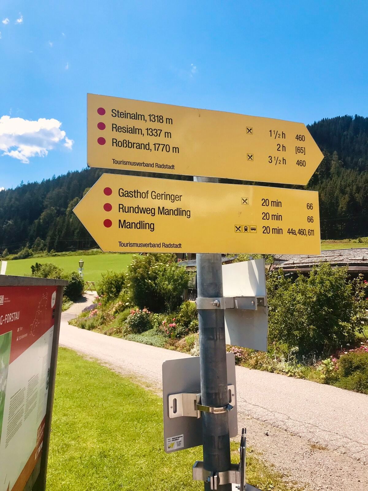


From Filzmoos we follow the state road L219 towards Ramsau along the Mandling mountain stream until after 1.6km we turn right onto a forest road. In the forest terrain, we ride steadily uphill until at...
From Filzmoos we follow the state road L219 towards Ramsau along the Mandling mountain stream until after 1.6km we turn right onto a forest road. In the forest terrain, we ride steadily uphill until at the highest point of the route at around 1200m we take the left turn. An exciting descent awaits us, passing nicely located hamlets down to the Enns valley. At the valley floor, we follow the Enns bike path until after the underpass in Mandling we turn left and ride a short section on the B320, the Ennstal federal road, heading west. Soon, however, we leave the federal road and ride up a steeply ascending road to the snack station Latschenstüberl/Mandlberggut, where you can enjoy various homemade delicacies but also visit the local mountain pine and schnapps distillery. Through the forests, it goes on well-ridable forest roads up towards Filzmoos, the last stretch on the same path as on the outbound journey.

From Filzmoos we follow the state road L219 towards Ramsau along the Mandling mountain stream until after 1.6km we turn right onto a forest road. In the forest terrain, we ride steadily uphill until at the highest point of the route at around 1200m we take the left turn. An exciting descent awaits us, passing nicely located hamlets down to the Enns valley. At the valley floor, we follow the Enns bike path until after the underpass in Mandling we turn left and ride a short section on the B320, the Ennstal federal road, heading west. Soon, however, we leave the federal road and ride up a steeply ascending road to the snack station Latschenstüberl/Mandlberggut, where you can enjoy various homemade delicacies but also visit the local mountain pine and schnapps distillery. Through the forests, it goes on well-ridable forest roads up towards Filzmoos, the last stretch on the same path as on the outbound journey.
Da
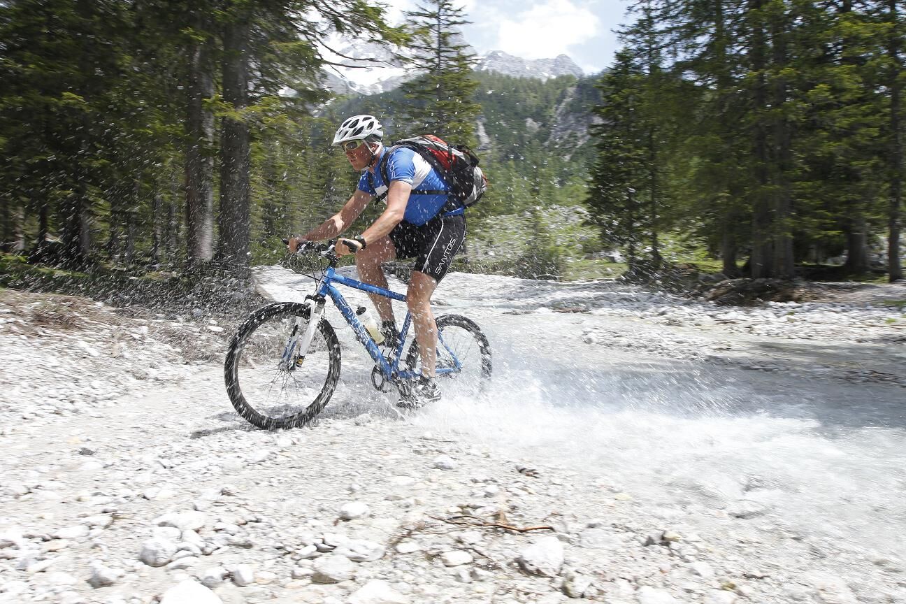
Sun and rain protection, helmet, cycling map material, plenty of drinking water.
In case of emergency, please call: No. 140 - Mountain Rescue No. 112 - Euro Emergency Number
Via Filzmoos state road.
By post bus line 521 to the stop "Filzmoos village center".
Parking available at the parking lot opposite the gas station.
Spletne kamere s turneje
Rossbrand
Ramsau am Dachstein / Leiten
Talstation Reiteralm - Gondelbahn Silver Jet
Radstadt - Simonyhof
Aparthotel Jagdhof Filzmoos
Aparthotel Jagdhof Filzmoos
Preunegg Jet Talstation
Bergstation 6er-Sesselbahn
Radstadt - Wasserwerk
Ramsau am Dachstein - Rittisberg Beach
Papageno Bergstation
Papageno Bergstation
Papageno Bergstation
Papageno Bergstation
Papageno Bergstation
Papageno Bergstation
Papageno Bergstation
Papageno Bergstation
Radstadt - Rossbrand
Bergstation 6er-Sesselbahn
Ferienanlage Reithof
Bergstation 6er-Sesselbahn
Bergstation 6er-Sesselbahn
Bergstation 6er-Sesselbahn
Bergstation 6er-Sesselbahn
Bergstation 6er-Sesselbahn
Bergstation 6er-Sesselbahn
Bergstation 6er-Sesselbahn
Priljubljeni izleti v okolici
- 4,3
Filzmoos: Rötelstein (Rettenstein)
Pohodništvo 9,50 km - 4,8
4-Jahreszeiten Wanderweg
srednjaZimsko pohodništvo 5,94 km - 4,7
Tour around the Gosaukamm
srednjaPohodništvo 20,9 km - 4,7
Tour around the Lake Gosau
svetlobaPohodništvo 4,43 km - 4,7
Planai Runde | 304
srednjaMountainbike 34,1 km - 4,7
Tor-Wanderung
težkoPohodništvo 14,2 km - 4,6
Ski route Lackenkogel
srednjaSmučarska tura 7,82 km - 4,5
Adamekhütte vom Vorderen Gosausee
srednjaPohodništvo 23,2 km - 4,4
Ramsau am Dachstein: Steinerne Jungfrauen
Pohodništvo 8,11 km - 4,9
Das Trippel in der Silberkarklamm
srednjaVia ferrata 6,70 km
Pohodništvo in sledenje


Ne zamudite ponudb in navdiha za naslednje počitnice
Vaš e-poštni naslov je bil dodan na poštni seznam.