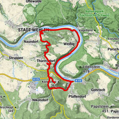
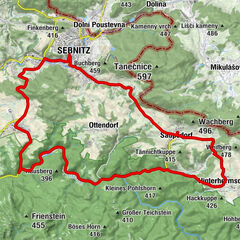
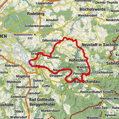
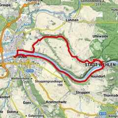
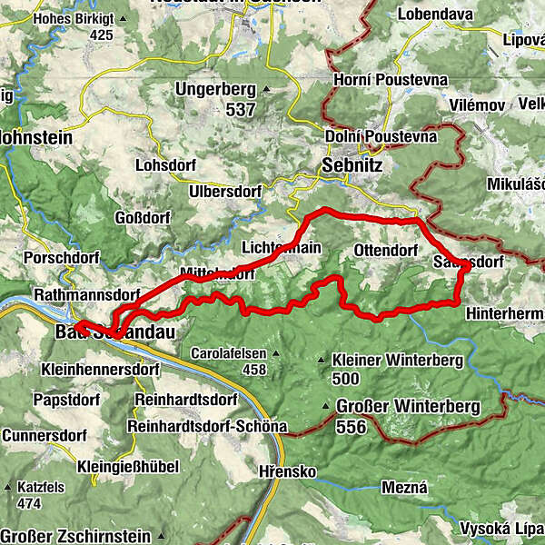
Handbike tour "Along the Hohe Straße" (barrier-free)

Kolesarjenje

© Tourismusverband Sächsische Schweiz - Karin Jaehn - fotolia.com
- Kratek opis
-
Barrier-free tour for hand bikers: Outstanding tour, which is particularly recommended because of the fantastic panorama over a large part of the Hintere Sächsische Schweiz.
- Pot
-
Bad Schandau0,0 kmBad Schandau (146 m)2,0 kmWaldhäus'l4,4 kmOstrauer Mühle5,5 kmFlößerstube5,8 kmRestaurant Forsthaus6,9 kmBeuthenfall9,5 kmRichters Born9,7 kmGasthof Lichtenhainer Wasserfall10,2 kmLichtenhainer Wasserfall10,3 kmFelsenmühle14,3 kmNeumannmühle Berghütte15,0 kmGasthaus Buschmühle15,3 kmBuschmühlenturm15,5 kmSaupsdorf (347 m)19,7 kmRichtermühle21,0 kmLichtenhain (320 m)27,9 kmMárnice28,3 kmBowlingbahn und Gaststätte Lichtenhain28,4 kmMittelndorf30,5 kmGaststätte & Pension Am Weinberg30,6 kmAltendorf32,2 kmPension & Gasthaus Heiterer Blick32,3 kmWustmanndörfel33,9 kmZauke34,5 kmBad Schandau (146 m)35,3 kmBad Schandau37,1 km
- Najboljša sezona
-
janfebmaraprmajjunjulavgsepoktnovdec
- Najvišja točka
- 420 m
- Destinacija
-
National Park train station Bad Schandau
- Profil nadmorske višine
-
 © outdooractive.com
-

-
AvtorTurneja Handbike tour "Along the Hohe Straße" (barrier-free) uporablja outdooractive.com na spletni strani ..
GPS Downloads


Več izletov v regijah