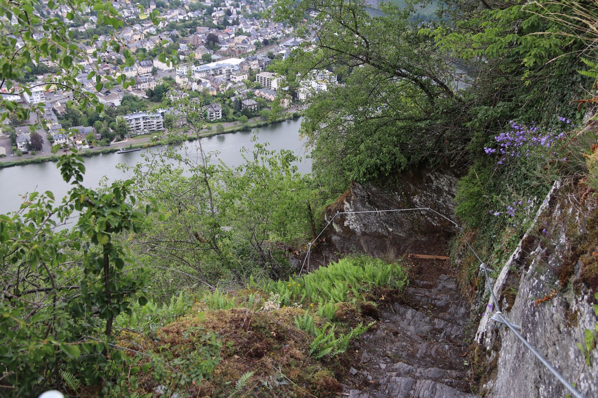
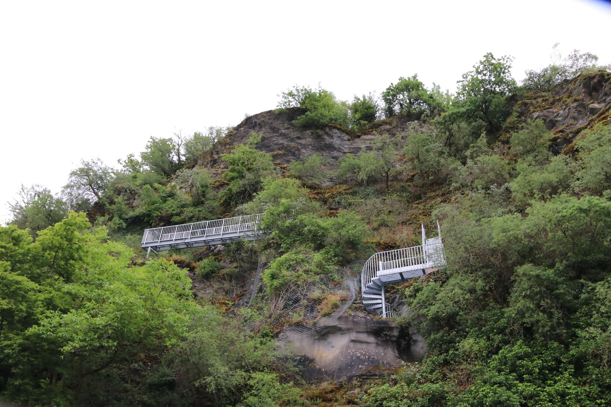
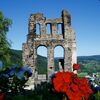
Franzosensteig - a historic hiking and climbing trail from the banks of the Moselle to the Hunsrückhöhe

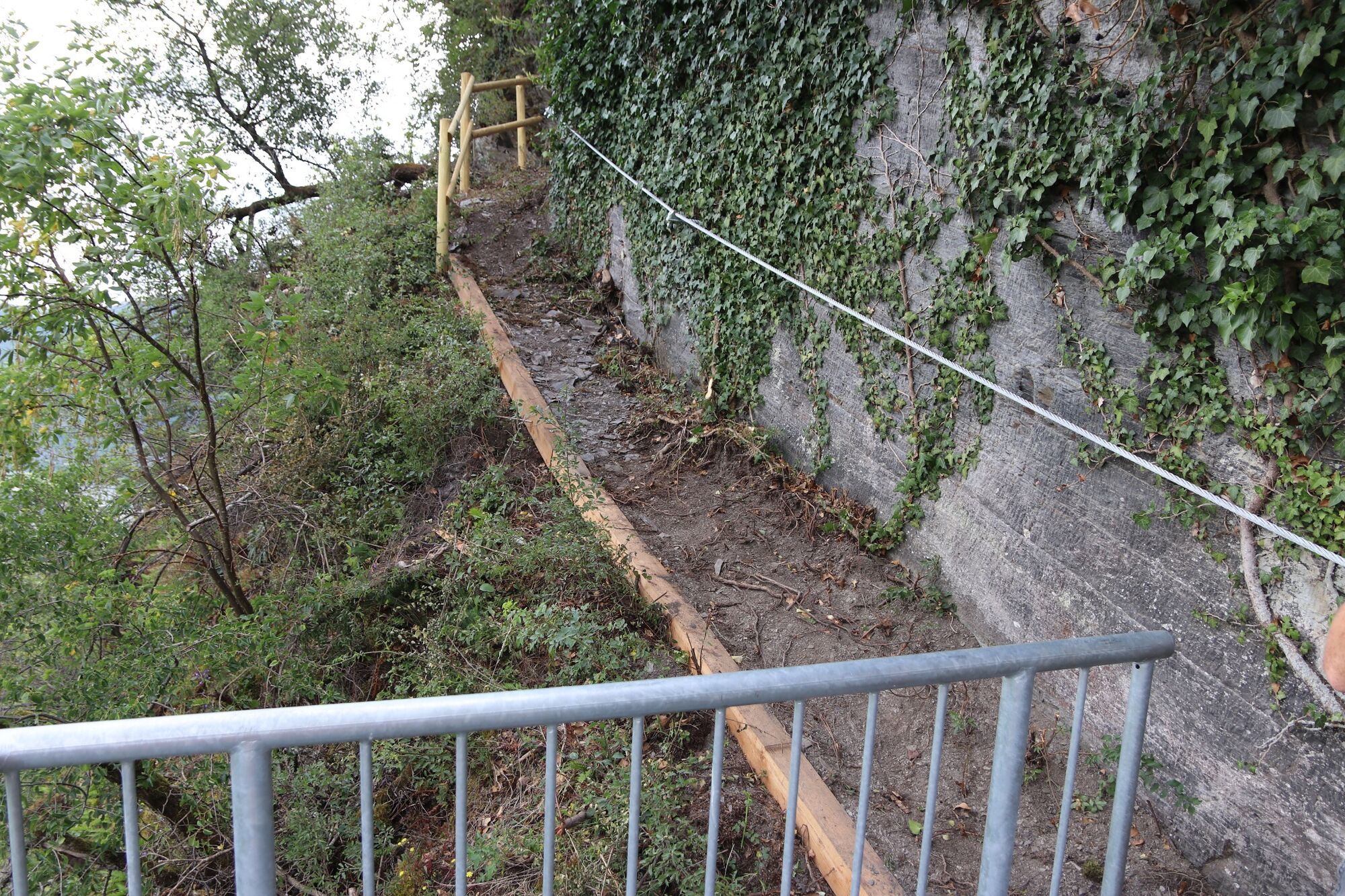
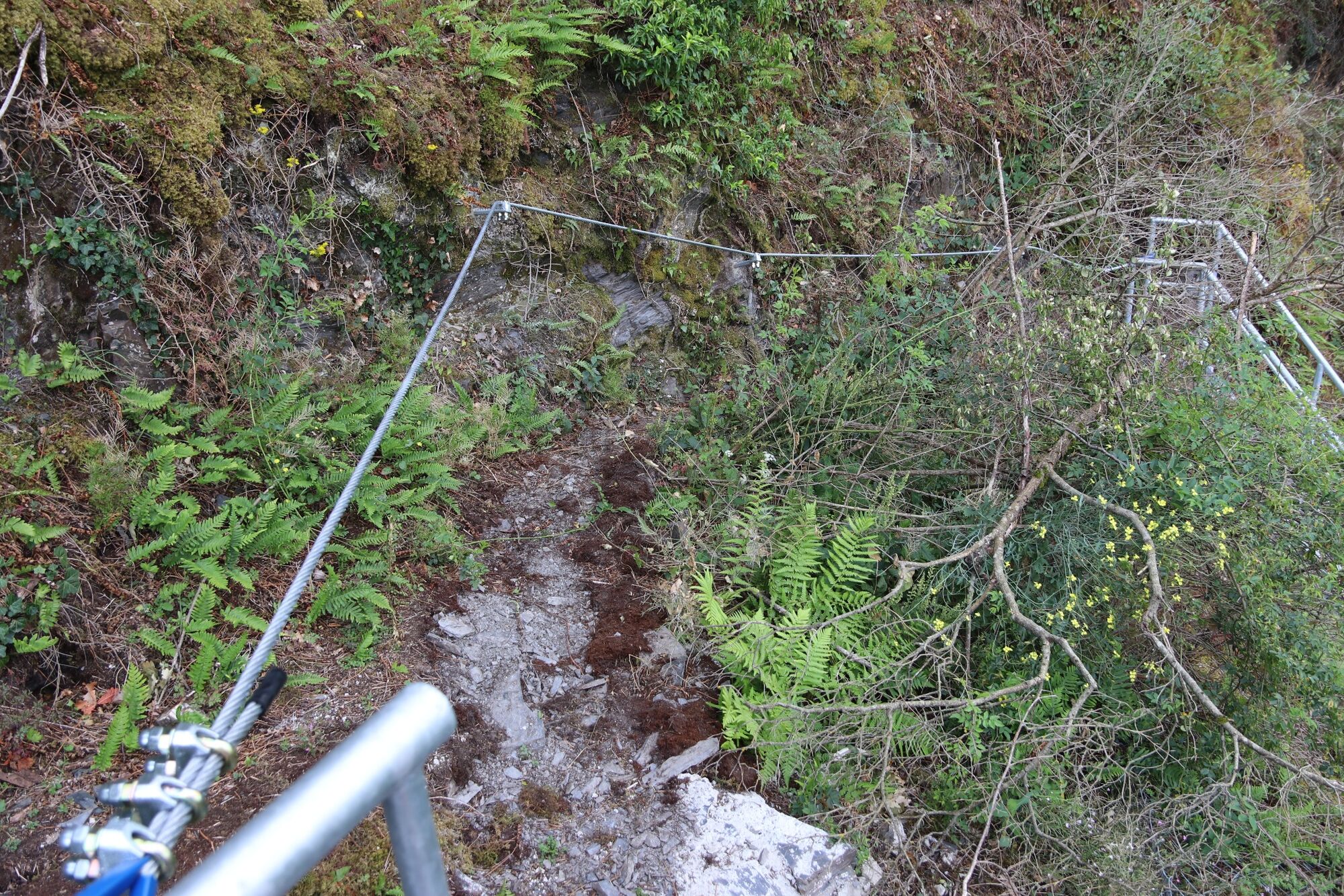
Via ferrata

© Moselregion Traben-Trarbach Kröv - Kirsten Haag

© Outdooractive – 3D Videos

© Carina Steffen

© Moselregion Traben-Trarbach Kröv - Kirsten Haag

© Moselregion Traben-Trarbach Kröv - Kirsten Haag

© Moselregion Traben-Trarbach Kröv - Kirsten Haag

© Moselregion Traben-Trarbach Kröv - Kirsten Haag

© Moselregion Traben-Trarbach Kröv - Becker Werbung

© Trägerverein Naturpark Soonwald-Nahe e.V. - Naturpark Soonwald-Nahe

© G. Weyrich
Datumi turnej
1,96km
104
- 238m
123hm
124hm
01:15h
- Stopnja težavnosti
- A

- Kratek opis
-
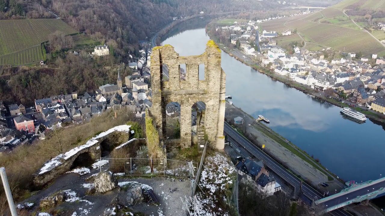
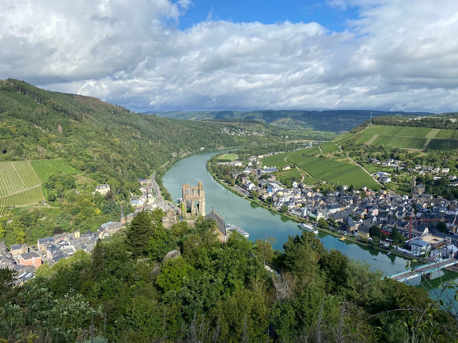
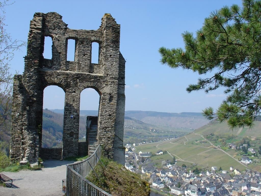
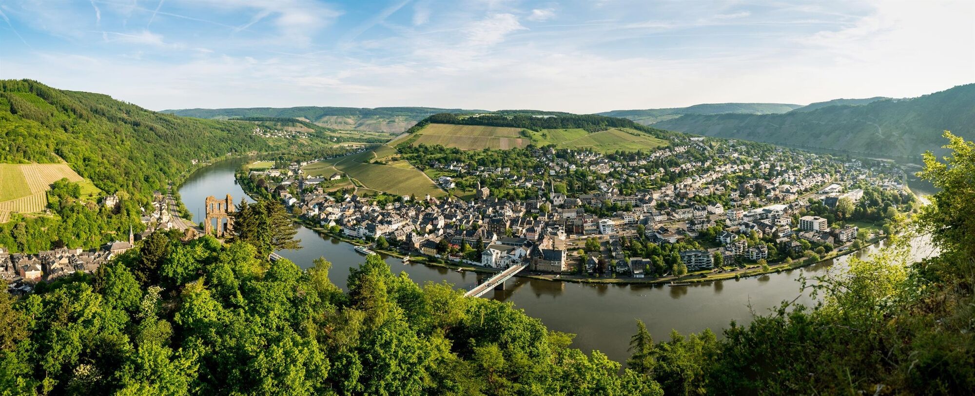
A small but fine circular route that is really something! The ascent is rewarded with breathtaking views of the magnificent Moselle landscape!
- Težavnost
-
srednjaStopnja težavnosti A
- Ocenjevanje
-
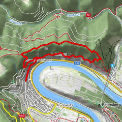
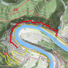
- Pot
-
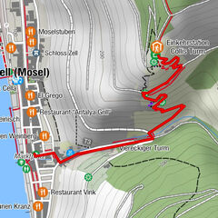
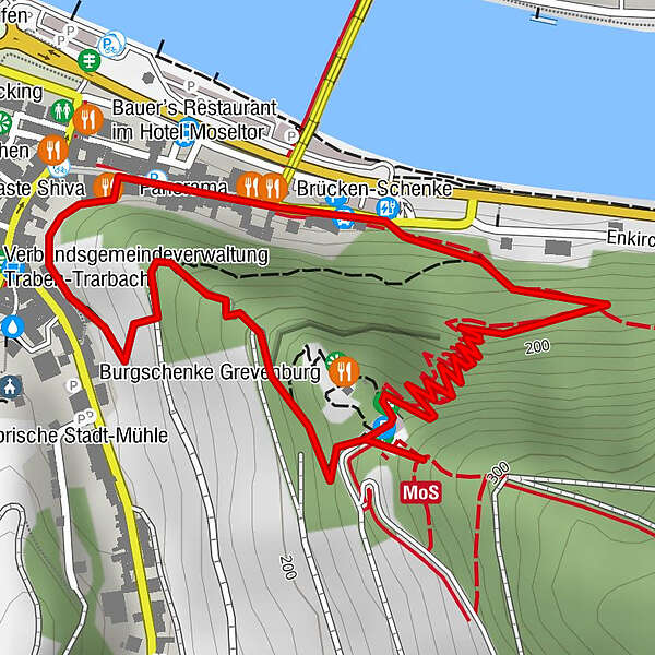
Kriegerdenkmal0,5 kmTraben-Trarbach1,6 km
- Najboljša sezona
-
janfebmaraprmajjunjulavgsepoktnovdec
- Najvišja točka
- 238 m
- Destinacija
-
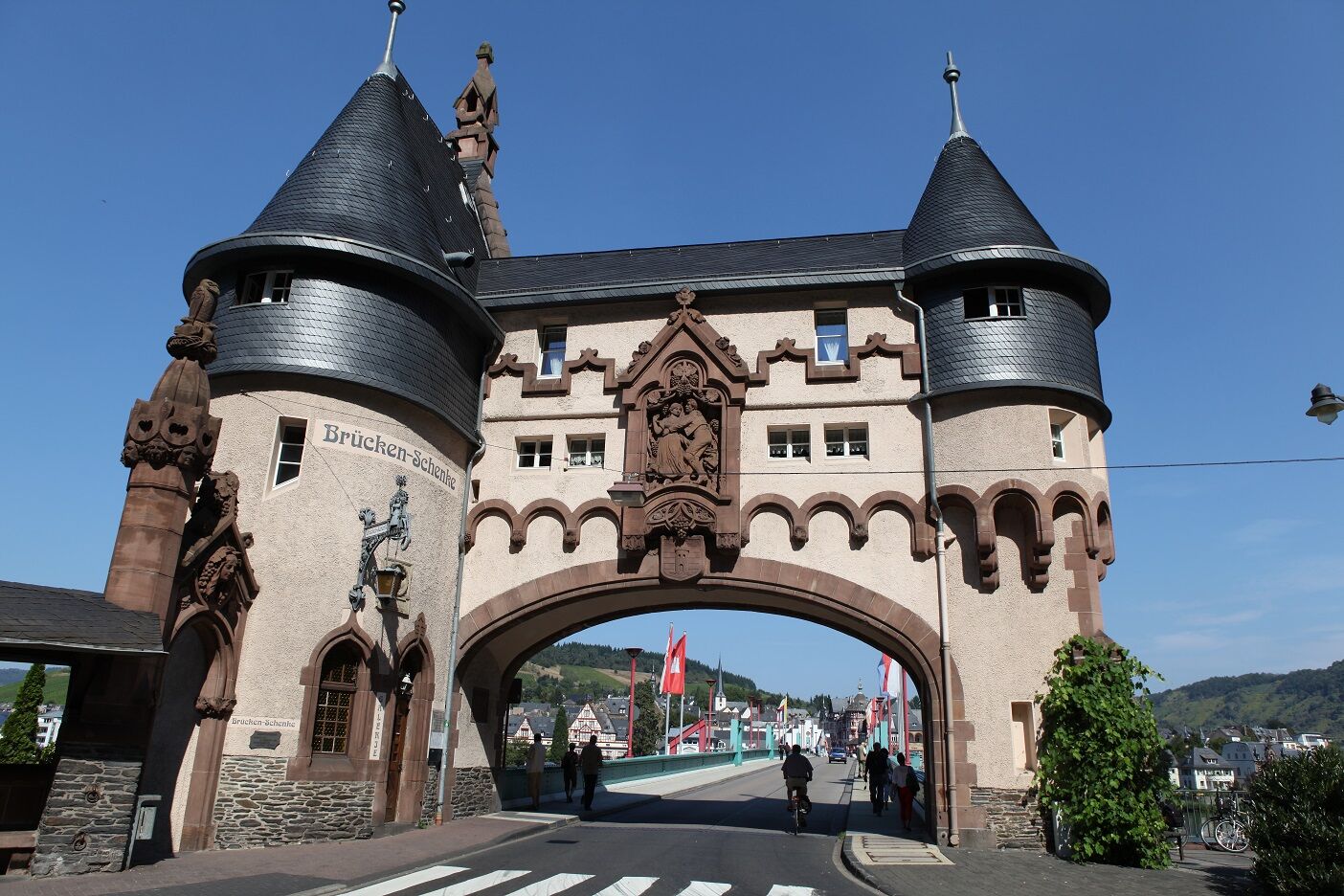
Traben-Trarbach bridge gate
- Profil nadmorske višine
-
 © outdooractive.com
-
-
AvtorTurneja Franzosensteig - a historic hiking and climbing trail from the banks of the Moselle to the Hunsrückhöhe uporablja outdooractive.com na spletni strani ..
GPS Downloads


Splošne informacije
Postanek za osvežitev
Kulturni/Zgodovinski
Notranji nasvet
Obetavno
Več izletov v regijah
-
Mosel-Saar
12
-
Traben-Trarbach
12
-
Zell (Mosel)
4


")