Route des Grandes Alpes - From Guillestre to Barcelonnette (10)

Cestno kolo
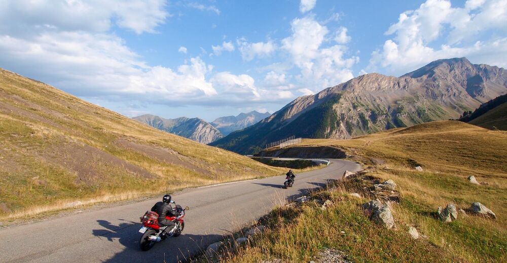
© TILT COM’SEIL - Philippe Lemonnier
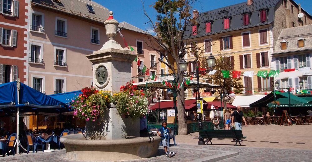
© TILT COM’SEIL - Philippe Lemonnier
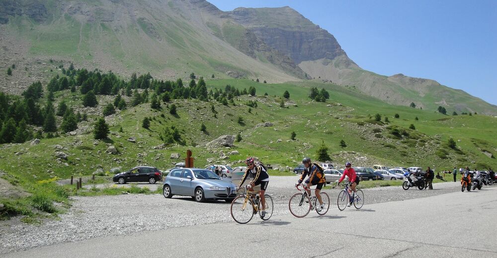
© TILT COM’SEIL - Alain Leboul
Datumi turnej
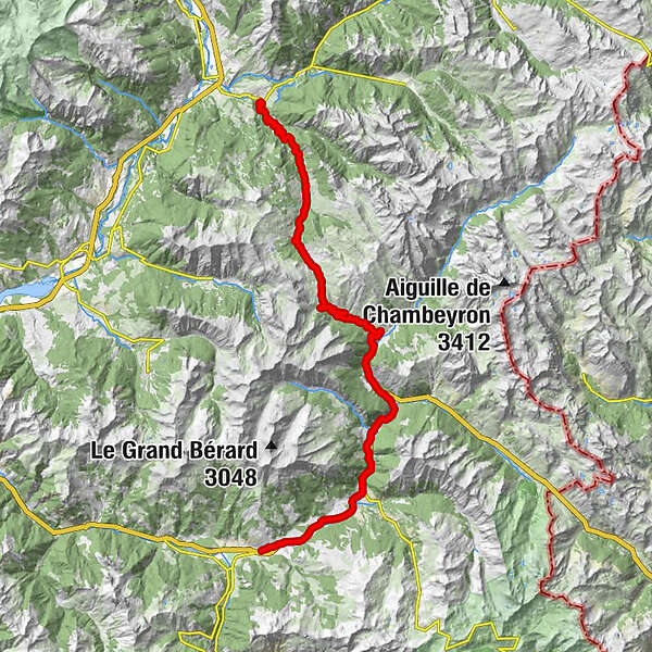
49,32km
1.035
- 2.114m
1.121hm
1.021hm
04:13h

TILT COM’SEIL
- Kratek opis
-
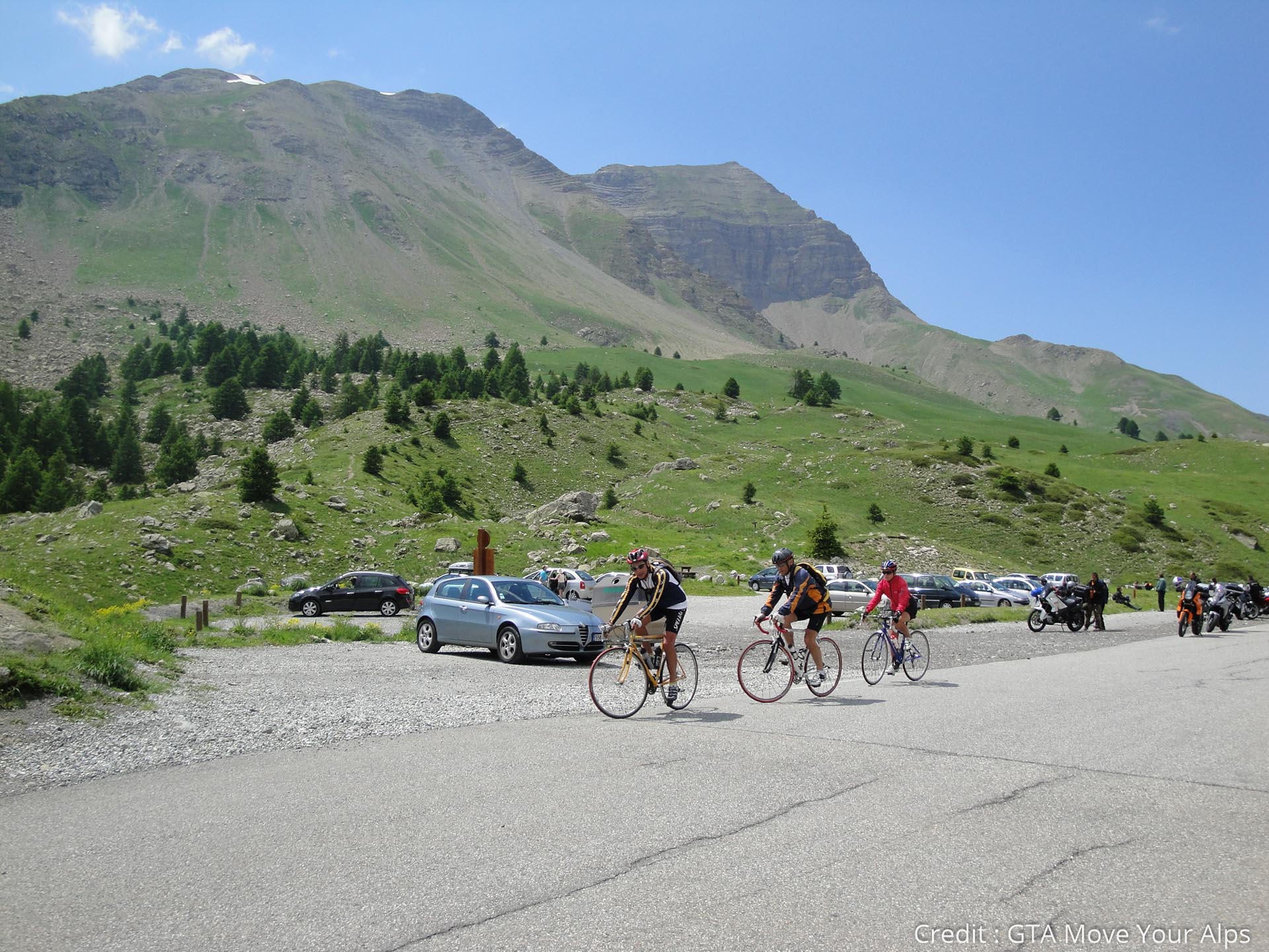
This 10th stage will take you from Queyras to Ubaye by tCol de Vars and its 1111 meters of ascent. A nice journey in the heart of the preserved landscapes of the southern part of the French Alps and an arrival in Barcelonnette, with its unexpected Mexican villas!
- Težavnost
-
srednja
- Ocenjevanje
-
- Pot
-
La Magdelaine6,6 kmÉglise Saint-Marcellin9,5 kmSaint-Marcellin9,5 kmSainte-Marie11,3 kmVars11,3 kmLes-Claux14,0 kmRefuge Napoléon16,5 kmL'Igloo18,8 kmChapelle Sainte-Marie-Madeleine19,0 kmÉglise Saint-Sébastien23,6 kmLes Prats (1.675 m)25,7 kmLes Gîtes26,2 kmSaint-Paul-sur-Ubaye26,9 kmLes Gleizolles32,9 kmLa Condamine-Châtelard35,8 kmLa Rimaye35,8 kmÉglise Saint-Nicolas-de-Myre40,7 kmJausiers40,8 kmLes Davis-Haut42,7 kmDomaine de Bérard45,4 kmFaucon-de-Barcelonnette46,7 kmBarcelonnette49,0 km
- Najboljša sezona
-
janfebmaraprmajjunjulavgsepoktnovdec
- Najvišja točka
- 2.114 m
- Destinacija
-
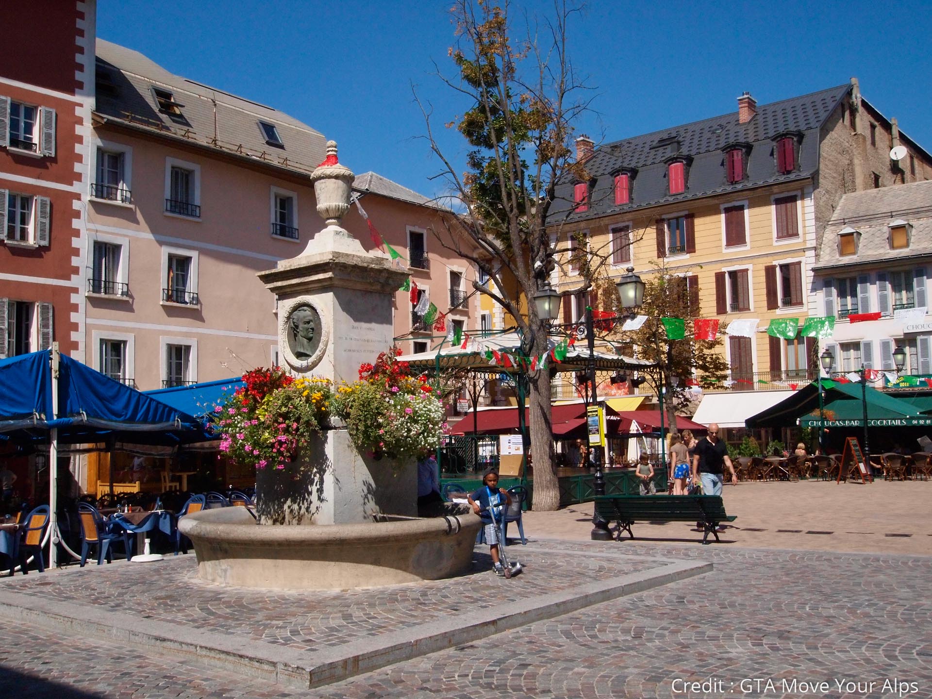
Barcelonette
- Profil nadmorske višine
-
 © outdooractive.com

- Avtor
-
TILT COM’SEILTurneja Route des Grandes Alpes - From Guillestre to Barcelonnette (10) uporablja outdooractive.com na spletni strani ..