


CUORGNE' Monsuffietto and Rocche di San Martino
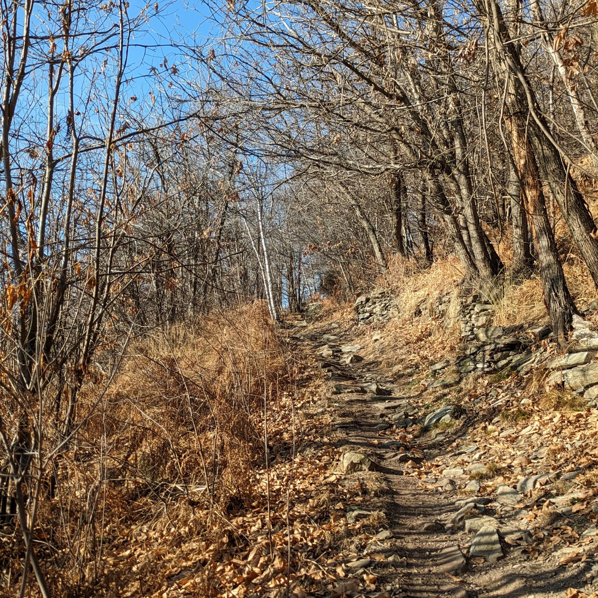
The itinerary, in the first part, follows an excellent path inside mixed deciduous forests, often skirting ancient dry stone walls.The area of Monsuffietto, where the first alpine pastures open up, is...
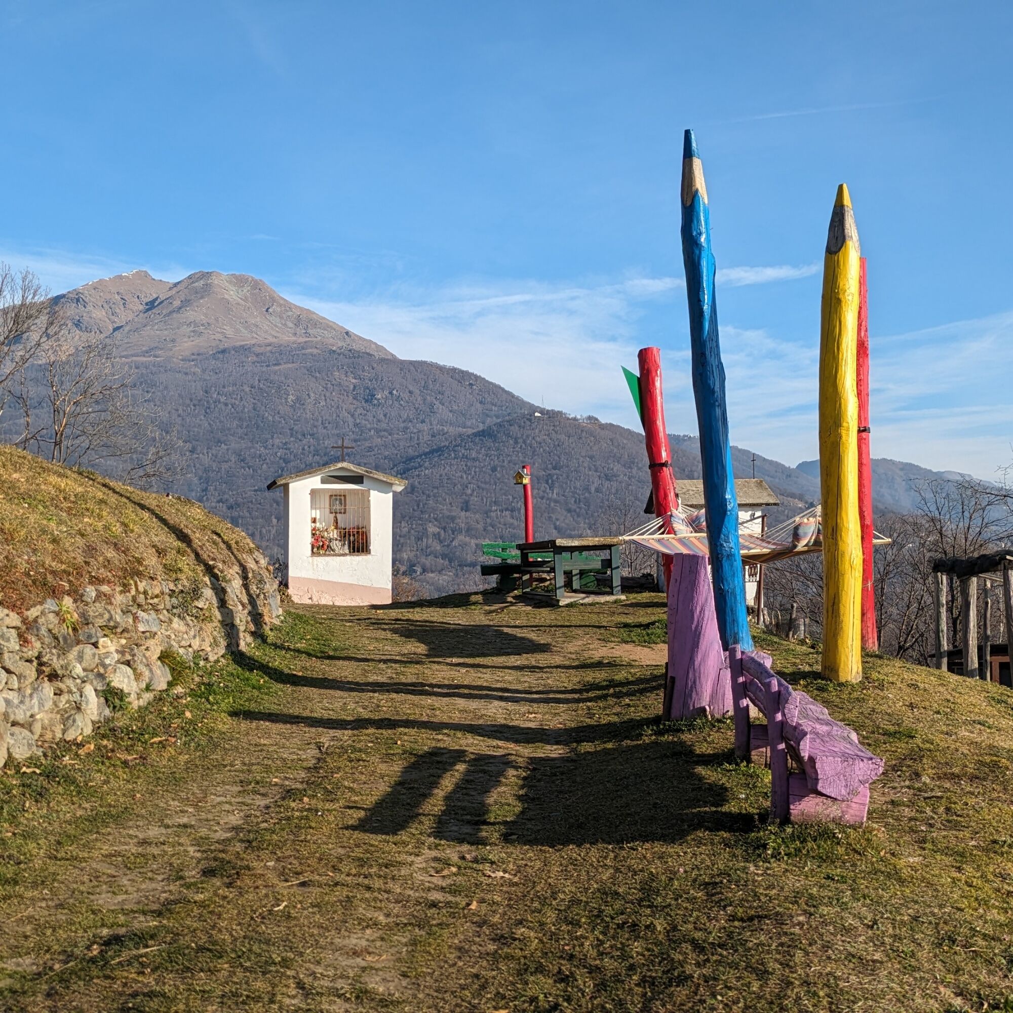
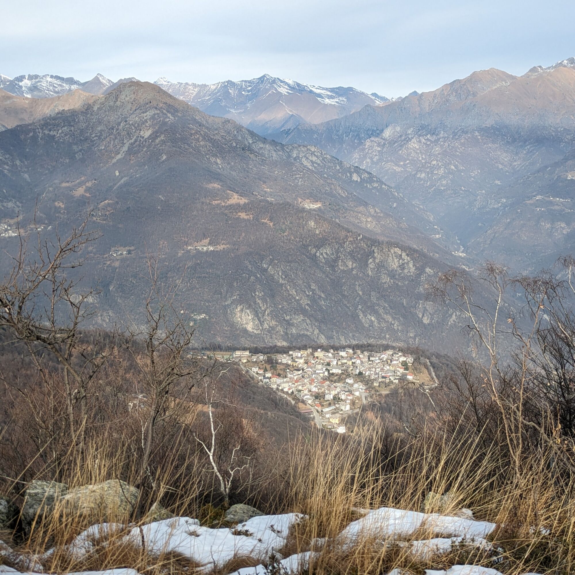
The itinerary, in the first part, follows an excellent path inside mixed deciduous forests, often skirting ancient dry stone walls.The area of Monsuffietto, where the first alpine pastures open up, is also the site of a small population of turkey oak (an oak typical of warmer environments), protected because it is the relict of a larger forest in ancient times and the highest in altitude in the Western Alps.St. Martin's Rocks is a secluded and therefore 360-degree panoramic point over the surrounding plains and valleys. In the locality of Giaudrone is the giant hammock "Hammock on the World," built by a local young man with the sense of stopping to relax, admiring the surrounding panorama.

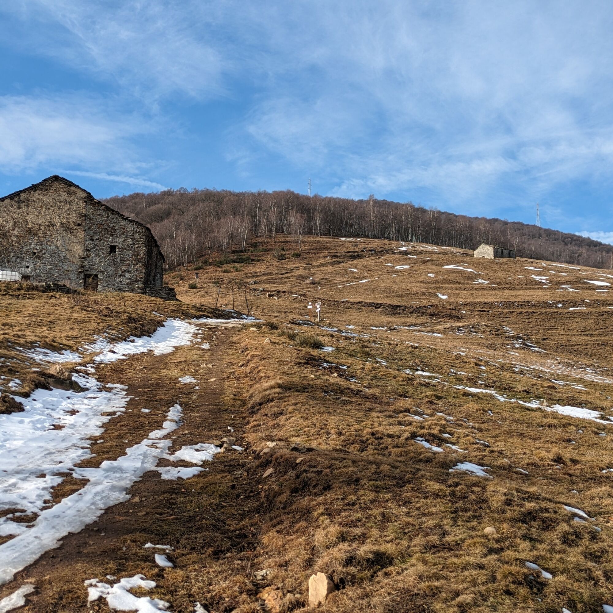
From the point where you leave the car continue the small road following the signs for Monsuffietto. At the junction, where the giant hammock is located, the path into the woods begins. At the first fork take a left and go up the woods until the path turns into a cattle-track and reaches a saddle where there is a picnic area with some tables.
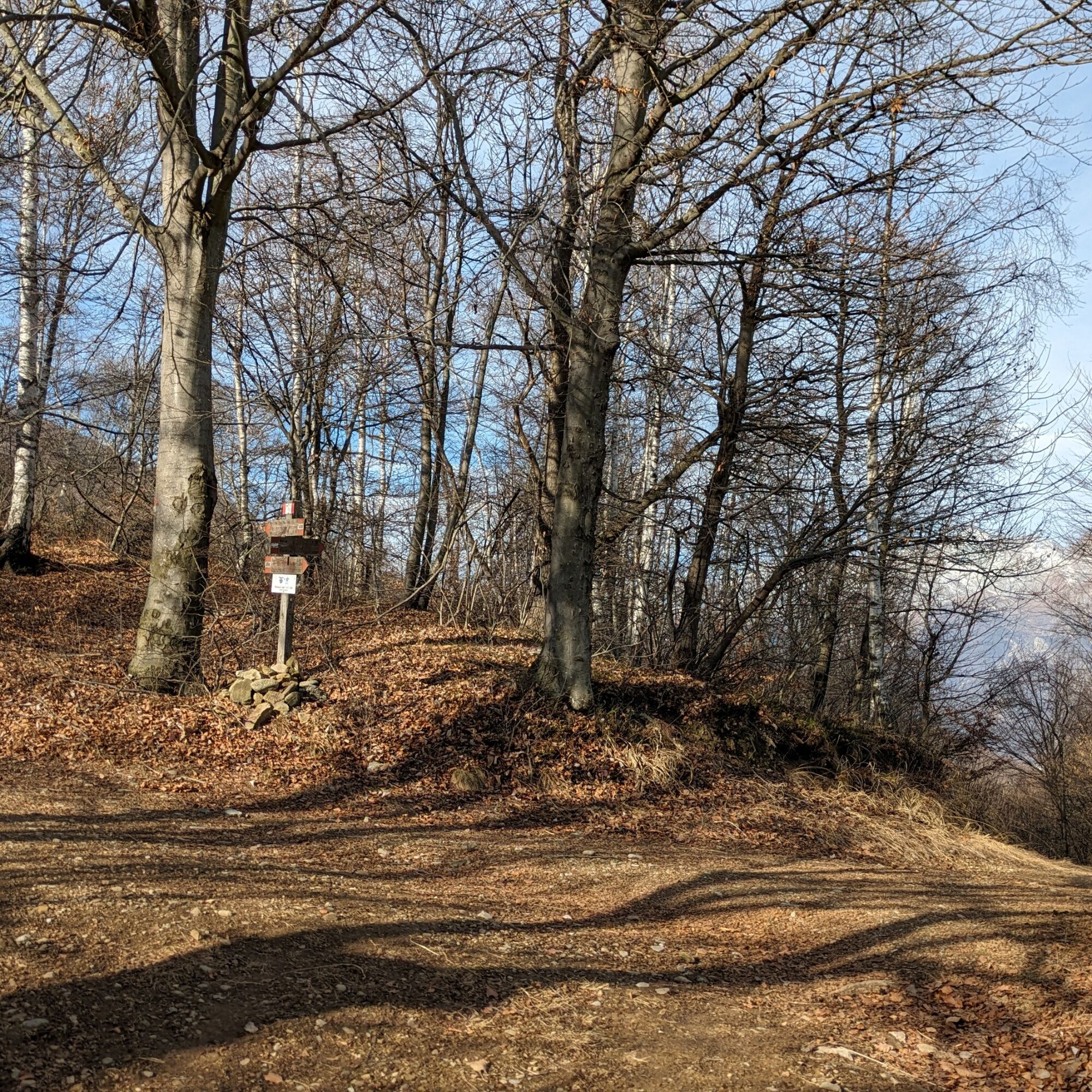
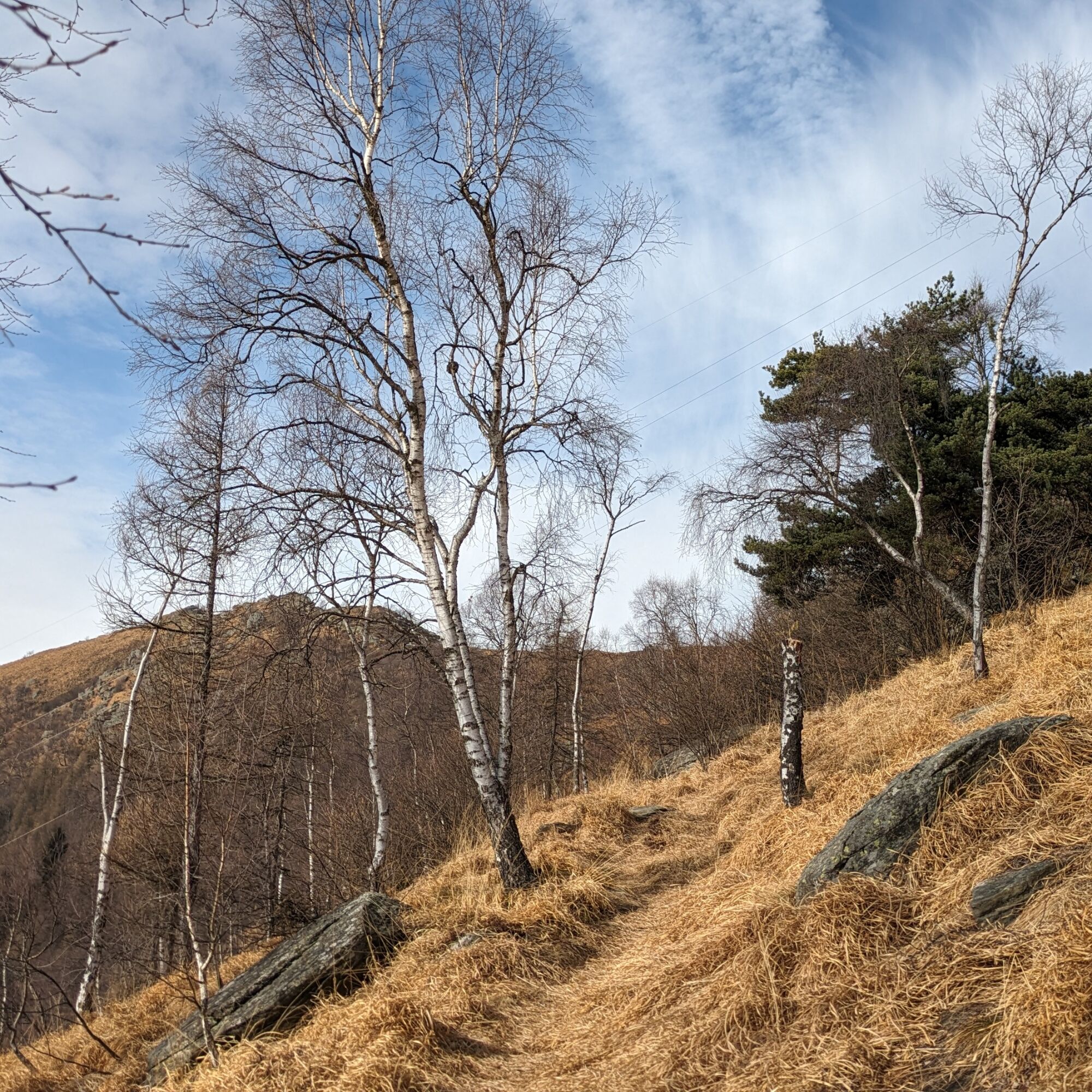
Immediately after you enter the forest road that from the hamlet Nero di Alpette goes up to Monsuffietto: following it to the left you reach the alpine pastures first and a concrete water tank shortly after. From there begins the path among the birch trees that climbs the ridge with a path that is not always obvious (DO NOT take the Caluso Trail).
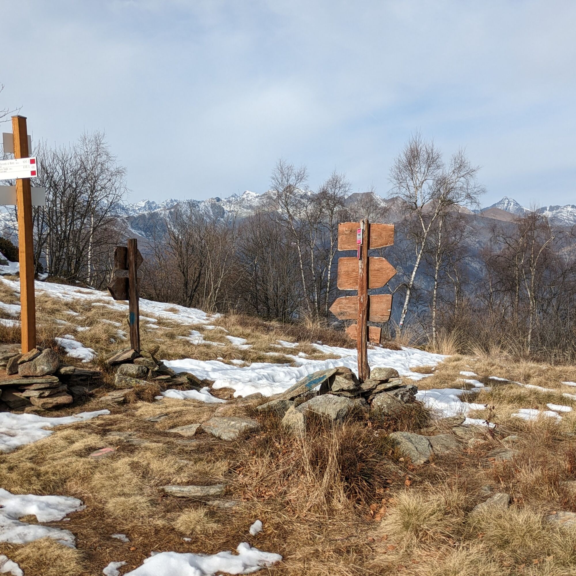
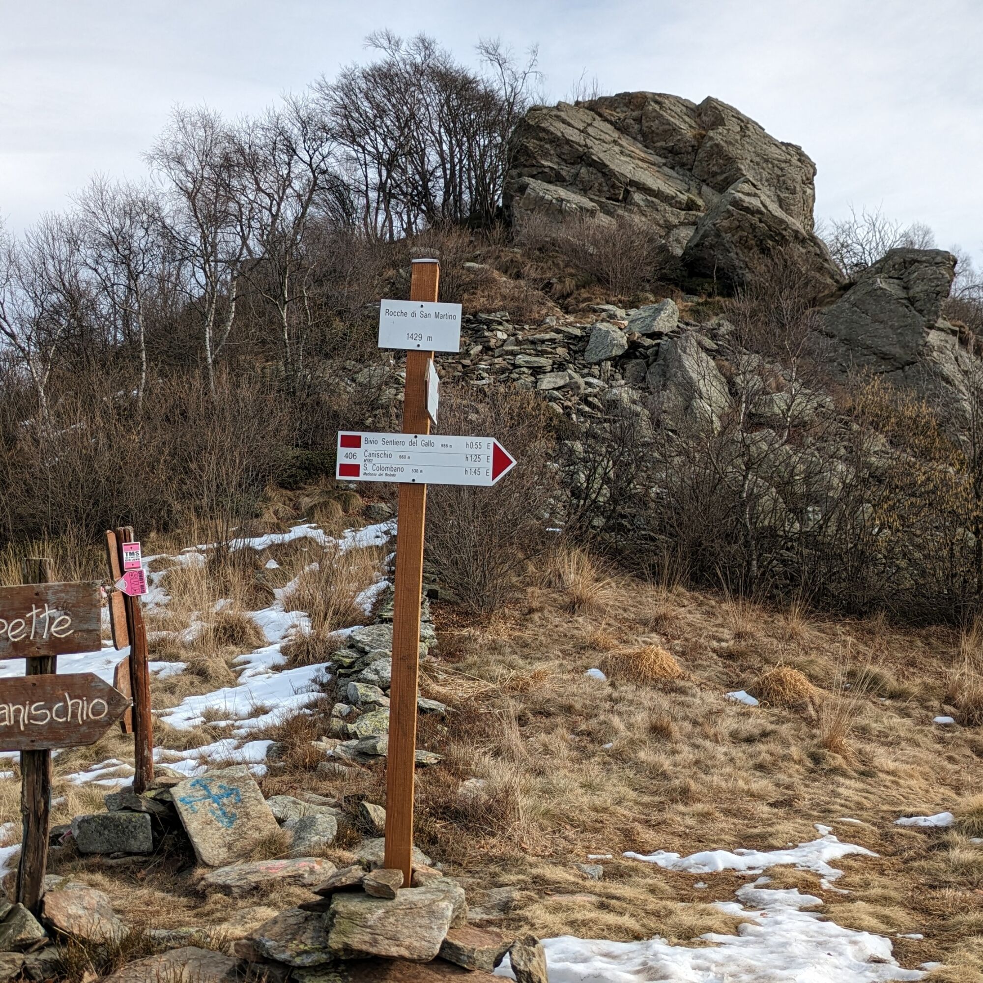
The trail skirts a dirt road, but staying on it continues to the pass below the Rocche di San Martino (elevation 1429 m). From the pass a small path reaches the top of the rocche in a few minutes.
The return is made on the ascent route.
Da
Footwear with non-slip soles, wind/rain cover, a warm layer, hat and sunglasses are recommended.
There are no refreshments along the route, so you need to stock up on water and food.
From Cuorgnè take the road to Alpette and then turn left to the locality of San Bernardo. Continue until you reach the locality of Giaudrone; however, do not enter among the houses.
Just outside the houses of Giaudrone locality, at the height of a hairpin bend (Gir d'la Ritta) there is a large widening where to park and start the walk
For all tourist information of the area, consult the website Tourism in Canavese.
Priljubljeni izleti v okolici
ALPETTE Monte Soglio and cima Mares from Balmassa
srednjaPohodništvo 10,9 kmBALDISSERO CANAVESE The Monti Pelati nature reserve
srednjaPohodništvo 7,19 km- 5,0
ROCCA CANAVESE Madonna della Neve - Bandito Chapel
srednjaPohodništvo 12,4 km - 4,0
VALPERGA Sacro Monte di Belmonte Loop
srednjaPohodništvo 10,3 km COLLERETTO CASTELNUOVO Pian del Lupo - Quinseina di Santa Elisabetta
težkoPohodništvo 6,27 kmRUEGLIO Cima Bossola from the Cima Bossola refuge
srednjaPohodništvo 3,79 kmSPARONE The ancient mule track of Frachiamo and the Rocca di Sparone
srednjaPohodništvo 6,17 kmPunta Arbella from Campidaglio
srednjaPohodništvo 6,29 kmCASTELLAMONTE Sacred Valley Loop - Lower Valchiusella
srednjaKolesarjenje 27,8 kmTORRE CANAVESE Nature Route
svetlobaPohodništvo 6,71 km
Pohodništvo in sledenje


Ne zamudite ponudb in navdiha za naslednje počitnice
Vaš e-poštni naslov je bil dodan na poštni seznam.