


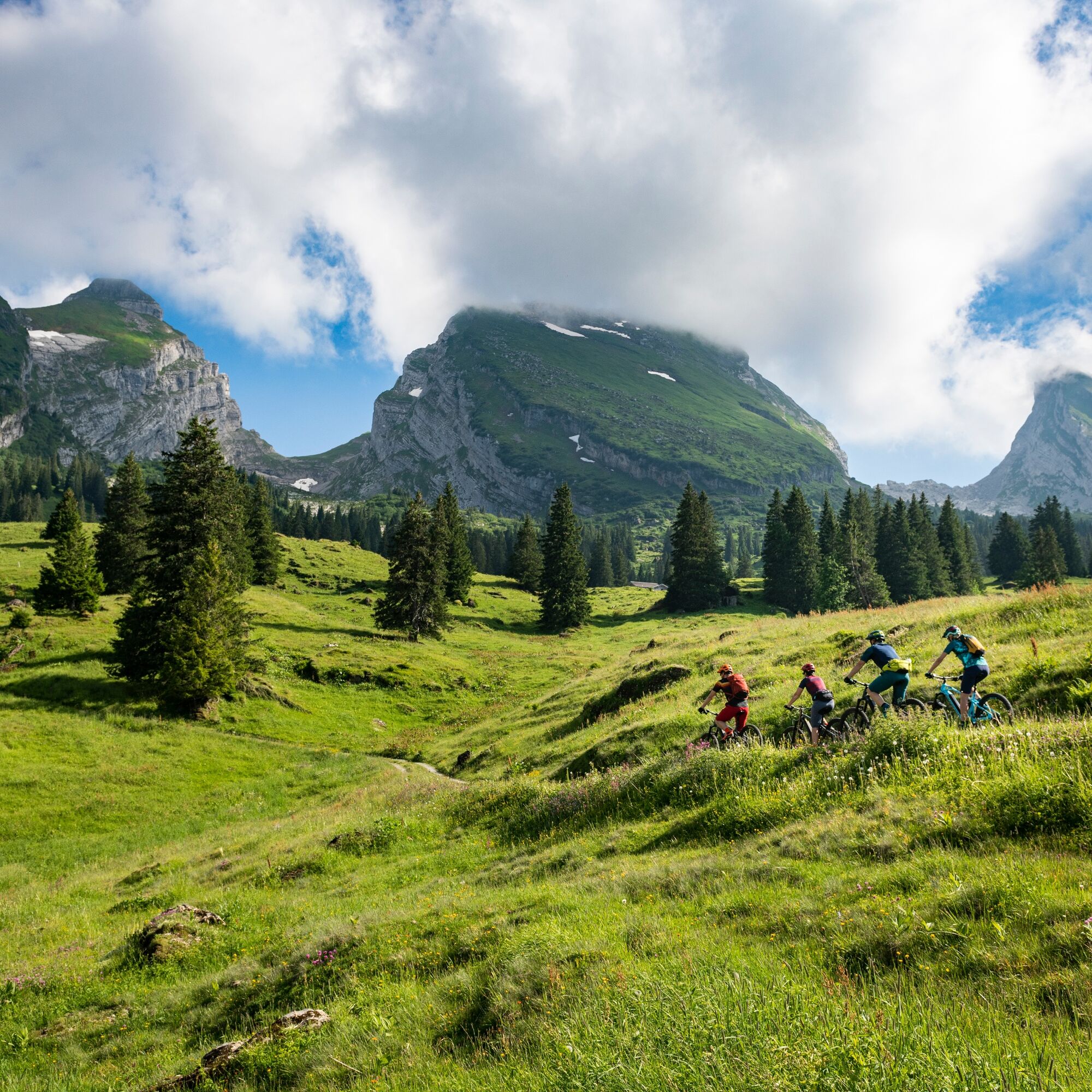
Mountain bike route to Torloch
Stopnja težavnosti: S1
Fotografije naših uporabnikov
 © Peter WürmliUstvarjeno na 22.08.2025
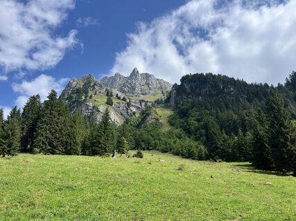 © Peter WürmliUstvarjeno na 22.08.2025
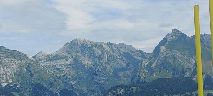
 © brauni69Ustvarjeno na 06.07.2025
 © Marlyse LeuUstvarjeno na 15.03.2026
 © Marlyse LeuUstvarjeno na 15.02.2026
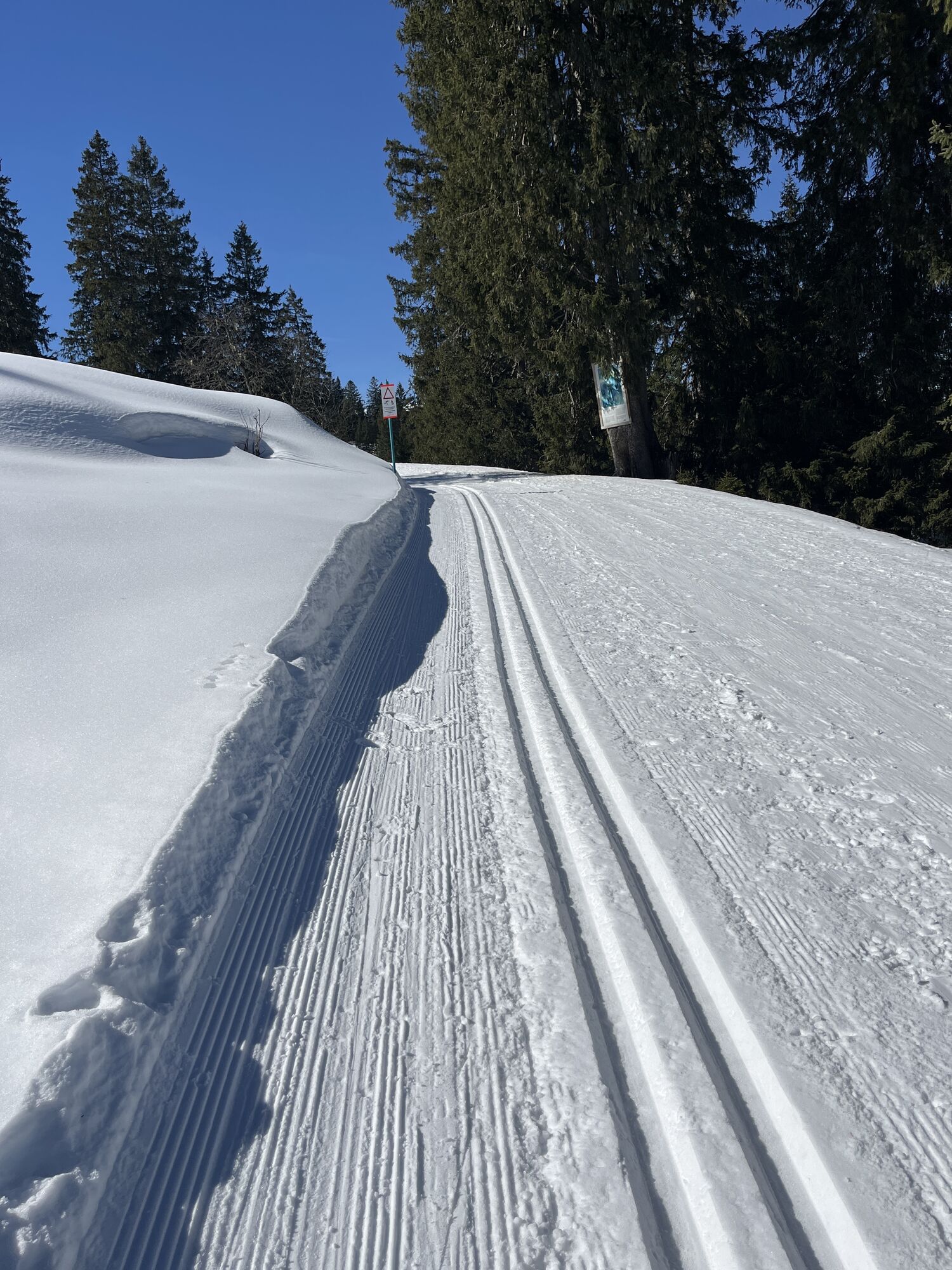
 © Peter BurkiUstvarjeno na 07.02.2026
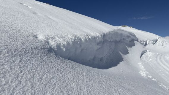 © Peter BurkiUstvarjeno na 07.02.2026
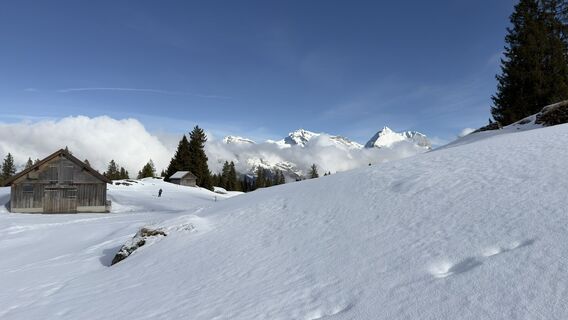 © Peter BurkiUstvarjeno na 07.02.2026
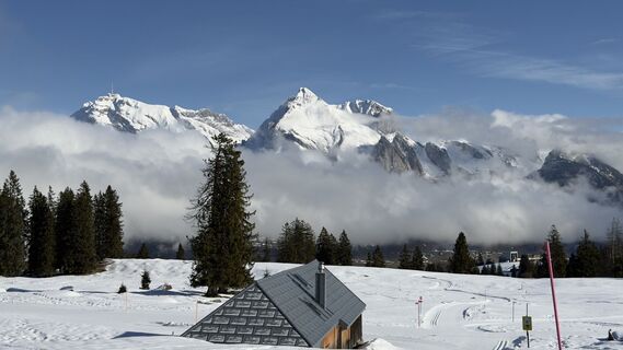 © Peter BurkiUstvarjeno na 07.02.2026
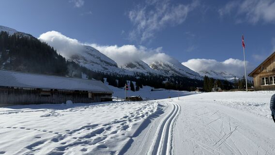 © Peter BurkiUstvarjeno na 07.02.2026
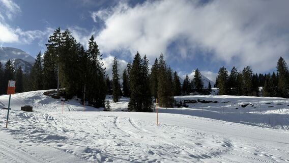 © Peter BurkiUstvarjeno na 07.02.2026
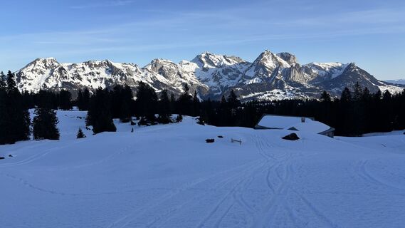
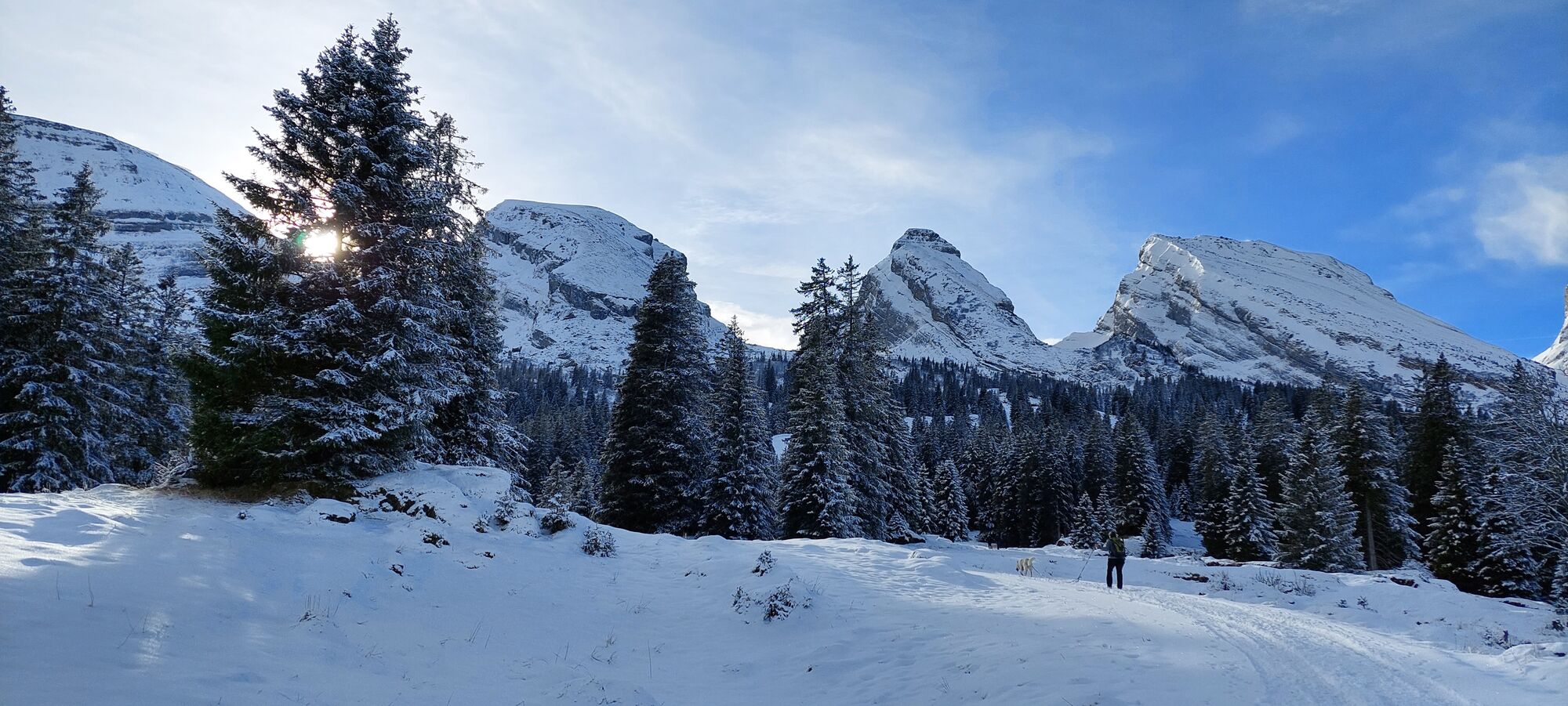
 © Erich Graf 2Ustvarjeno na 18.01.2026
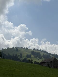
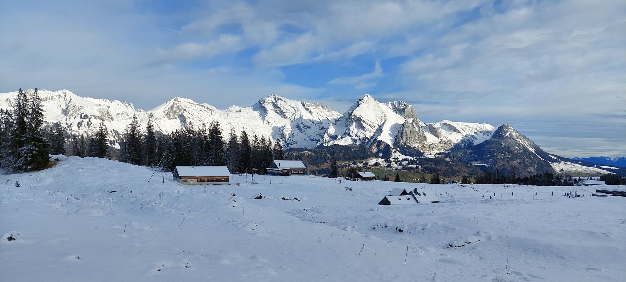
 © Passport1405Ustvarjeno na 17.08.2025
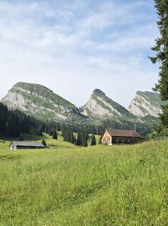
 © SvenUstvarjeno na 05.07.2025
 © Aurelian BöhlerUstvarjeno na 29.06.2025
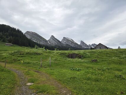 © SvenUstvarjeno na 01.06.2025
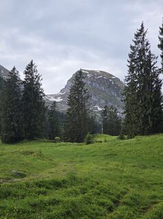 © SvenUstvarjeno na 01.06.2025
 © Francesco f ErnstUstvarjeno na 04.03.2025
 © Francesco f ErnstUstvarjeno na 04.03.2025
 © ClaudiaUstvarjeno na 28.12.2022
 © ClaudiaUstvarjeno na 28.12.2022
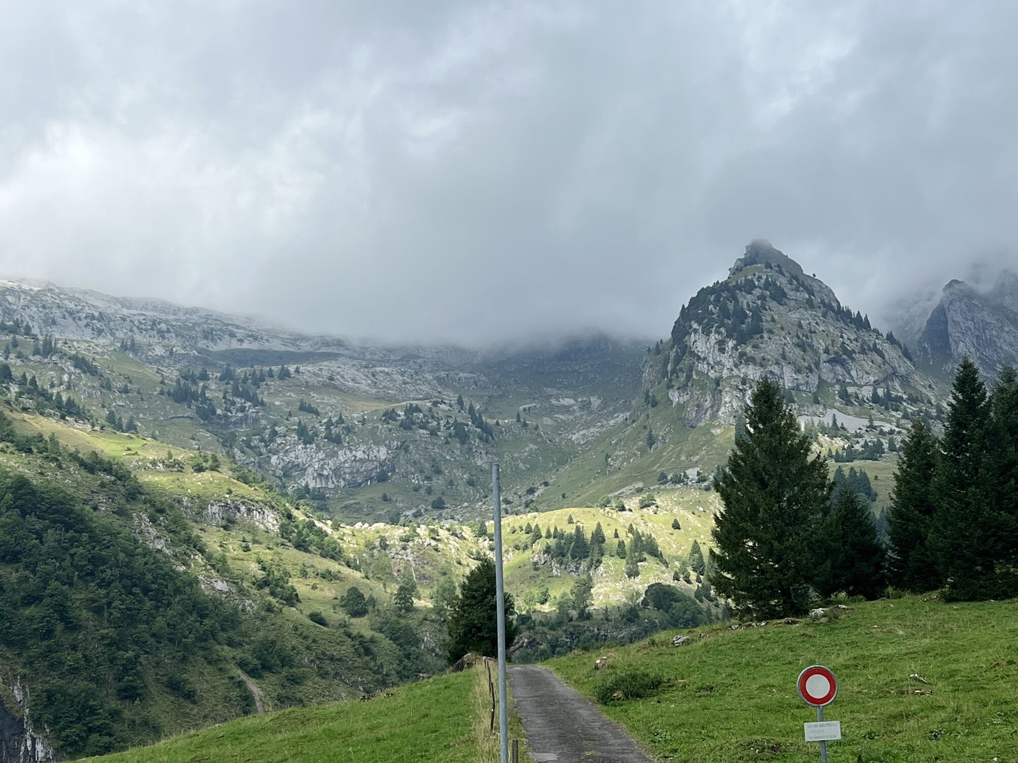


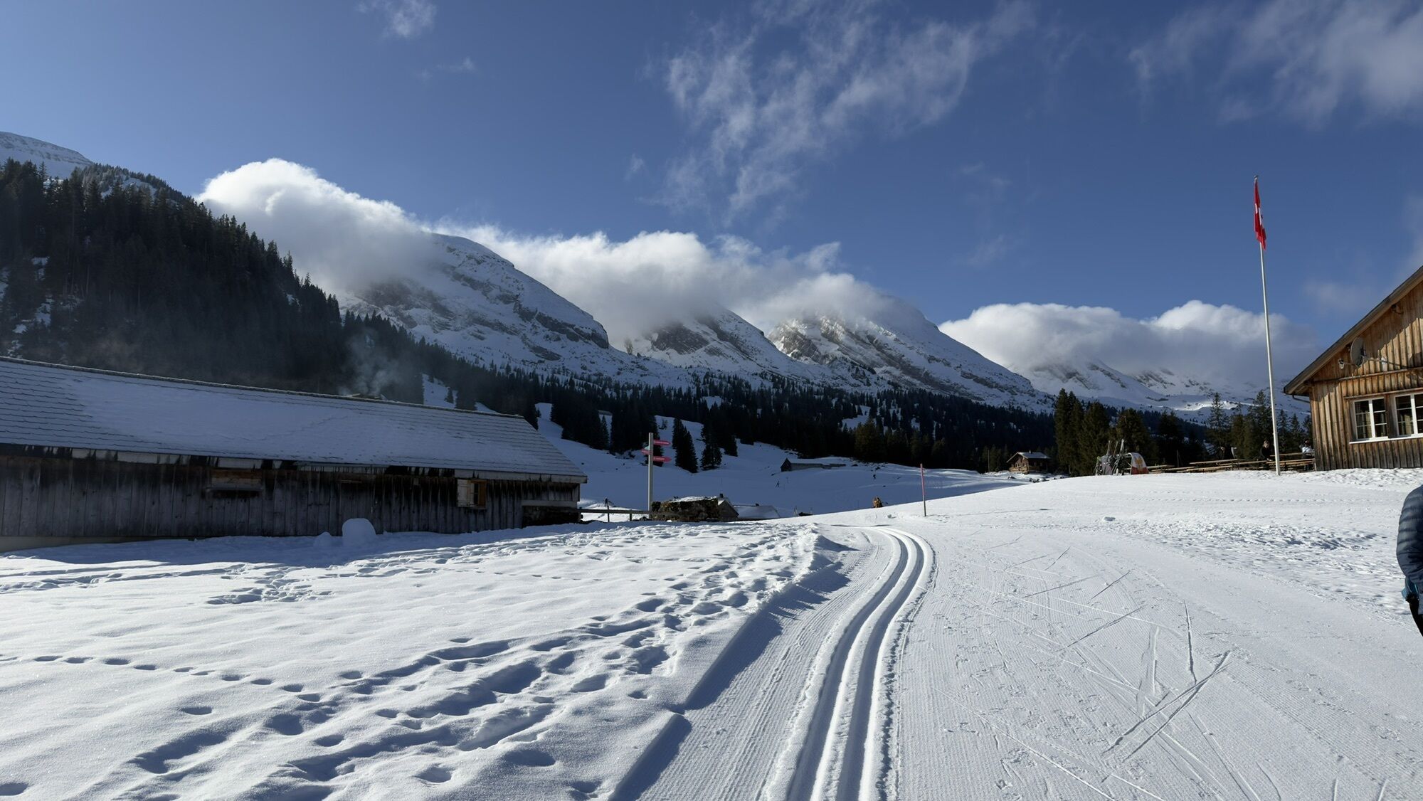
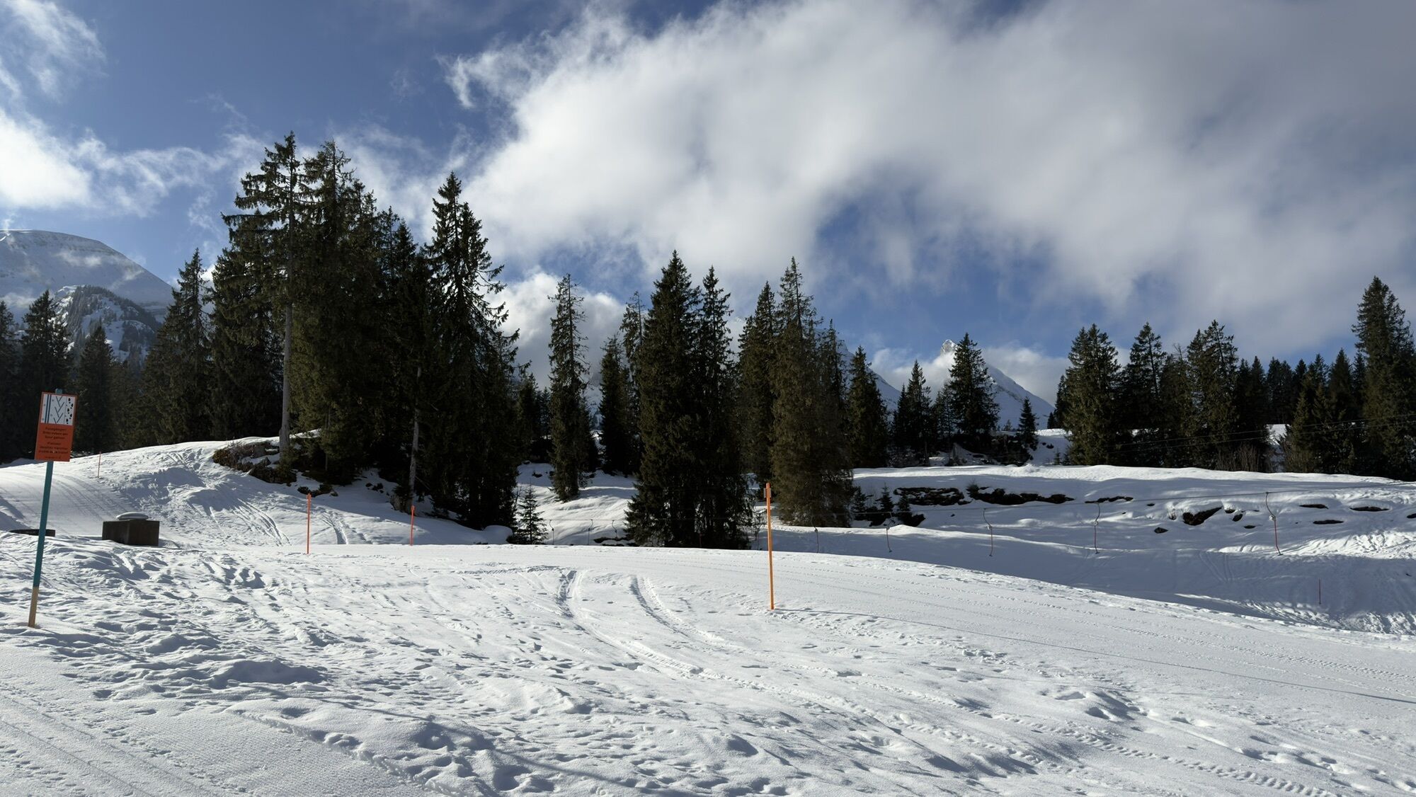
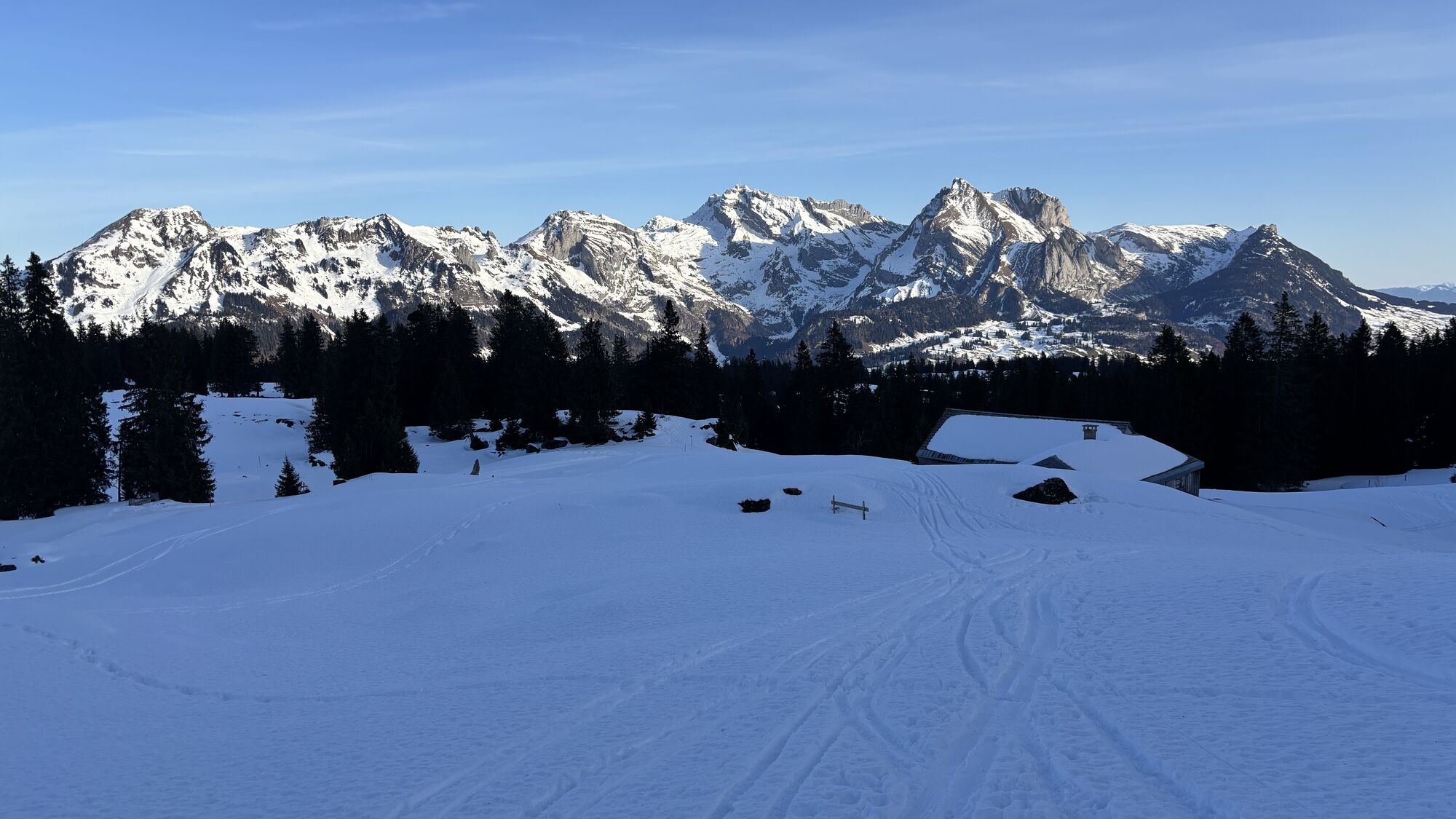
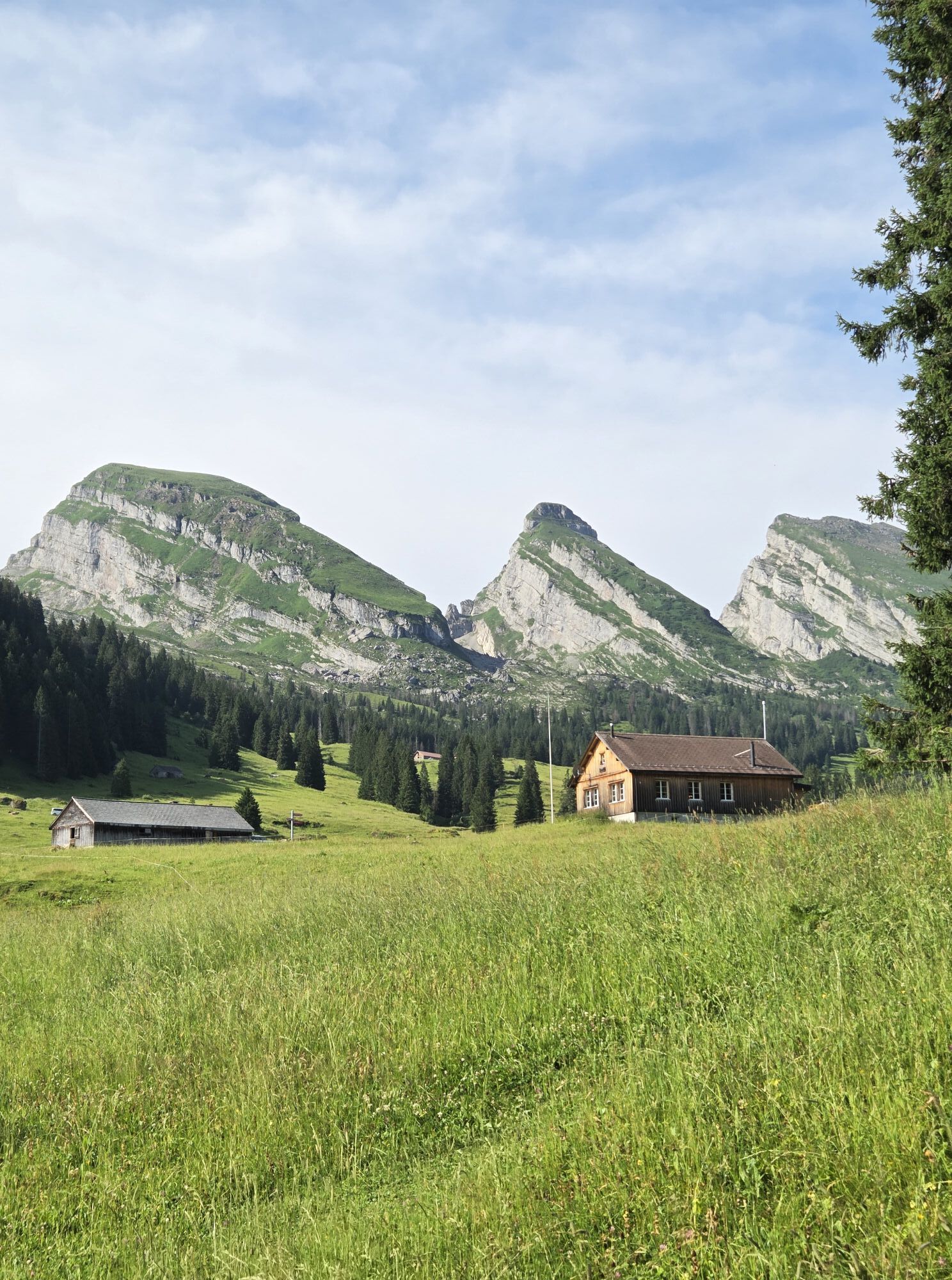

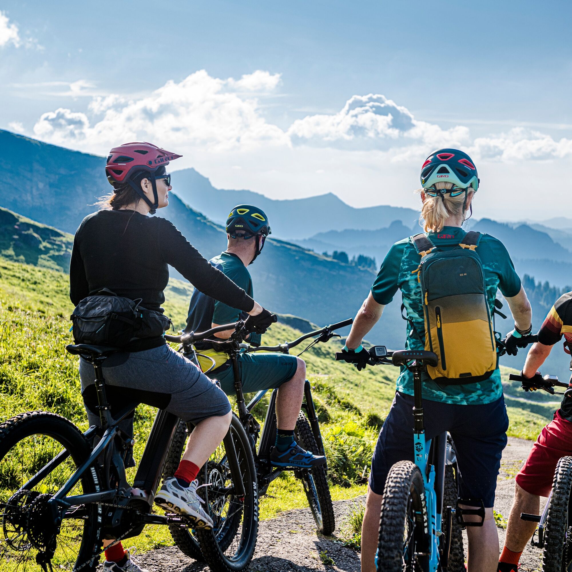
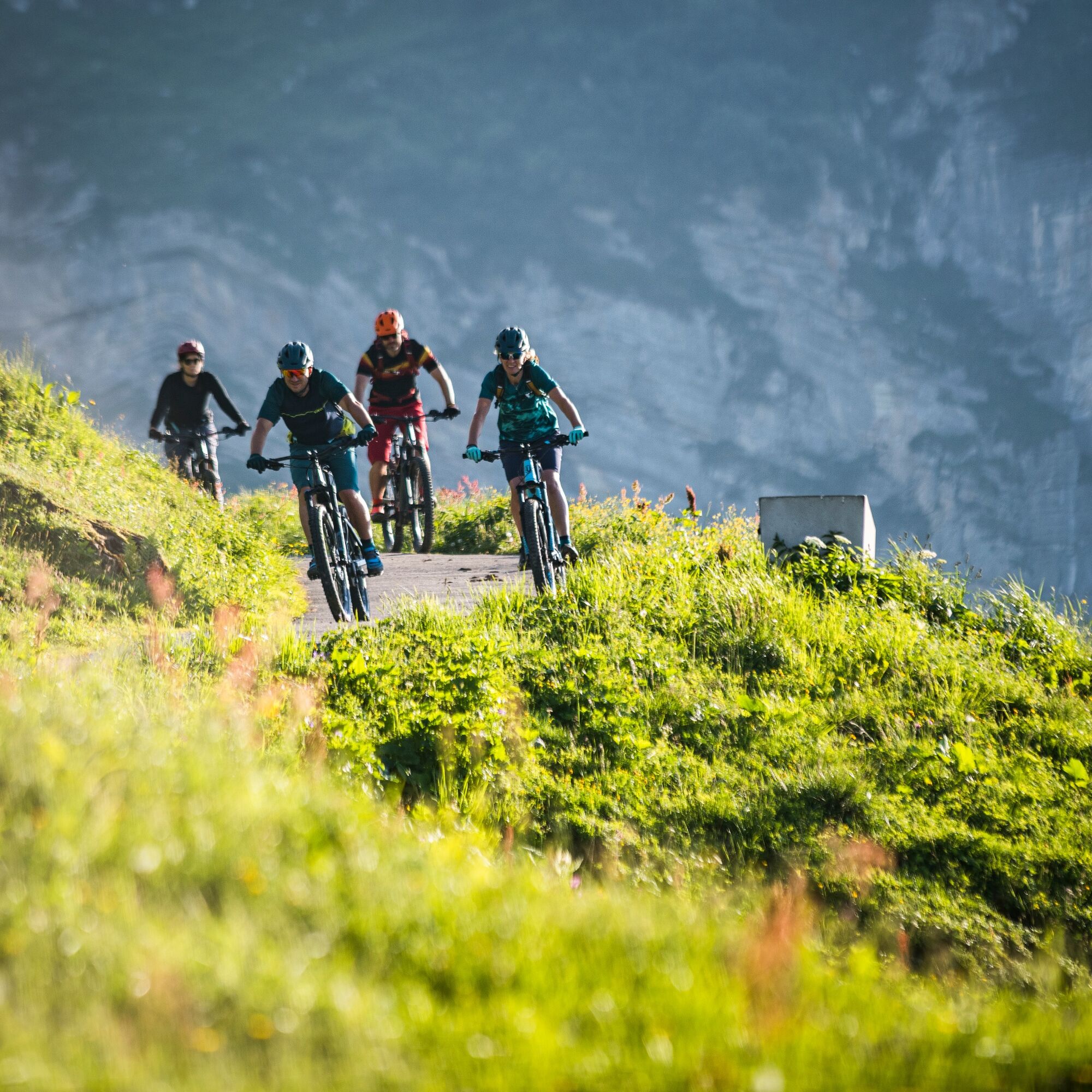
Anyone wanting to reach the «Torloch» – the highest point at 1780 meters in the Toggenburg bike network – must really push themselves. This detour is not for nothing marked as a «variant». The path to...
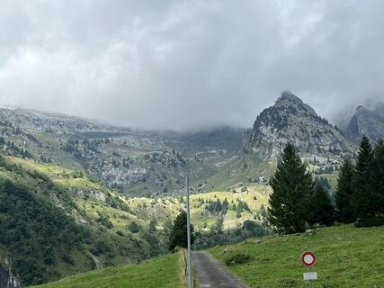
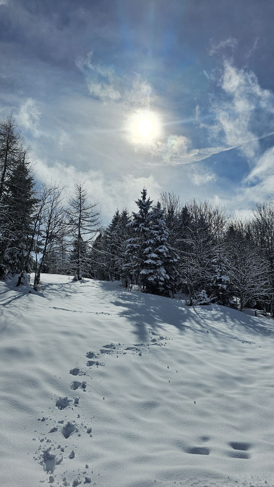
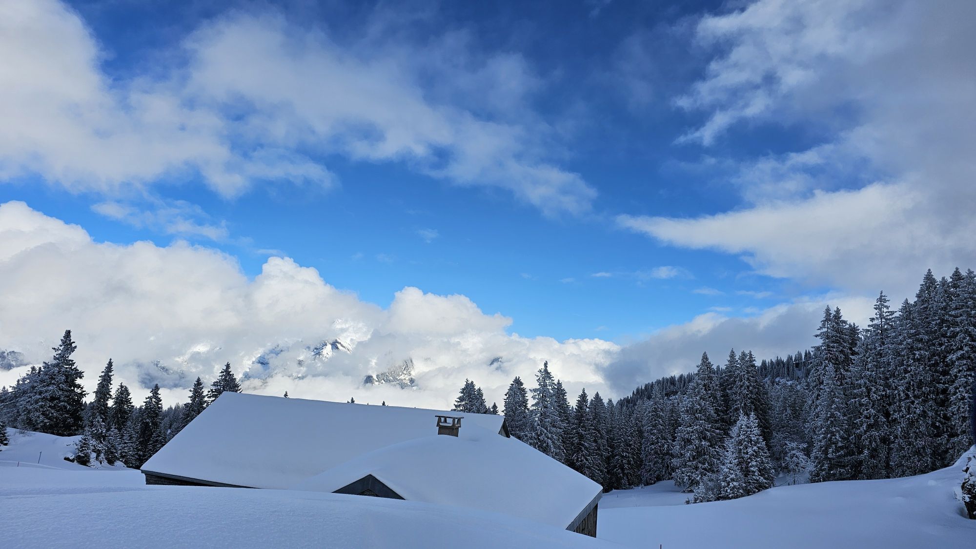
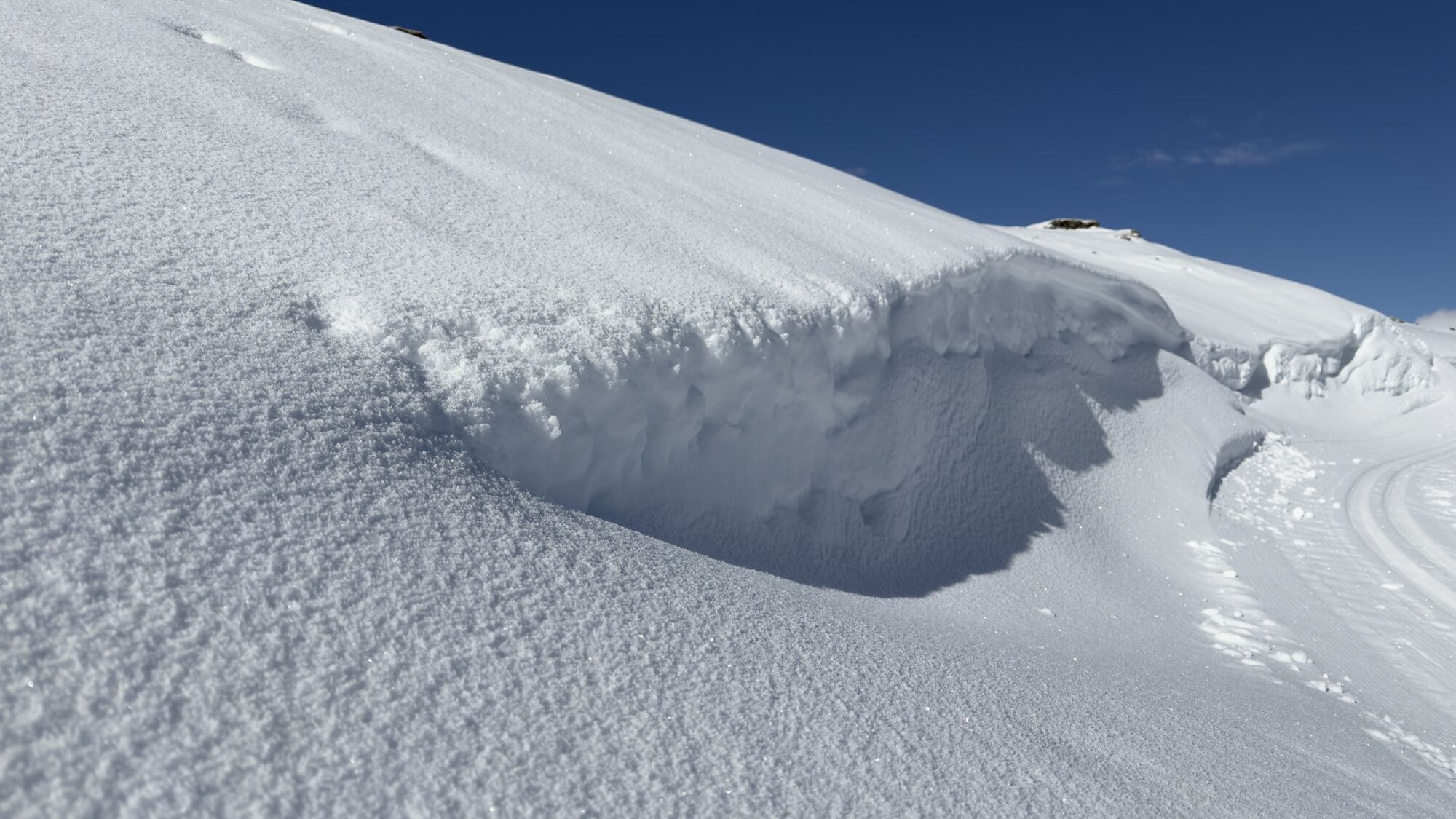
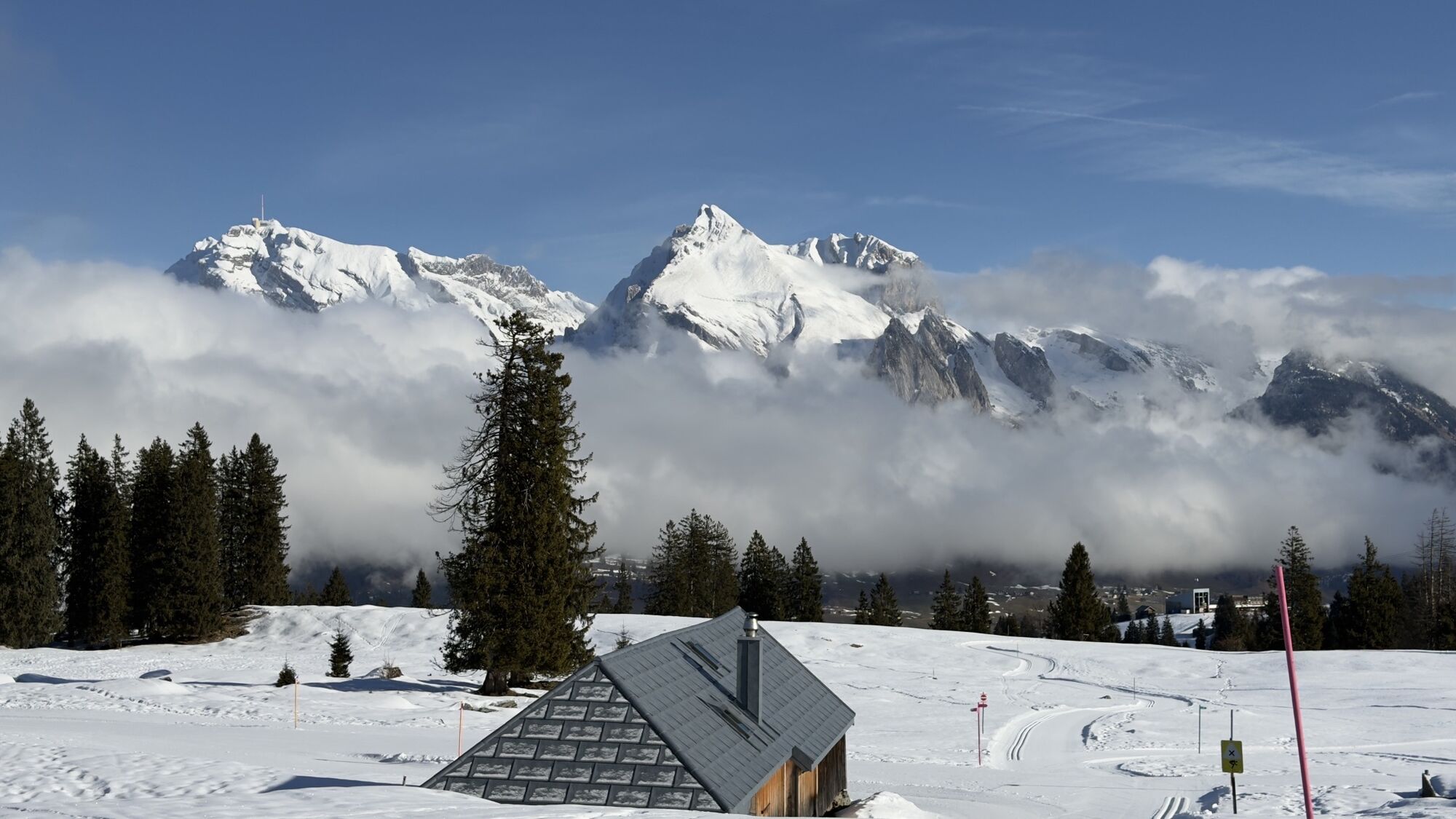
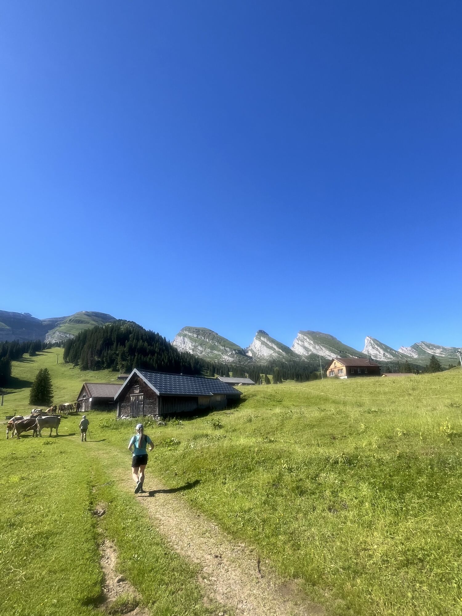
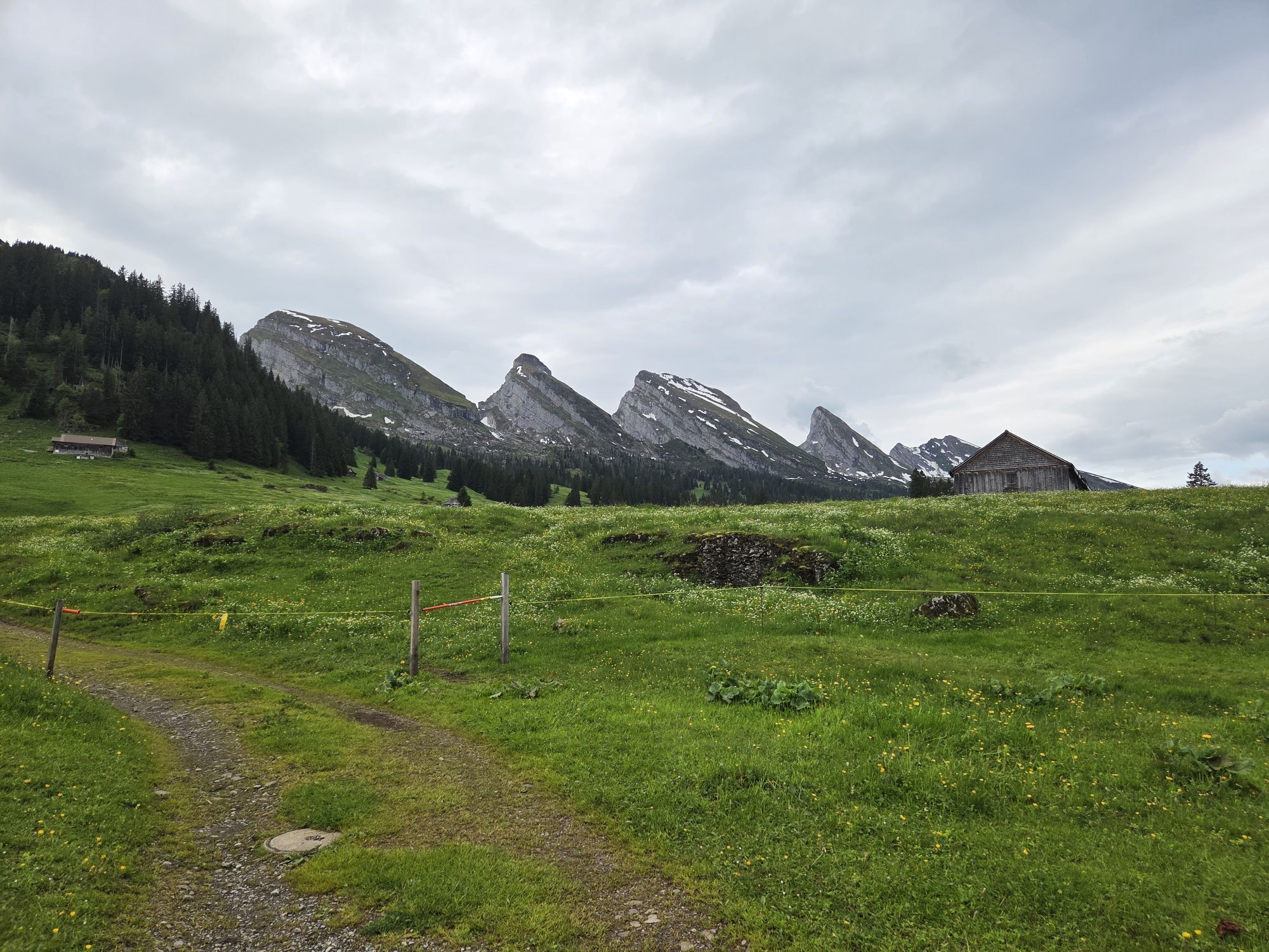
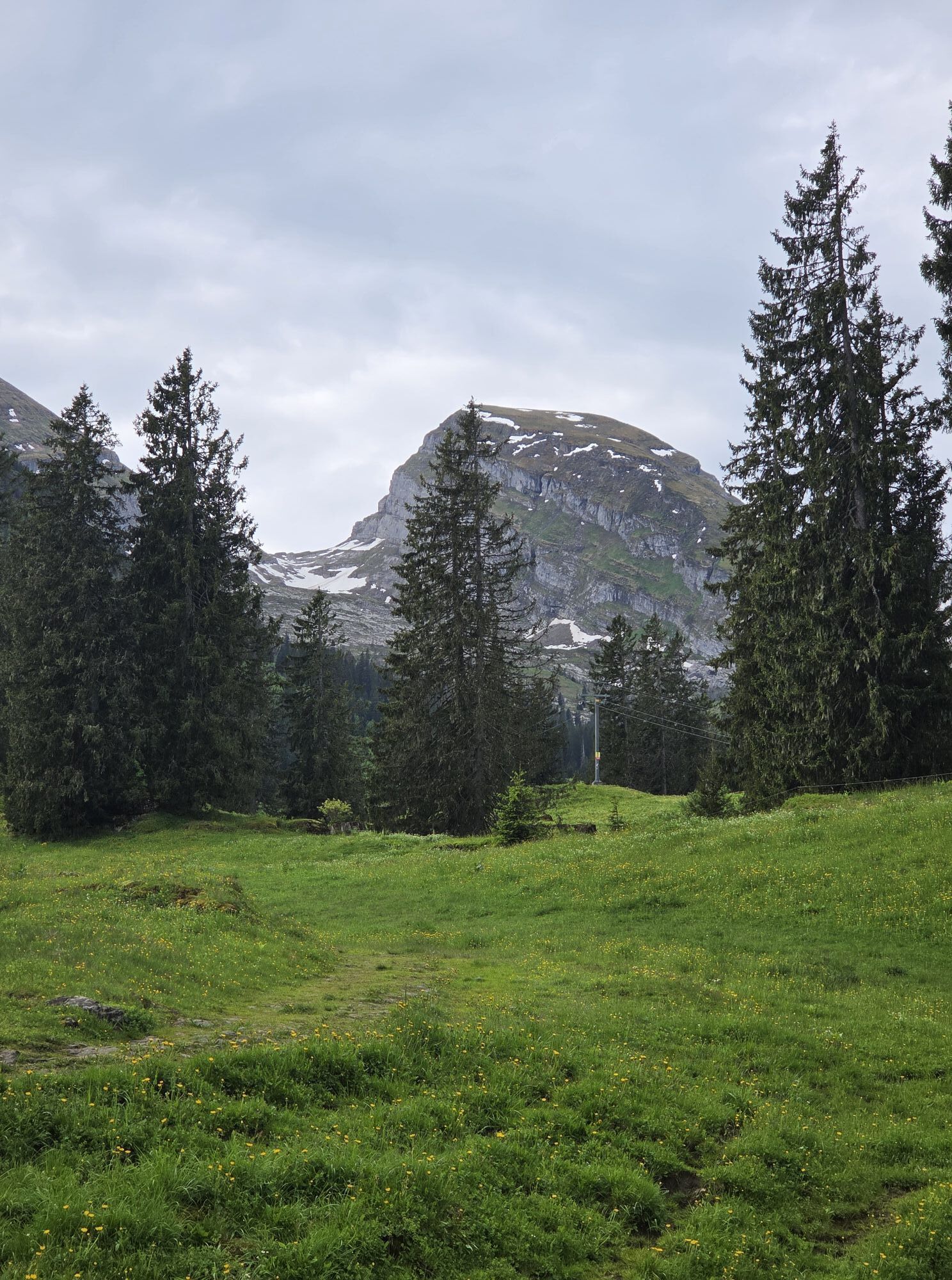
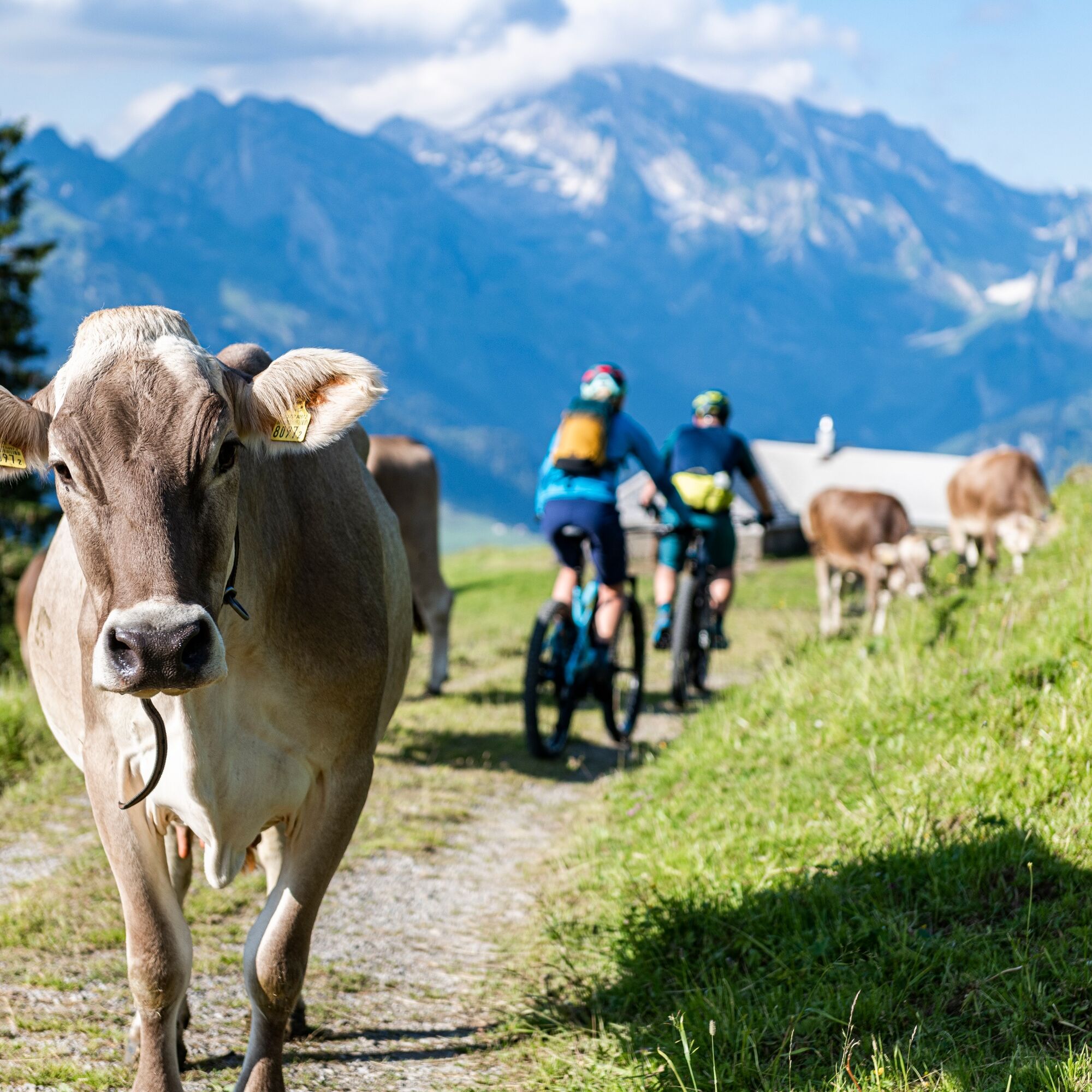
Anyone wanting to reach the «Torloch» – the highest point at 1780 meters in the Toggenburg bike network – must really push themselves. This detour is not for nothing marked as a «variant». The path to this small high alpine area is extremely steep and demands a full physical effort from non-motorized mountain bikers. The rest of the tour, with just over 1000 meters of elevation gain, is quite relaxed and offers hardly any technical riding difficulties. The wide alpine landscape as well as the views of the northern side of the Churfirsten and the Säntis massif provide scenic impressions unique in the region.
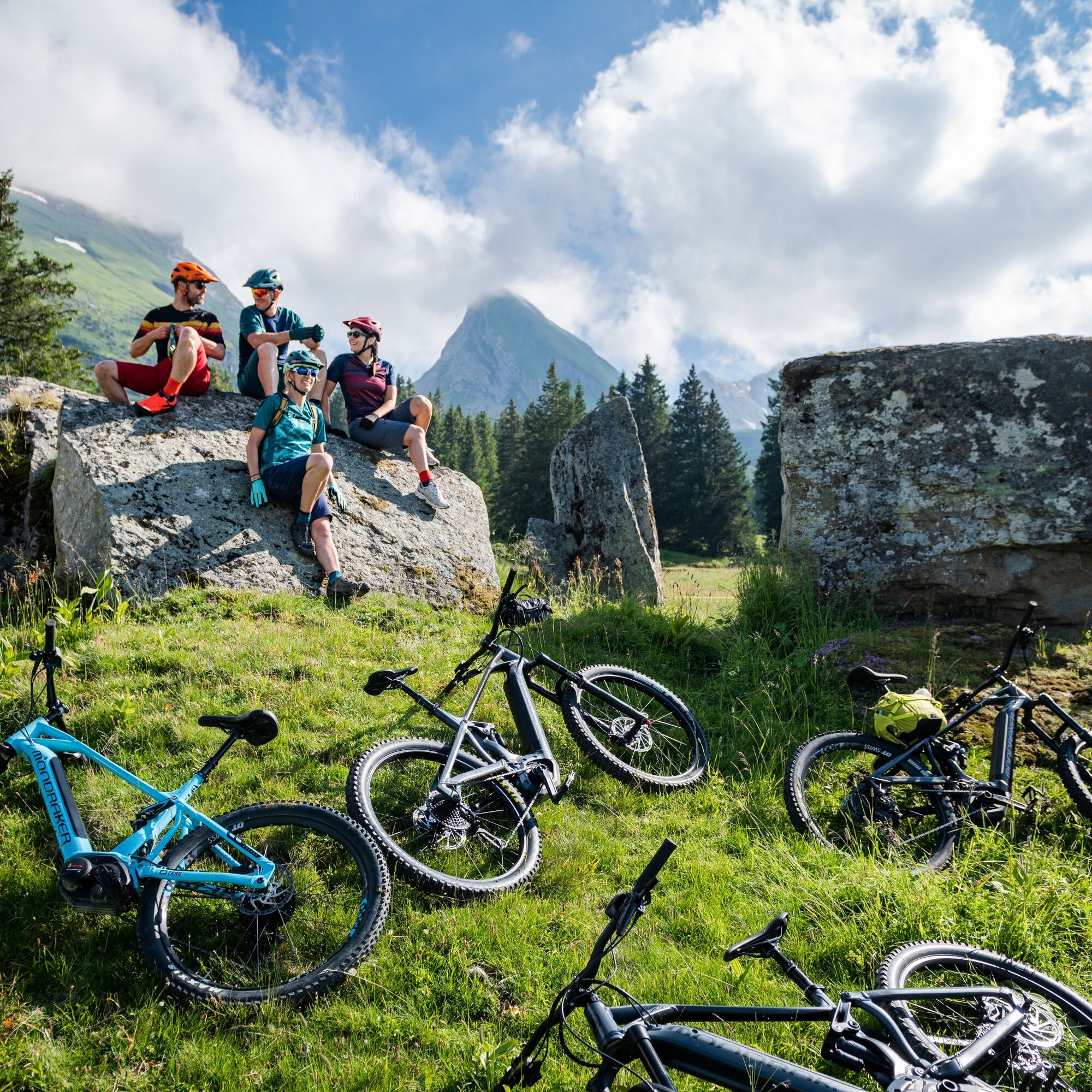
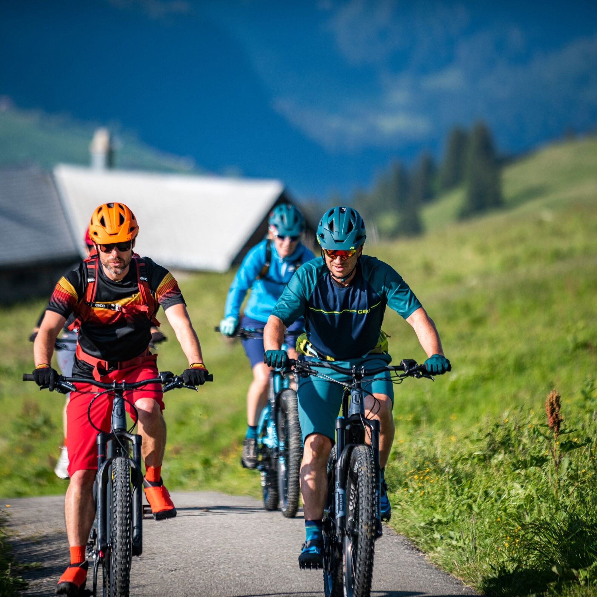
The first almost 500 meters of elevation on the tour up to the Berghotel Sellamatt (e-bike charging option) are done efficiently on asphalt, then follows a wide, well-gravelled alpine road. Slightly steeper sections alternate here with flat stretches and short descents, making the route very appealing and varied. Along the way, the alpine inn Wildmannli (e-bike charging option) invites you to take a break. The return route is identical to the ascent route.
E-bike charging options:
Berghotel Sellamatt
Alpine inn Wildmannli
Note(s)
The routes are only signposted in the direction recommended by bikers. Alpine inns/mountain restaurants may not be open daily. Please check before the tour.

Unterwasser - Selamatt - Zinggen - Thurtalerstofel - Unter Hag - Torloch - Ochsenhütte - Thurtalerstofel - Zinggen - Selamatt - Unterwasser
Da
Traffic-safe mountain bike with suspension, bike helmet, optionally elbow and knee protectors, optionally back and shin protectors, day bike backpack (approx. 20 liters) with rain cover, mountain bike shoes with ankle protection, weather-appropriate and durable clothing in layers (e.g. functional shirt, cycling jersey, bib shorts, arm and leg warmers), shatterproof cycling glasses, full-finger gloves, pump, bike tools, sun and rain protection, provisions and drinking water, water bottle and suitable holder, first aid kit, pocket knife, mobile phone, optionally mobile phone holder for the handlebars, optionally headlamp and reflectors, map material, e-bike, spare battery, charger.
The route is consistently well rideable and in good condition.
- From the greater Zurich area and Central Switzerland: On the A3 at Reichenburg towards Rapperswil and then over the Ricken Pass to Wattwil. Afterwards, up through Toggenburg to Wildhaus.
- From Eastern Switzerland: From St. Gallen to Herisau and further over the Wasserfluh to Lichtensteig. Or from St. Gallen to Wil, take the Toggenburg exit. Follow the main road to Wildhaus.
- From southern Germany: Via Bregenz and St. Margrethen on the A13 to Haag and take the exit towards Toggenburg/Wildhaus. Or via Konstanz to Wil, then take the Toggenburg exit and follow the main road to Wildhaus.
By train to Nesslau-Neu St. Johann or Buchs SG, then by post bus to the stop «Unterwasser Post».
Various free parking spaces are available in Unterwasser.
S1
Toggenburg Tourism
Hauptstrasse 104
9658 Wildhaus
+41 71 999 99 11
info@toggenburg.swiss
www.toggenburg.swiss
Places to stop en route: overview of mountain innsand restaurants
Bike shop nearby: VeloMetzg Unterwasser
A camera is mandatory on this route.
Priljubljeni izleti v okolici
- 4,7
Walensee Riviera Weesen - Quinten
srednjaPohodništvo 10,2 km - 4,7
Riviera Lake Walen Walenstadt-Quinten
srednjaPohodništvo 10,4 km - 4,7
Wasserauen - Seealpsee - Wasserauen
srednjaPohodništvo 7,71 km - 4,9
Säntis-Gipfeltour, Wasserauen / Appenzell Innerrhoden
težkoPohodništvo 21,1 km - 5,0
Staubern-Runde (15.8.2021)
srednjaPohodništvo 8,65 km - 4,7
Alvier
srednjaPohodništvo 3,33 km - 4,6
4-Summit-Route Flumserberg
srednjaPohodništvo 8,65 km - 5,0
Traumhafte 3-Seen/Hütten Runde in Appenzell Schweiz
srednjaVisokogorska tura 19,7 km - 4,6
Schwägalp - Berggasthaus Tierwies - Girenspitz - Säntis
težkoPohodništvo 4,83 km - 5,0
Schrina Alp and Cultural Trail
srednjaTematska pot 11,5 km
Pohodništvo in sledenje


Ne zamudite ponudb in navdiha za naslednje počitnice
Vaš e-poštni naslov je bil dodan na poštni seznam.