

© ©Ventdautan-C.Bouthé

© Sidobre Tourisme

© Sidobre Tourisme
- Kratek opis
-
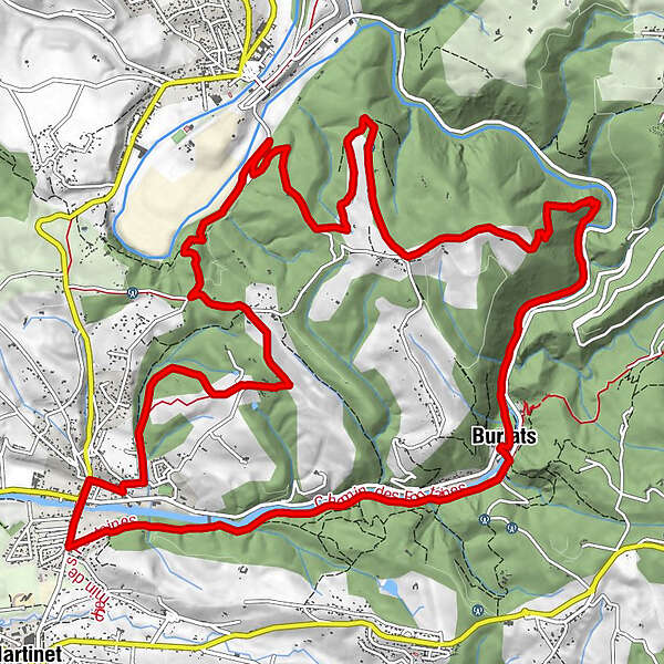
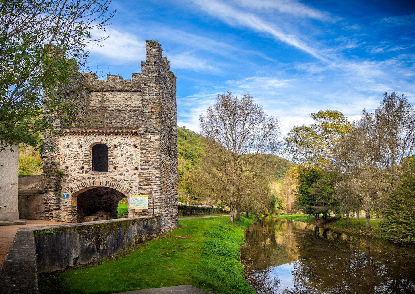
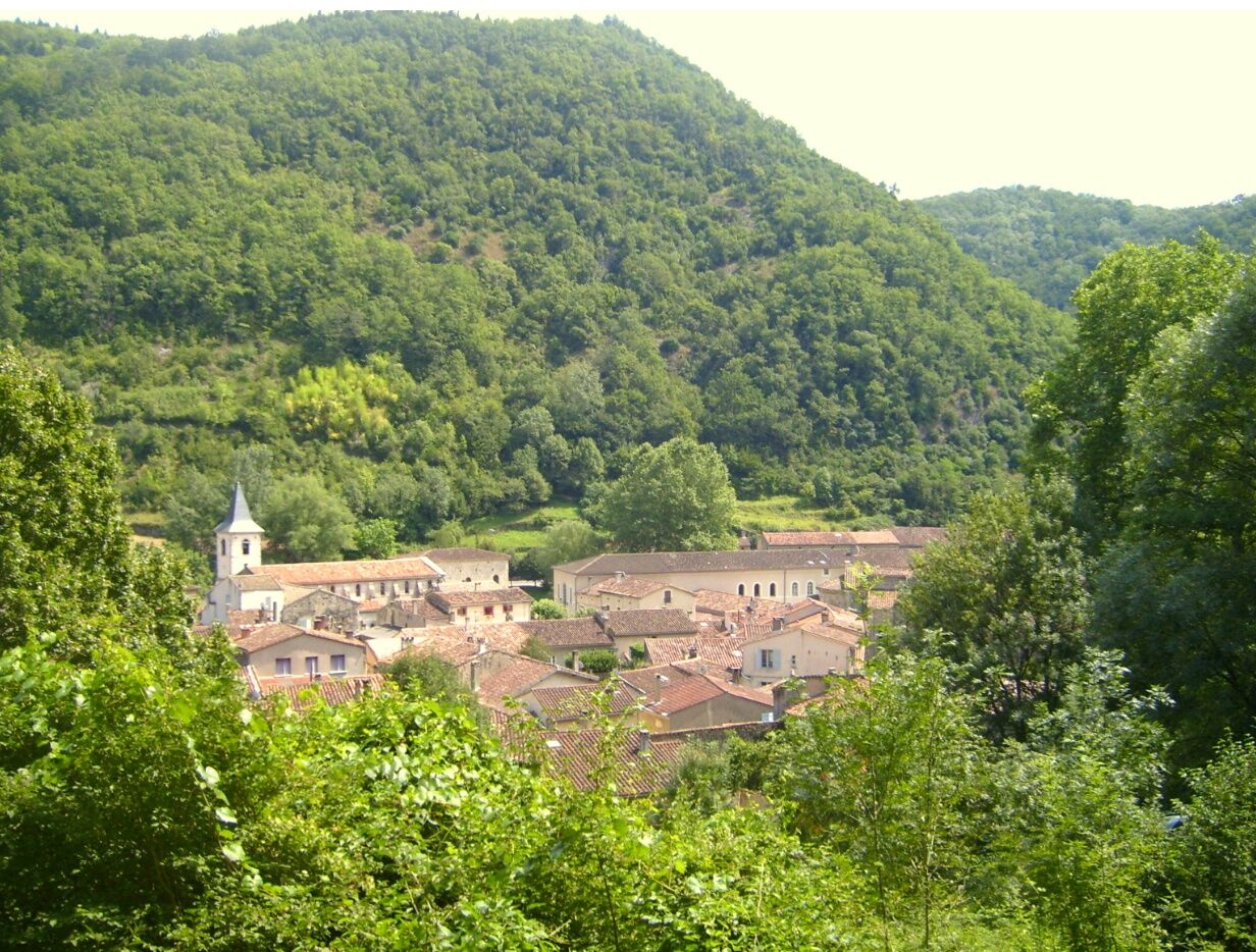
This beautiful and long hike, which partly follows the Agout river, offers many viewpoints on the Sidobre and the plains of Castres, passing through the medieval village of Burlats, the ruins in Gourteau and along the fountain path.
Time 5.5 hours - Distance 19,5 km - Težavnost
-
težko
- Ocenjevanje
-
- Pot
-
BurlatsCastres4,1 kmLa Bracadelle4,3 kmLes Salvages4,5 kmLa Lanterne des Salvages4,5 kmLa Glène14,4 kmLas Vignottes14,5 kmGourteau16,3 kmÉglise Saint-Pierre19,2 kmBurlats19,4 km
- Najboljša sezona
-
janfebmaraprmajjunjulavgsepoktnovdec
- Najvišja točka
- 440 m
- Destinacija
-
Burlats
- Profil nadmorske višine
-
 © outdooractive.com

- Avtor
-
Turneja La Boucle de Gourteau, looped hiking trail uporablja outdooractive.com na spletni strani ..
GPS Downloads


Več izletov v regijah
-
Tarn
330
-
Castres-Mazamet
196