


PASSA MERIDIA N° 24 - MINERVE / FERRALS-LES-MONTAGNES
WARNING (Information from February 13, 2026): For your safety, following recent bad weather, this route is closed until further notice.
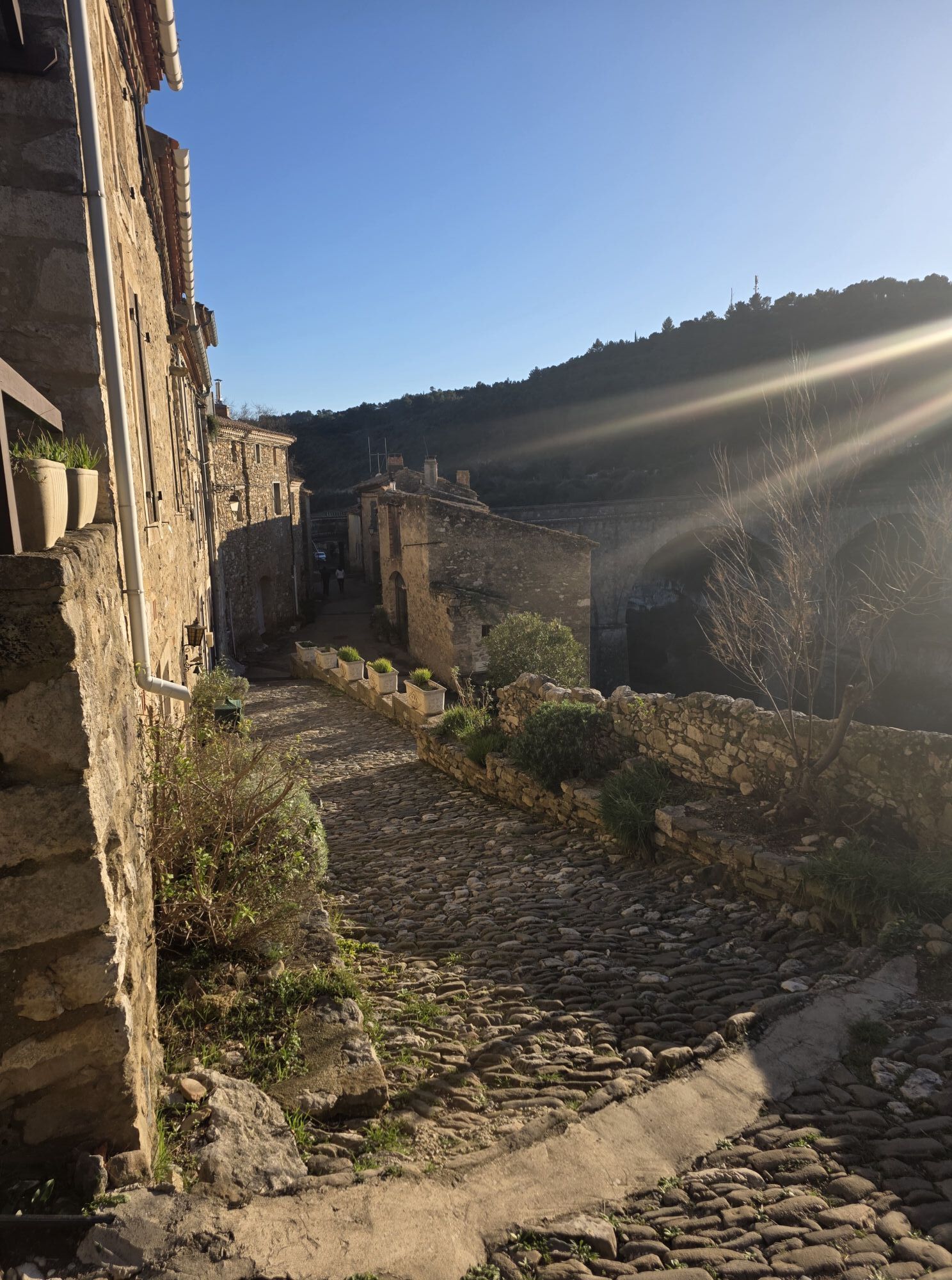
After fully exploring the rich history of Minerve and the splendor...
After fully exploring the rich history of Minerve and the splendor of the site, you take the Passa Meridia Sud again. From the gorges of the Cesse and their troglodyte dwellings, you will cross the Causse to enjoy wide views over the plain of Carcassonne, the Corbières, and the Pyrenees. Continuing along the Cesse, you will reach the hamlet of Cantignergues under the protection of oak forests and chestnut groves. Your next stage's end will take you to Ferrals-les-Montagnes, a village perched on the Tarn border, in lush landscapes.

1
From the access bridge to the City of Minerve: Climb left to the D 10 intersection then go up right for 50 m and turn left into the one-way alley. Pass the parking lot and take a single track straight ahead for 350 m (Viewpoint on the City of Minerve and Cesse Valley). At the stairs, go straight ahead and continue on the paved road. At a bend, go straight on the vineyard path to the Pech winery to reach the D 10E2 crossroads.
2
D 10E2 crossroads: Turn right and continue on the road for 250m. At the intersection follow Faysses Fenouses, then turn left onto the dirt path and follow the direction of Auzine. After a bend, veer right on a single track for 500 m. Turn right and continue straight until the D 10 connection. Climb 20 m to move away from the bend, cross D10 (Attention!!!) and go down to the right towards Prat Quilleran. From La Cigalière, follow the paved path towards Montcélébre.
3
Montcélébre: At Font del Renar intersection, turn right to pick up D 10E1 at a junction. Go down 300 m and take a track straight ahead. Pass the Fauzan site parking and take a path (View of the Cesse gorges). At the fork, climb left between the vines then turn right onto a stony path (old Fauzan phosphate factory) to join D 182. Turn right and follow it for 1 km, at the junction follow the direction of Curiosity towards the Forest House.
4
The Forest House: Continue and travel the track straight ahead for 2.5 km (Panorama of the Black Mountain, the Aude plain, the Pyrenees and the Corbières) to rejoin D182. Turn right towards the parking area of the Meulières Trail. Turn right at the green DFCI barrier (Stone mill of the era). After the enclosures of the equestrian center, take the road to St Julien des Meulières.
5
St Julien des Meulières: After turning right at the departmental parking area, cross the hamlet via D12 then go down 500 m. Take the hairpin right on D12E6 towards Cantignergues.(Warning narrow secondary road, low traffic). After crossing the Cesse bridge, climb towards the hamlet.
6
Cantignergues: Climb up the main alley and cross the hamlet. At the exit, go down right and continue on the main track for 1.5 km. After a hairpin, turn left on an ascending track. At the track junction, go straight to reach a DFCI tank. At another junction, turn left on the ascending track and cross the Ferrals communal forest. Then descend by a stony path to D147E2. Take it left and reach the center of the village of Ferrals.
7
Ferrals-les-Montagnes: End of the stage (accommodation, catering, water point, ...). Visit the village's atypical alleys and its surroundings.
MINERVE
MINERVE
Warning crossing the Cesse in case of flood take D10 to access Minerve.
Be cautious when crossing D10 towards Prat Quilleran.
Check with town halls or the Departmental Hunting Federation for the days and zones of hunts.
Attention!!! Respect the crossing of private properties and crops on the route.
Follow recommendations in the Minervois State Forest during fire risk periods.
Red mountain bike markers
Green signage poles
+33 4 67 97 06 65
MINERVOIS CAROUX TOURIST OFFICE
Great MTB-FFC Crossing
Priljubljeni izleti v okolici
-
HIKING IN THE TOWN OF MINERVE
srednjaPohodništvo 8.79 km -
Peyremaux rock
težkoPohodništvo 13.3 km -
HIKING AIGUES-VIVES THE BANKS OF THE CESSIÈRE
svetlobaPohodništvo 7.52 km -
CIT'ART HIKE OF THE HAUTS DE FERRALS
srednjaPohodništvo 15.5 km -
CAR-FREE NATURE ESCAPADE IN THE GREAT SITES - FROM BÉZIERS TO CARCASSONNE VIA THE NORTH
srednjaKolesarjenje 139.6 km -
CYCLE LOOP NO.12 - THE ASSAULT ON THE HAUT-LANGUEDOC FROM MINERVE
svetlobaKolesarjenje 37.3 km -
OENORANDO® DES MOURELS
svetlobaPohodništvo 6.03 km -
CYCLING ROUTE NO.6 - THE VINEYARD OF MINERVOIS AND SAINT-CHINIAN
svetlobaKolesarjenje 49.9 km -
MEDIEVAL ROUTE THROUGH THE MINERVOIS VINEYARD
Motorno kolo 28.8 km -
LA MOTA DOÇA HIKE
srednjaPohodništvo 8.53 km

Pohodništvo in sledenje


Ne zamudite ponudb in navdiha za naslednje počitnice
Vaš e-poštni naslov je bil dodan na poštni seznam.