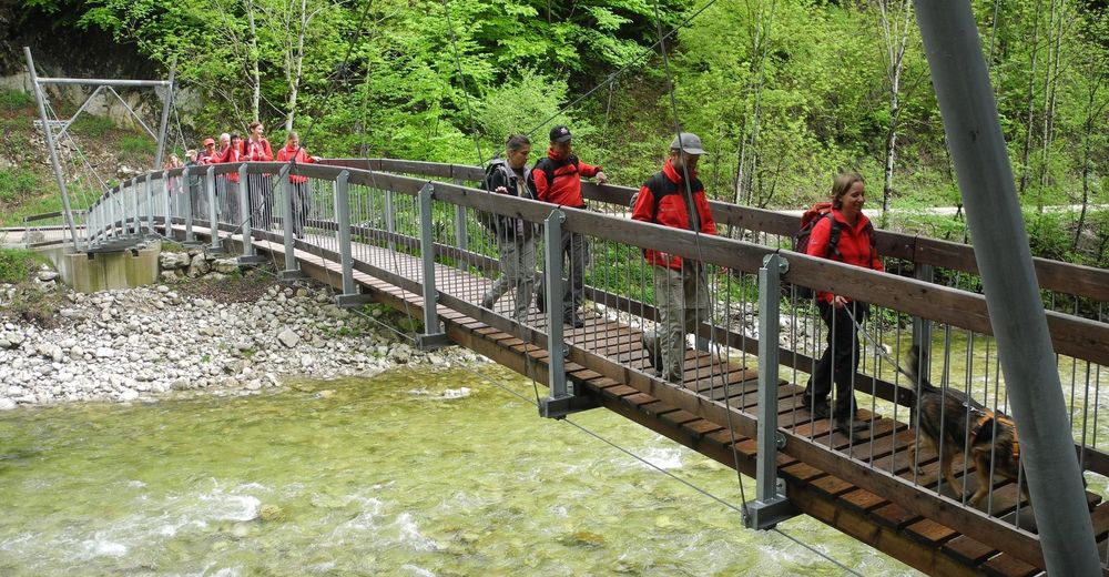
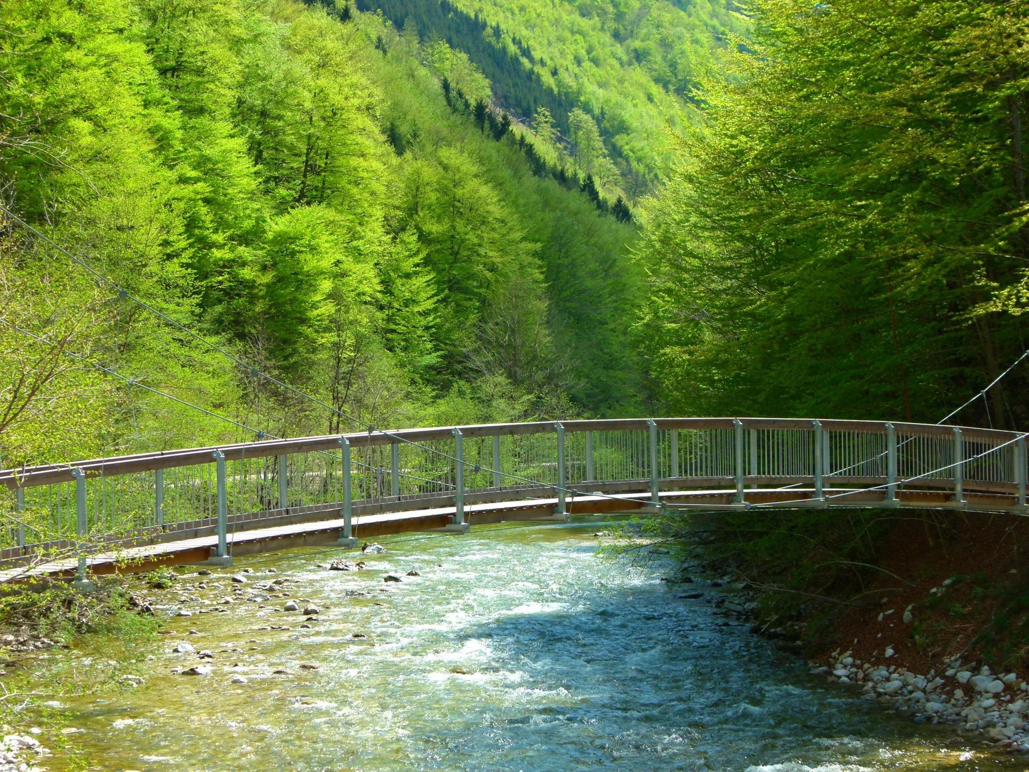
Wilderness Trail Buchensteig (Reichraminger Hintergebirge)

Tematska pot

© Nationalpark Kalkalpen/Sieghartsleitner - <a href="http://www.kalkalpen.at">Nationalpark Kalkalpen</a>

© Nationalpark Kalkalpen - <a href="http://www.kalkalpen.at">Nationalpark Kalkalpen</a>

© Nationalpark Kalkalpen/Rieder - <a href="http://www.kalkalpen.at">Nationalpark Kalkalpen</a>

© Nationalpark Kalkalpen - <a href="http://www.kalkalpen.at">Nationalpark Kalkalpen</a>

© Nationalpark Kalkalpen - <a href="http://www.kalkalpen.at">Nationalpark Kalkalpen</a>

© Nationalpark Kalkalpen - <a href="http://www.kalkalpen.at">Nationalpark Kalkalpen</a>
© Nationalpark Kalkalpen - <a href="http://www.kalkalpen.at">Nationalpark Kalkalpen</a>
© Nationalpark Kalkalpen/Rieder - <a href="http://www.kalkalpen.at">Nationalpark Kalkalpen</a>

© Nationalpark Kalkalpen - <a href="http://www.kalkalpen.at">Nationalpark Kalkalpen</a>


- Kratek opis
-
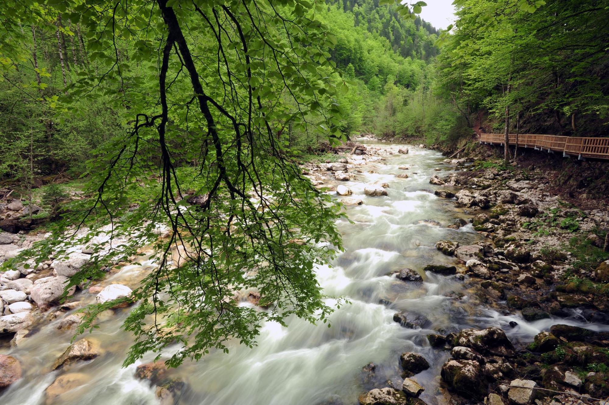
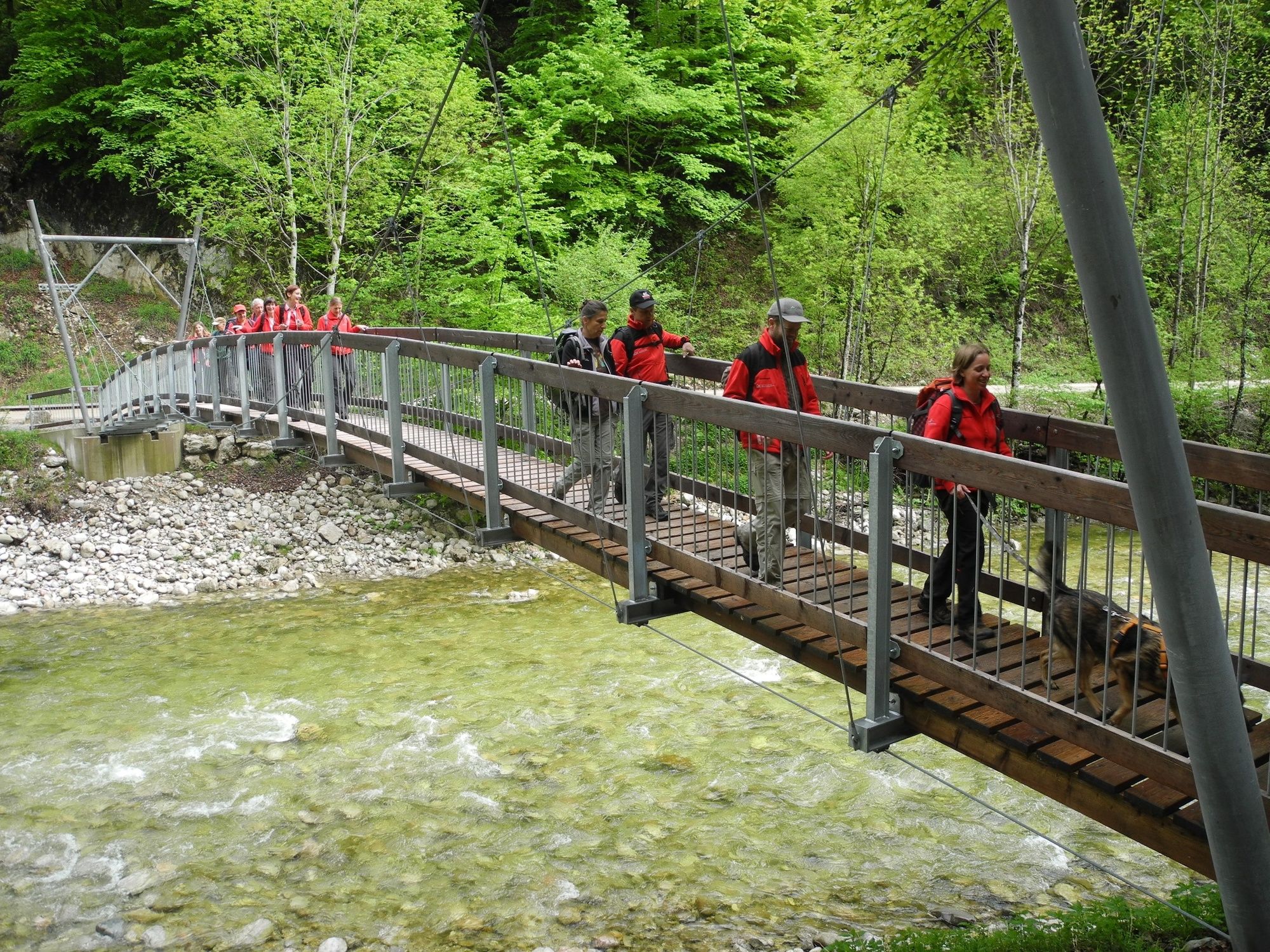
Experience World Natural Heritage!
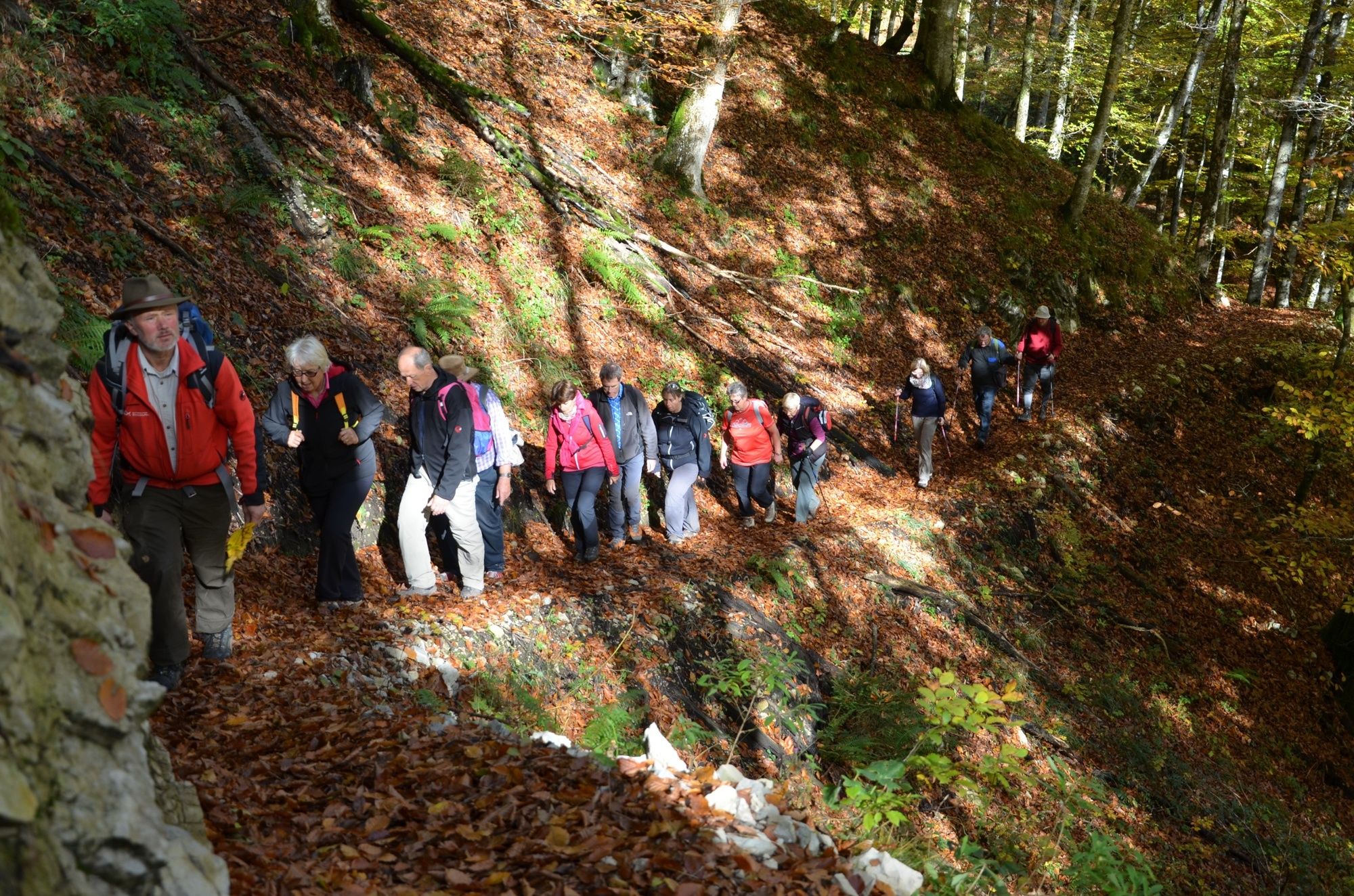
Once woodcutters & alpine farmers used the old way to the Reichraminger Hintergebirge. Depending on your mood or fitness, the trail can be hiked in two stages.
- Težavnost
-
srednja
- Ocenjevanje
-
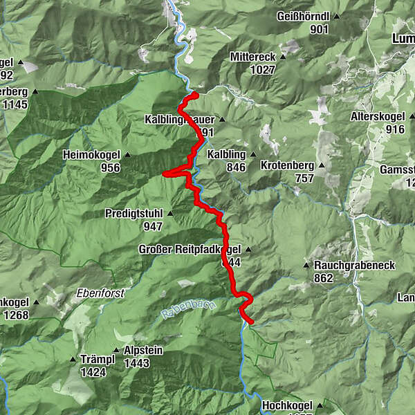
- Pot
-
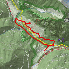
Wilder Graben3,1 kmGroße Klaushütte9,5 km
- Najboljša sezona
-
janfebmaraprmajjunjulavgsepoktnovdec
- Najvišja točka
- 525 m
- Destinacija
-
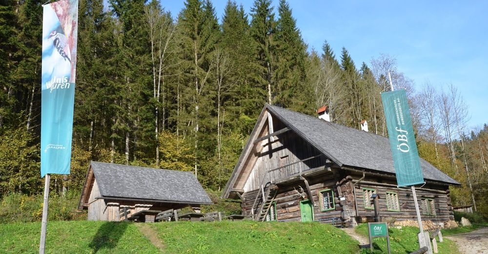
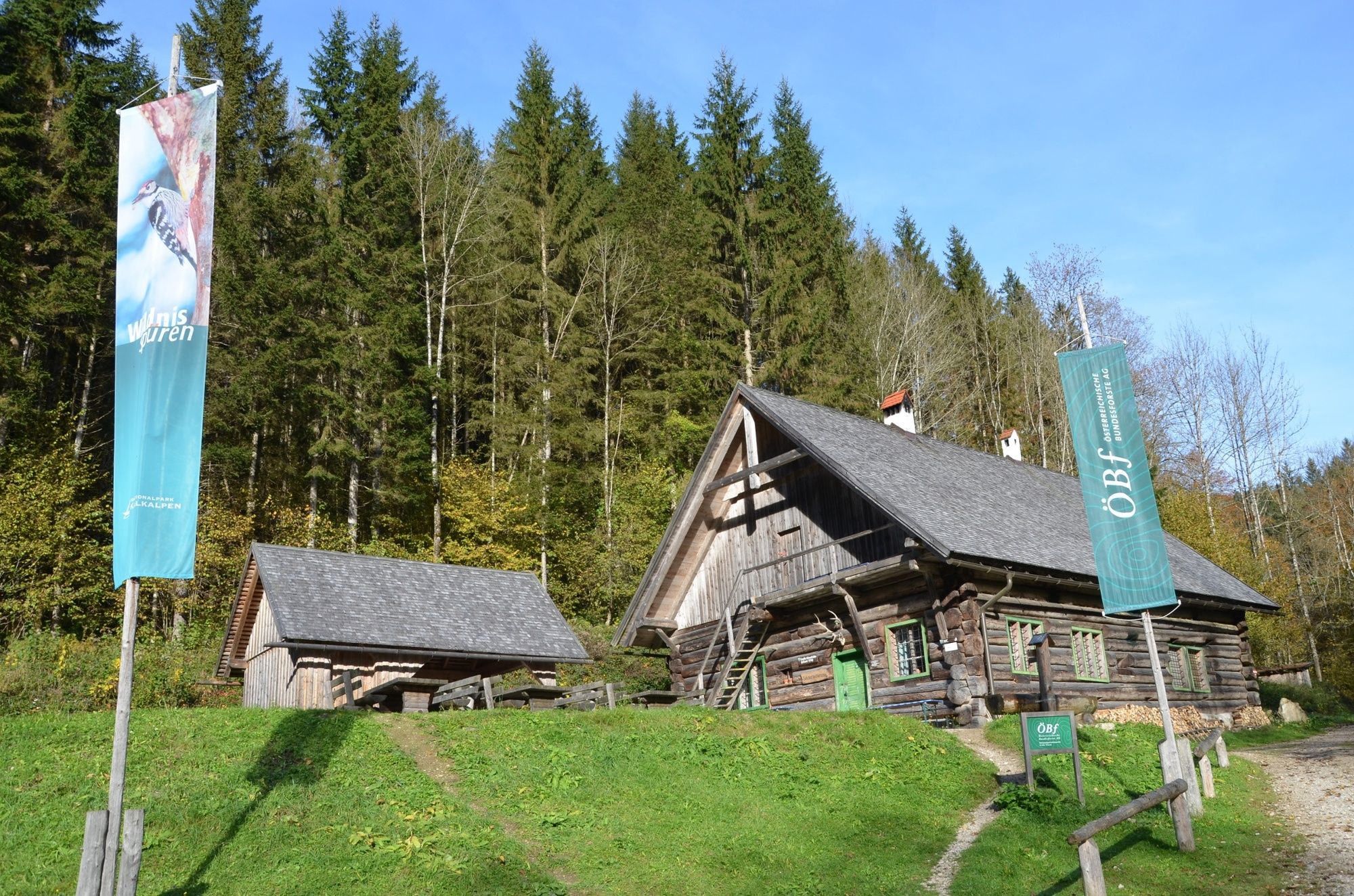
Klaushütte
- Profil nadmorske višine
-


- Avtor
-
Turneja Wilderness Trail Buchensteig (Reichraminger Hintergebirge) uporablja outdooractive.com na spletni strani ..
GPS Downloads


Splošne informacije
Postanek za osvežitev
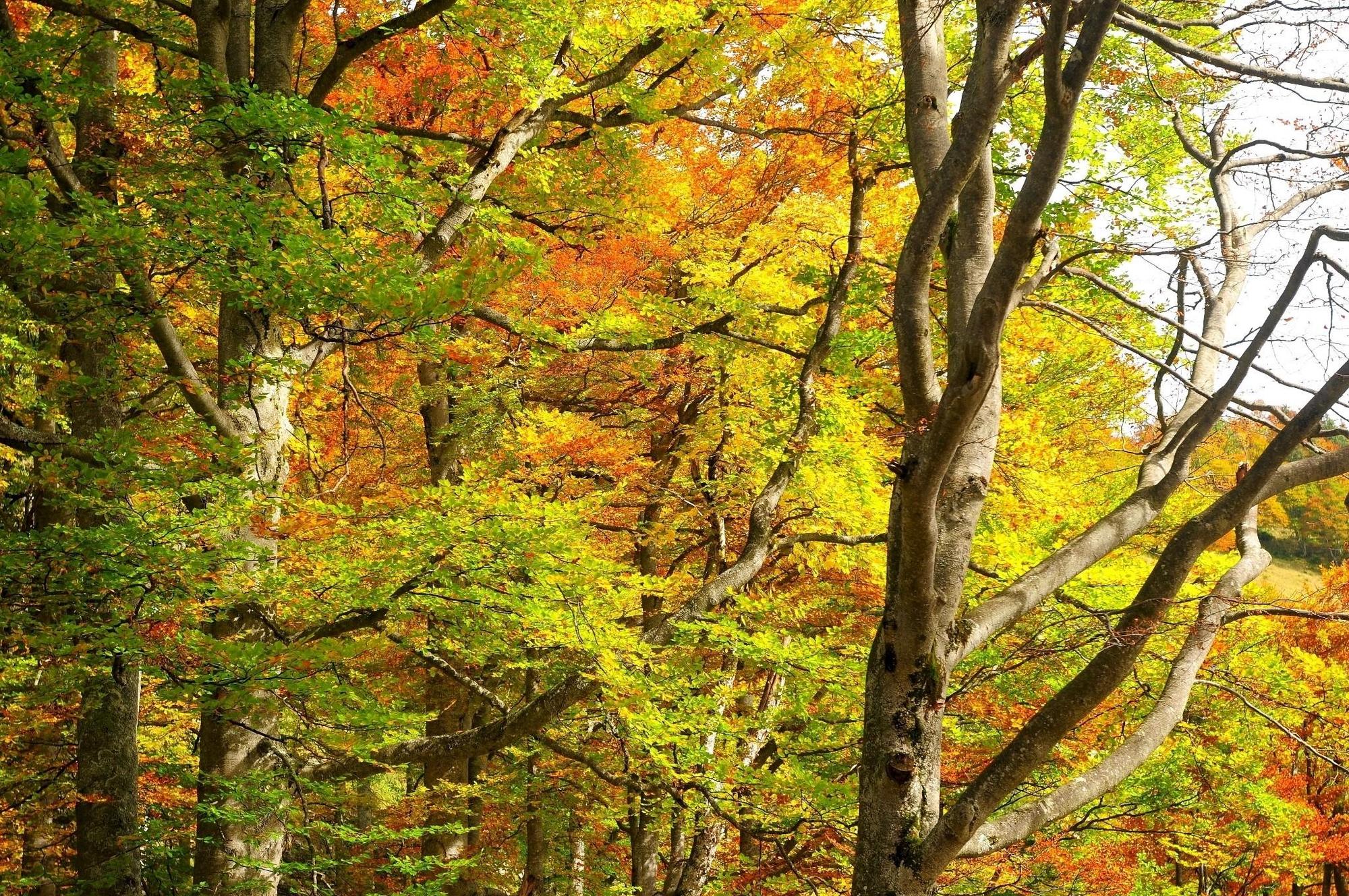
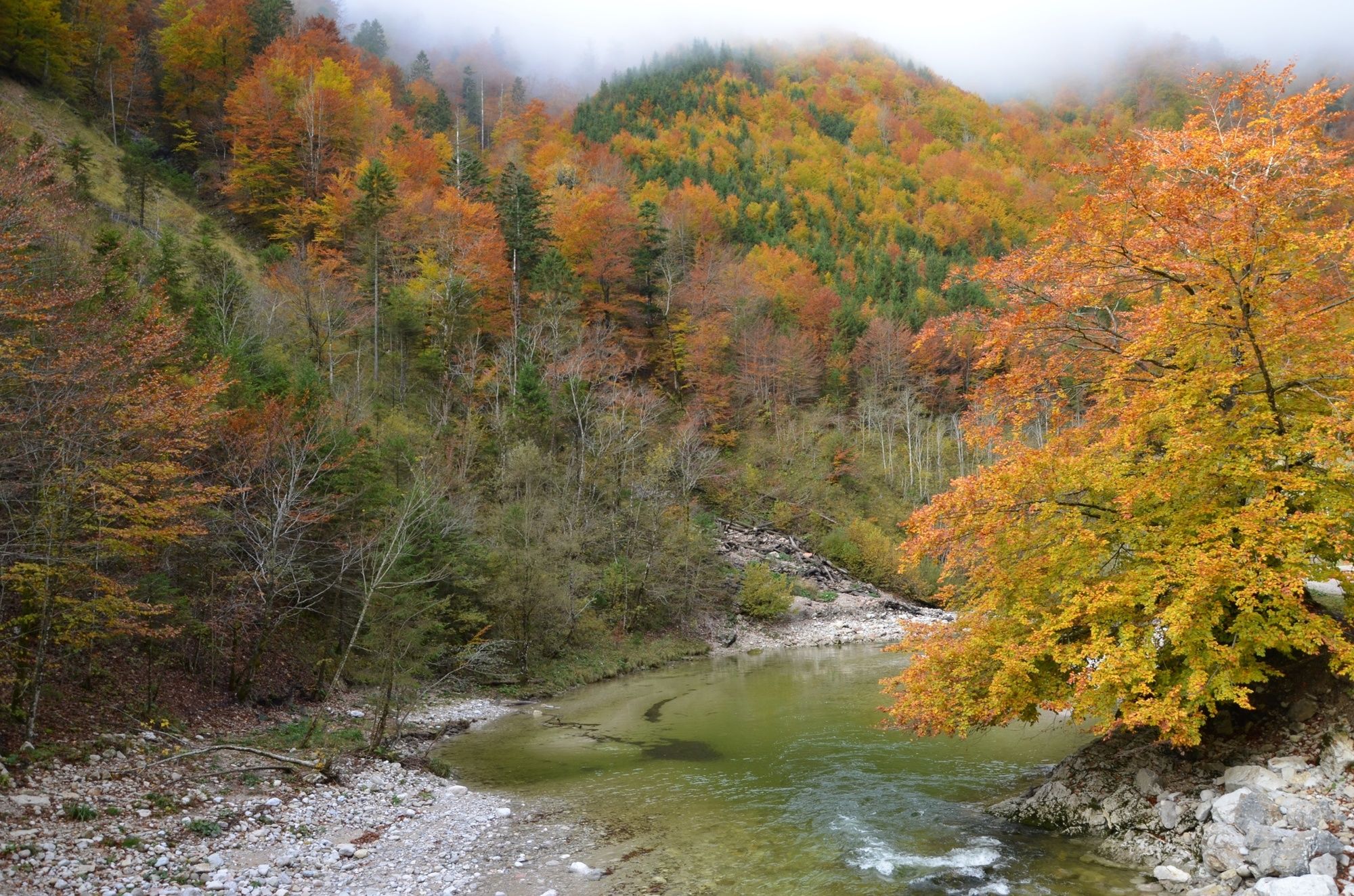
Flora
Več izletov v regijah
-
Traunviertel
1939
-
Steyr und die Nationalpark Region
1369
-
Reichraming
363