© Verein Mühlviertler Granitland


- Kratek opis
-
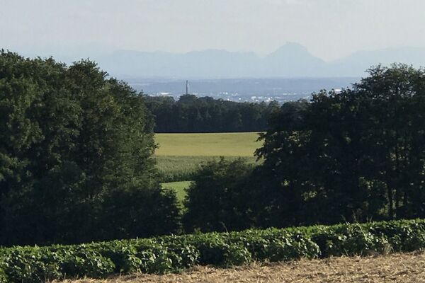
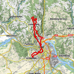
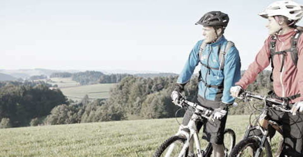
This route leads from the lowest to the highest point of the Granite Land South - from the Danube to the Gis.
- Ocenjevanje
-
- Pot
-
Ottensheim0,3 kmAmberg5,3 kmGramastetten8,2 kmGasthaus zur Gis15,9 kmLichtenberg19,6 kmLandgasthaus Holzpoldl20,7 kmNeulichtenberg20,7 kmKoglerauer Spitz (685 m)24,0 kmKöglerhof24,4 kmDürnberg27,9 kmGuckerstein28,2 kmGasthaus Dürnberg30,8 km
- Najboljša sezona
-
janfebmaraprmajjunjulavgsepoktnovdec
- Najvišja točka
- 884 m
- Profil nadmorske višine
-


- Avtor
-
Turneja MTB - Danube GIS circuit uporablja outdooractive.com na spletni strani ..
GPS Downloads


Splošne informacije
Postanek za osvežitev
Obetavno
Več izletov v regijah
-
Mühlviertel
194
-
Linz & Region Linz
95
-
Eidenberg
39