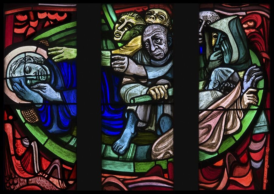
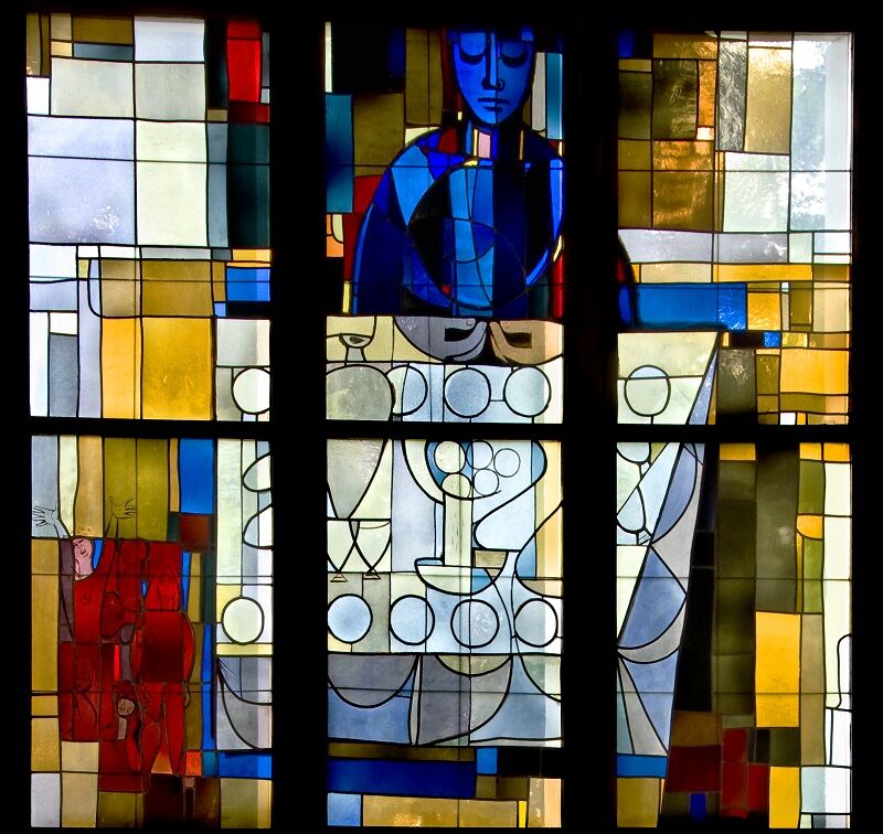
© Unbekannt - Hans Fischer

© Unbekannt - Hans Fischer
- Težavnost
-
težko
- Ocenjevanje
-
- Pot
-
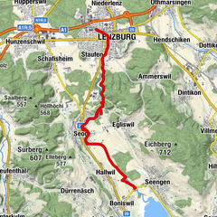
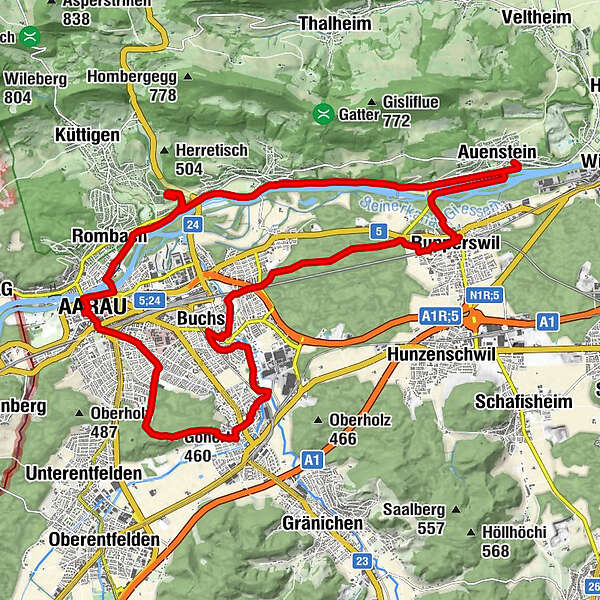
Stadtkirche0,0 kmAarau (381 m)0,1 kmGönhard1,0 kmGönert2,8 kmGönert (460 m)3,3 kmSuhrerchopf (465 m)4,0 kmSuhrechopf4,0 kmSuhr (397 m)4,6 kmMunimatte6,5 kmWynenfeld6,6 kmLochergrien6,6 kmOberdorf7,1 kmKatholische Kirche St. Johannes7,4 kmBuchs (386 m)7,7 kmReformierte Kirche Buchs7,8 kmAarau (381 m)7,9 kmStampfigrien8,4 kmIm Hag8,8 kmSuret12,6 kmGrabenächer13,0 kmGrienächer13,1 kmRupperswil (374 m)13,7 kmUnterdorf13,7 kmReformierte Kirche13,7 kmRupperswil (374 m)13,8 kmMartiloo14,1 kmSteimatte14,3 kmAuenstein (374 m)16,3 kmRain20,6 kmBiberstein (393 m)21,3 kmBibersteiner Wasserfall21,3 kmKirche Kirchberg23,7 kmRombach (377 m)25,7 kmStadtkirche27,2 kmAarau (381 m)27,3 km
- Najvišja točka
- 466 m
- Profil nadmorske višine
-
 © outdooractive.com
-

-
AvtorTurneja Felix Hoffmann-Weg uporablja outdooractive.com na spletni strani ..
GPS Downloads


Več izletov v regijah
-
Kanton Aargau
1492
-
Berner Aargau
770
-
Biberstein
241