© Willisau Tourismus - Pi Häfliger


© Willisau Tourismus - Pi Häfliger


- Kratek opis
-
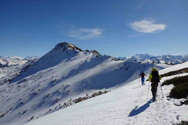
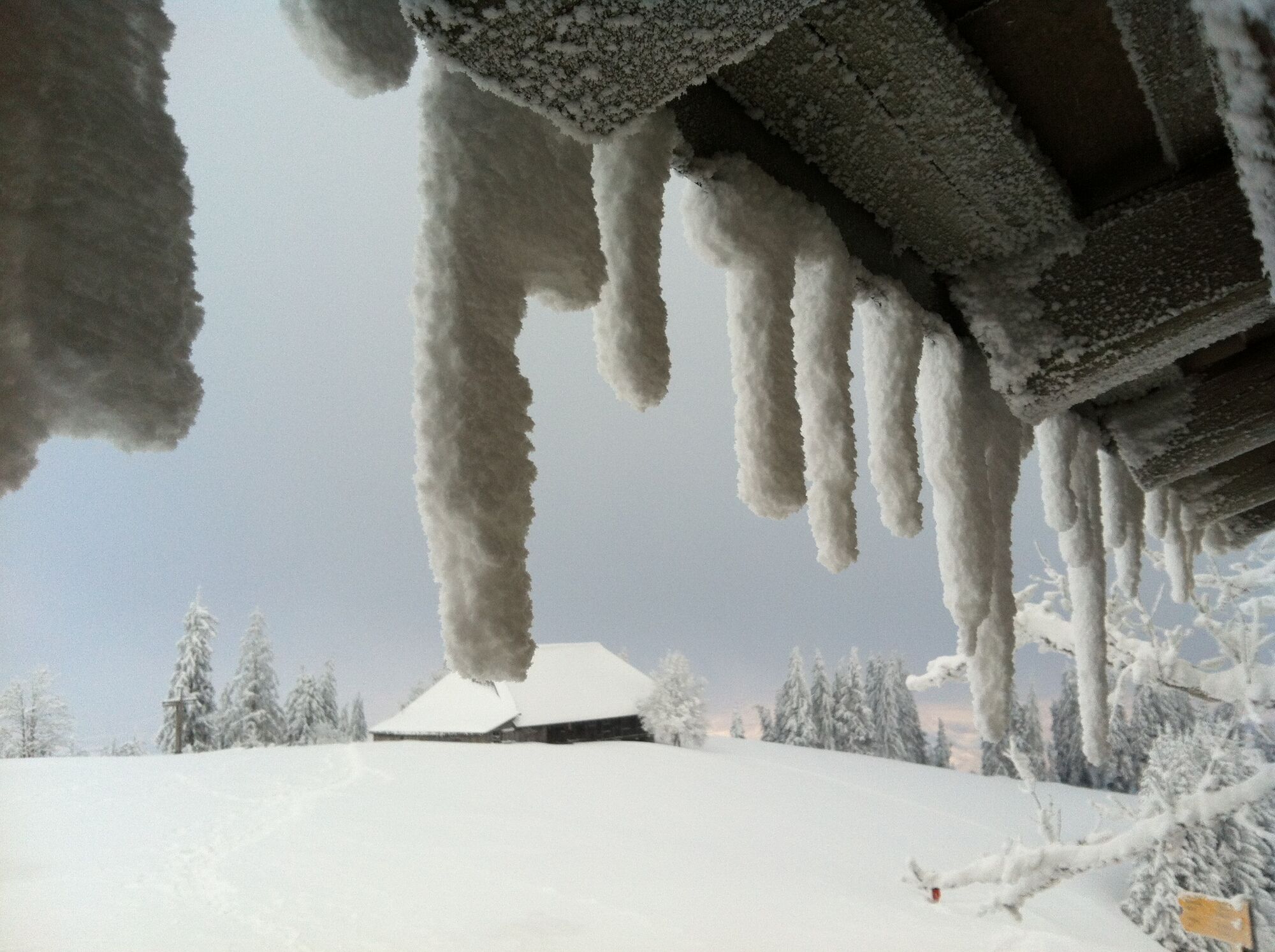
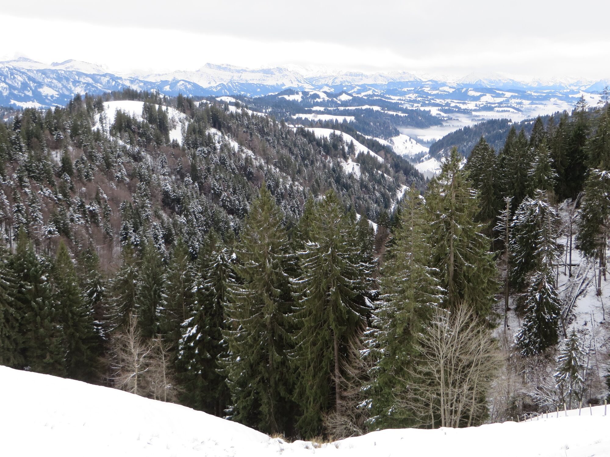
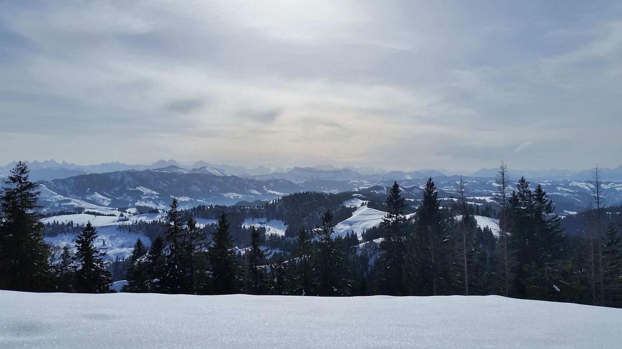
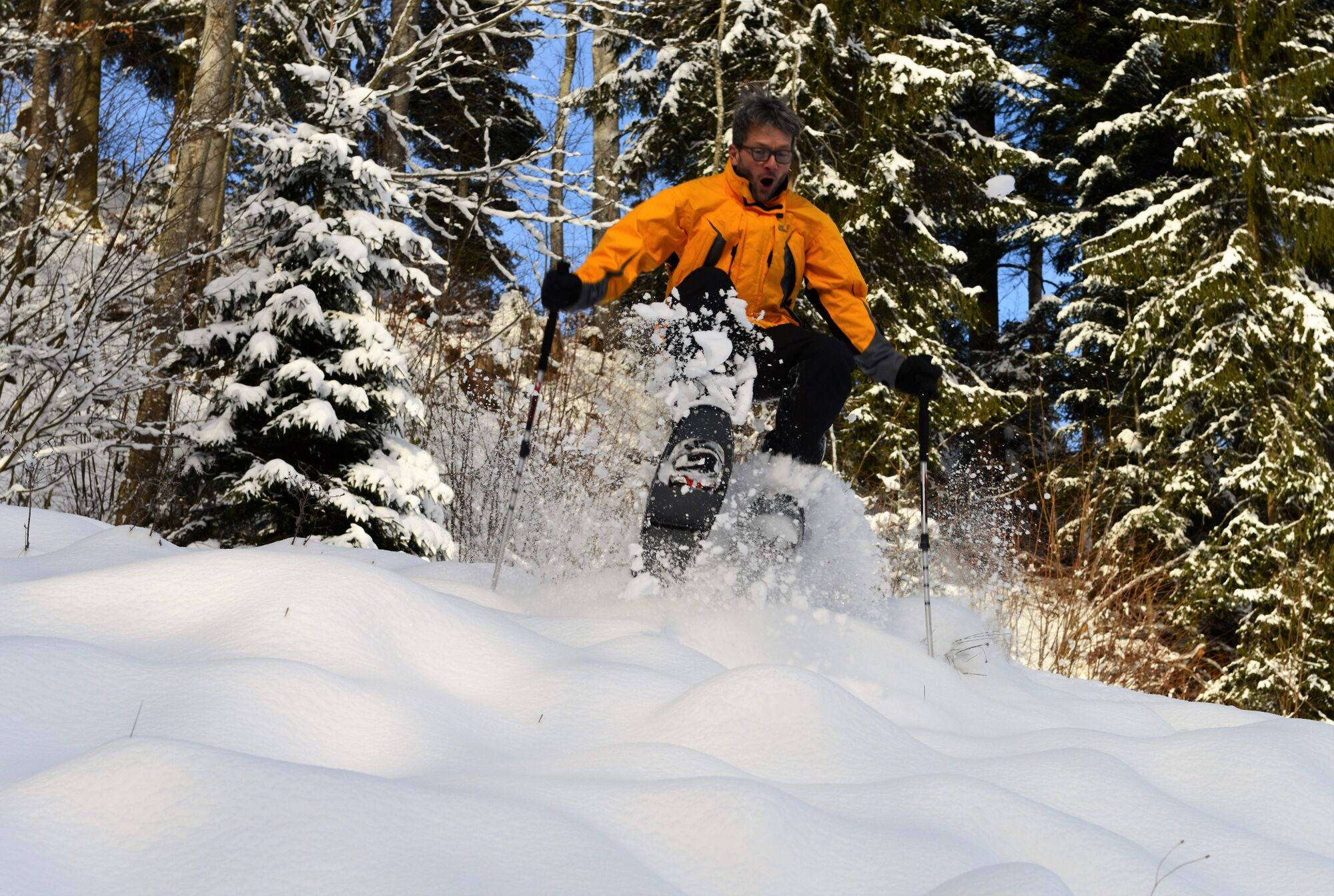
A delightful and well-signposted snowshoeing round trail on the Napf.
- Težavnost
-
težko
- Ocenjevanje
-
- Pot
-
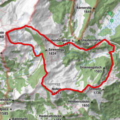
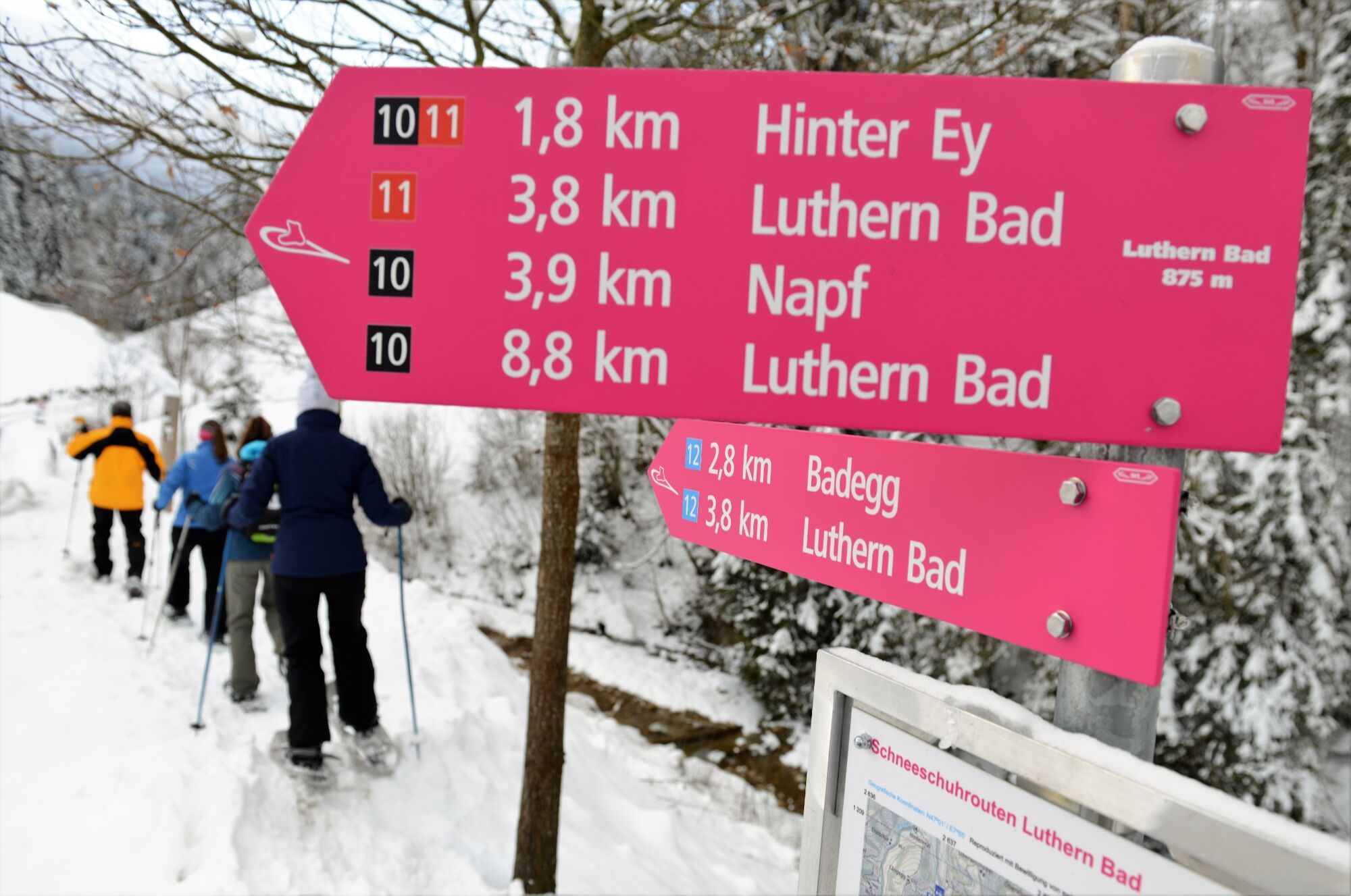
Luthern Bad0,0 kmGasthaus Hirschen0,0 kmHinter-Ey1,9 kmBergwirtschaft Trachselegg2,8 kmNapf4,1 kmGrüeblihängst (1.366 m)4,6 kmEyflue (1.286 m)6,3 kmBergwirtschaft Ober-Badegg8,1 kmGasthaus Hirschen8,9 kmLuthern Bad8,9 km
- Najboljša sezona
-
avgsepoktnovdecjanfebmaraprmajjunjul
- Najvišja točka
- 1.400 m
- Destinacija
-
Luthern Bad
- Profil nadmorske višine
-
 © outdooractive.com

-

-
AvtorTurneja From Luthern Bad to the Napf uporablja outdooractive.com na spletni strani ..
GPS Downloads


Splošne informacije
Postanek za osvežitev
Obetavno
Več izletov v regijah
-
Obwalden
116
-
UNESCO Biosphäre Entlebuch
33
-
Luthern
6