
- Kratek opis
-
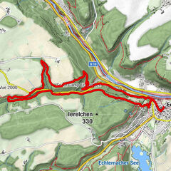
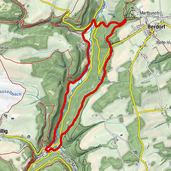
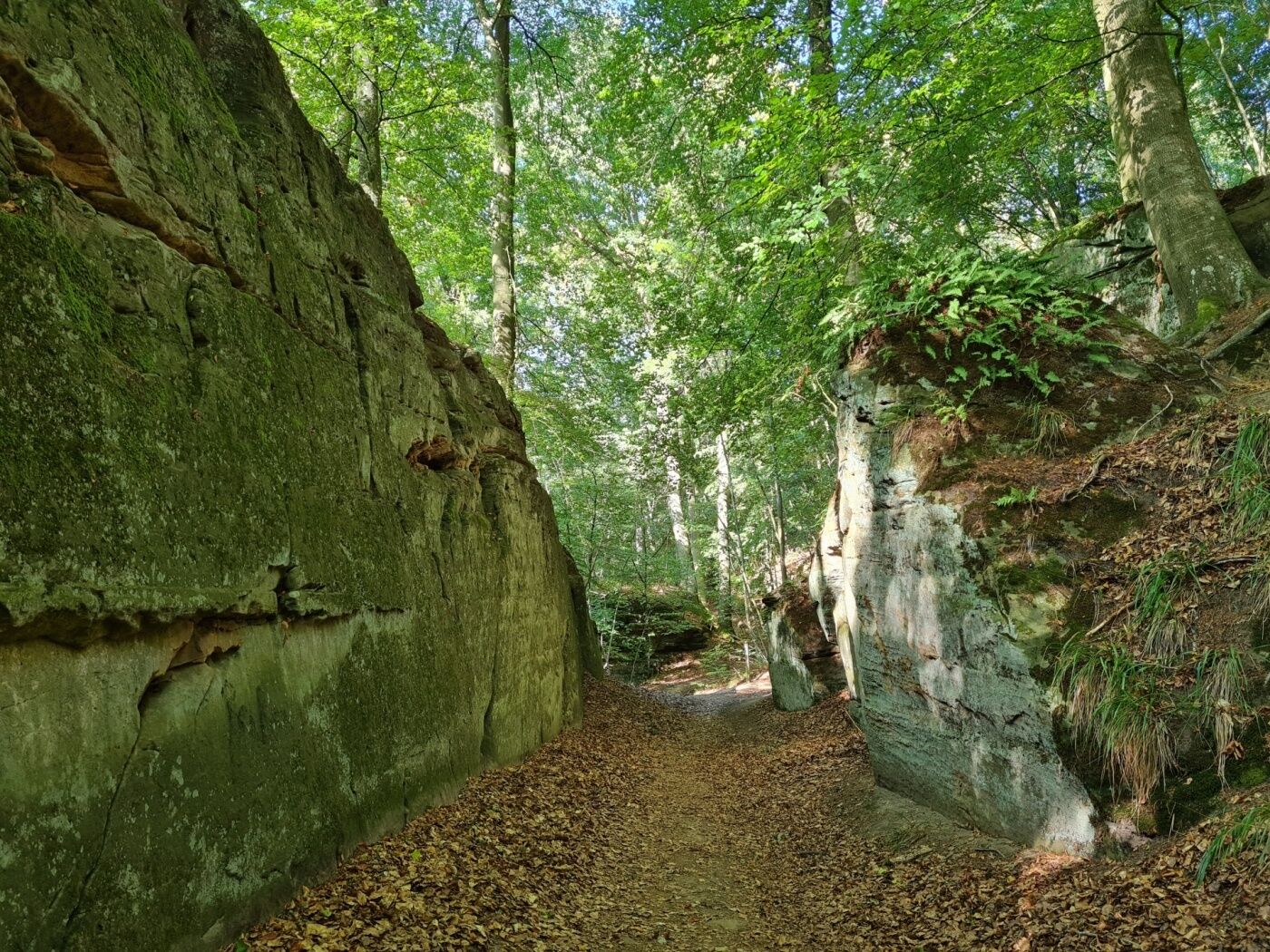
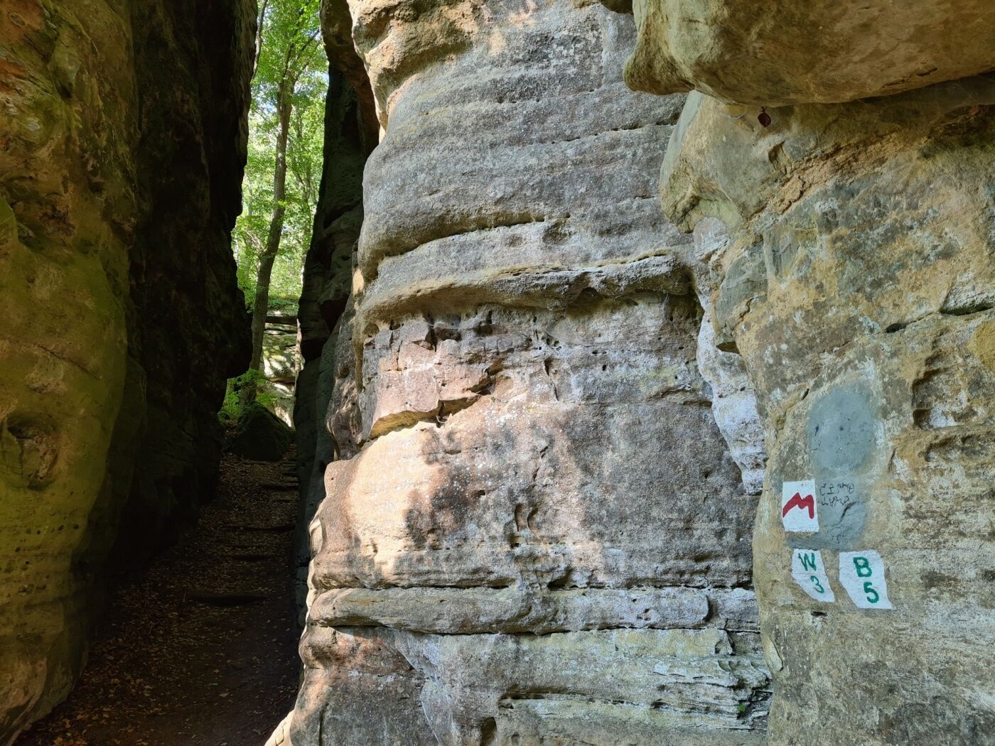
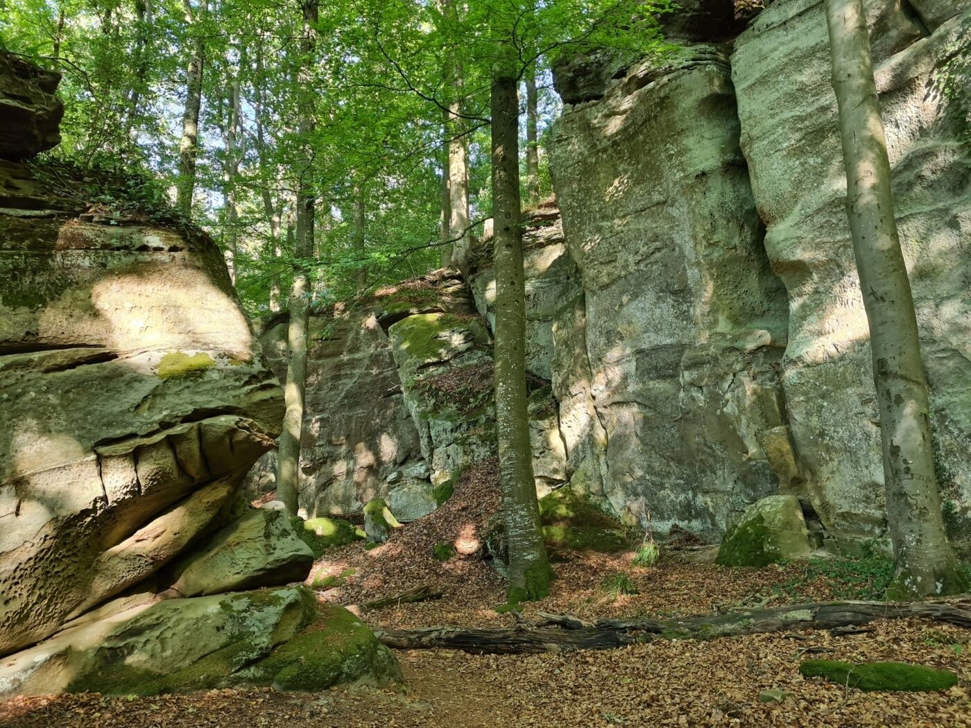
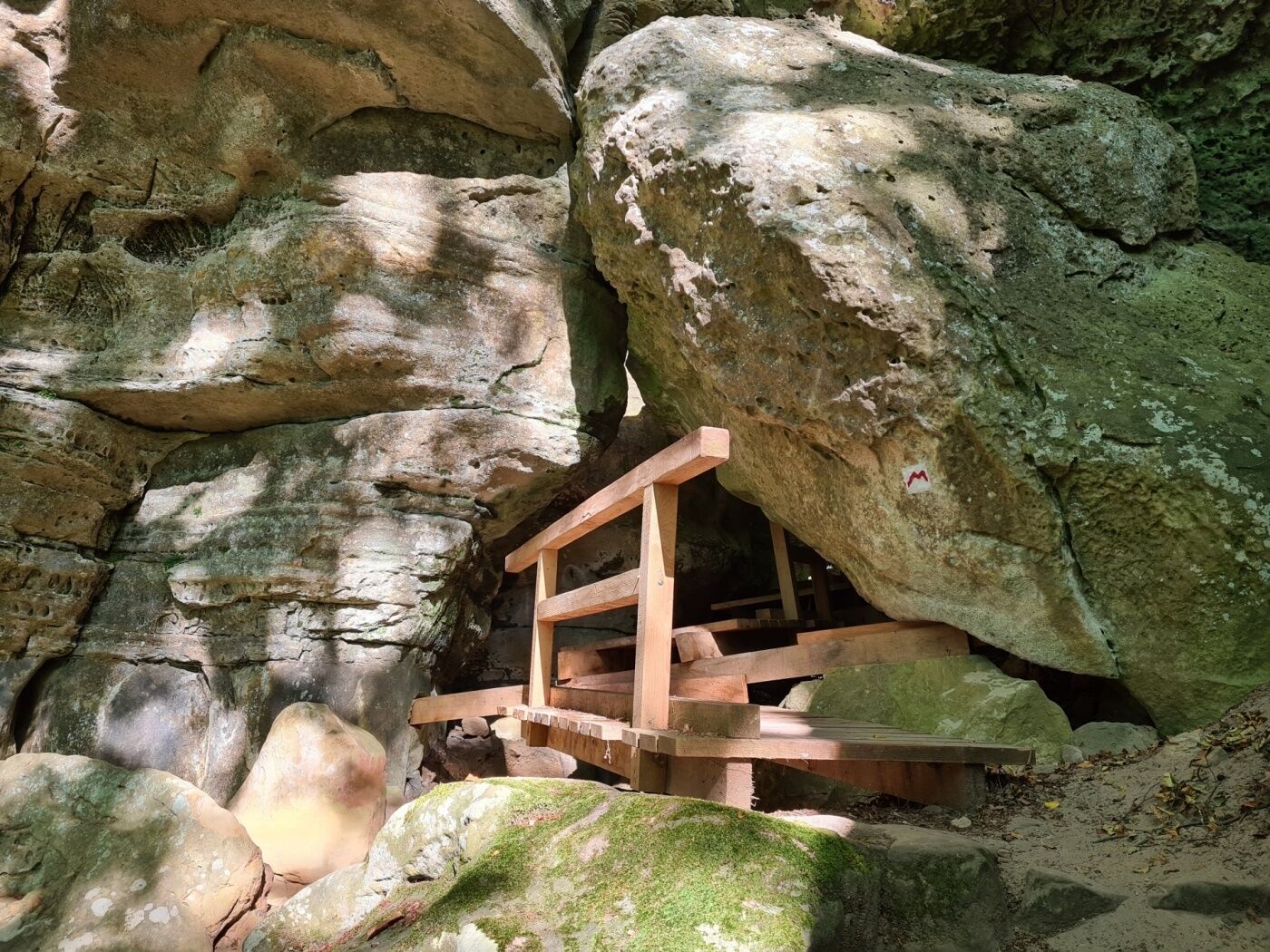
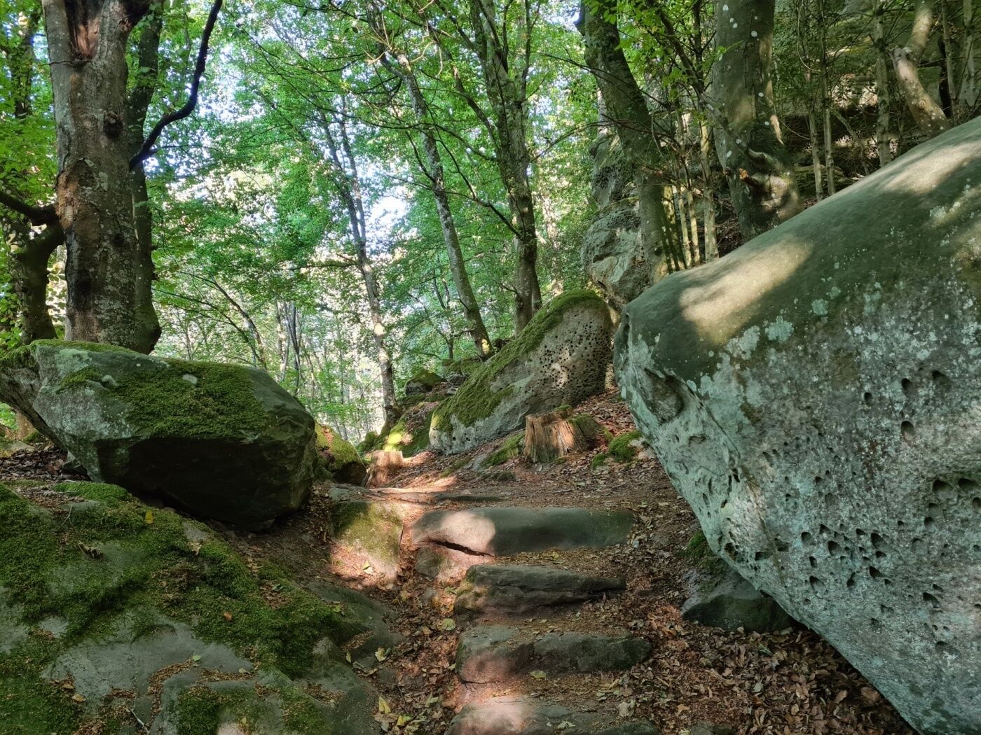
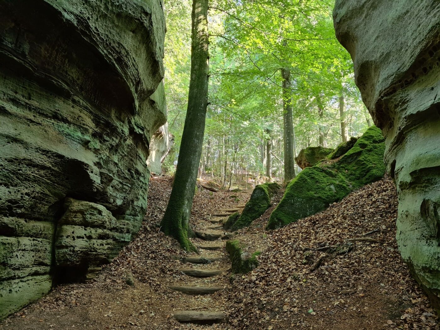
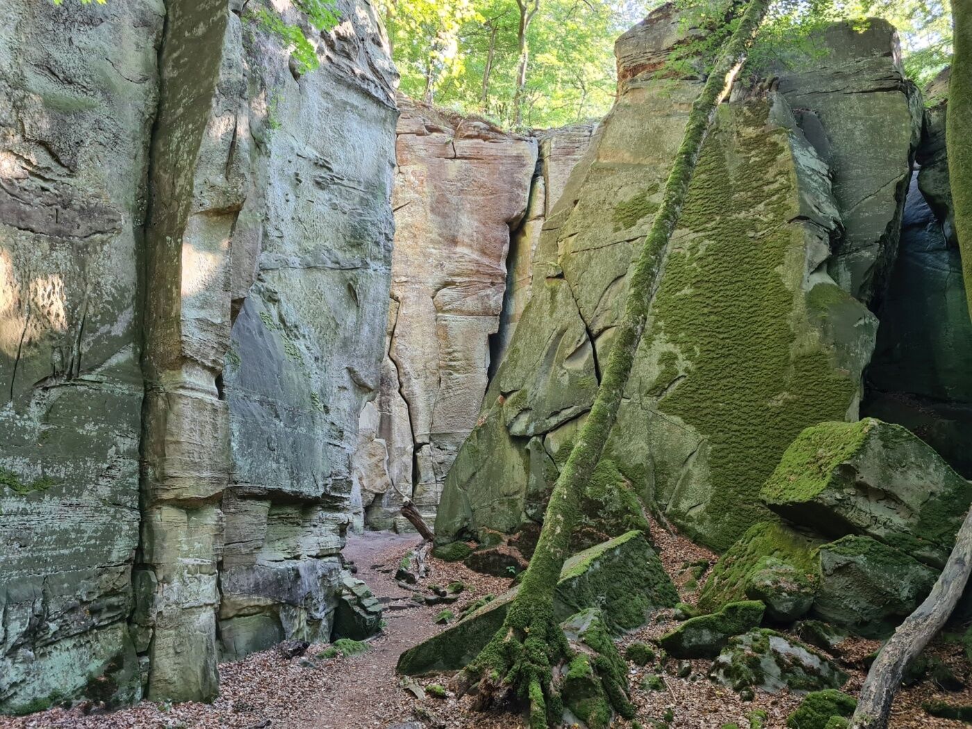
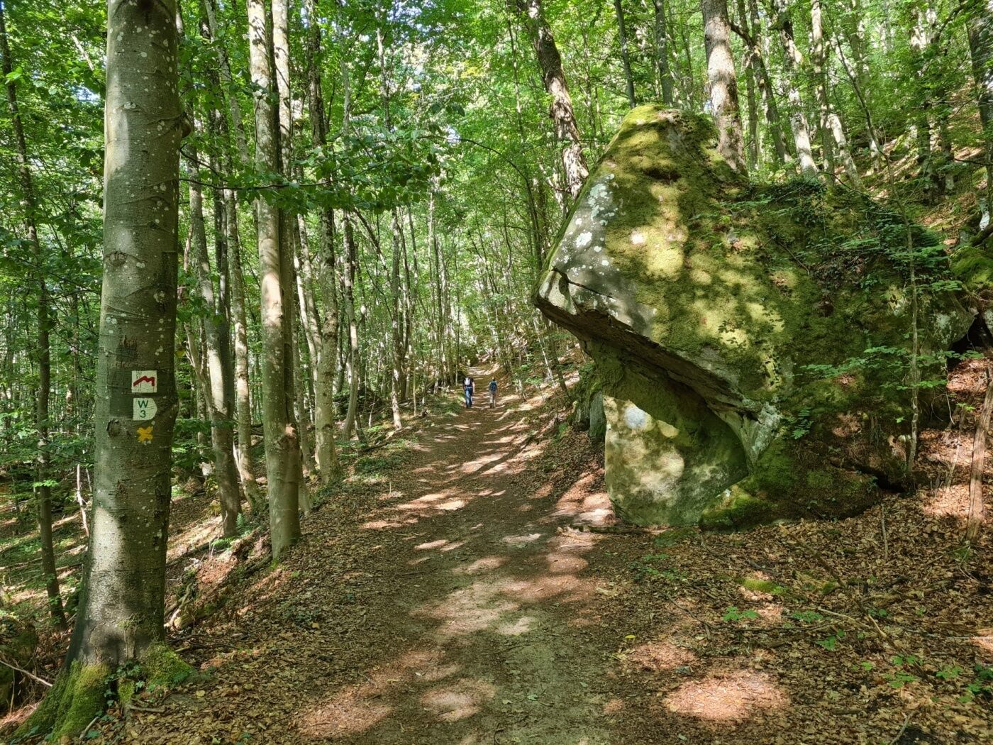
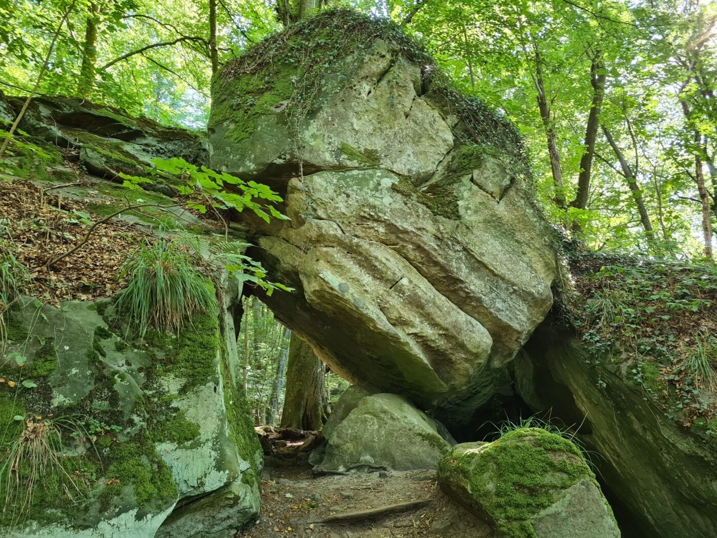
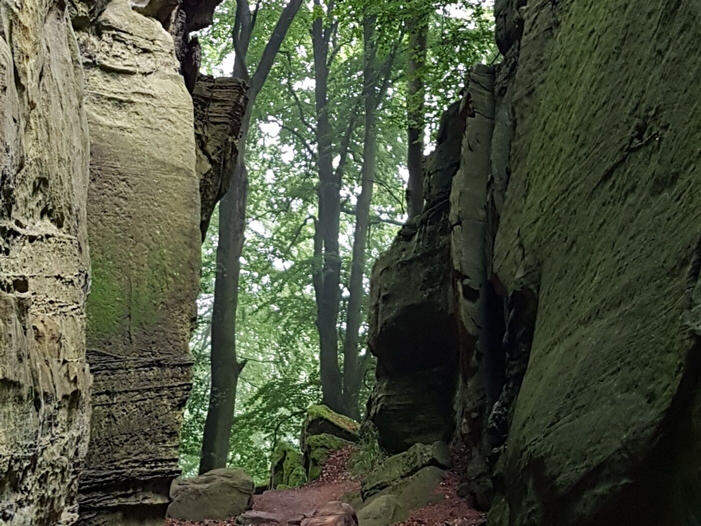
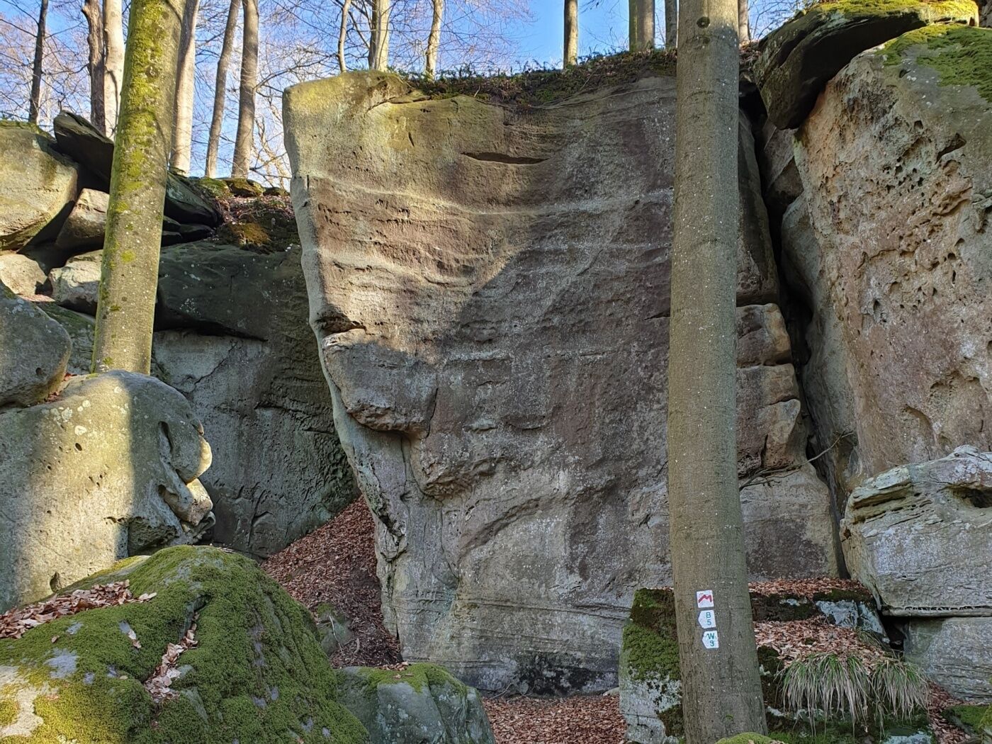
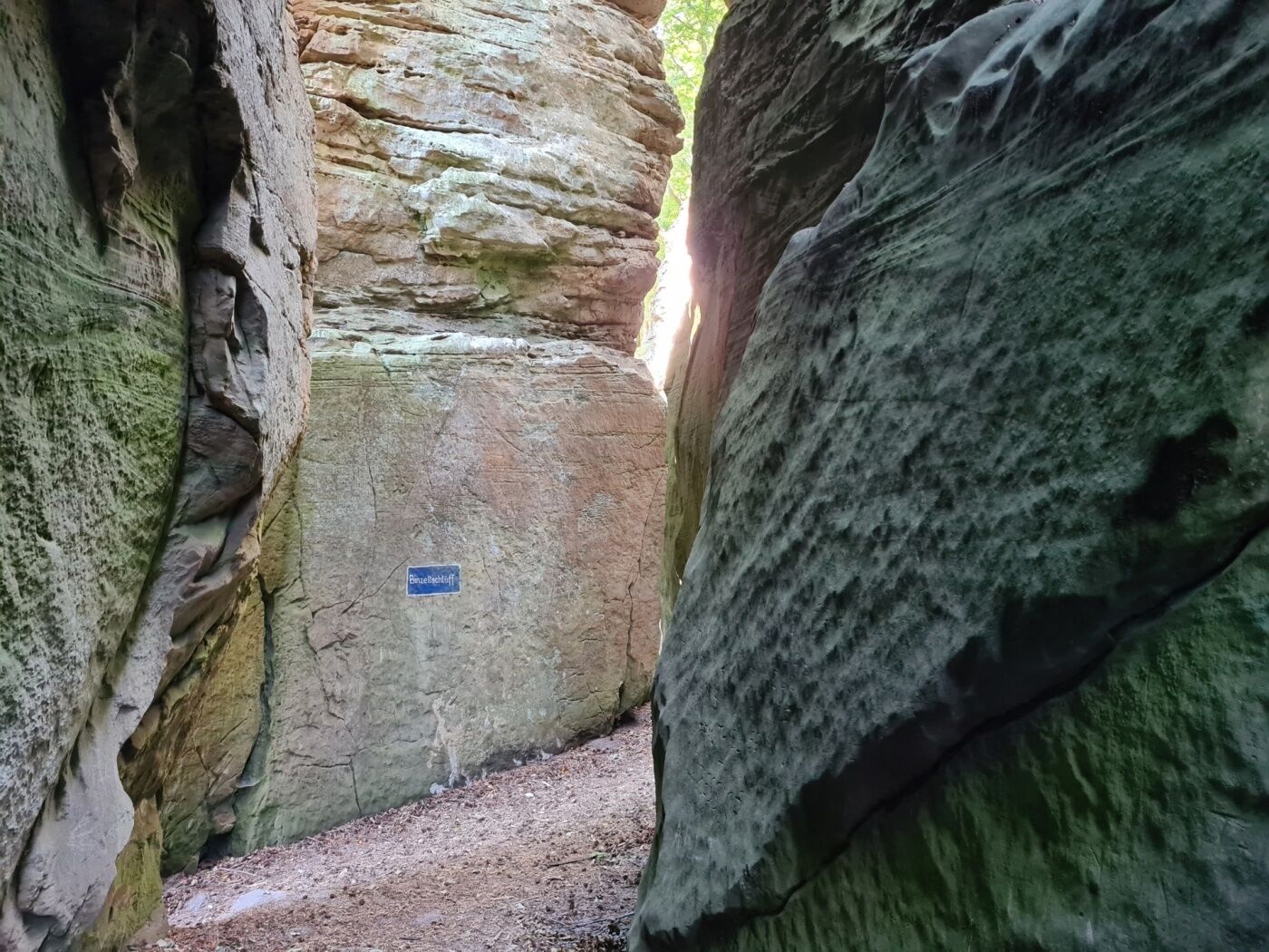
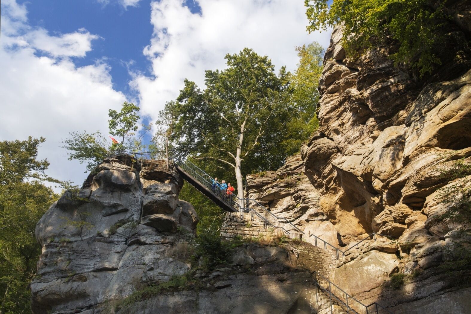
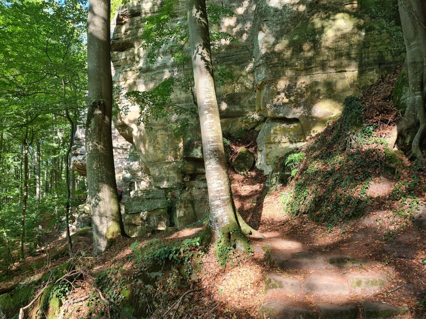
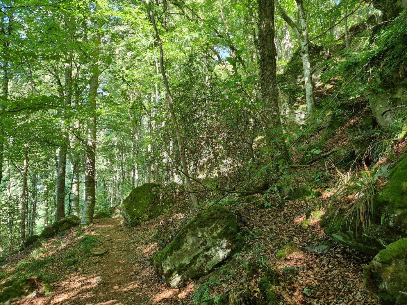
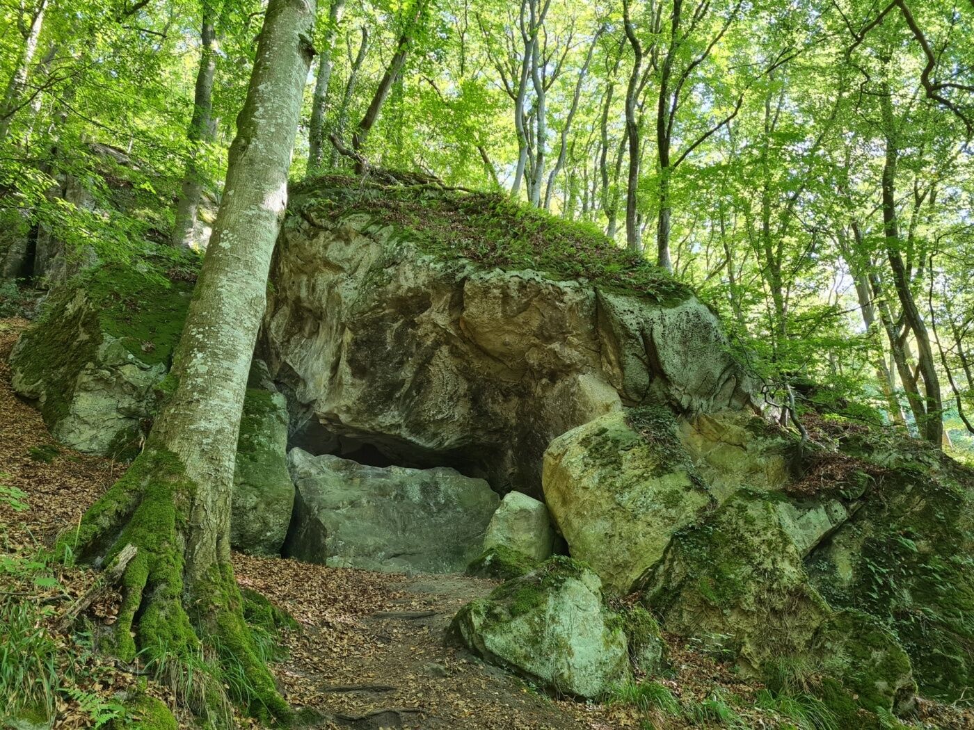
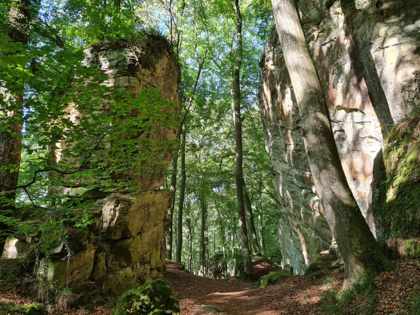
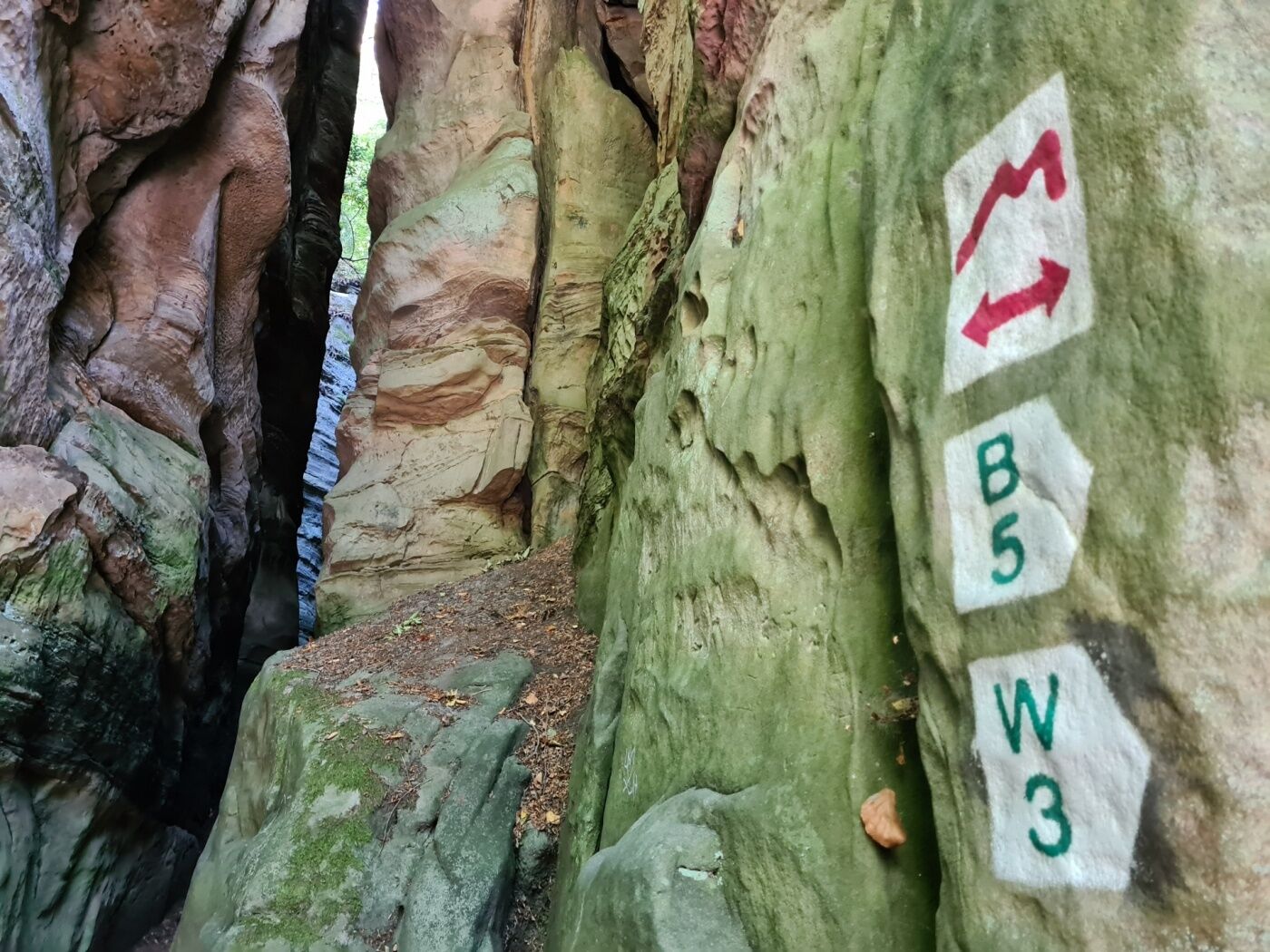
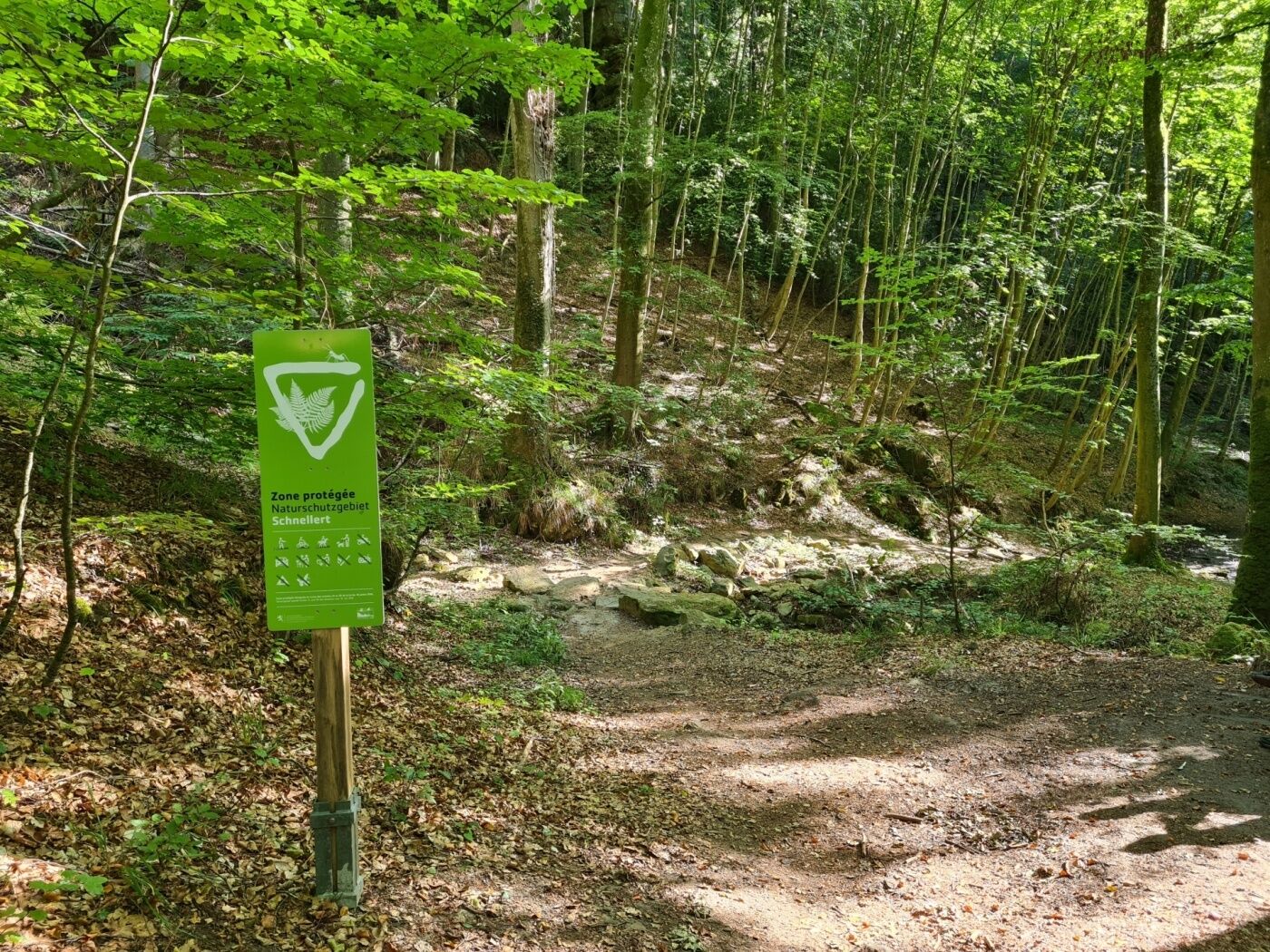
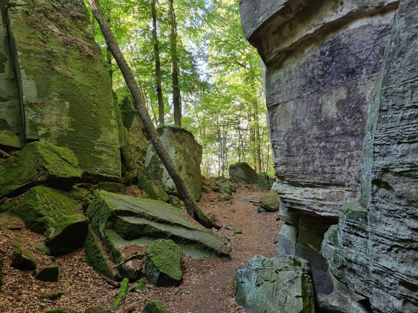
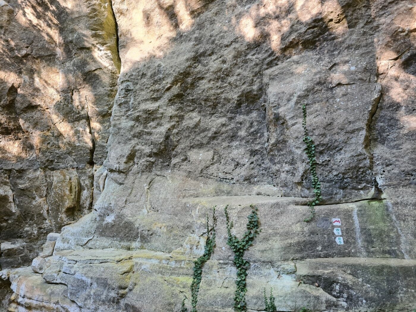
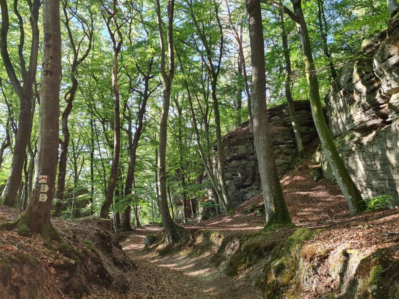
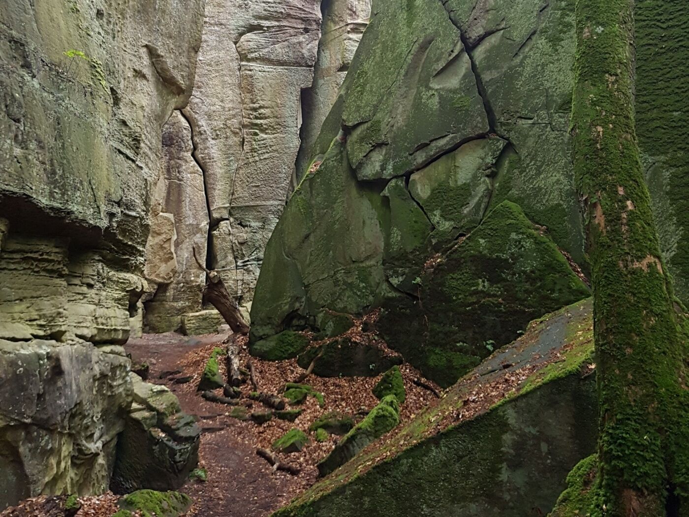
Spectacular rock formations and hiking along a picturesque brook make this trail an absolute highlight.
- Težavnost
-
srednja
- Ocenjevanje
-
- Pot
-
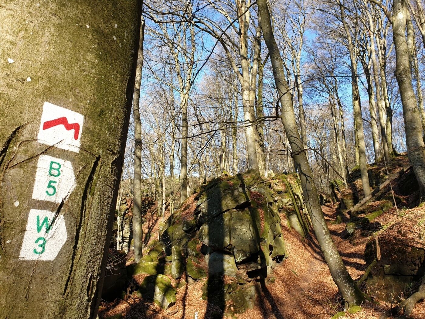
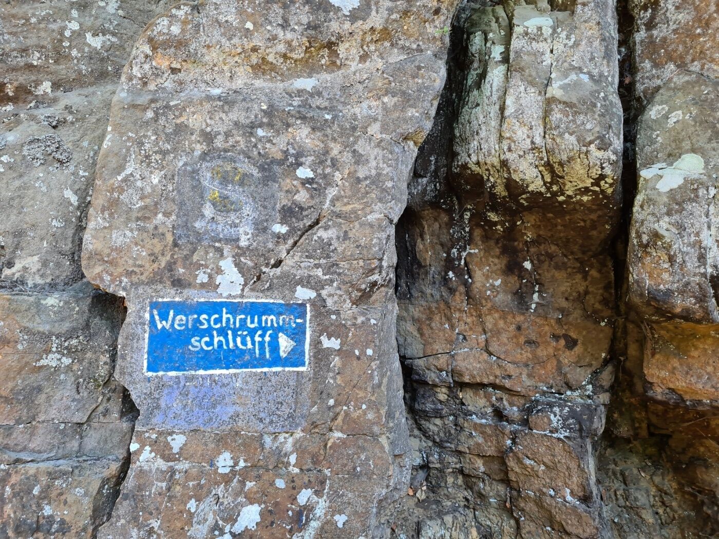
Müllerthal0,1 kmLe Cigalon0,2 kmCave Ste Barbe, Entrance 11,3 kmCave of the Celts1,3 kmGrotte St Jean1,8 kmPredigtstuhl4,3 kmDie Hölle5,4 kmVogelsmühle6,8 kmMüllerthal11,4 km
- Najboljša sezona
-
janfebmaraprmajjunjulavgsepoktnovdec
- Najvišja točka
- 335 m
- Destinacija
-
Mullerthal: Touristcenter Heringer Millen
- Profil nadmorske višine
-
 © outdooractive.com

- Avtor
-
Turneja Local hiking trail - W3 uporablja outdooractive.com na spletni strani ..
GPS Downloads


Več izletov v regijah
-
Müllerthal
548
-
Manternach
167