© Visit Luxembourg - Pancake! Photographie


- Kratek opis
-
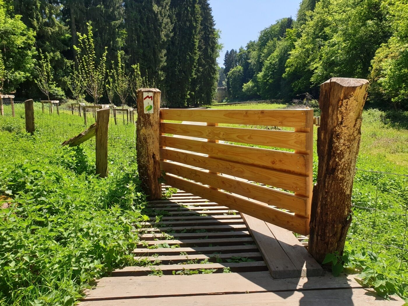
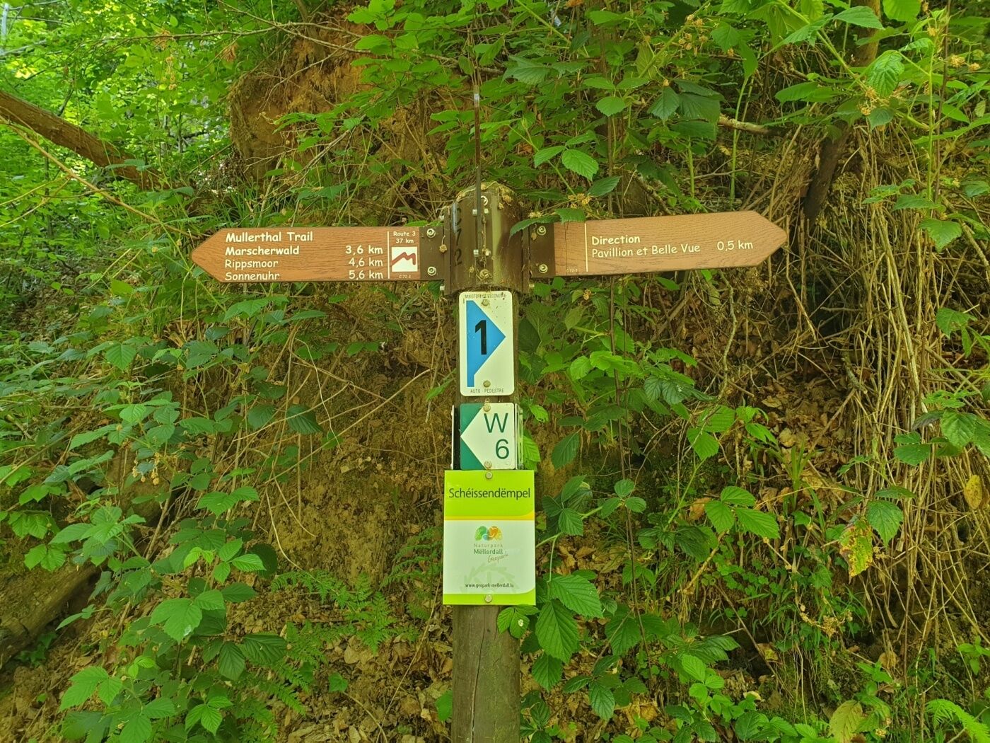
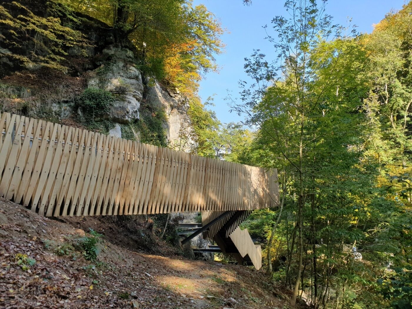
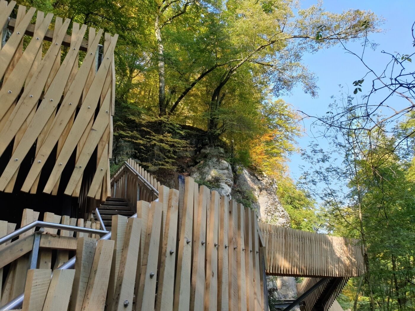
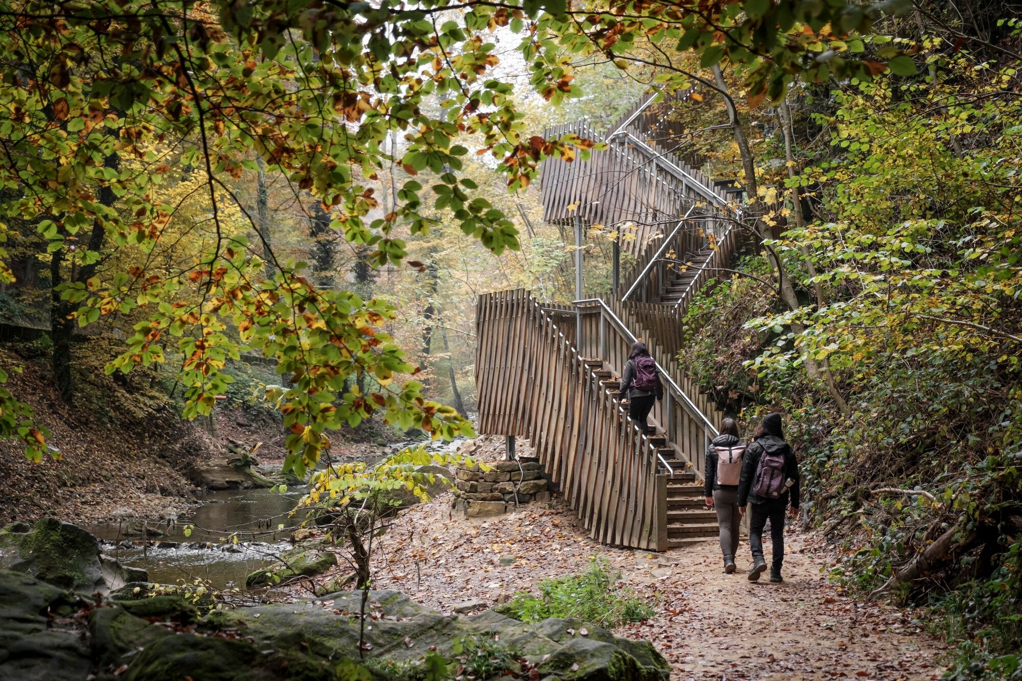
Attention! Due to construction work, the hiking trail between the Heringer Millen and the Schiessentümpel has temporarily taken a different route. Please follow the signposting on site or the route of the GPX, which can be downloaded here.
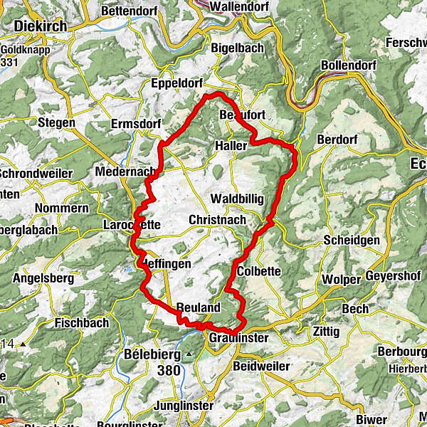
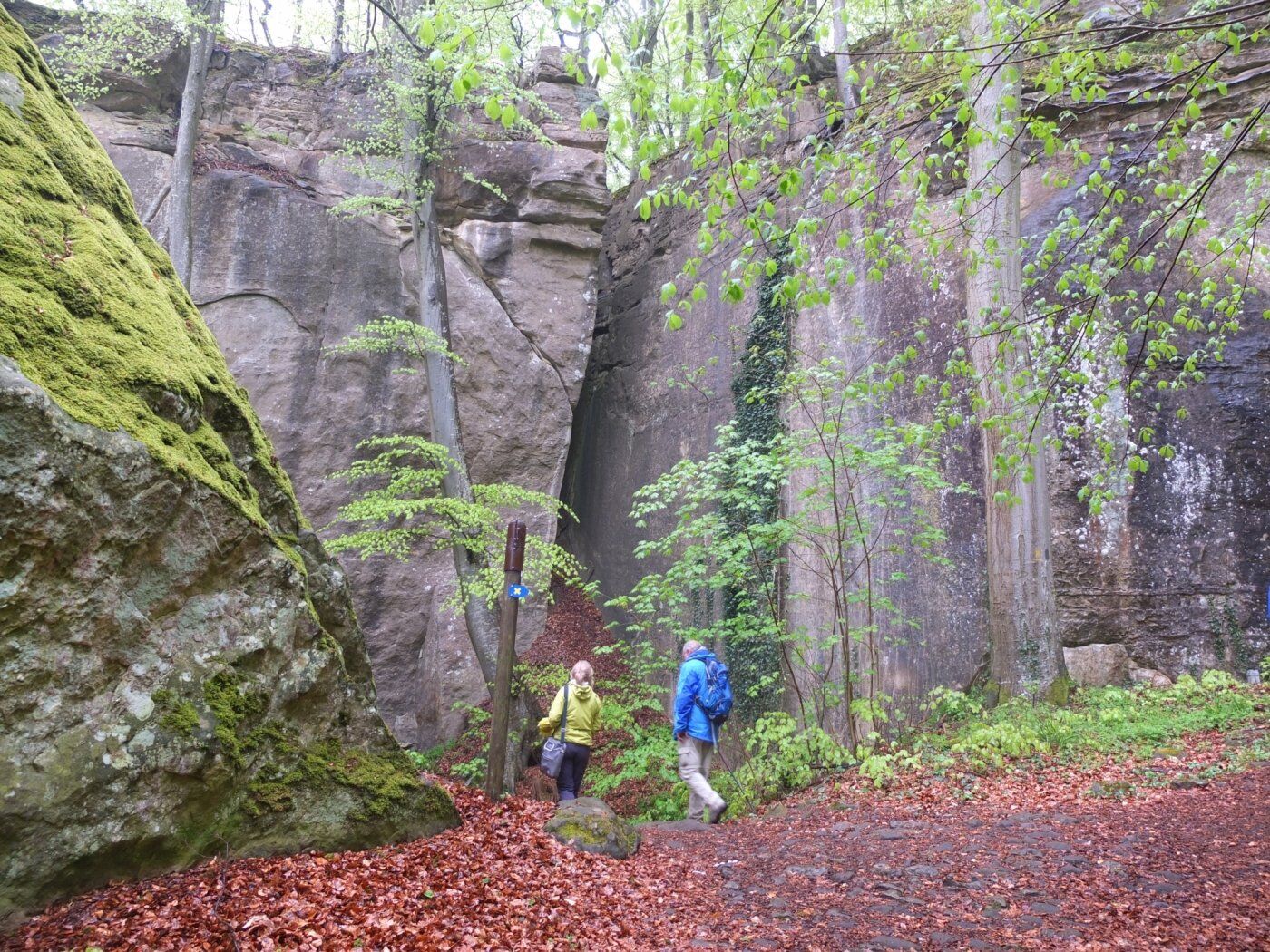
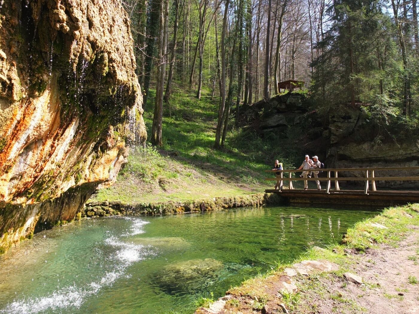
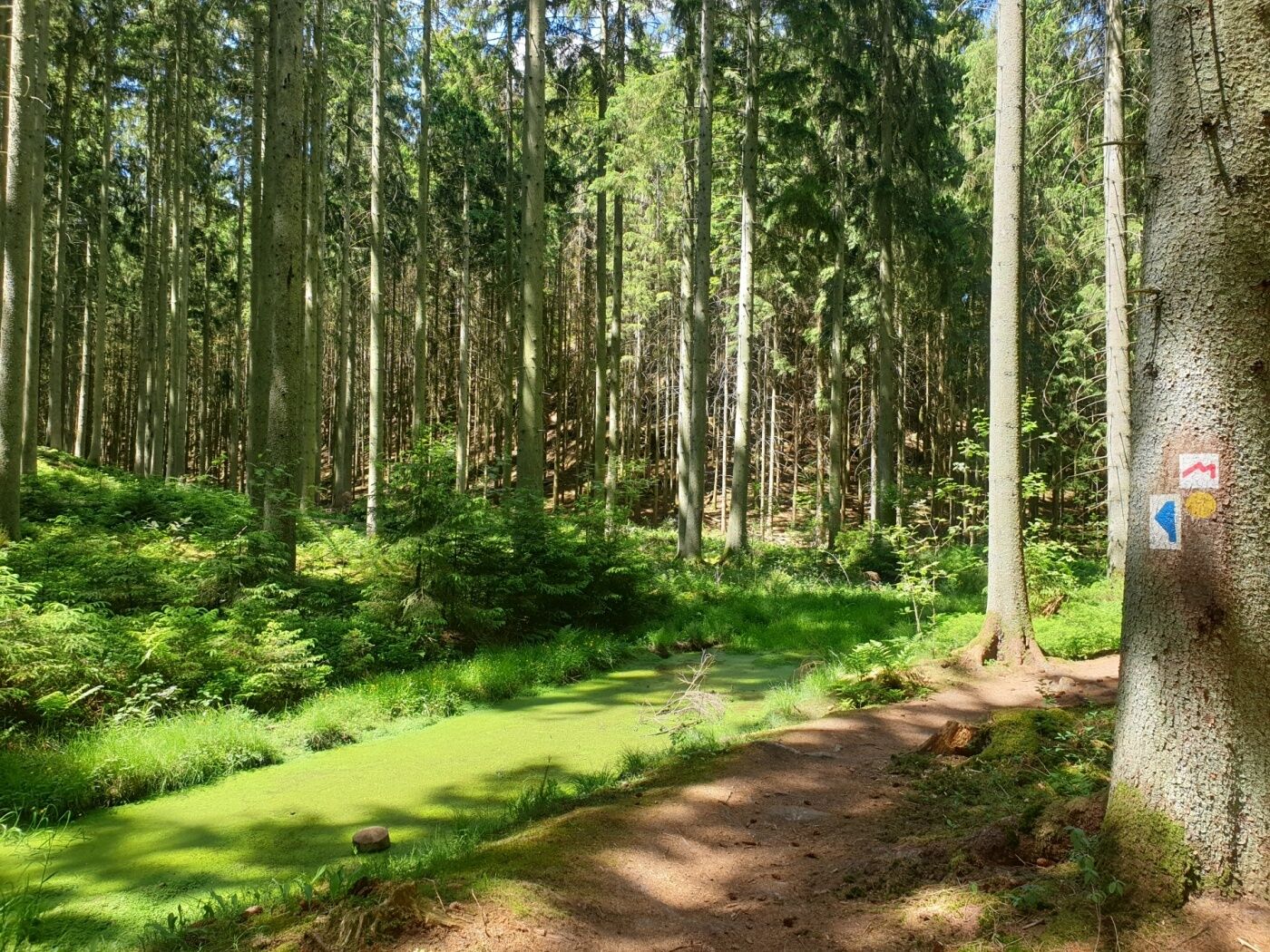
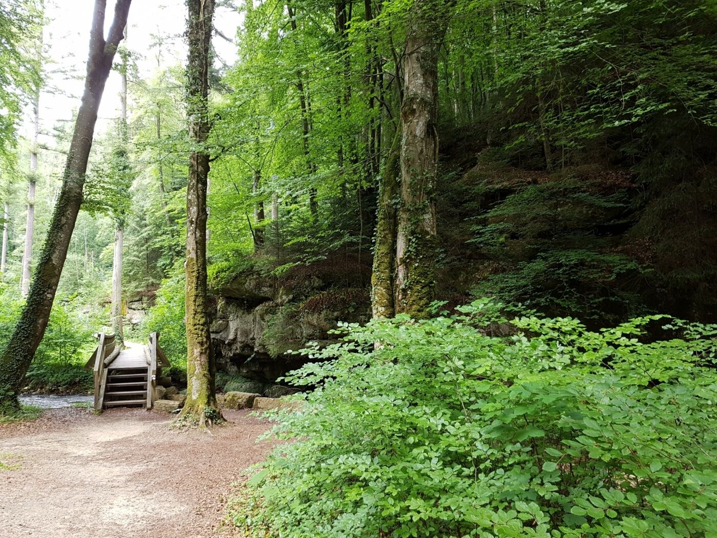
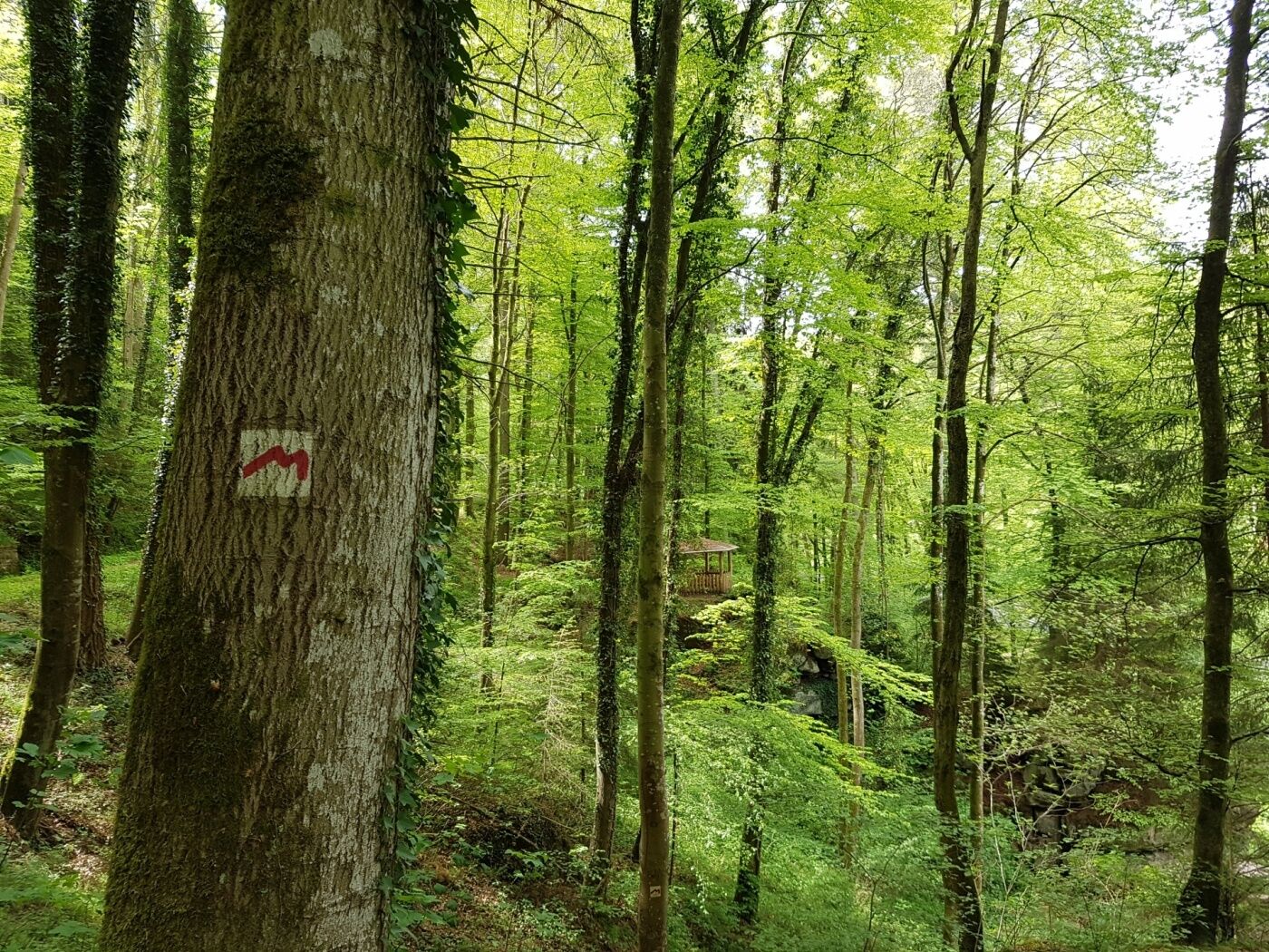
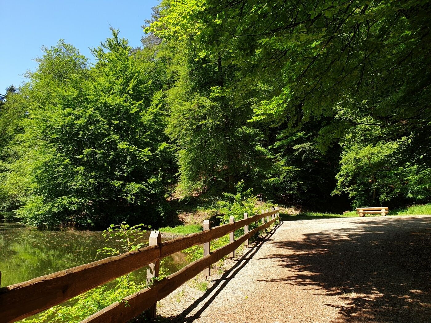
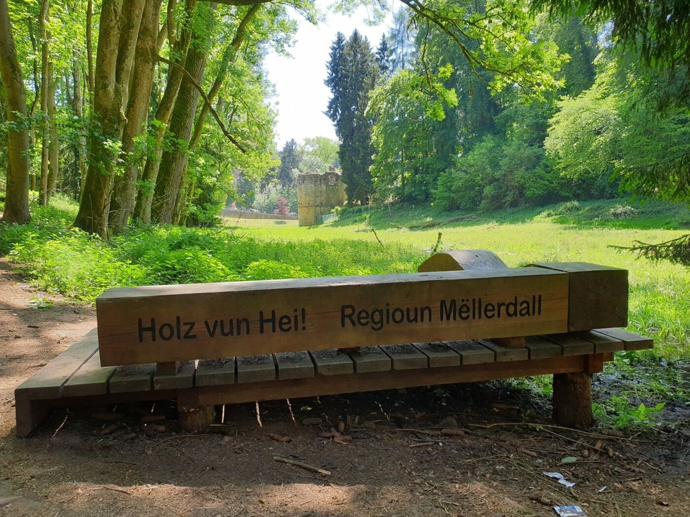
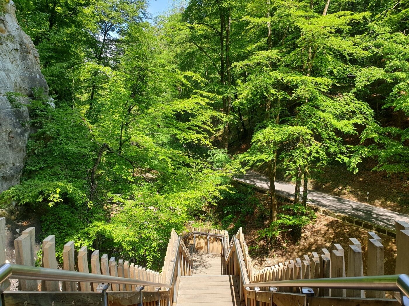
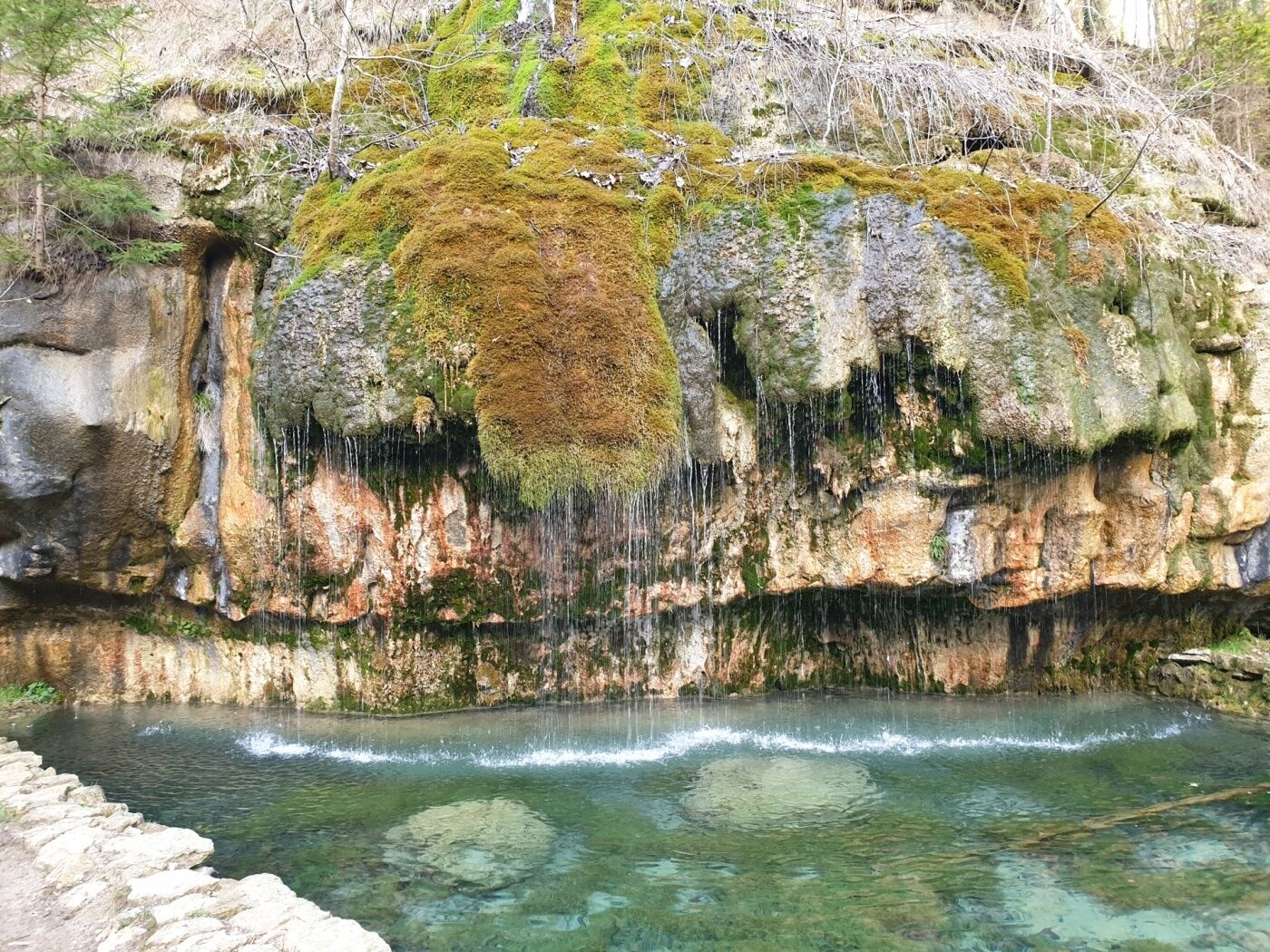
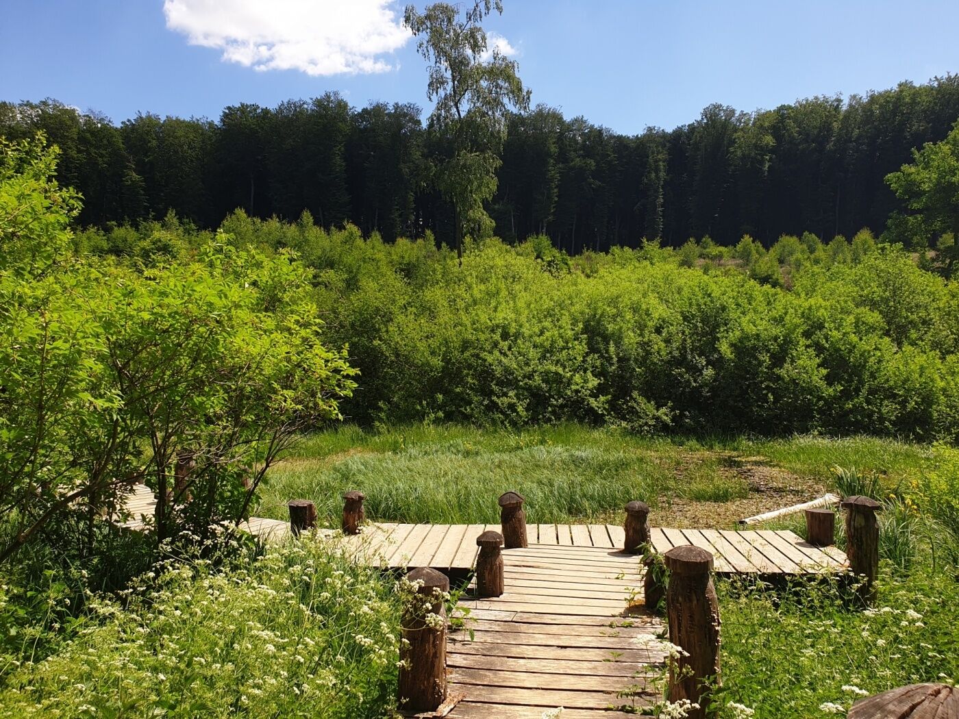
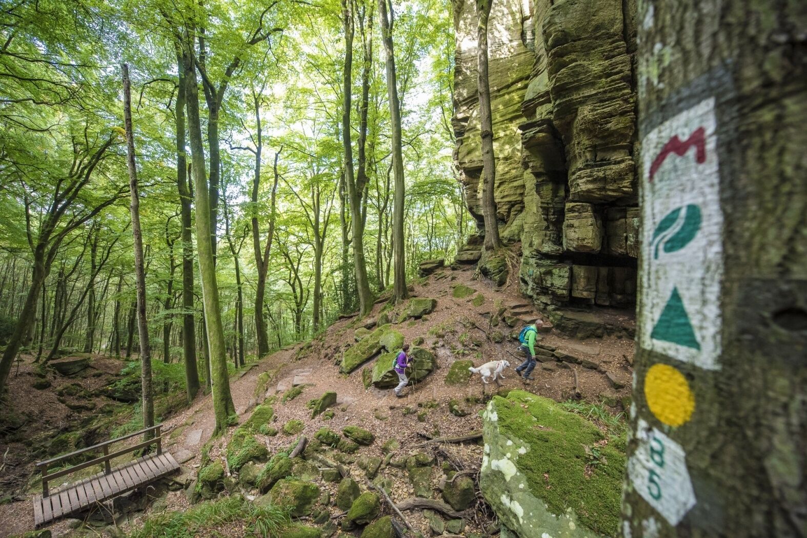
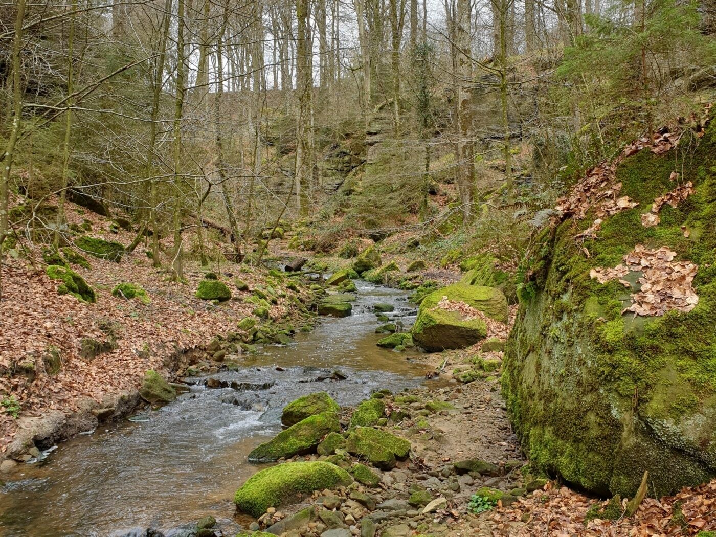
Magical stream valleys, spectacular rocky landscapes and romantic castles characterize Route 3 of the Mullerthal Trail.
- Težavnost
-
srednja
- Ocenjevanje
-
- Pot
-
MüllerthalBefort7,9 kmBerens10,0 kmFuertgeshaff13,8 kmReineschhaff14,4 kmFels19,1 kmHimmelsbierg19,3 kmSaint-Donat20,1 kmErnzen22,0 kmSoup22,9 kmBlumenthal28,0 kmGraulinster30,0 kmKallektuffquell34,3 kmCascades du Mullerthal36,5 kmMüllerthal37,7 km
- Najboljša sezona
-
janfebmaraprmajjunjulavgsepoktnovdec
- Najvišja točka
- 415 m
- Destinacija
-
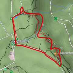
Mullerthal - Blumenthal - Larochette - Beaufort
- Profil nadmorske višine
-
 © outdooractive.com


- Avtor
-
Turneja Mullerthal Trail Route 3 uporablja outdooractive.com na spletni strani ..
GPS Downloads


Splošne informacije
Postanek za osvežitev
Obetavno
Več izletov v regijah
-
Müllerthal
548
-
Betzdorf
154