
Datumi turnej
8,65km
523
- 682m
203hm
192hm
02:33h
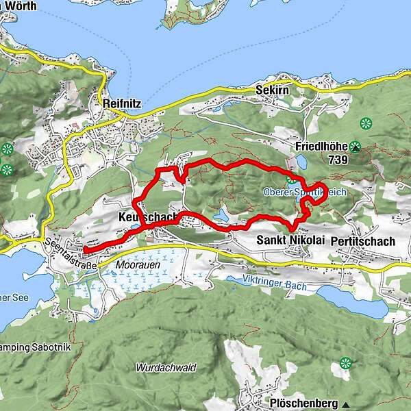
- Pot
-
Vanda0,1 kmSchlossstadel0,7 kmSchlossstadel Keutschach0,7 kmKeutschach0,8 kmRauth1,4 kmSankt Nikolai3,0 kmKeutschach7,6 kmSchlossstadel Keutschach7,7 kmSchlossstadel7,8 kmVanda8,2 km
- Najvišja točka
- 682 m
GPS Downloads


Več izletov v regijah


