


Bad St. Leonhard: Q3 Knappenbründl
Fotografije naših uporabnikov

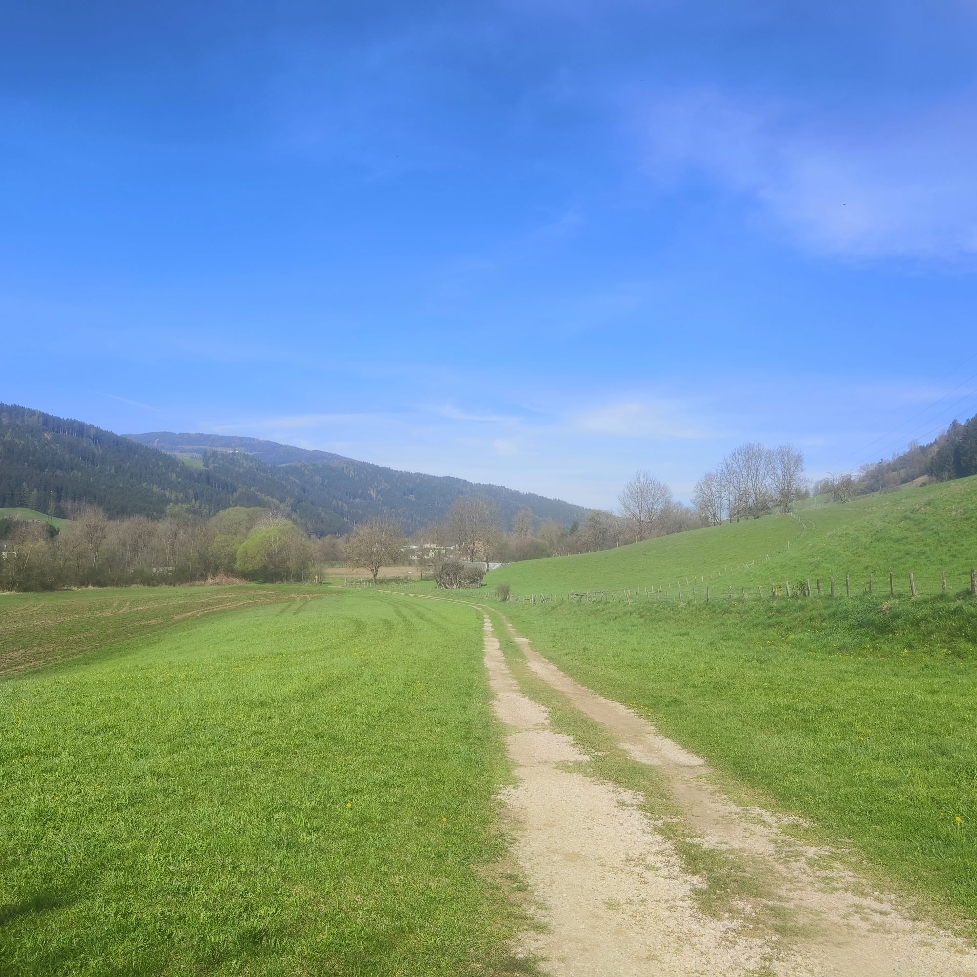
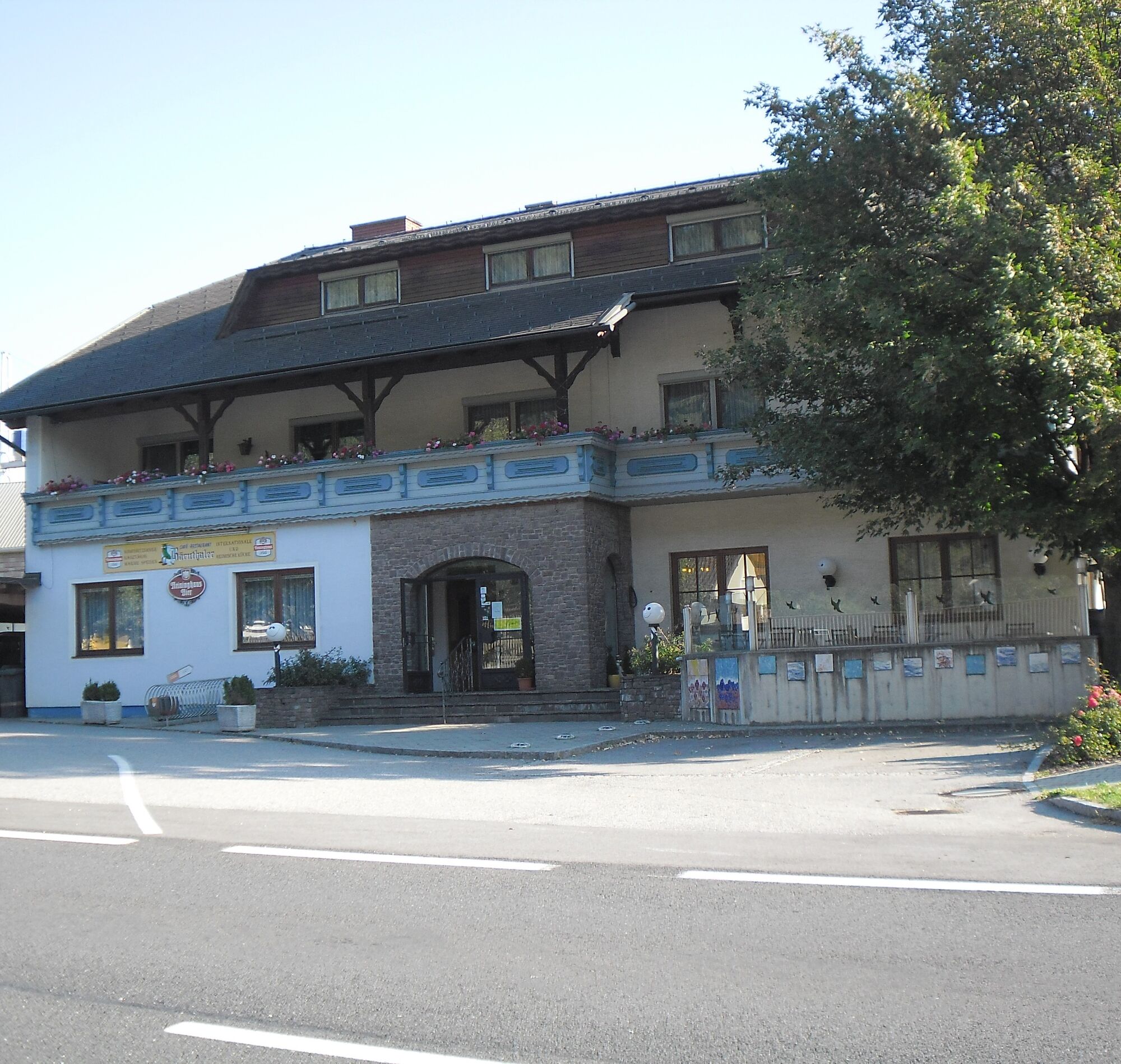
 © Sonja EnzenhoferUstvarjeno na 07.04.2024
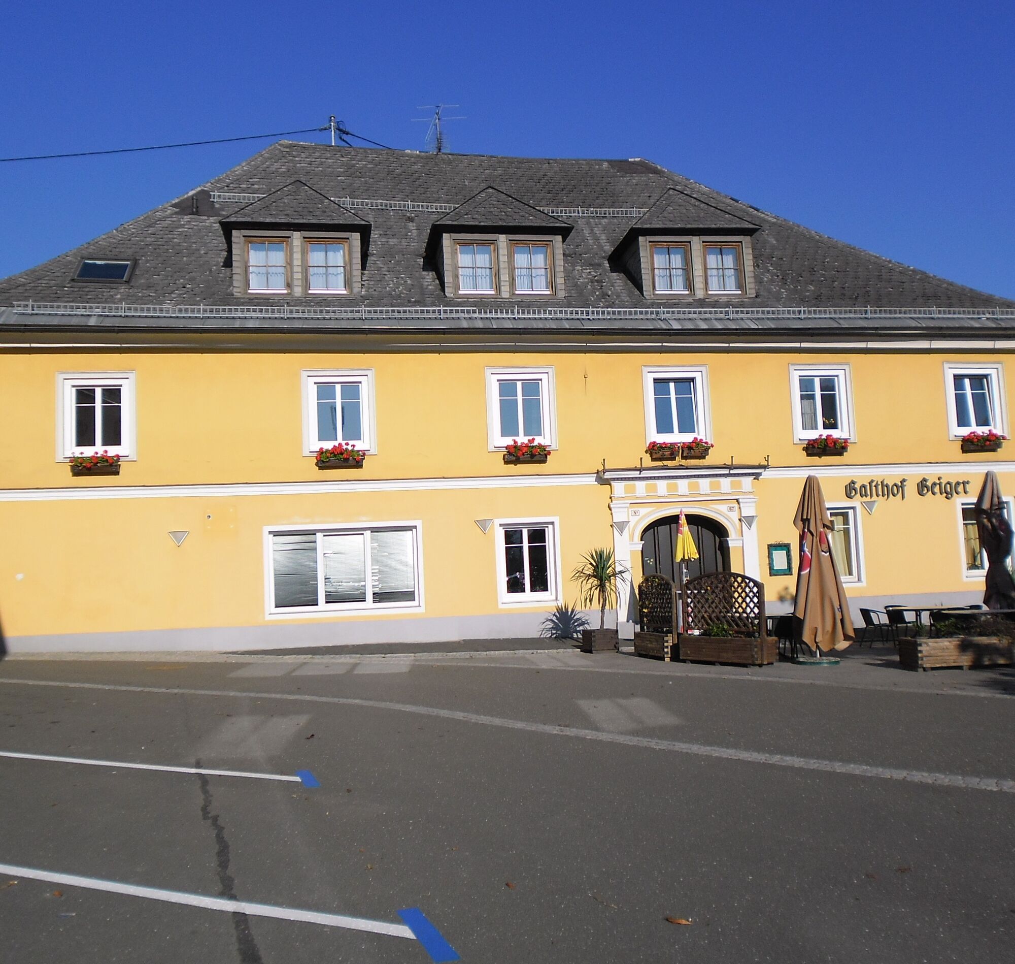
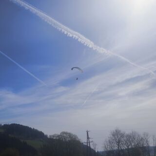 © Sonja EnzenhoferUstvarjeno na 07.04.2024
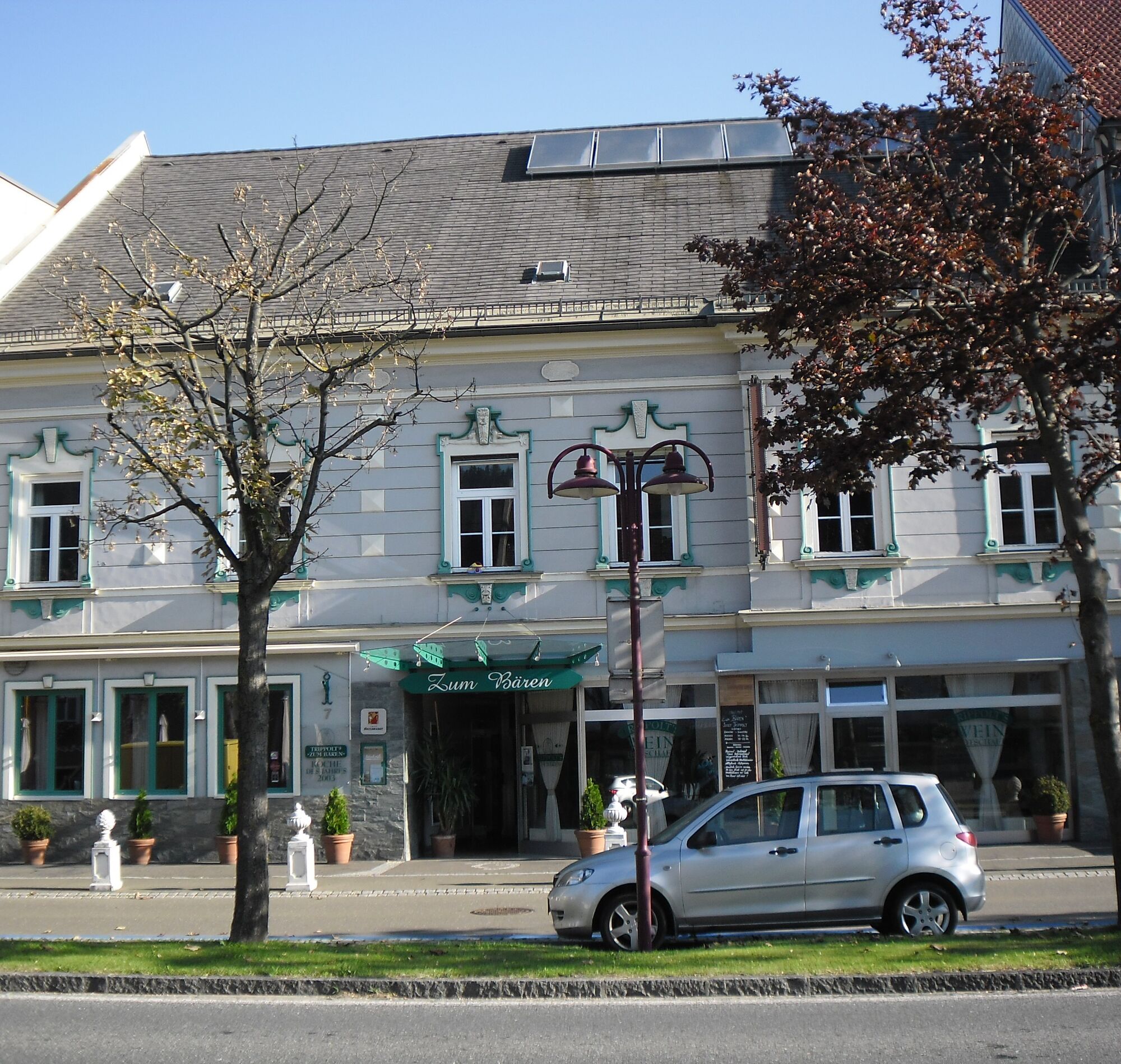
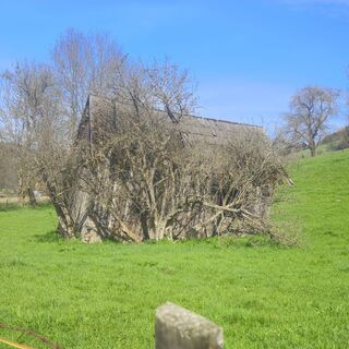 © Sonja EnzenhoferUstvarjeno na 07.04.2024
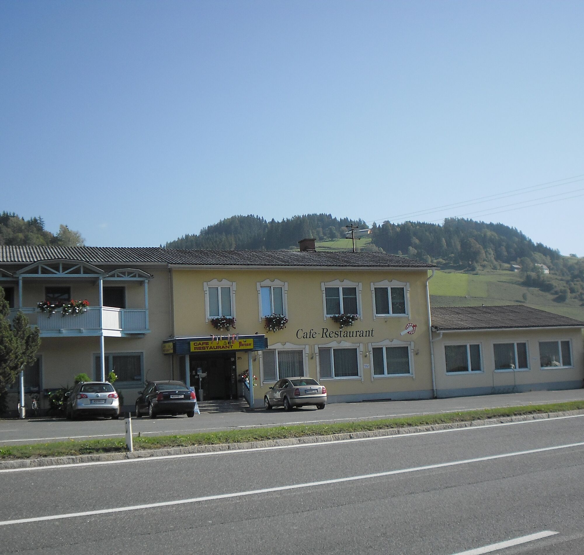
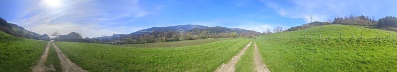 © Sonja EnzenhoferUstvarjeno na 07.04.2024
 © Sonja EnzenhoferUstvarjeno na 07.04.2024
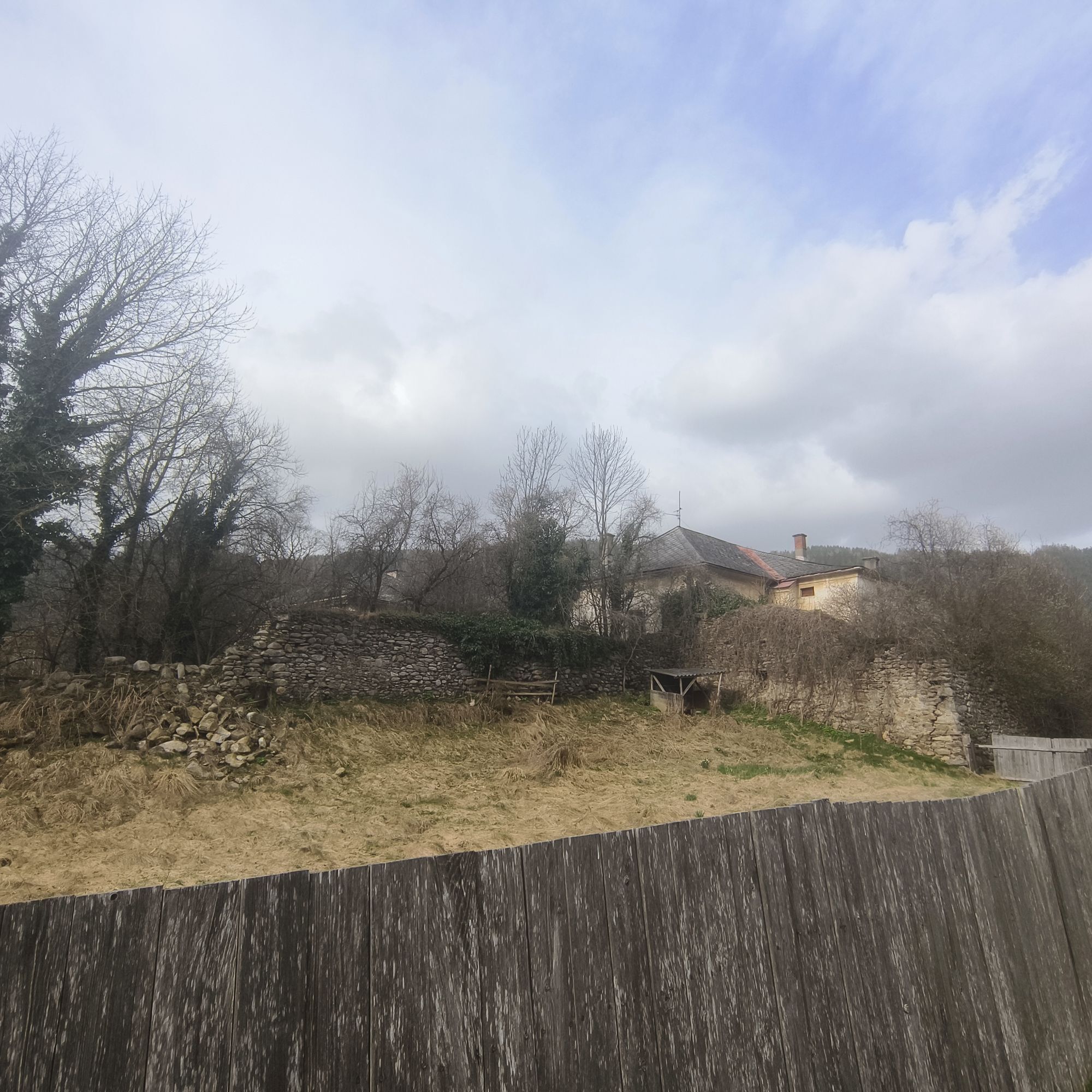
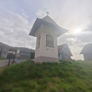 © Sonja EnzenhoferUstvarjeno na 31.03.2024
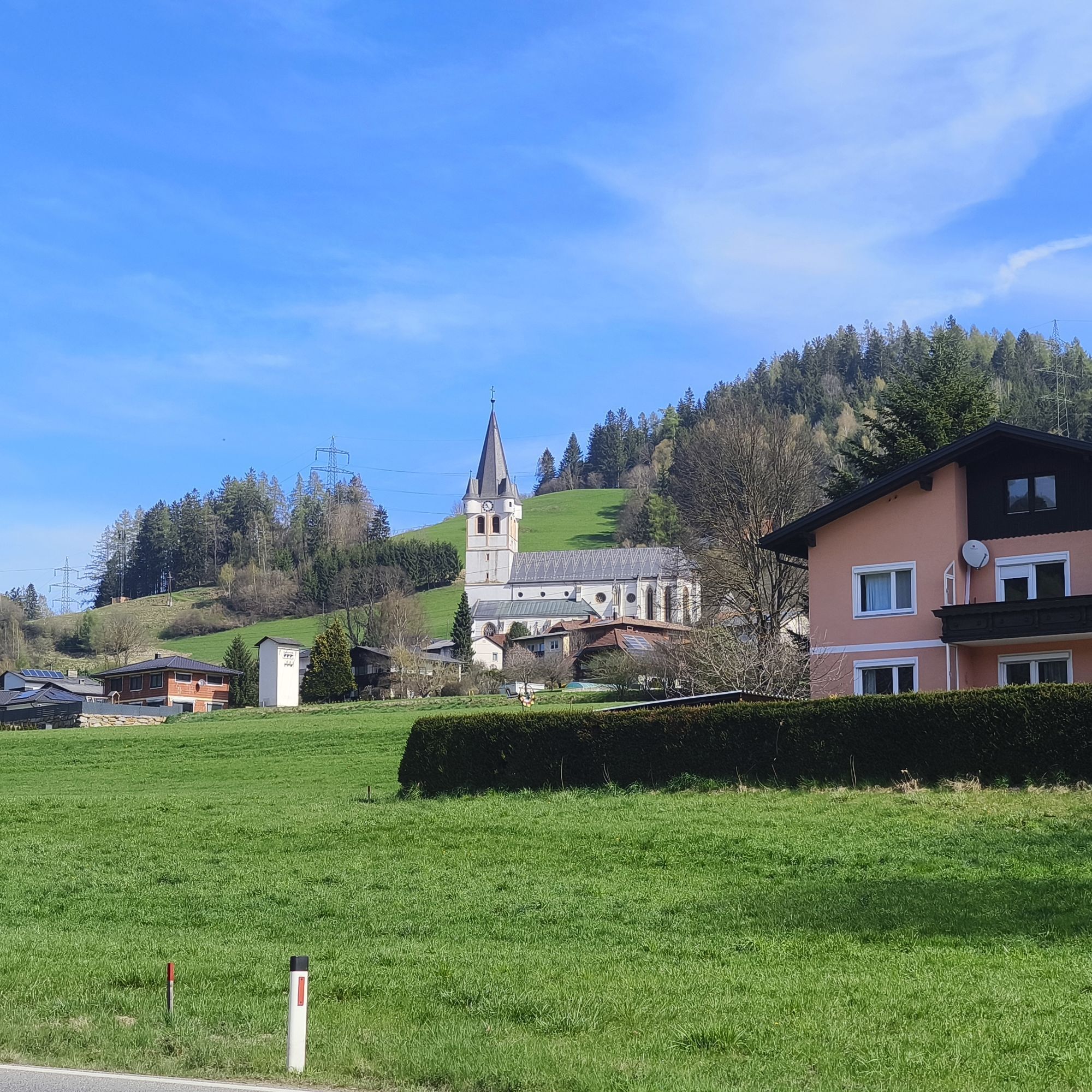
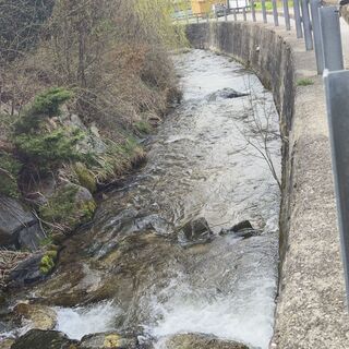 © Sonja EnzenhoferUstvarjeno na 31.03.2024
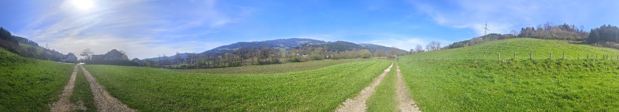
 © Sonja EnzenhoferUstvarjeno na 31.03.2024
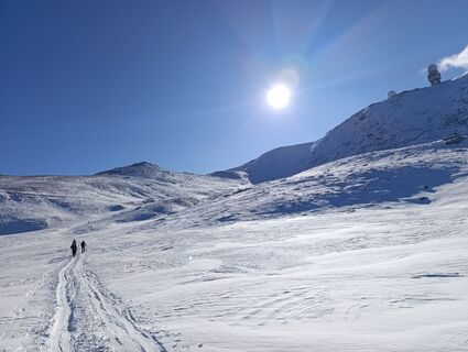
 © rotbaederUstvarjeno na 11.01.2026


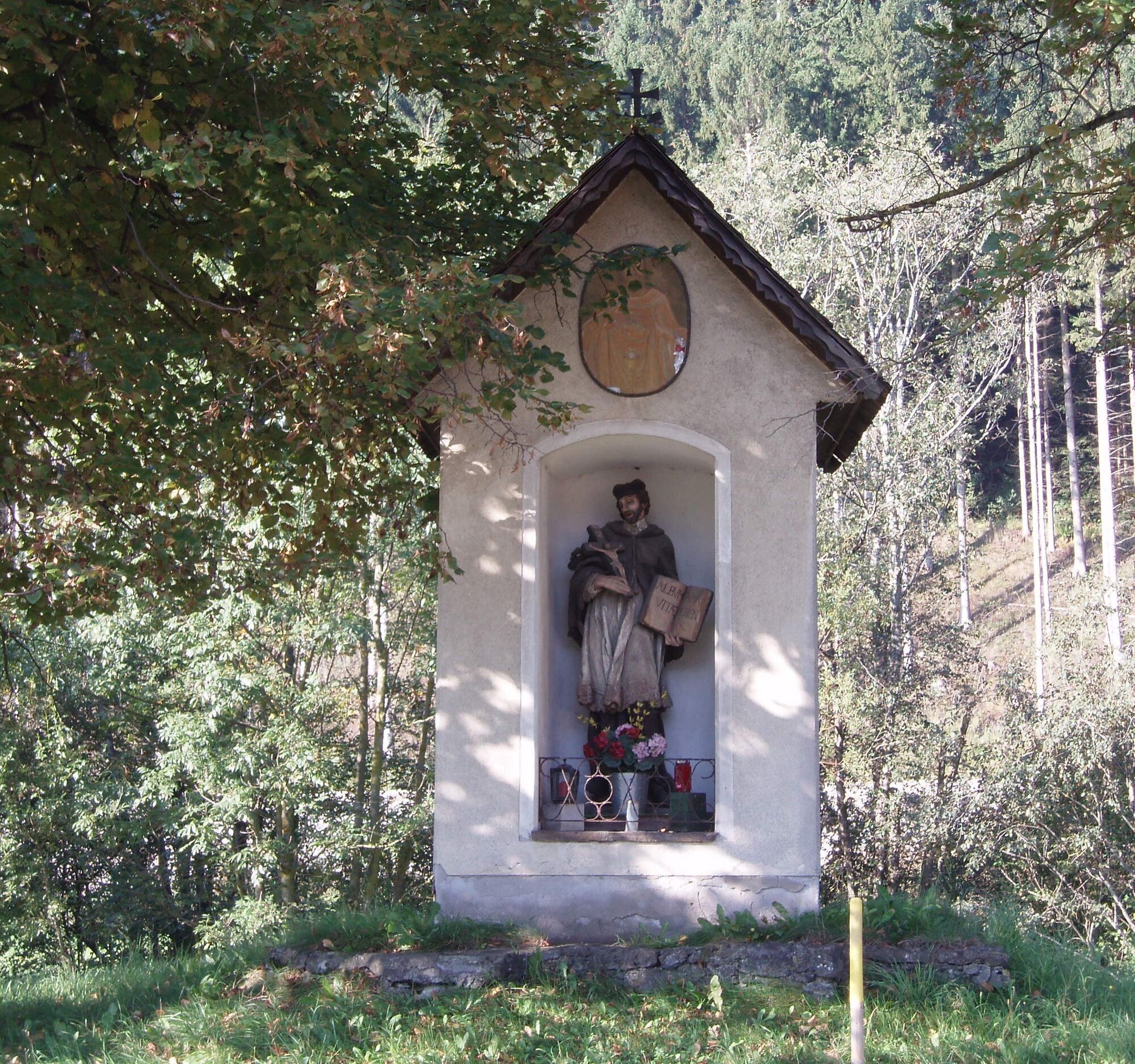
The Erzberg-Görlitzen area has a significant mining history. Especially in the Middle Ages and early modern times - the heyday of mining in the Upper Lavant Valley - numerous tunnels were in operation...
The Erzberg-Görlitzen area has a significant mining history. Especially in the Middle Ages and early modern times - the heyday of mining in the Upper Lavant Valley - numerous tunnels were in operation here. Old pit names such as "Römerstollen" and "Heidenloch" suggest that miners of the Middle Ages repeatedly came across traces of the "old man" (the remains of Roman mining activities) during their hard work. The earliest evidence for medieval ore mining in Carinthia also probably refers to the Erzberg-Görlitzen-Loben area. In the year 931, Bishop Adalbert of Salzburg exchanged a salt mine near Admont in Styria for the iron smelting site "Aruzi" at "monte Gamanara" (Erzberg).
Paracelsus House in Postgasse – Kindergarten – Leonhardikirche – Erzberger Liedl – Knappenbründl – Erzberger Liedl – Path to Schiefling – Schiefling – Path to Mauterndorf – Return path to Bad St. Leonhard
Da
Da
Sports or hiking shoes, rain gear.
Please keep dogs on a leash!!!
A2 South Motorway, exit Bad St Leonhard - at the junction with the Obdach state road, turn right (signpost Bad St. Leonhard, approx. 4 km)
Parking facilities in the town of Bad St. Leonhard.
There are some interesting legends about Erzberg or ore mining. These can be read in the book "Legendary Lavant Valley" by Dr. Dagmar Wabnig.


Priljubljeni izleti v okolici
- 4.4
Klippitztörl - Geierkogel loop trail no. G
srednjaPohodništvo 6.79 km - 4.7
Rappoldkogel vom Salzstieglhaus
srednjaPohodništvo 2.33 km - 4.7
Altes Almhaus -Rappoldkogel
srednjaPohodništvo 11.7 km - 4.6
Salzstieglhaus - Speikkogel - Peterer Riegel
srednjaPohodništvo 11.2 km - 4.5
Vom Salzstiegl auf den Ameringkogel
srednjaPohodništvo 14.2 km - 4.1
Vom Klippitztörl auf die Forstalm mit Geierkogel und Steinerner Hochzeit.
srednjaPohodništvo 10.5 km - 4.2
5-Almhüttenwanderung
svetlobaPohodništvo 14.3 km - 4.2
3-Almhüttenwanderung
svetlobaPohodništvo 8.31 km - 3.7
Rappoldkogel-Runde vom Alten Almhaus
srednjaPohodništvo 12.1 km - 4.4
Bad St. Leonhard: L5 hike Kliening - Sauerbrun
srednjaPohodništvo 9.49 km

Pohodništvo in sledenje


Ne zamudite ponudb in navdiha za naslednje počitnice
Vaš e-poštni naslov je bil dodan na poštni seznam.