Die Karnische Milchstraße - ET06 Untere Valentinalm - Hubertuskapelle bei Birnbaum

Pohodništvo v daljavo
© Profer & Partner - Nassfeld - Pressegger See

© www.nassfeld.at - Nassfeld - Pressegger See

© Nassfeld - Pressegger See - Daniel Gollner

- Kratek opis
-
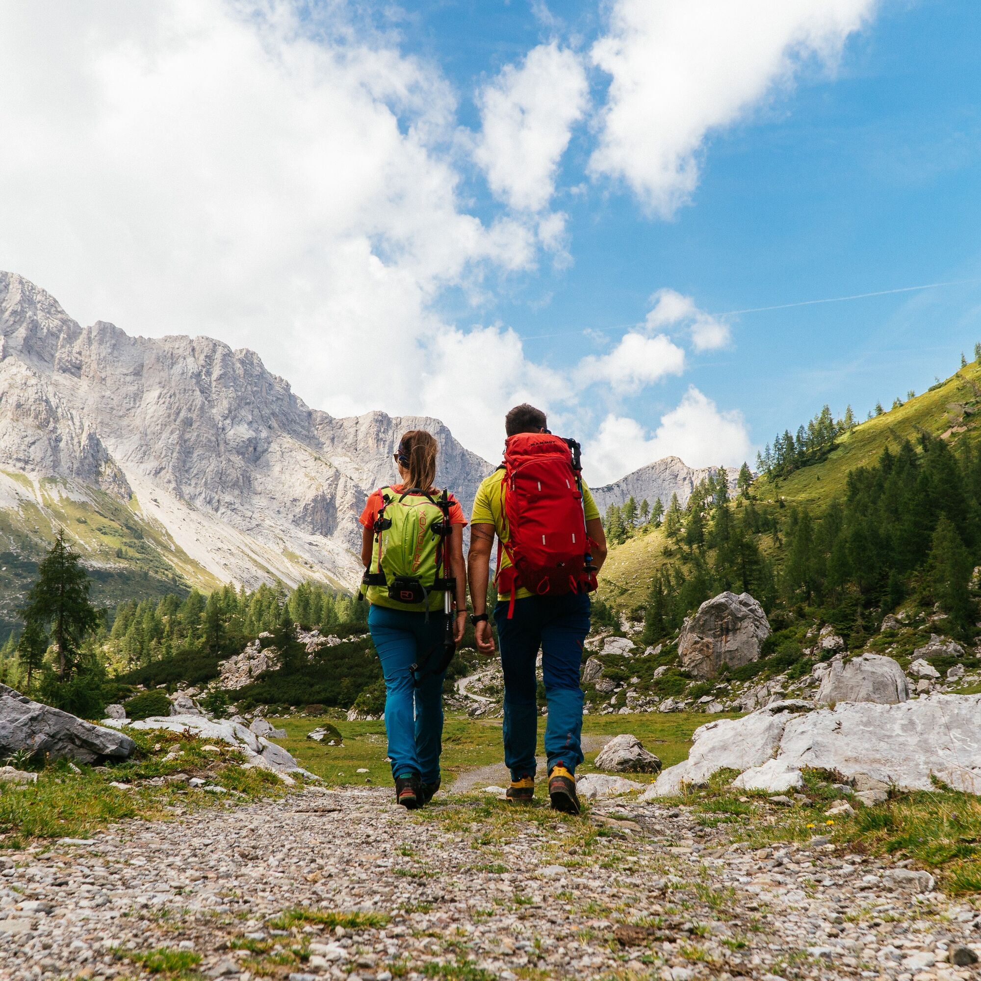
"The Carnic Milky Way" as the best of the Carnic Highway and the Constellation Hikes is "Hiking in New Dimensions".
- Težavnost
-
srednja
- Ocenjevanje
-
- Pot
-
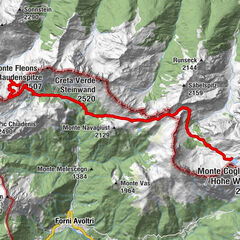
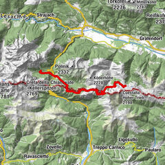
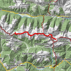
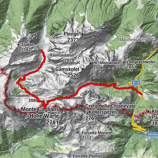
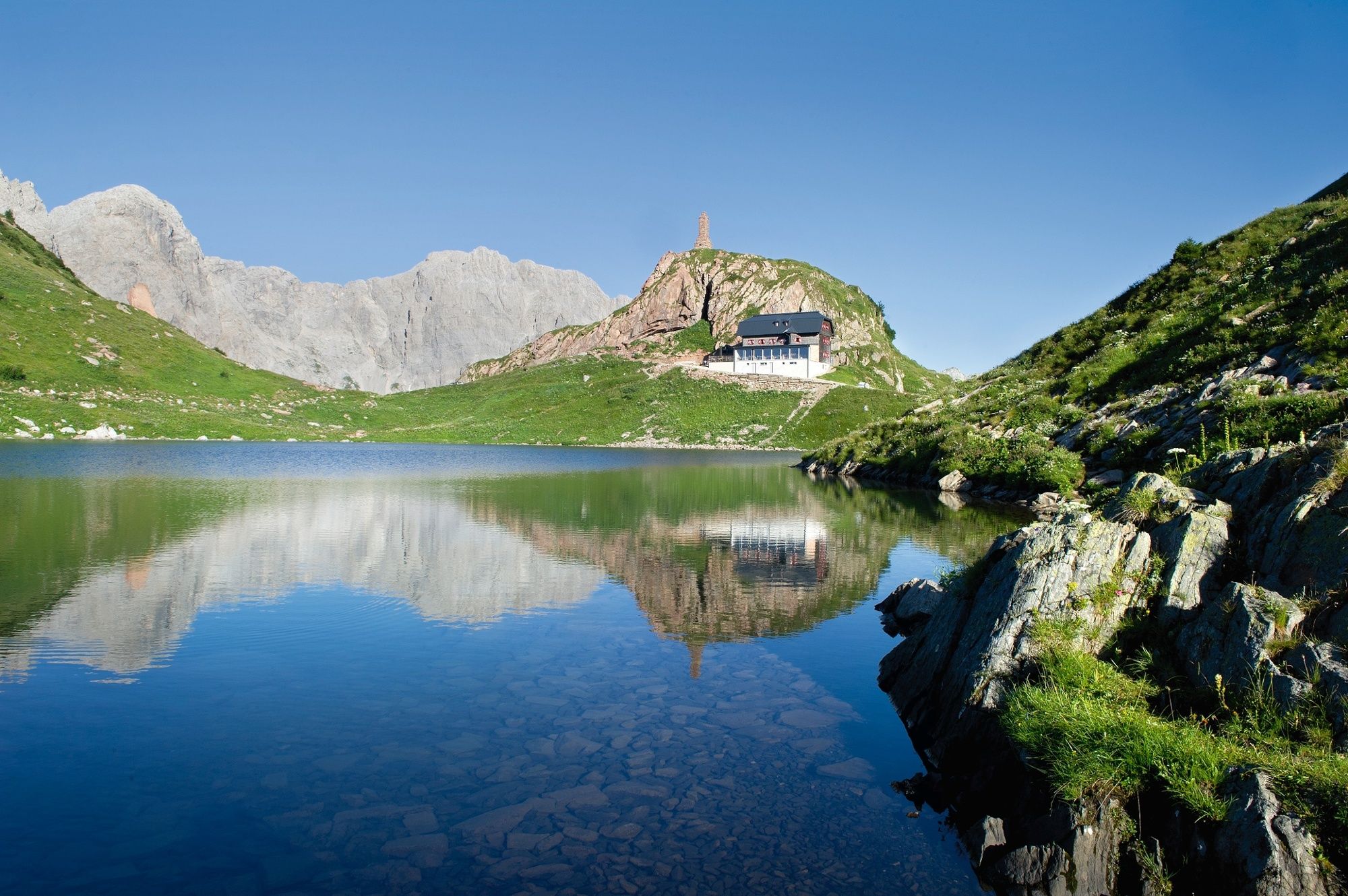
Gasthof Plöckenhaus0,0 kmTheresienhöhe0,9 kmAlmgasthof Valentinalm (1.220 m)2,5 kmWolayer Pass (1.973 m)8,7 kmRifugio Lambertenghi Romanin8,8 kmKriegerdenkmal8,9 kmWolayerseehütte9,4 kmBimbaumer Törl (2.080 m)9,5 kmHubertuskapelle16,2 km
- Najboljša sezona
-
janfebmaraprmajjunjulavgsepoktnovdec
- Najvišja točka
- 2.133 m
- Destinacija
-
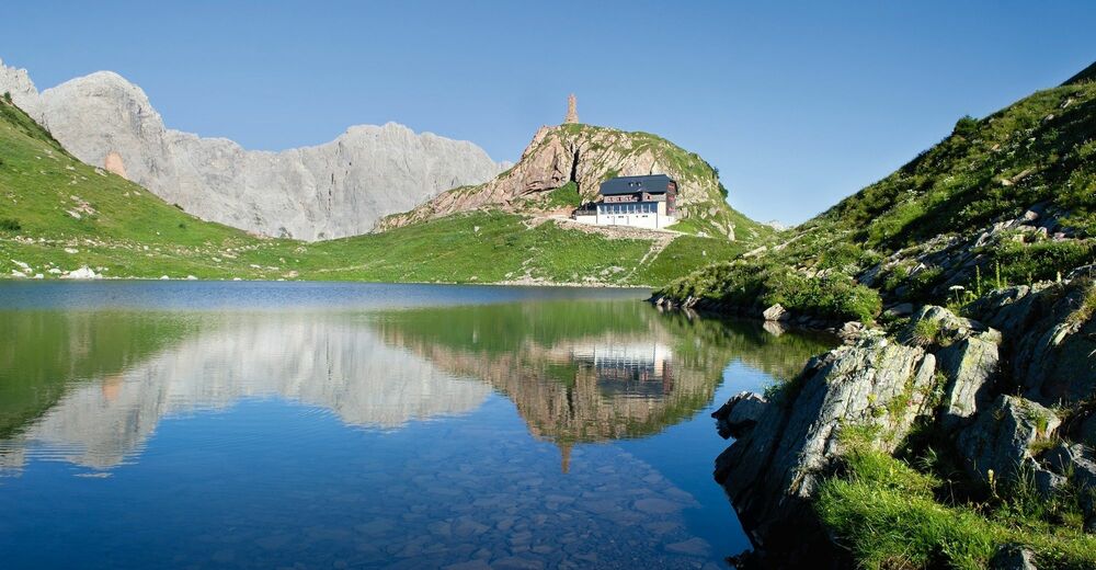
Hubertus Kapelle
- Profil nadmorske višine
-


- Avtor
-
Turneja Die Karnische Milchstraße - ET06 Untere Valentinalm - Hubertuskapelle bei Birnbaum uporablja outdooractive.com na spletni strani ..
GPS Downloads


Splošne informacije
Postanek za osvežitev
Kulturni/Zgodovinski
Flora
Favna
Obetavno
Več izletov v regijah