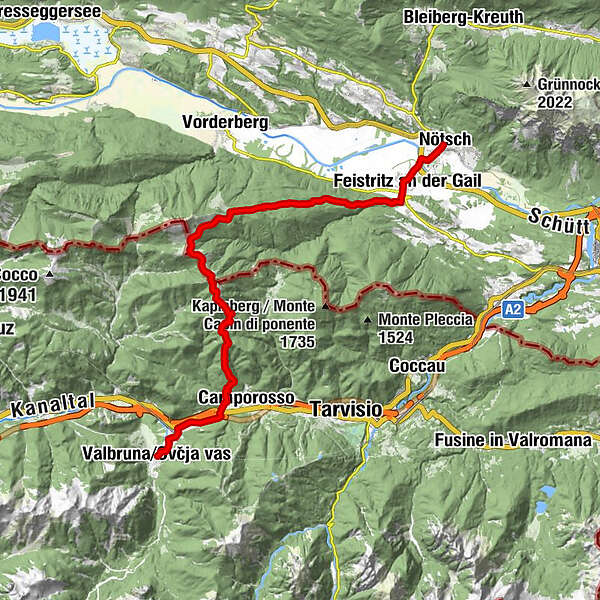
Circular ST3 AAT: Feistritz / Gail - Valbruna

Pohodništvo v daljavo

© Alpe-Adria-Trail - Alexandra Rieger

© Alpe-Adria-Trail - Alexandra Rieger

© Monika Gschwandner-Elkins - Monika Gschwandner

© Alpe-Adria-Trail - Alexandra Rieger

© Alpenverein Hermagor - Juergen Hilgenberg

© Alpenverein Hermagor - Juergen Hilgenberg

© Alpe-Adria-Trail - Alexandra Rieger

- Kratek opis
-
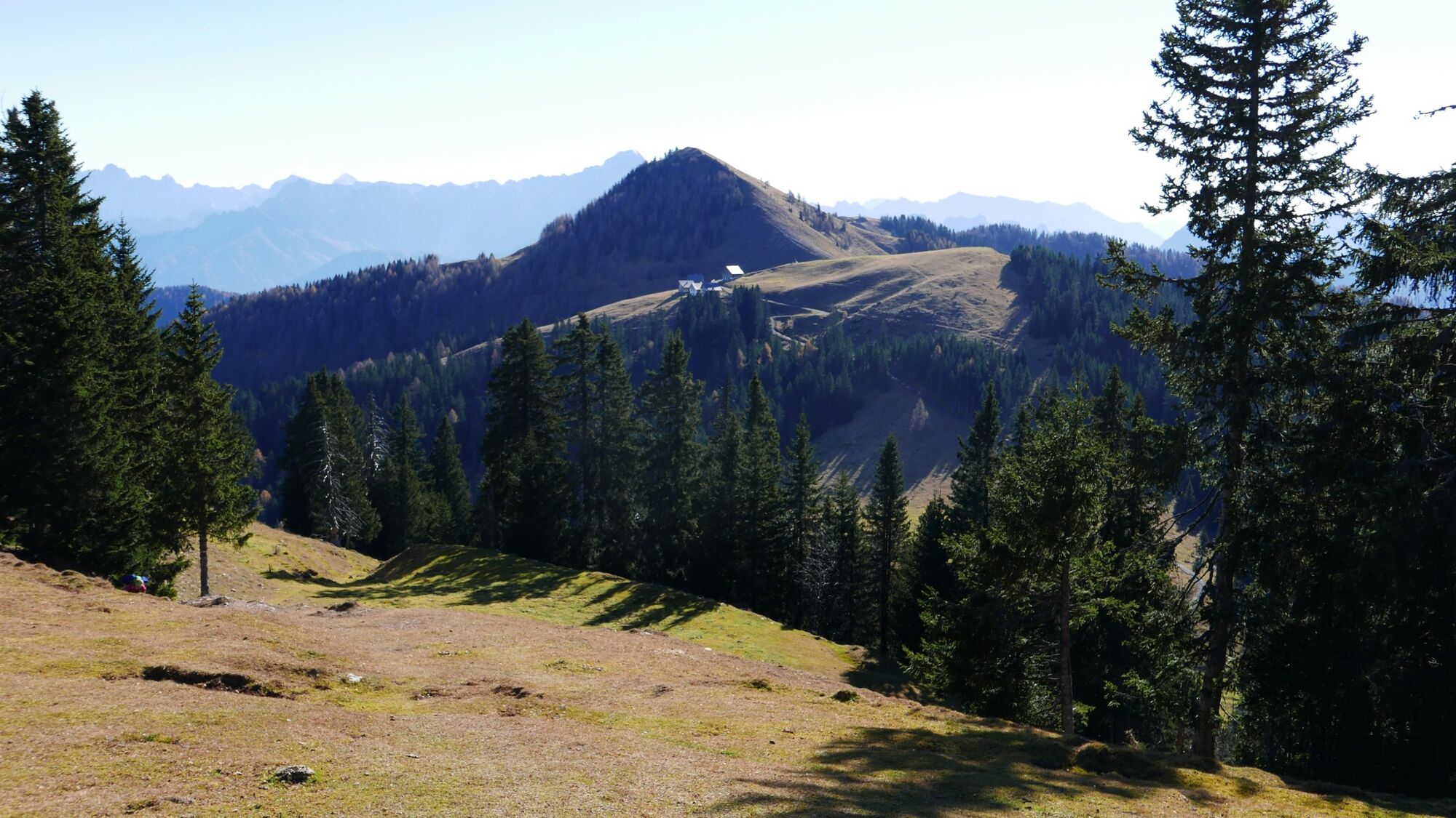
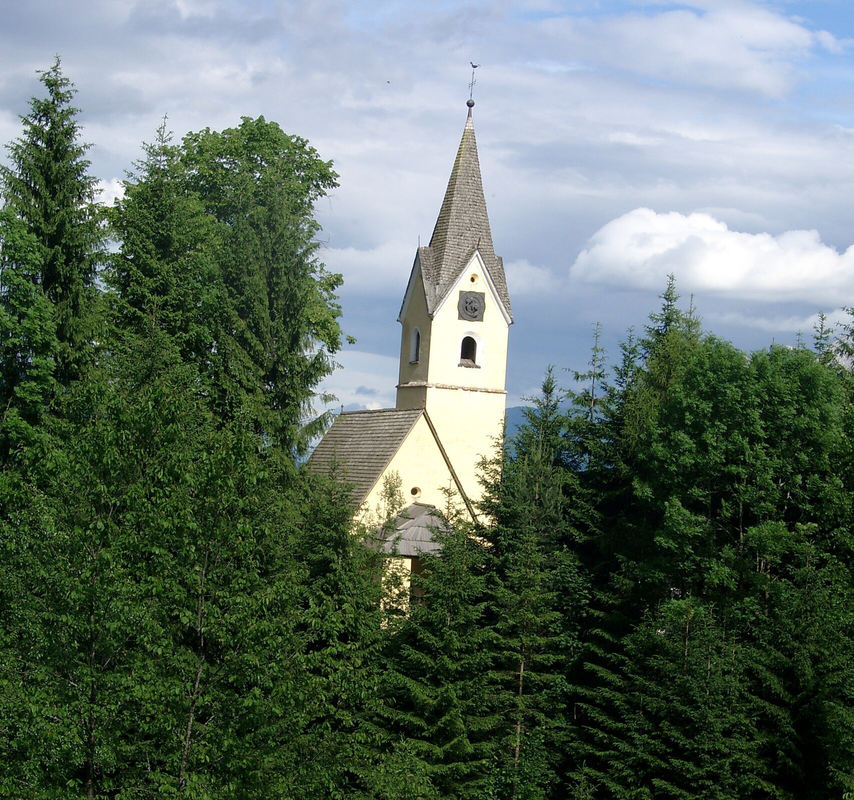
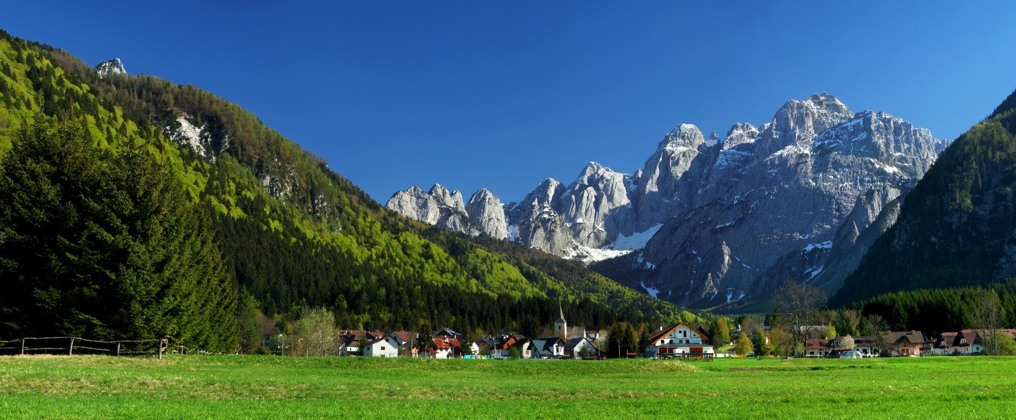
This circular tour is characterised by an impressive mountain backdrop: The hike, which crosses the national border, takes you into the eastern Carnic Alps on the Carinthian side, and onto the Feistritzer Alm at the foot of the distinctive Osternig. In Italy the trail leads from the Achomitzer Alm down into the valley to the village of Camporosso, and on to Valbruna.
- Težavnost
-
težko
- Ocenjevanje
-
- Pot
-
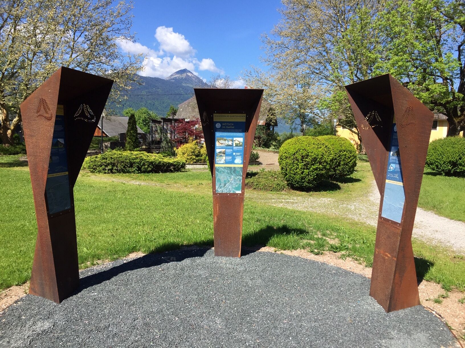
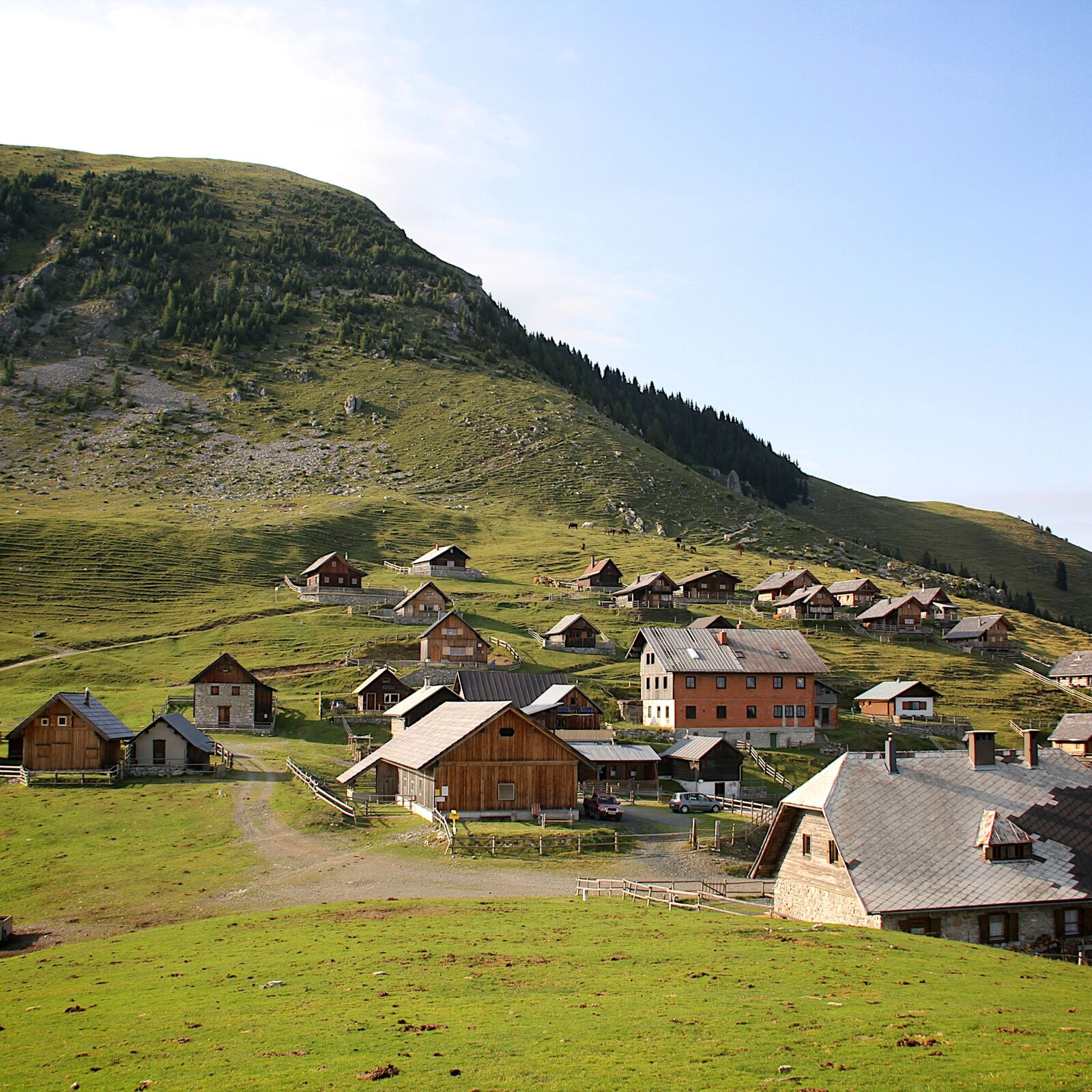
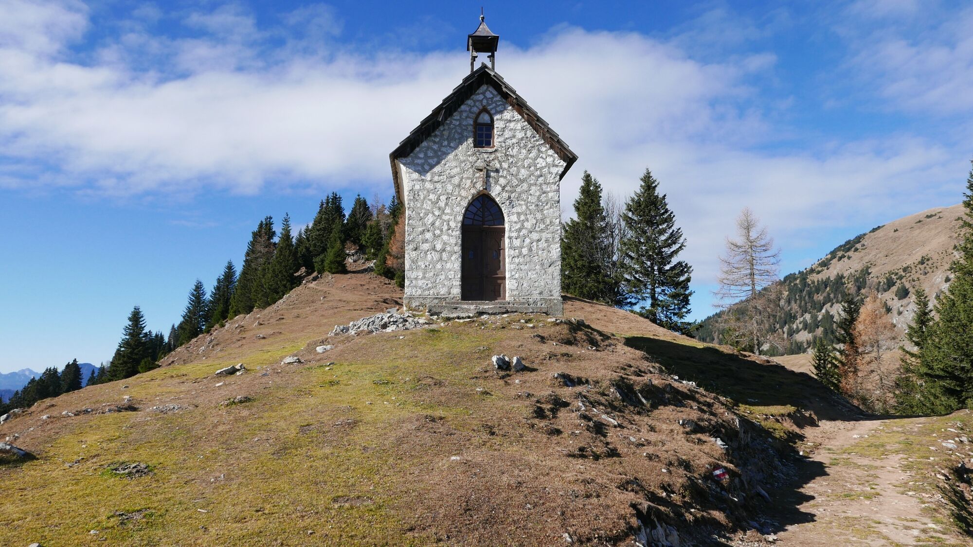
NötschZum NontPizzeria-Trattoria Friaul0,1 kmFeistritz an der Gail2,2 kmKapelle der heiligen Familie2,5 kmGasthof - Trattoria - Gostilna Alte Post2,6 kmFeistritzer Alm11,3 kmFeistritzer Alm11,4 kmAlmkapelle Maria Schnee12,0 kmMulei-Berg (1.743 m)14,7 kmRistorante Spartiacque19,8 kmPapillo20,9 kmWolfsbach23,4 km
- Najboljša sezona
-
janfebmaraprmajjunjulavgsepoktnovdec
- Najvišja točka
- 1.746 m
- Destinacija
-
Valbruna
- Profil nadmorske višine
-


- Avtor
-
Turneja Circular ST3 AAT: Feistritz / Gail - Valbruna uporablja outdooractive.com na spletni strani ..
GPS Downloads


Več izletov v regijah