Via Dinarica HR-W-07 Along Kapela Hiking Trail towards the Adriatic sea

Pohodništvo

© Terra Dinarica - Alan Čaplar

© Terra Dinarica - Alan Čaplar

© Terra Dinarica - Alan Čaplar

© Terra Dinarica - Alan Čaplar

© Terra Dinarica - Alan Čaplar

© Terra Dinarica - Alan Čaplar

© Terra Dinarica - Damir Kuzmanić

© Terra Dinarica - HPD Vihor

© Terra Dinarica - HPD Vihor

- Kratek opis
-
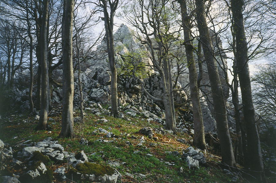
In the area where Velika Kapela approaches the sea, we come across one of the largest forest expanses in Croatia. There are no settlements in the area from Bjelolasica and the sites of Bijele stijene and Samarske stijene to the edge of the regions of Gorski kotar and Primorje, and the entire area is marked by little known, rarely visited and very wide mixed forests. It is almost incredible that this particular part of Velika Kapela has remained preserved and unknown until the present day, given the closeness of the sea and relatively low elevations in the area.
- Težavnost
-
srednja
- Ocenjevanje
-
- Pot
-
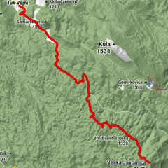
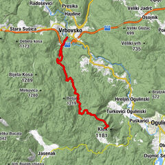
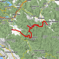
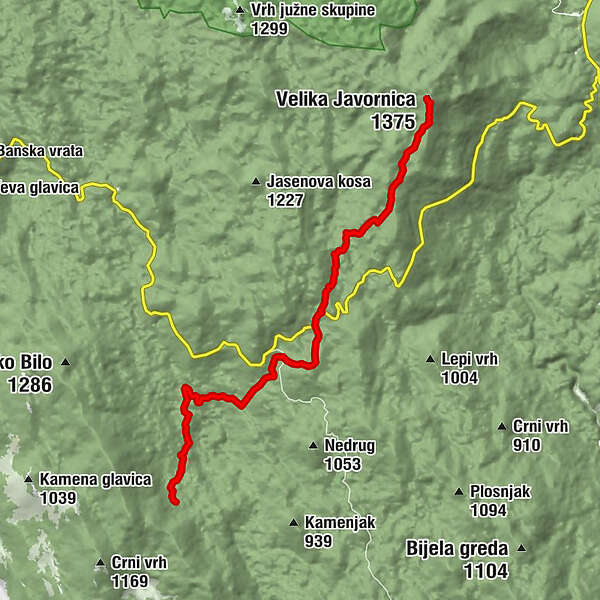
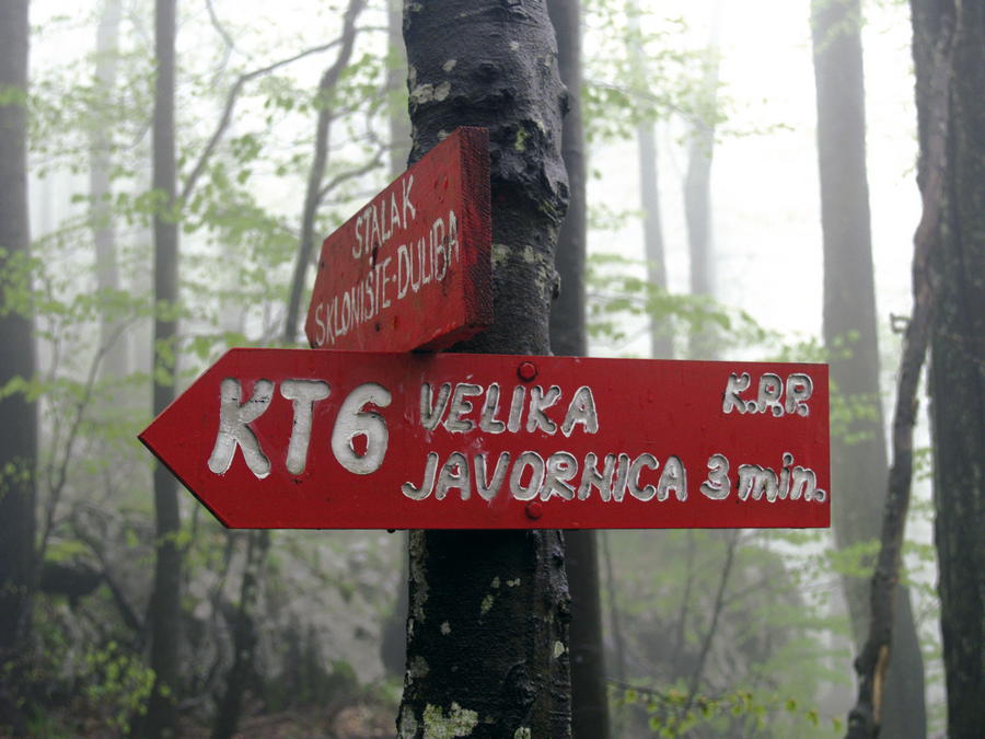
Velika Javornica (1.375 m)0,0 kmDuliba11,6 km
- Najboljša sezona
-
janfebmaraprmajjunjulavgsepoktnovdec
- Najvišja točka
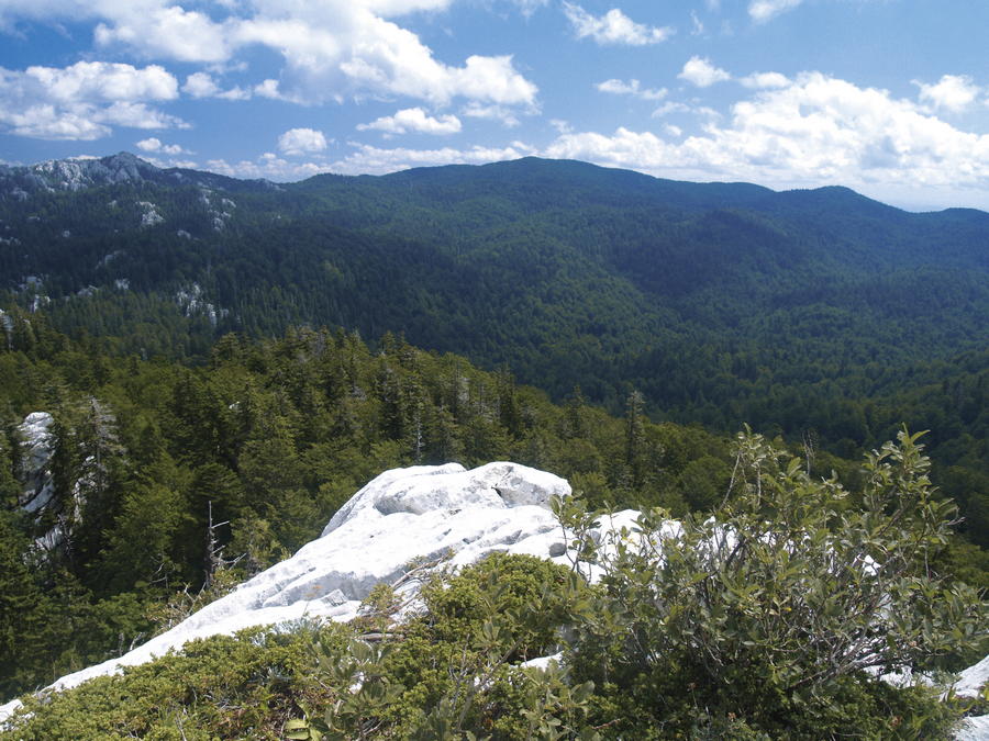
- 1.352 m
- Destinacija
-
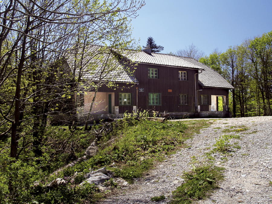
Mountain hut Zelena kuća
- Profil nadmorske višine
-
 © outdooractive.com


-

-
AvtorTurneja Via Dinarica HR-W-07 Along Kapela Hiking Trail towards the Adriatic sea uporablja outdooractive.com na spletni strani ..
GPS Downloads


Več izletov v regijah
-
Crikvenica
35