

- Kratek opis
-
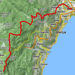
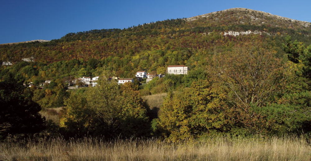
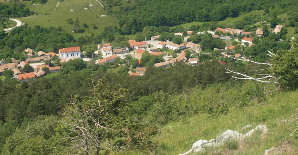
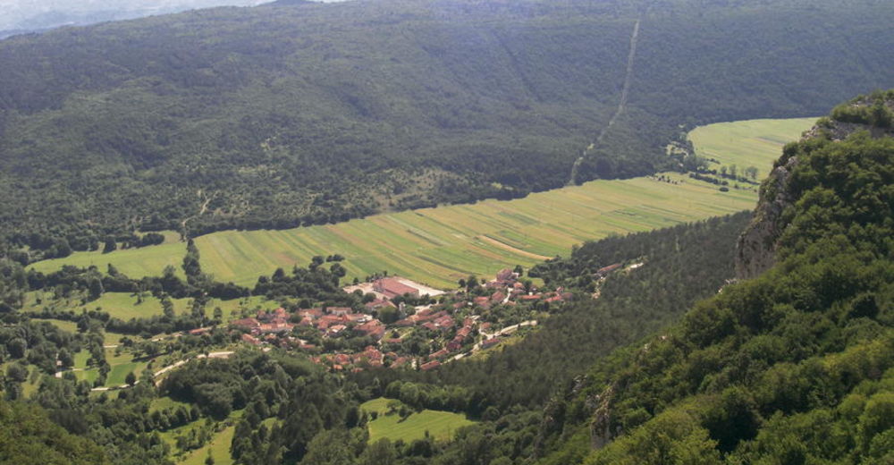
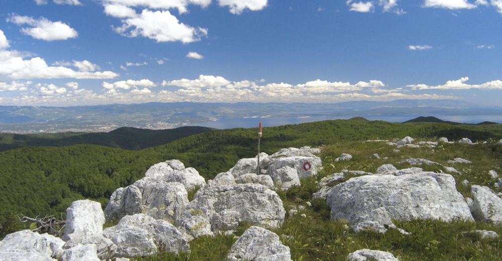
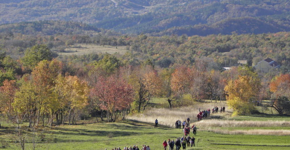
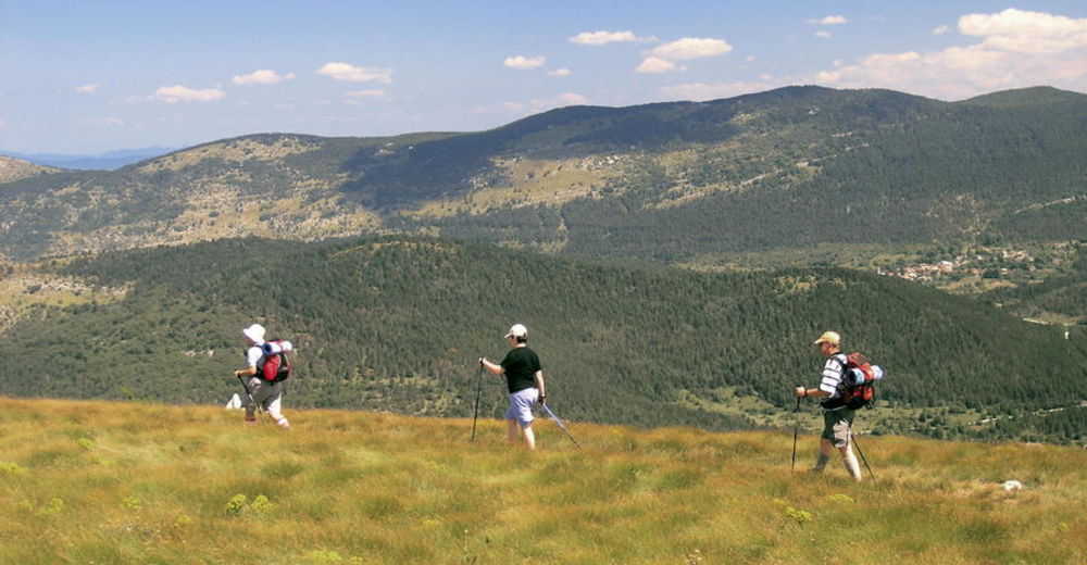
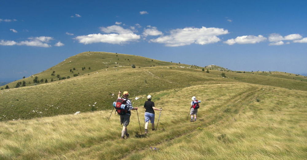
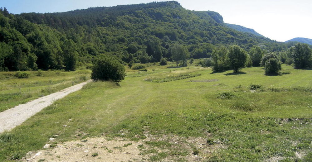
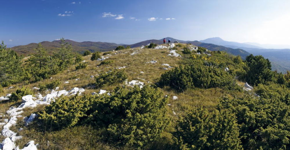
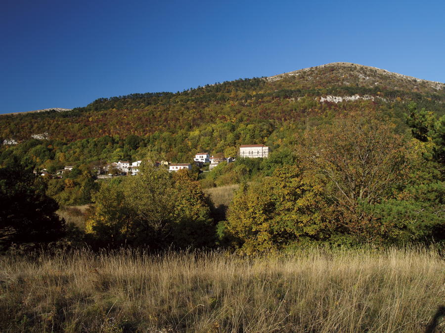
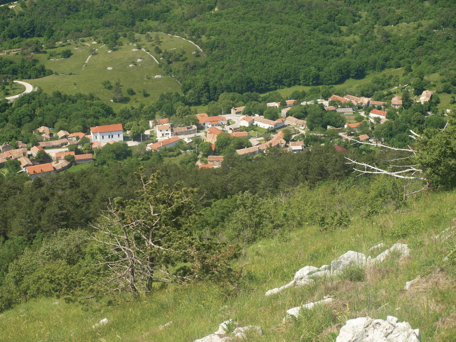
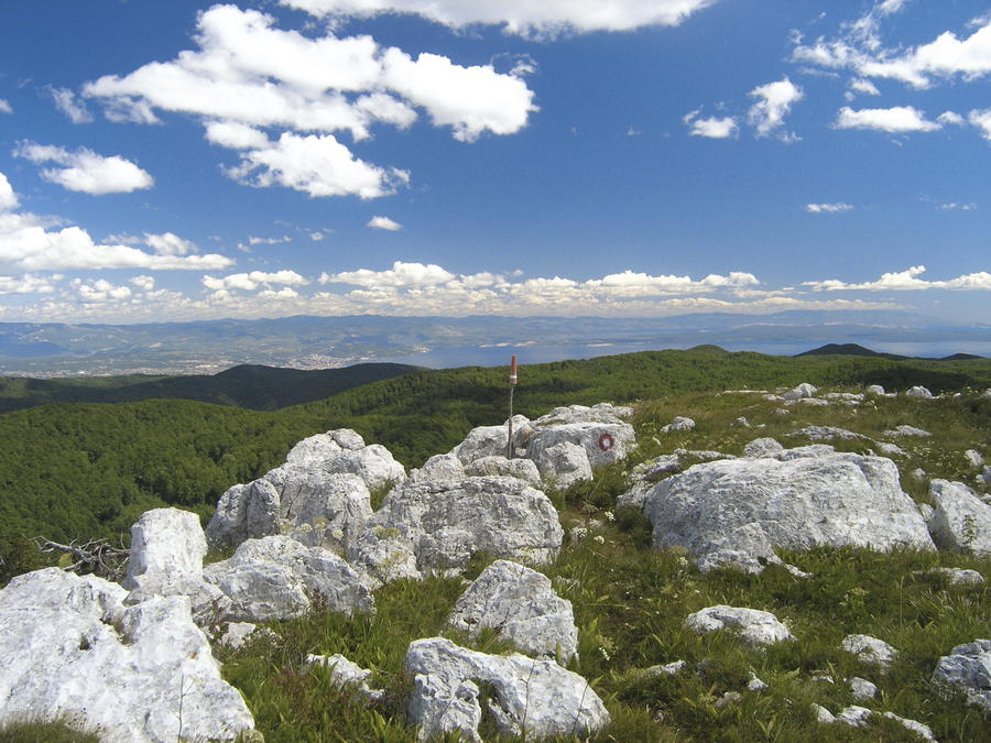
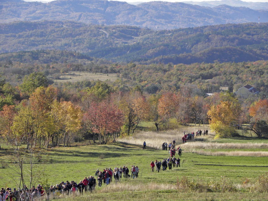
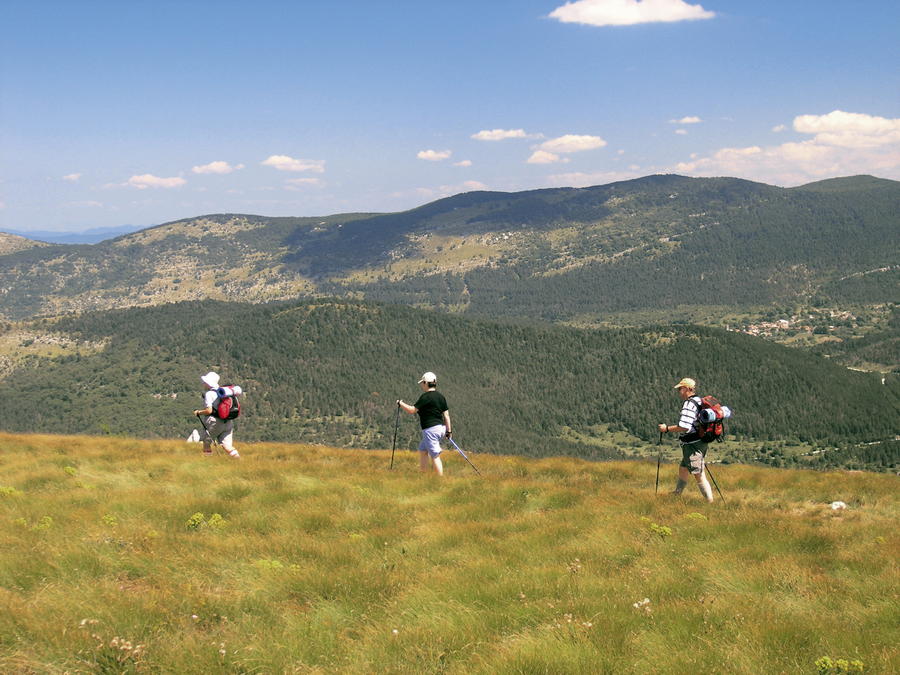
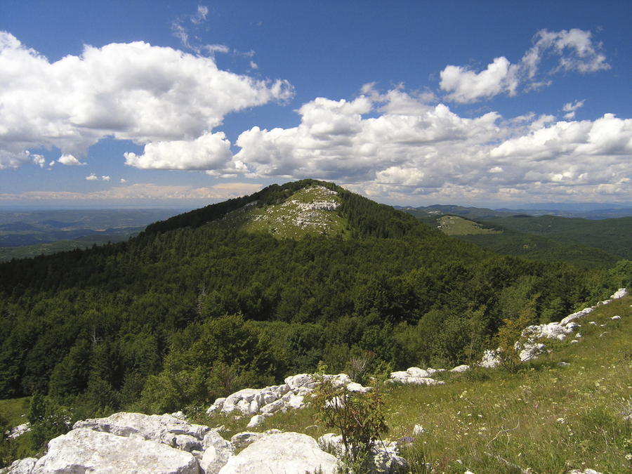
Ćićarija is a mountain that represents the eastern border of the Istrian peninsula. Unlike the mountain of Učka, which is tall but narrow and small in surface, the mountain of Ćićarija is a wide elevated area approximately 30 kilometers long and 15 kilometers wide, spreading from the Slovenian border to the mountain pass Poklon. In Slovenia, the continuation of the mountain of Ćićarija is the mountain of Slavnik. One interesting fact is that the Istrian side of Ćićarija is characterized by vertical rocky steps interspersed with wide plateaus, more clearly than any other mountain in Croatia, so one cannot see the peaks of Ćićarija from Istria, but only its rocks that represent the first step of the mountain. The slopes facing the mainland are less steep and more forested, merging into hilly area in the hinterland of the city of Rijeka (Pliš, Obruč, Slovenian Snežnik). The entire area has all the characteristics of arid karst terrain with Mediterranean forests and meadows. A large part of Ćićarija is covered in forests of black pine and juniper vegetation. Beech forests dominate in other areas.
- Težavnost
-
srednja
- Ocenjevanje
-
- Pot
-
Špičasti vrh (957 m)0,4 kmMuzari (985 m)1,1 kmPlaninarski dom Žbevnica2,9 kmBrest3,4 kmSbeunizza (1.014 m)4,6 kmTrstenik9,6 kmGomila (1.027 m)12,2 kmOrljak (1.106 m)19,0 kmProgon22,1 kmGora23,7 kmBrajkov vrh (1.091 m)25,0 kmPlaninarska kuća Korita25,7 kmŽupanj vrh (1.130 m)27,3 kmŠkrljavnik (1.067 m)29,2 kmSK HAD 584 (1.120 m)30,8 kmVeliki Planik (1.272 m)31,8 kmMali Planik (1.259 m)32,4 kmZamej38,3 kmPoklon (932 m)40,1 kmPlaninarski dom Poklon40,3 kmPoklon40,3 km
- Najboljša sezona
-
janfebmaraprmajjunjulavgsepoktnovdec
- Najvišja točka
- 1.255 m
- Destinacija
-
Vrh Veliki Planik
- Profil nadmorske višine
-
 © outdooractive.com


-

-
AvtorTurneja Via Dinarica HR-B-02 Ćićarija uporablja outdooractive.com na spletni strani ..


-
Hum
5