
- Kratek opis
-
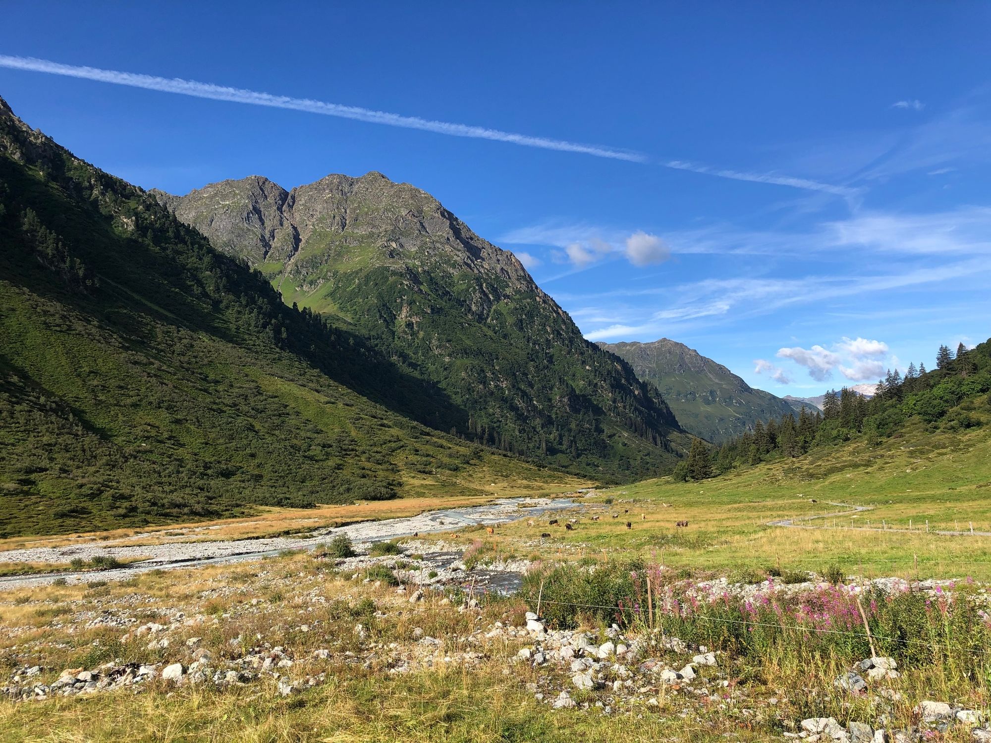
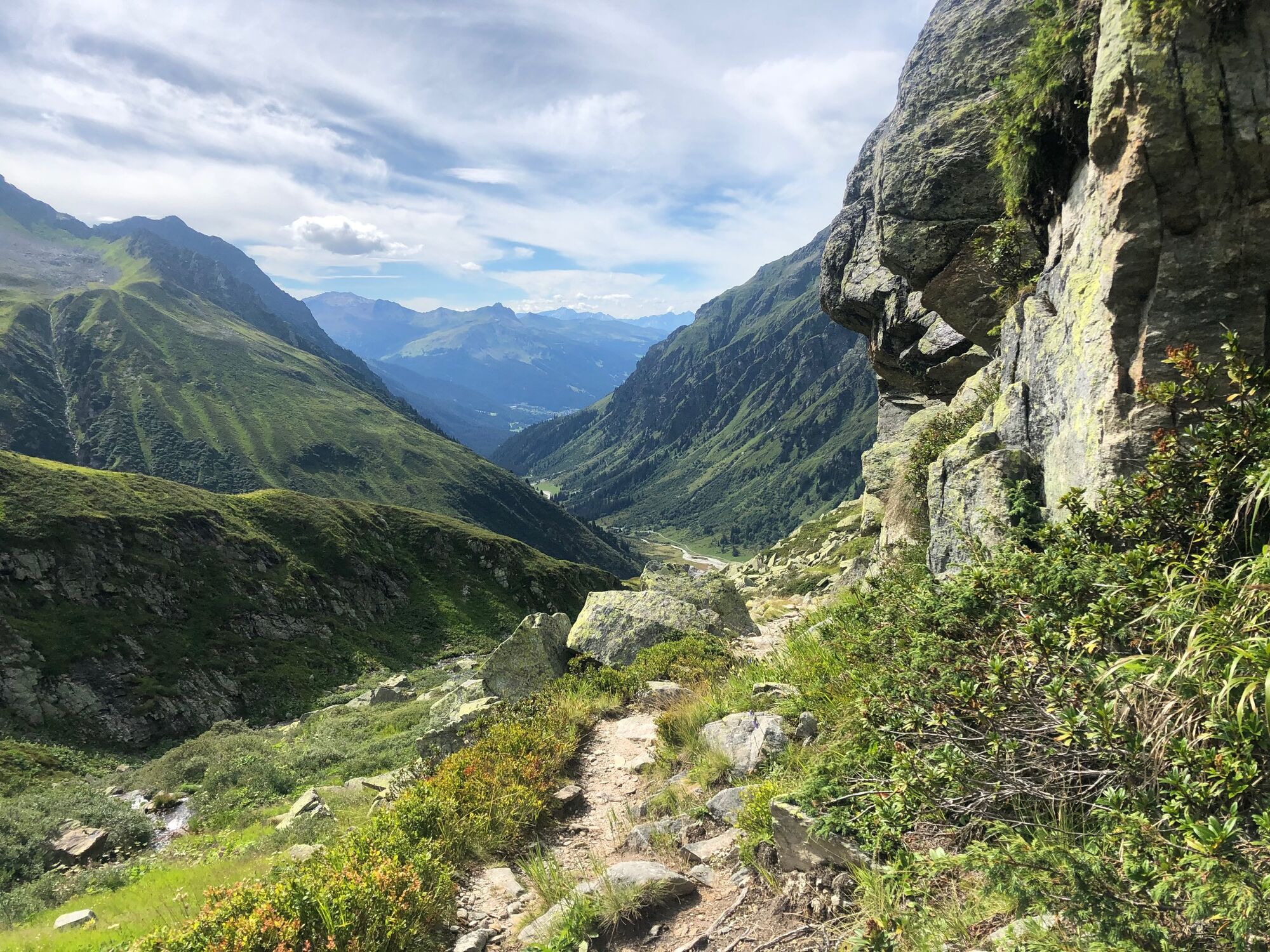
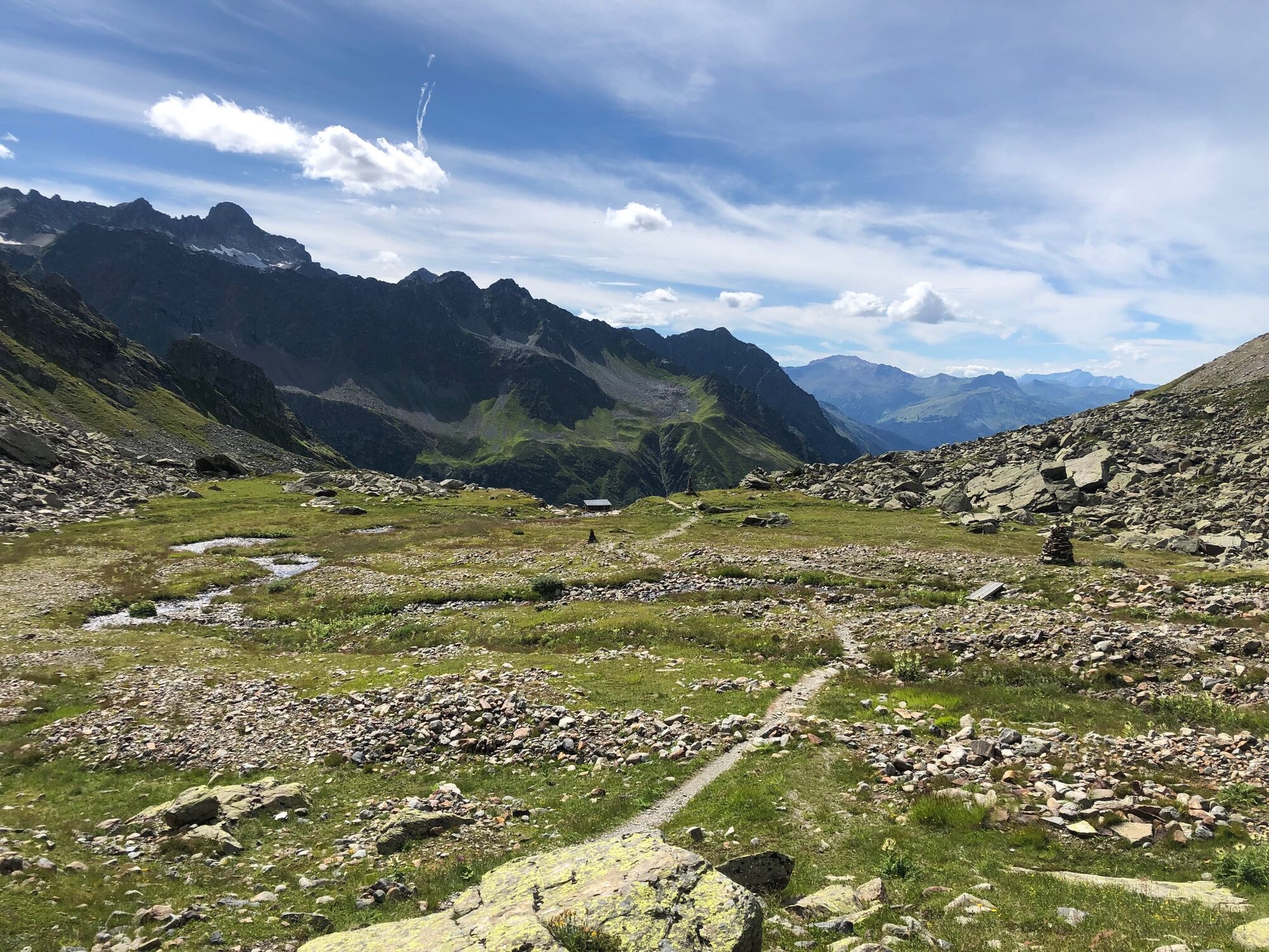
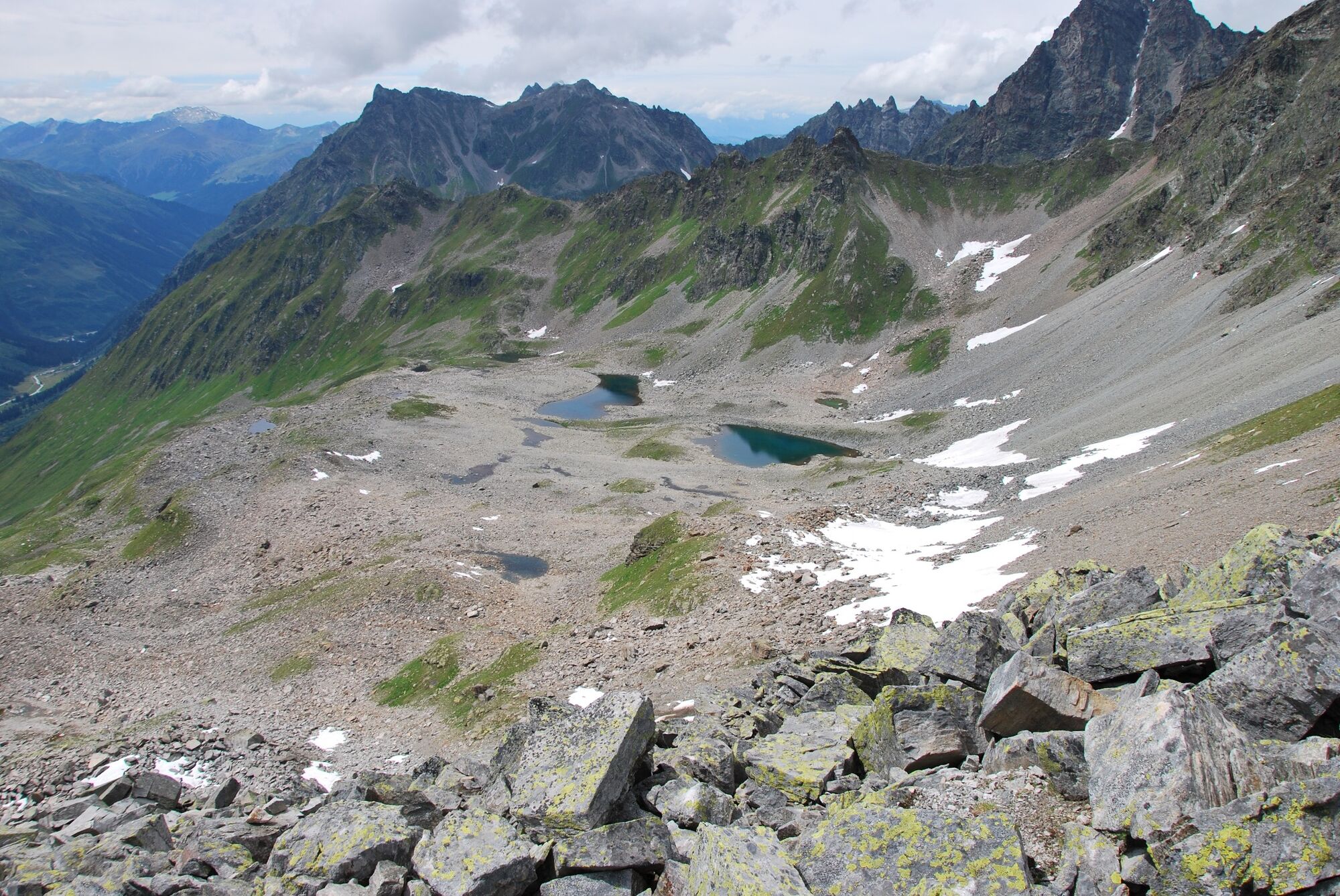
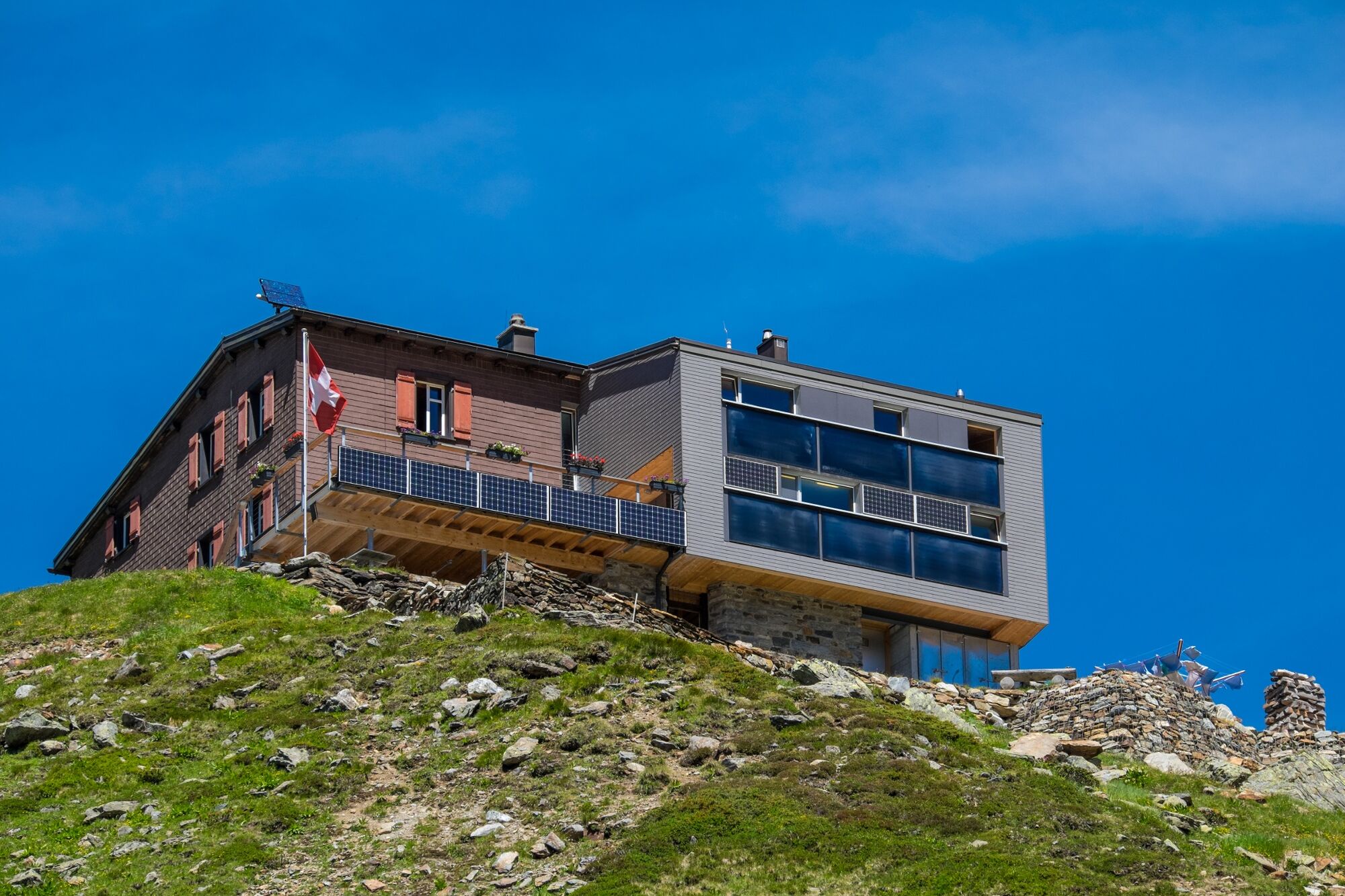
An impressive educational trail was set up in 2007 to teach people about this wild glacier landscape. The circular route, which heads into the forefield of the glacier, features 15 information panels providing interesting facts and figures about climate change and an alpine landscape in constant change. The starting point is the Silvretta Mountain Hut at a height of 2,341 metres. If the climb from Klosters is too far, it is also possible to take the bus taxi (Gotschna taxi) to Alp Sardasca, shortening the climb to the mountain hut. This description starts from Alp Sardasca.
- Težavnost
-
srednja
- Ocenjevanje
-
- Pot
-
Silvrettahütte3,1 km
- Najboljša sezona
-
janfebmaraprmajjunjulavgsepoktnovdec
- Najvišja točka
- 2.553 m
- Destinacija
-
Klosters / Alp Sardasca
- Profil nadmorske višine
-
 © outdooractive.com

-

-
AvtorTurneja Silvretta Glacier Trail (from Alp Sardasca) uporablja outdooractive.com na spletni strani ..
GPS Downloads


Splošne informacije
Postanek za osvežitev
Obetavno
Več izletov v regijah
-
Davos Klosters
927
-
Susch
111