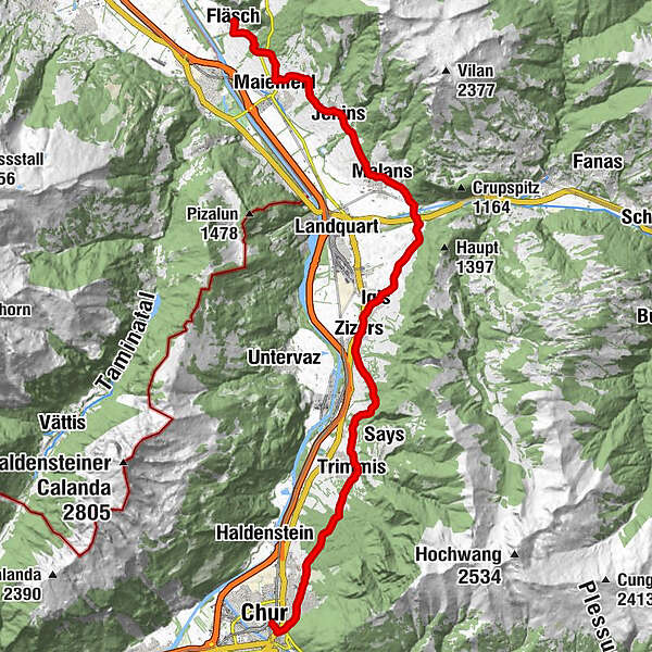
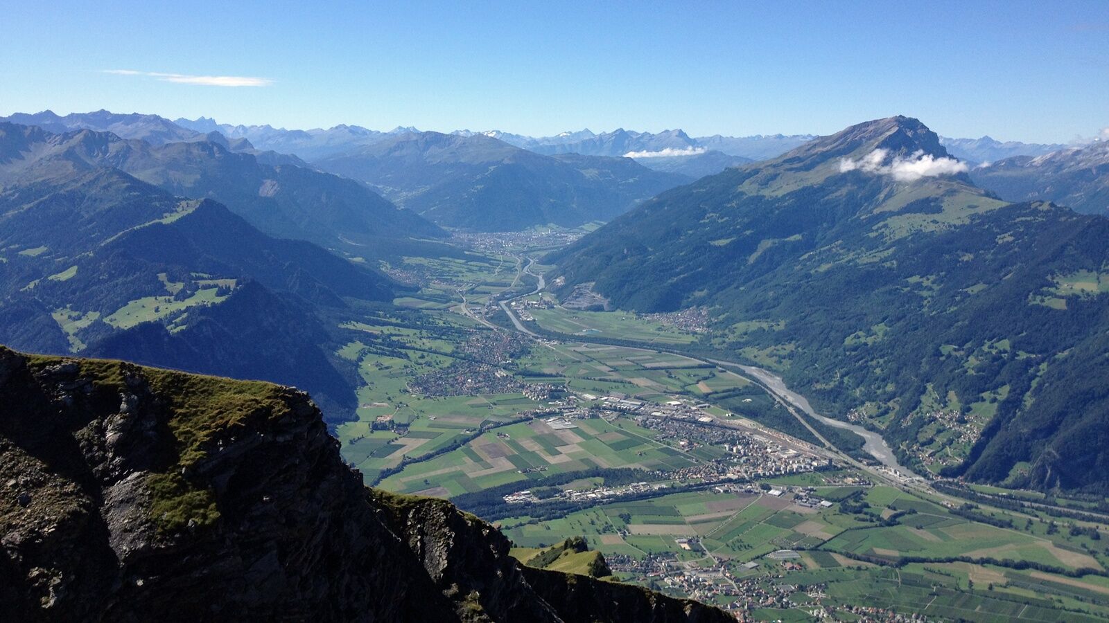
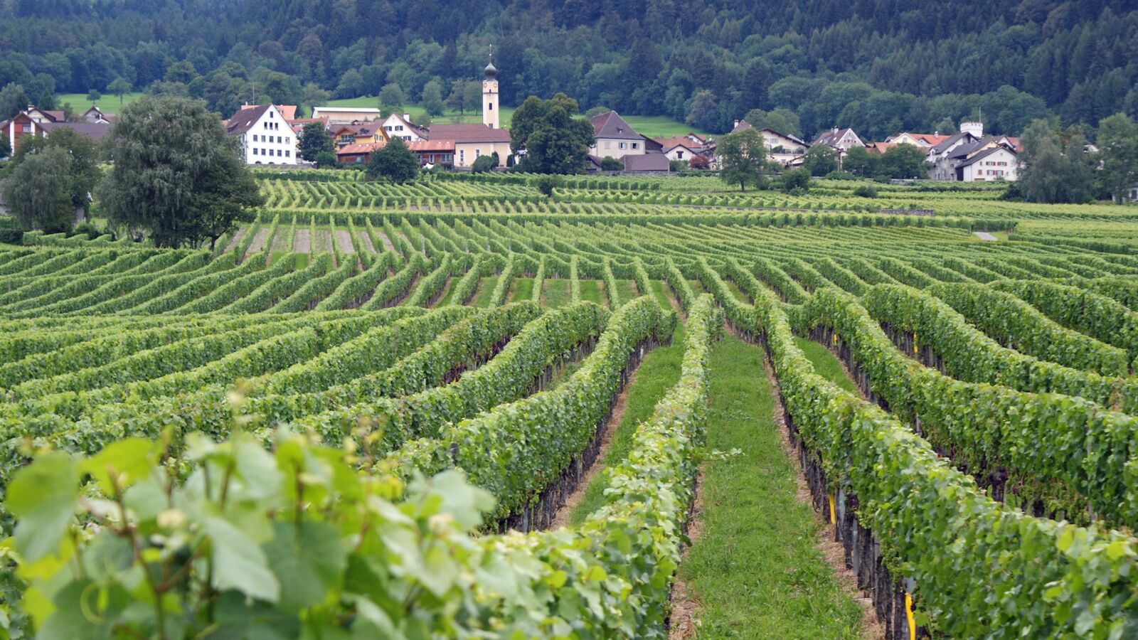
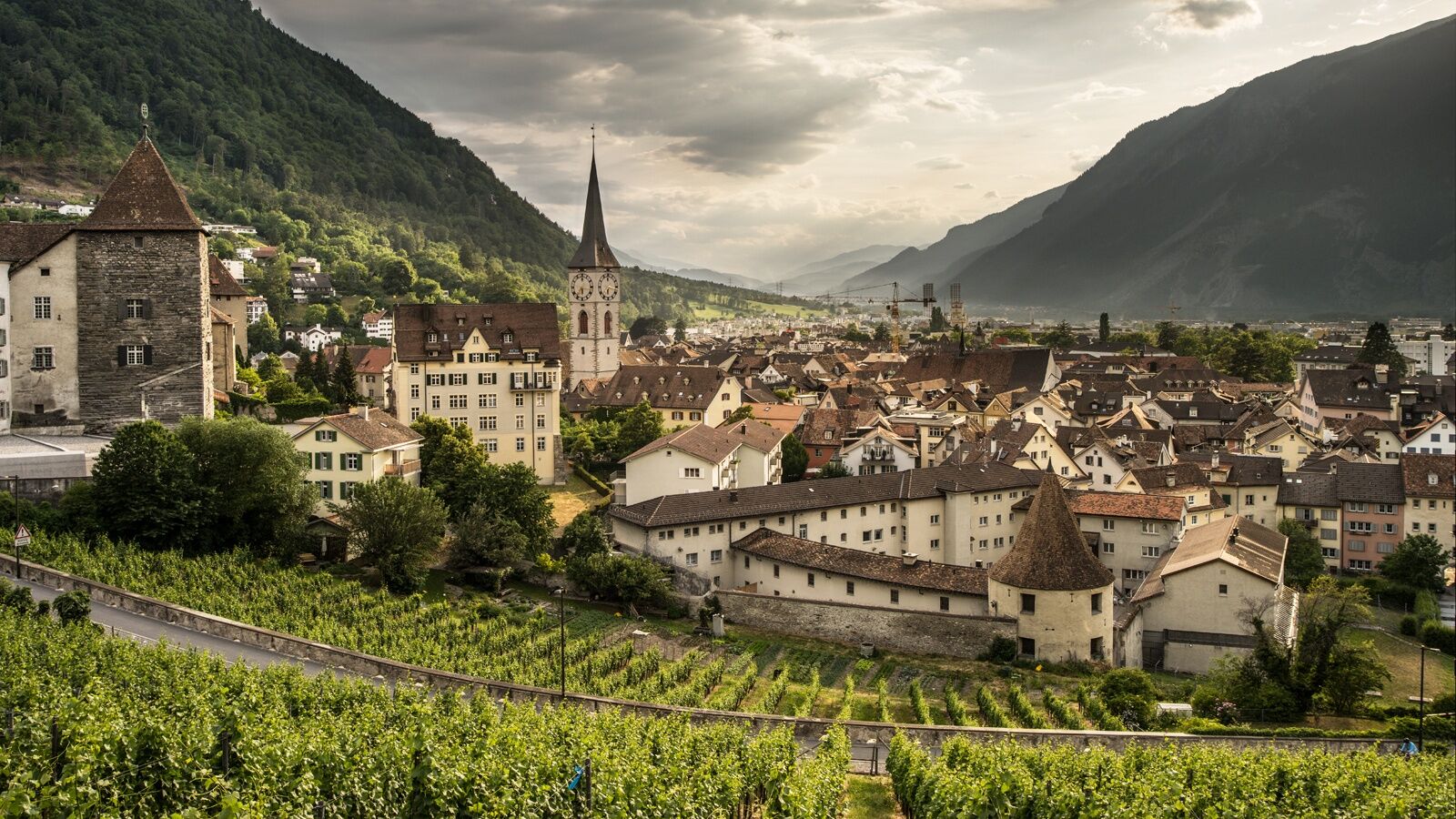
Wine Hiking Trail in Graubünden's Rhine Valley

Pohodništvo

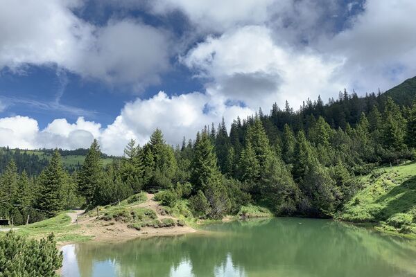
© Heidiland Tourismus


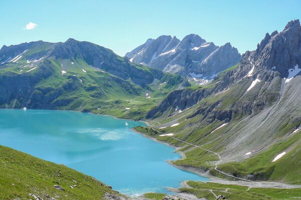
© Chur - Die Alpenstadt - Michael Christ

© Chur - Die Alpenstadt - Michael Christ

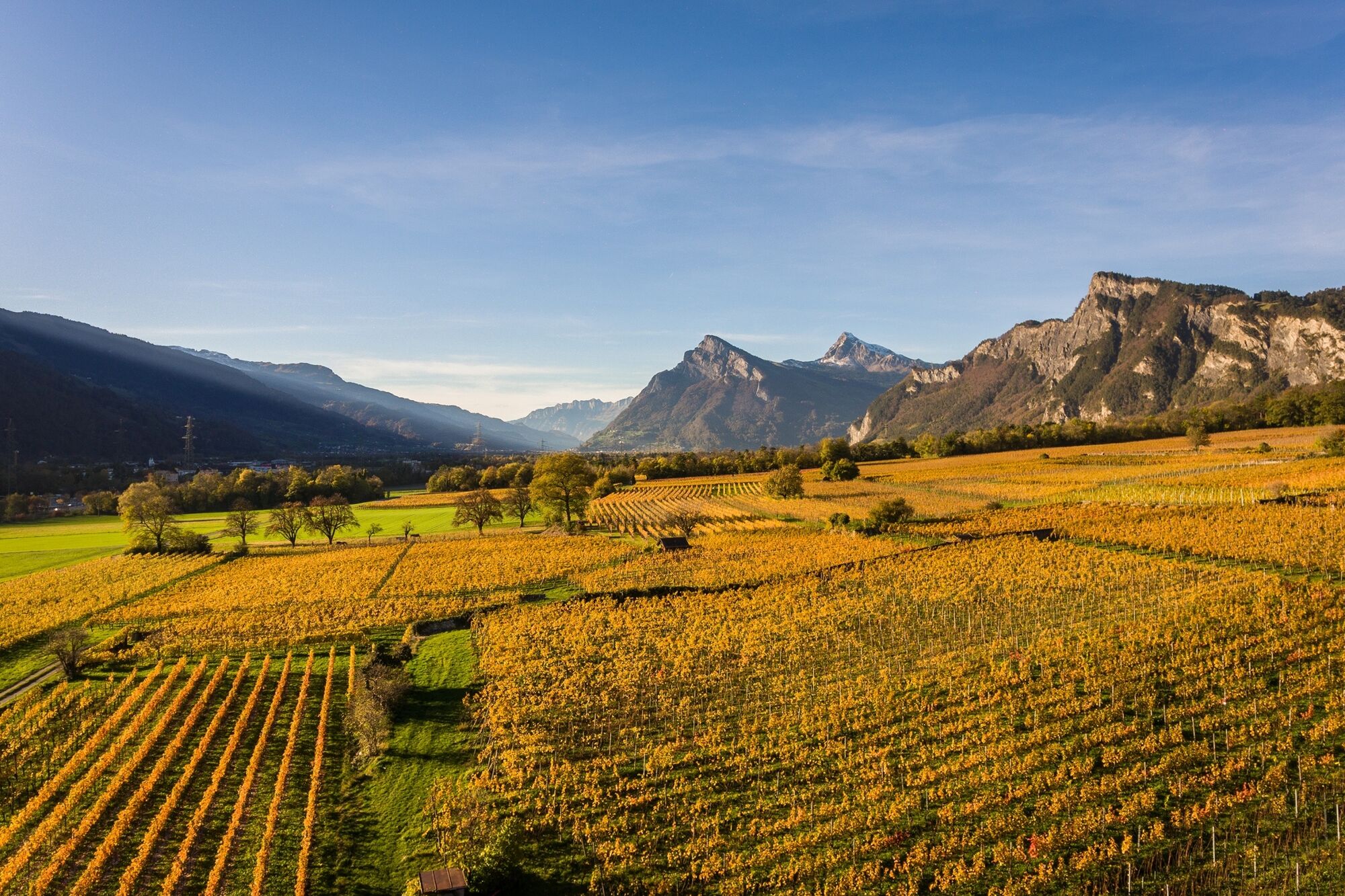
© Chur - Die Alpenstadt - Karin Bächer

- Kratek opis
-
The wine hiking trail Bündner Rheintal connects the city of Chur with the wine villages in the Bündner Rheintal and Bündner Herrschaft.
- Težavnost
-
srednja
- Ocenjevanje
-
- Pot
-
Chur (593 m)Katholische Kirche Trimmis6,2 kmTrimmis (637 m)6,2 kmMolinära8,9 kmZizers (561 m)11,8 kmReformierte Kirche12,9 kmIgis (563 m)13,0 kmHöflibeiz13,1 kmPagolla17,4 kmZum Ochsen18,3 kmMalans (568 m)18,3 kmHotel Weiss Kreuz18,4 kmGasthaus Krone18,4 kmOberdorf18,5 kmReformierte Kirche Malans18,5 kmJenins (635 m)21,1 kmReformierte Kirche21,3 kmRofels22,8 kmMaienfeld (504 m)23,9 kmAlte Schiesshütte24,6 kmFläsch (528 m)26,8 km
- Najboljša sezona
-
janfebmaraprmajjunjulavgsepoktnovdec
- Najvišja točka
- 734 m
- Destinacija
-
Chur, Fläsch or along the route
- Profil nadmorske višine
-
 © outdooractive.com

-

-
AvtorTurneja Wine Hiking Trail in Graubünden's Rhine Valley uporablja outdooractive.com na spletni strani ..
GPS Downloads


Splošne informacije
Postanek za osvežitev
Kulturni/Zgodovinski
Notranji nasvet
Flora
Obetavno
Več izletov v regijah
-
Heidiland
2201
-
Bündner Herrschaft
1202
-
Zizers
178