© Projektbüro Saar-Hunsrück-Steig, Klaus-Peter Kappest

© Tourismus Zentrale Saarland, Frank Polotzek

© Tourismus Zentrale Saarland, Frank Polotzek

© Tourismus Zentrale Saarland, Frank Polotzek

- Kratek opis
-
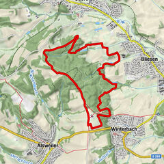
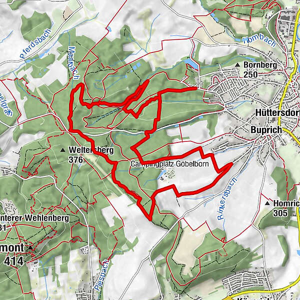
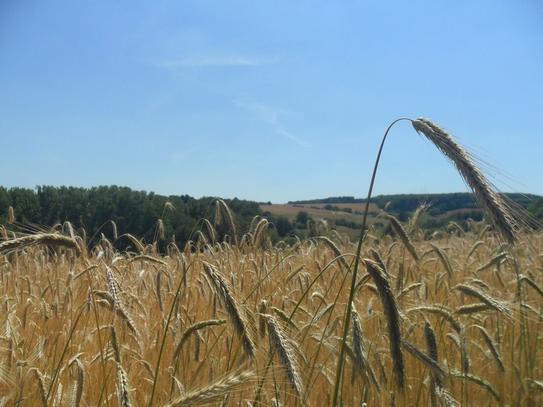
This trail takes its name ( Bach- und Burrenpfad ) from the five creeks and three wells it passes. Large sections take hikers through a shady mixed forest and there are plenty of great views of the Saar valley and up to the Lorraine region in France.
- Težavnost
-
srednja
- Ocenjevanje
-
- Pot
-
Maarbachquelle4,2 kmJudenbrunnen5,0 km
- Najboljša sezona
-
janfebmaraprmajjunjulavgsepoktnovdec
- Najvišja točka
- 356 m
- Destinacija
-
Wanderparkplatz Galgenberg in Schmelz-Hüttersdorf
- Profil nadmorske višine
-
 © outdooractive.com


- Avtor
-
Turneja Alongs creeks and past wells uporablja outdooractive.com na spletni strani ..
GPS Downloads


Splošne informacije
Kulturni/Zgodovinski
Flora
Več izletov v regijah
-
Moselle
244
-
Hochwald Ferienland
386
-
Saarlouis
49